Roosevelt CountyMT · 5 cams
667.1
North Dakota Linelooking east
Elev. 2,099 ft - MM 667.1

looking west
Elev. 2,099 ft - MM 667.1

another view
Road surface, elev. 2,099 ft - MM 667.1

- ⋮ 55 mi
612.5
Poplarlooking northeast
MM 612.5

another view
Roundabout view - MM 612.5

Phillips CountyMT · 3 cams
- ⋮ 110 mi
502.5
Sacolooking west
Elev. 2,177 ft - MM 502.5

looking east
Elev. 2,177 ft - MM 502.5

another view
Road surface, elev. 2,177 ft - MM 502.5

- ⋮ 99 mi
403.5
Chinooklooking west
Elev. 2,410 ft - MM 403.5
looking north
Elev. 2,410 ft - MM 403.5
looking east
Elev. 2,410 ft - MM 403.5
another view
Road surface, elev. 2,410 ft - MM 403.5
Hill CountyMT · 4 cams
- ⋮ 66 mi
337.6
Invernesslooking west
Elev. 3,300 ft - MM 337.6

looking north
Elev. 3,300 ft - MM 337.6

looking east
Elev. 3,300 ft - MM 337.6

another view
Road surface, elev. 3,300 ft - MM 337.6

Glacier CountyMT · 8 cams
- ⋮ 115 mi
223.1
Browninglooking southeast
Elev. 4,419 ft - MM 223.1

looking northwest
Elev. 4,419 ft - MM 223.1
another view
Road surface, elev. 4,419 ft - MM 223.1

another view
Horizon view, elev. 4,419 ft - MM 223.1

- ⋮ 12 mi
210.7
Two Medicine Bridgelooking west
Elev. 4,920 ft - MM 210.7

looking east
Elev. 4,920 ft - MM 210.7

another view
Road surface, elev. 4,920 ft - MM 210.7

another view
Bridge Deck view, elev. 4,920 ft - MM 210.7

EssexMT · 3 cams
- ⋮ 31 mi
179.9
Essexlooking southwest
Elev. 3,875 ft - MM 179.9

looking northeast
Elev. 3,875 ft - MM 179.9

another view
Road surface, elev. 3,875 ft - MM 179.9

- ⋮ 27 mi
153.4
West Glacierlooking west
Elev. 3,240 ft - MM 153.4
looking east
Elev. 3,240 ft - MM 153.4
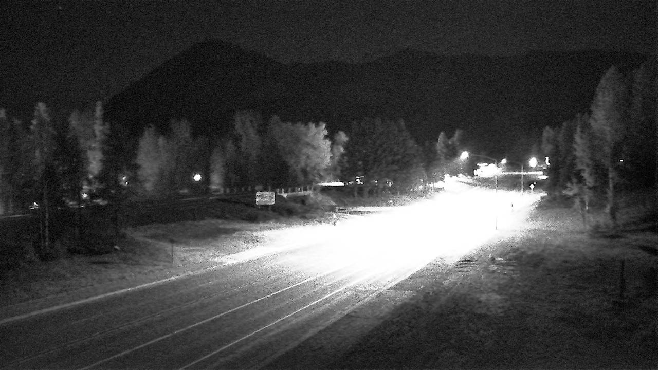
another view
Road surface, elev. 3,240 ft - MM 153.4
- ⋮ 11 mi
142.1
Hungry Horselooking north
Elev. 3,038 ft - MM 142.1

another view
Road surface, elev. 3,038 ft - MM 142.1

another view
Bridge Deck view, elev. 3,038 ft - MM 142.1

Flathead CountyMT · 4 cams
- ⋮ 8 mi
133.9
Blue Moonlooking south
Elev. 3,010 ft - MM 133.9
looking west
Elev. 3,010 ft - MM 133.9
looking east
Elev. 3,010 ft - MM 133.9
another view
Road surface, elev. 3,010 ft - MM 133.9
Lincoln CountyMT · 6 cams
- ⋮ 81 mi
53.1
Crystal Creeklooking northwest
Elev. 3,030 ft - MM 53.1

looking southeast
Elev. 3,030 ft - MM 53.1

another view
Road surface, elev. 3,030 ft - MM 53.1

- ⋮ 48 mi
4.8
Yaak Hilllooking north
Elev. 2,201 ft - MM 4.8

looking south
Elev. 2,201 ft - MM 4.8

another view
Road surface, elev. 2,201 ft - MM 4.8

310.2
Deer Park-Milan Rd
US-2 at Deer Park-Milan Rd, Deer Park - MM 310.16

- ⋮ 15 mi
295.6
Farwell Rd
US-2 at Farwell Rd, Fairwood - MM 295.6

295.3
Pittsburg St
US-2 at Pittsburg St, Fairwood - MM 295.27

294.1
Nevada St
US-2 at Nevada St, Fairwood - MM 294.1

- ⋮ 12 mi
282.0
Sunset Hwy
US-2 at Sunset Hwy, Spokane - MM 282

279.2
Hayford Rd
US-2 at Hayford Rd, Airway Heights - MM 279.2

275.3
Fairchildlooking east
US-2 eastbound at Fairchild, Fairchild AFB - MM 275.33

looking west
US-2 westbound at Fairchild, Fairchild AFB - MM 275.33

- ⋮ 82 mi
193.4
Coulee Citylooking north
US-2 northbound at Coulee City, Banks Lake South - MM 193.35

- ⋮ 44 mi
149.2
View S Wlooking north
US-2 northbound at (View S.W.), Waterville - MM 149.2

- ⋮ 21 mi
127.8
US-97 I/C E. End Odabashian Br.looking west
US-2 westbound at US-97 I/C E. End Odabashian Br., Wenatchee - MM 127.83

- ⋮ 9 mi
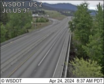
118.8
US-97 Interchangelooking east
View SouthUS-2 eastbound at US-97 Interchange (View South), Wenatchee - MM 118.75

- ⋮ 14 mi
104.8
Don Senn Memorial Interchangelooking west
US-2 westbound at Don Senn Memorial Interchange, Leavenworth - MM 104.81
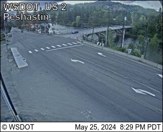
103.7
Peshastinlooking west
US-2 westbound at Peshastin, Leavenworth - MM 103.67
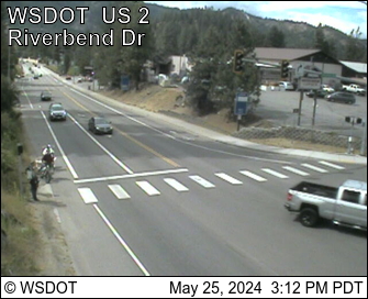
100.6
E. Leavenworthlooking west
US-2 westbound at E. Leavenworth, Leavenworth - MM 100.63
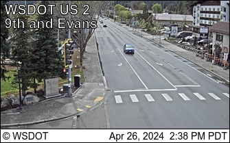
99.9
Leavenworthlooking west
US-2 at Leavenworth - MM 99.9
- ⋮ 15 mi
84.6
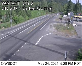
SR-207 Coles Cornerlooking east, Chelan County
US-2 eastbound at SR-207 Coles Corner, Chelan County - MM 84.57
- ⋮ 20 mi
64.6
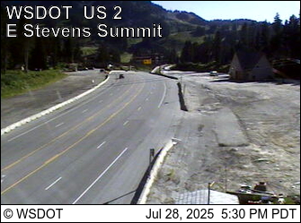
East Stevens Pass Summitlooking west, Chelan County
US-2 westbound at East Stevens Pass Summit, Chelan County - MM 64.58
King CountyWA · 4 cams
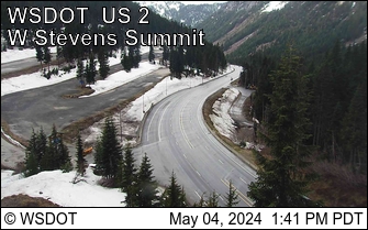
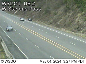
US-2 westbound at West Stevens Pass - Ski Lodge, King County - MM 64.3
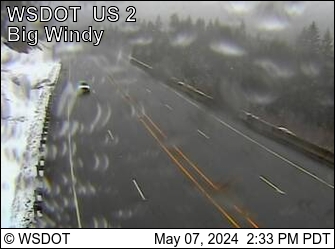
US-2 at Big Windy - MM 63.0
US-2 at Old Faithful Avalanche Zone - MM 61.9
- ⋮ 16 mi
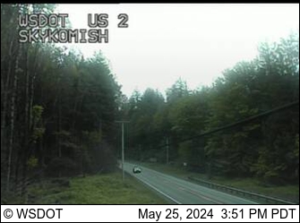
US-2 at Skykomish - MM 45.6
- ⋮ 21 mi
US-2 at Rice Rd, Sultan - MM 24.27

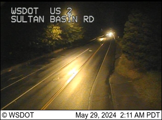
US-2 eastbound at Sultan Basin Rd, Sultan - MM 23.22
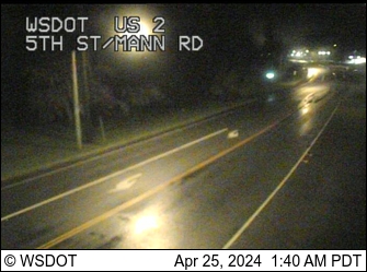
US-2 eastbound at 5th St, Sultan - MM 22.35
- ⋮ 7 mi
US-2 southbound at Main St, Monroe - MM 15.25

US-2 southbound at Lewis St (SR-203), Monroe - MM 14.94

US-2 southbound at Kelsey St, Monroe - MM 14.6

US-2 southbound at SR-522 Interchange, Monroe - MM 14.29

US-2 at 179th Ave SE, Monroe North - MM 13.9
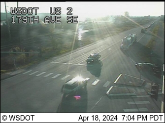
US-2 at Fryelands Blvd / Roosevelt Rd SE, Monroe - MM 12.94

- ⋮ 8 mi
US-2 at SR-9 Interchange, Bunk Foss - MM 5.04

US-2 at Bickford Ave, Bunk Foss - MM 3.95

US-2 westbound at SR-204 Interchange, Lake Stevens - MM 2.4

US-2 at Ebey Slough, Lake Stevens - MM 2.07

US-2 at Homeacres Rd, Everett - MM 0.68
US-2 at Under I-5 Interchange, Everett - MM 0.01

 JamJumper