More Info: 511NY • WYDOT Road Info • Idaho 511 • ODOT TripCheck
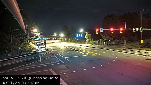
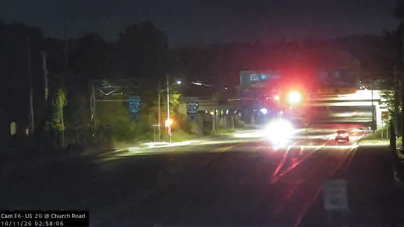
Unincorporated (Albany County), NY
US 20 at Schoolhouse Road
US 20 at Church Road
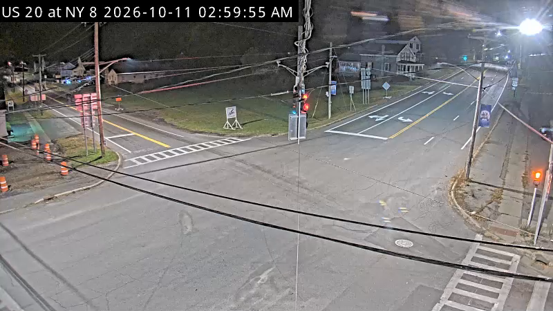
Bridgewater, NY
US 20 at NY 8
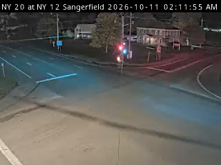
Unincorporated (Oneida County), NY
US 20 at NY 12
Lusk, WY
View west - MM 57.85
View east - MM 57.85
MM 57.85
View west - MM 55.00
View east - MM 55.00
MM 55.00
View west - MM 37.60
View east - MM 37.60
MM 37.60
Casper, WY
View west - MM 30.00
View east - MM 30.00
MM 30.00
Shoshoni, WY
View west - MM 53.20
View east - MM 53.20
MM 53.20
View east - MM 57.40
View west - MM 57.40
MM 57.40
View east - MM 79.10
View west - MM 79.10
MM 79.10
Basin, WY
View west - MM 184.60
View east - MM 184.60
MM 184.60
Worland, WY
View north - MM 164.17
View south - MM 164.17
MM 164.17
View north - MM 202.87
View south - MM 202.87
MM 202.87
View north - MM 101.18
View south - MM 101.18
MM 101.18
View south - MM 112.90
View north - MM 112.90
MM 112.90
Thermopolis, WY
View north - MM 122.00
View south - MM 122.00
MM 122.00
View north - MM 144.59
View south - MM 144.59
MM 144.59
View north - MM 127.86
View south - MM 127.86
MM 127.86
Island Park, ID
Elev. 6,617 ft - View east - MM 401
Elev. 6,617 ft - View west - MM 401
Road surface, elev. 6,617 ft - MM 401
Unincorporated (Fremont County), ID
Elev. 6,180 ft - View east - MM 369.7
Elev. 6,180 ft - View west - MM 369.7
Road surface, elev. 6,180 ft - MM 369.7
Elev. 6,122 ft - View north - MM 379.1
Elev. 6,122 ft - View south - MM 379.1
Road surface, elev. 6,122 ft - MM 379.1
Elev. 5,117 ft - View north - MM 354.4
Elev. 5,117 ft - View south - MM 354.4
Road surface, elev. 5,117 ft - MM 354.4
Unincorporated (Madison County), ID
Elev. 4,873 ft - View east - MM 328.12
Elev. 4,873 ft - View west - MM 328.12
Road surface, elev. 4,873 ft - MM 328.12
Unincorporated (Bonneville County), ID
Elev. 4,797 ft - View east - MM 314.5
Elev. 4,797 ft - View west - MM 314.5
Road surface, elev. 4,797 ft - MM 314.5
Elev. 5,112 ft - View east - MM 288
Elev. 5,112 ft - View west - MM 288
Road surface, elev. 5,112 ft - MM 288
Unincorporated (Bingham County), ID
Elev. 5,406 ft - View east - MM 279.4
Elev. 5,406 ft - View west - MM 279.4
Road surface, elev. 5,406 ft - MM 279.4
Unincorporated (Butte County), ID
Elev. 4,949 ft - View east - MM 272
Elev. 4,949 ft - View west - MM 272
Interchange view, elev. 4,949 ft - MM 272
MM 251.86
Unincorporated (Elmore County), ID
Elev. 5,502 ft - View east - MM 127
Elev. 5,502 ft - View west - MM 127
Road surface, elev. 5,502 ft - MM 127
Unincorporated (Malheur County), OR
US20 at Drinkwater Pass
Unincorporated (Harney County), OR
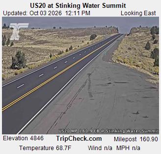
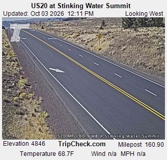
US20 at Stinking Water Summit
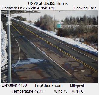
US20 at US395 Burns
US20 at US395 - Riley
Unincorporated (Lake County), OR
US20 at Buck Creek
Unincorporated (Deschutes County), OR
US20 at Hampton
US20 at Horse Ridge
US20 at Ward-Hamby Rd
Bend, OR
US20 at Parkway On-Ramp
US20 at Bend - Butler Market Rd
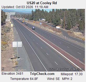
US20 at Cooley Rd
Black Butte Ranch, OR
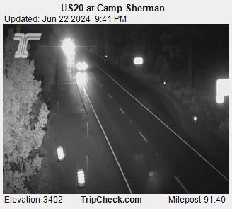
US20 at Camp Sherman MP91.40 - MM 91.40
Unincorporated (Linn County), OR
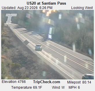
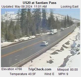
US20 at Santiam Pass
View east - MM 80
View east - MM 74.8
View west - MM 74.8
US20 at Tombstone
Sweet Home, OR
US20 at Sweet Home
Lebanon, OR
US20 at Weldwood Dr
Albany, OR
US20 at Waverly Dr SE
US20 at Spring Hill Dr - View east
US20 at Spring Hill Dr - View north
US20 at Spring Hill Dr - View west
Blodgett, OR
US20 at Dudlee Hill
Unincorporated (Lincoln County), OR
US20 at Pioneer Mountain
More JamJumper: