401.8
Pine Bluffslooking west
MM 401.80
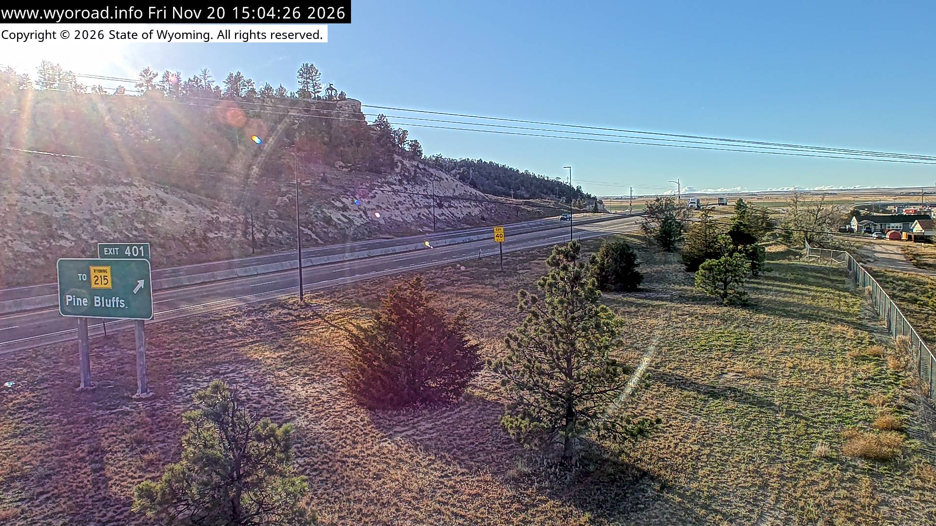
looking east
MM 401.80
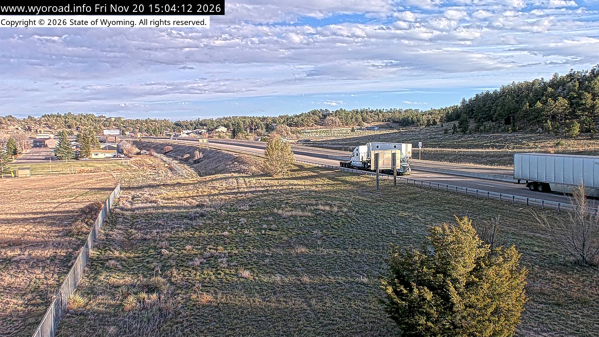
another view
MM 401.80
- ⋮ 15 mi
386.5
Carpenter Interchangelooking west
MM 386.50
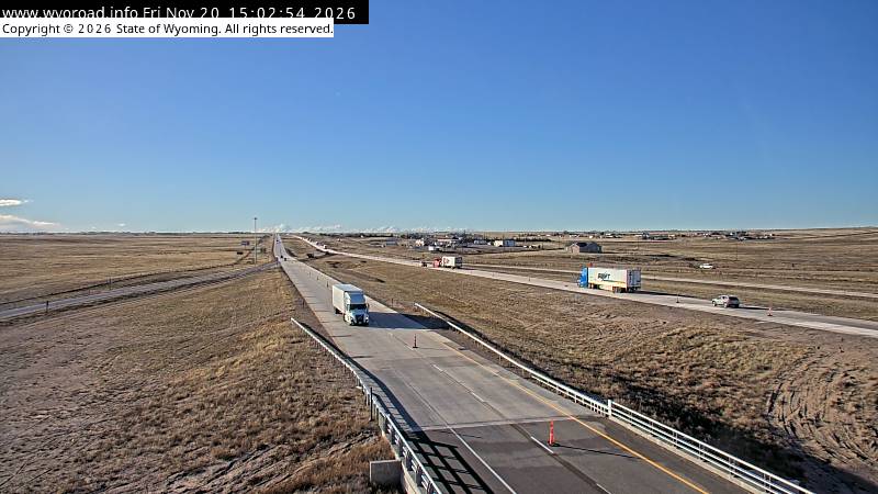
looking north
MM 386.50
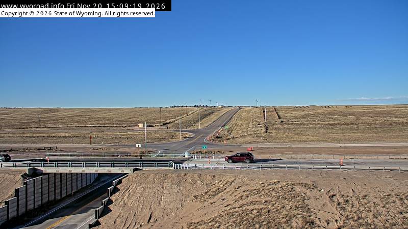
looking east
MM 386.50
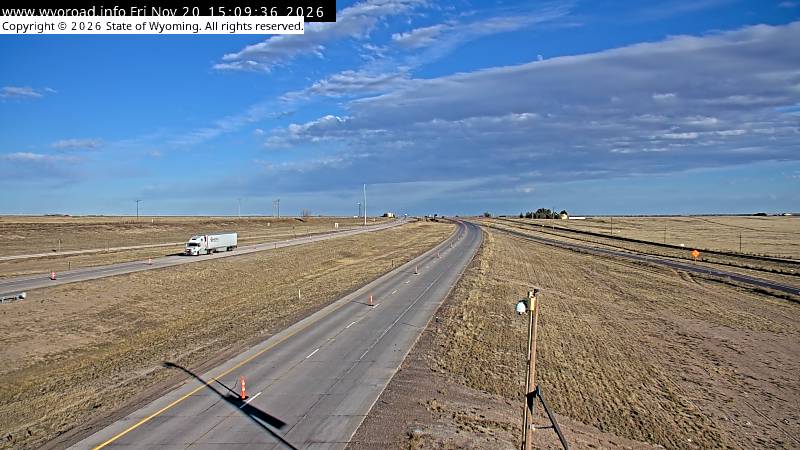
looking south
MM 386.50
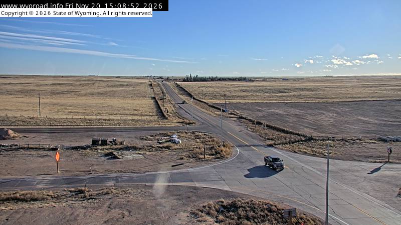
another view
MM 386.50
- ⋮ 14 mi
373.0
Cheyenne Eastlooking west
MM 373.00
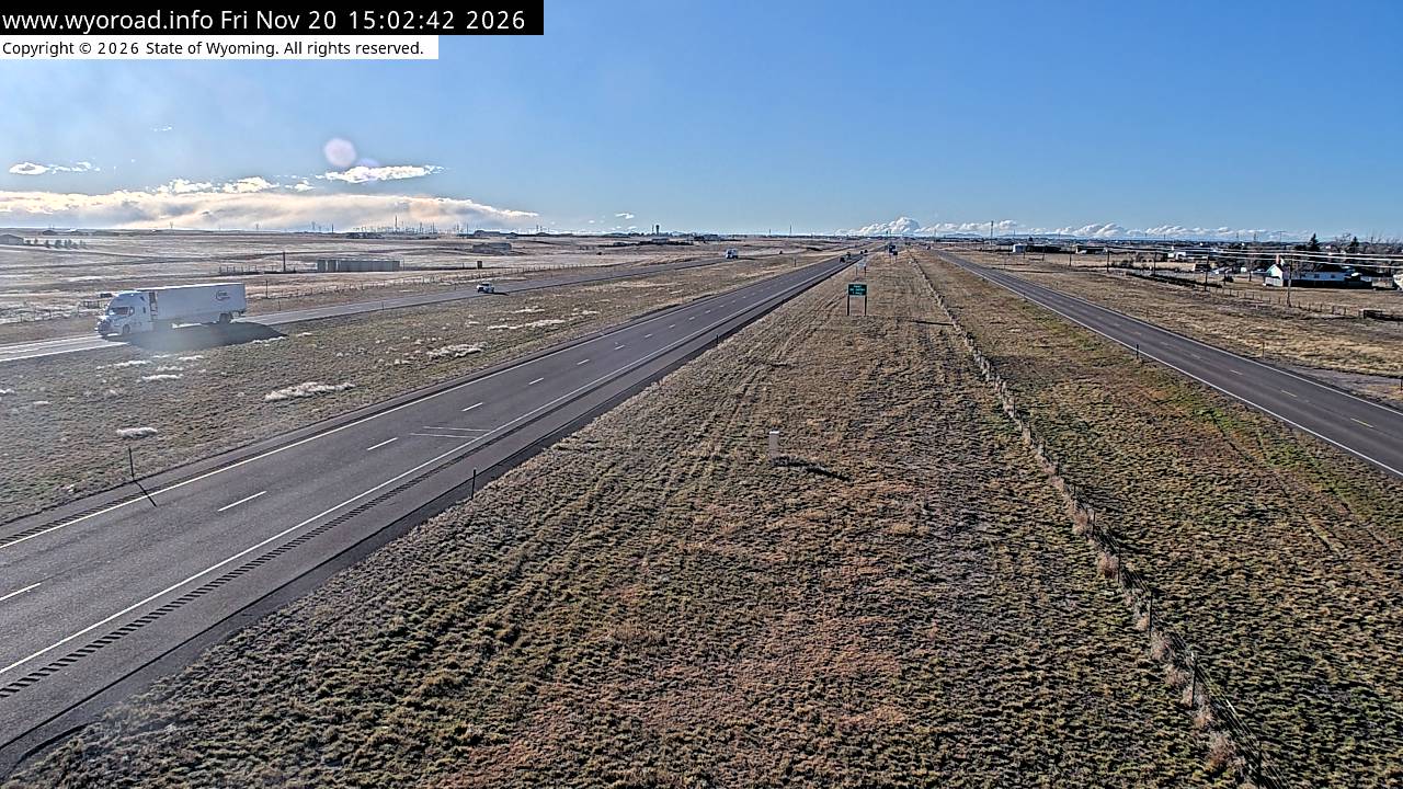
looking east
MM 373.00
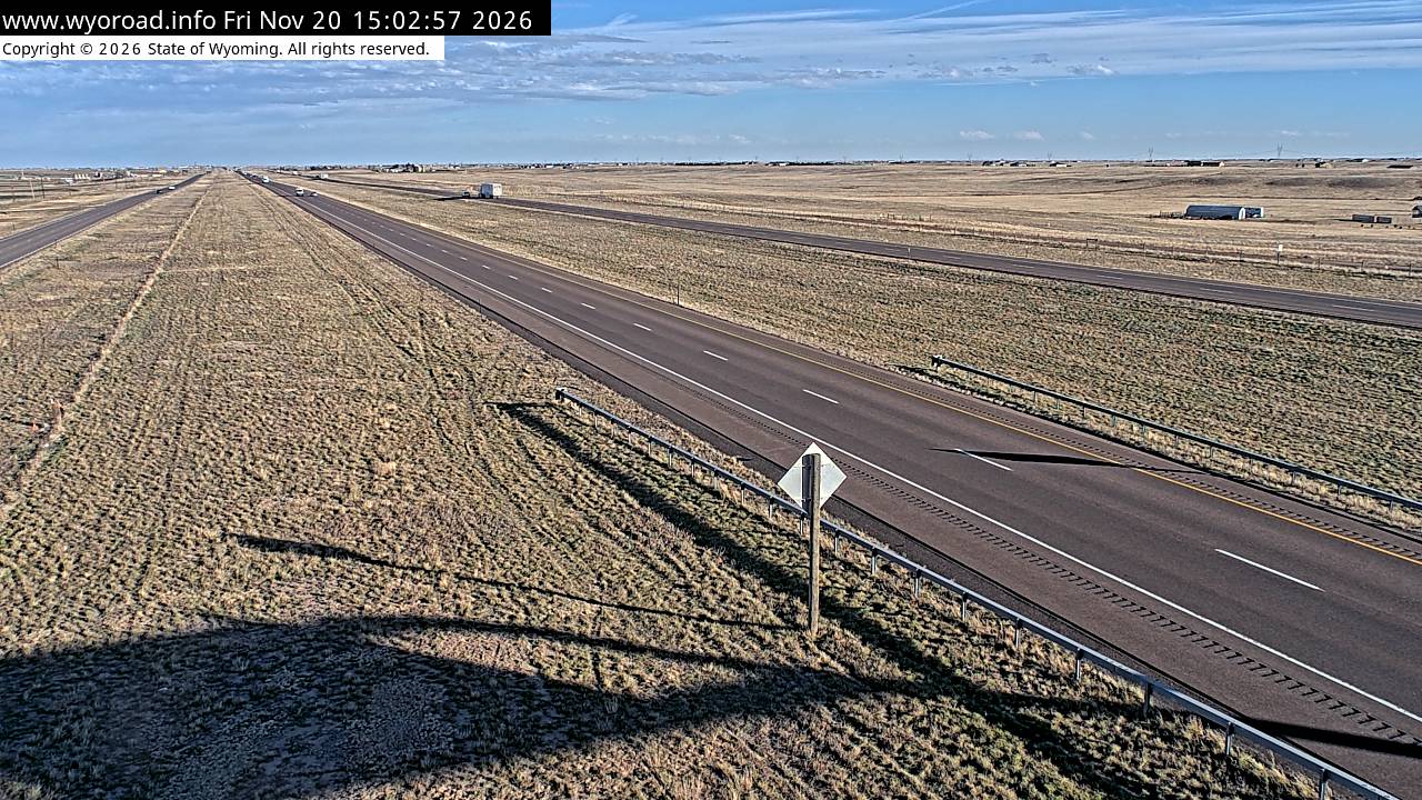
another view
MM 373.00
- ⋮ 15 mi
357.9
Roundtoplooking west
MM 357.90
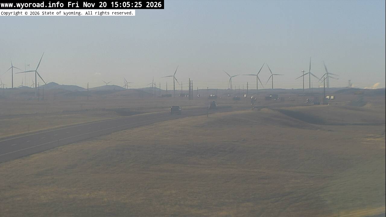
another view
MM 357.90
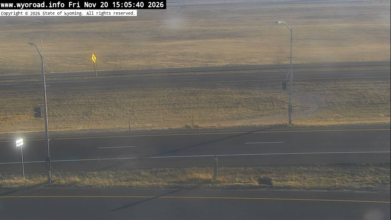
looking east
MM 357.90
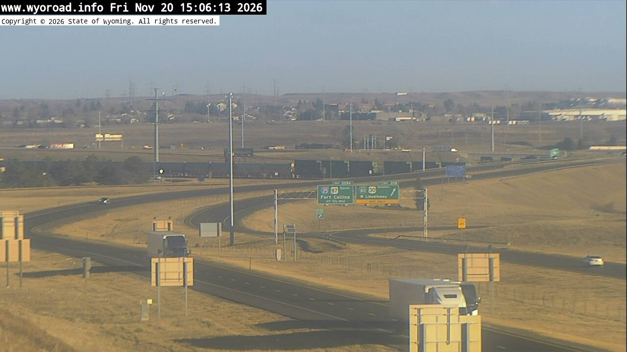
another view
MM 357.90
353.0
MP 353.0looking west
MM 353.00
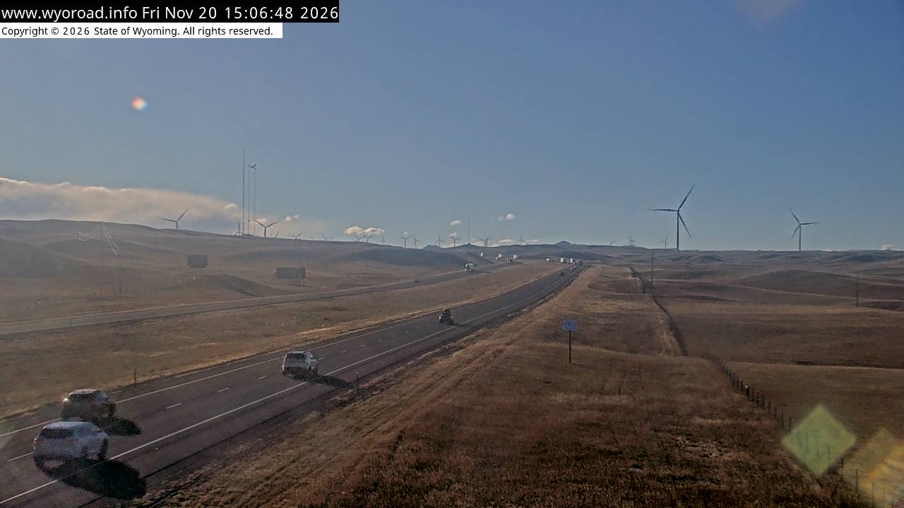
looking east
MM 353.00
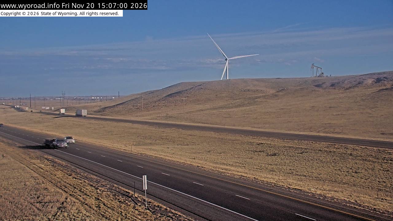
another view
MM 353.00
- ⋮ 8 mi
345.0
Warren Interchangelooking west
MM 345.00
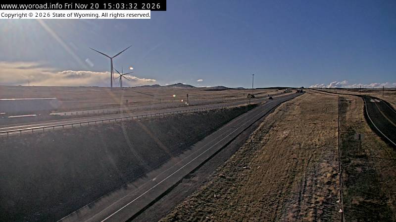
looking east
MM 345.00
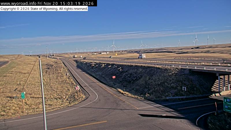
another view
MM 345.00
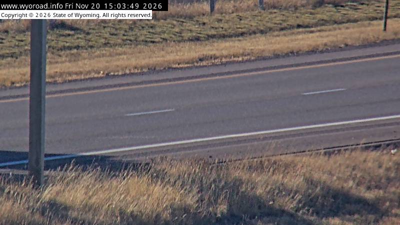
343.8
Harriman Eastlooking west
MM 343.80
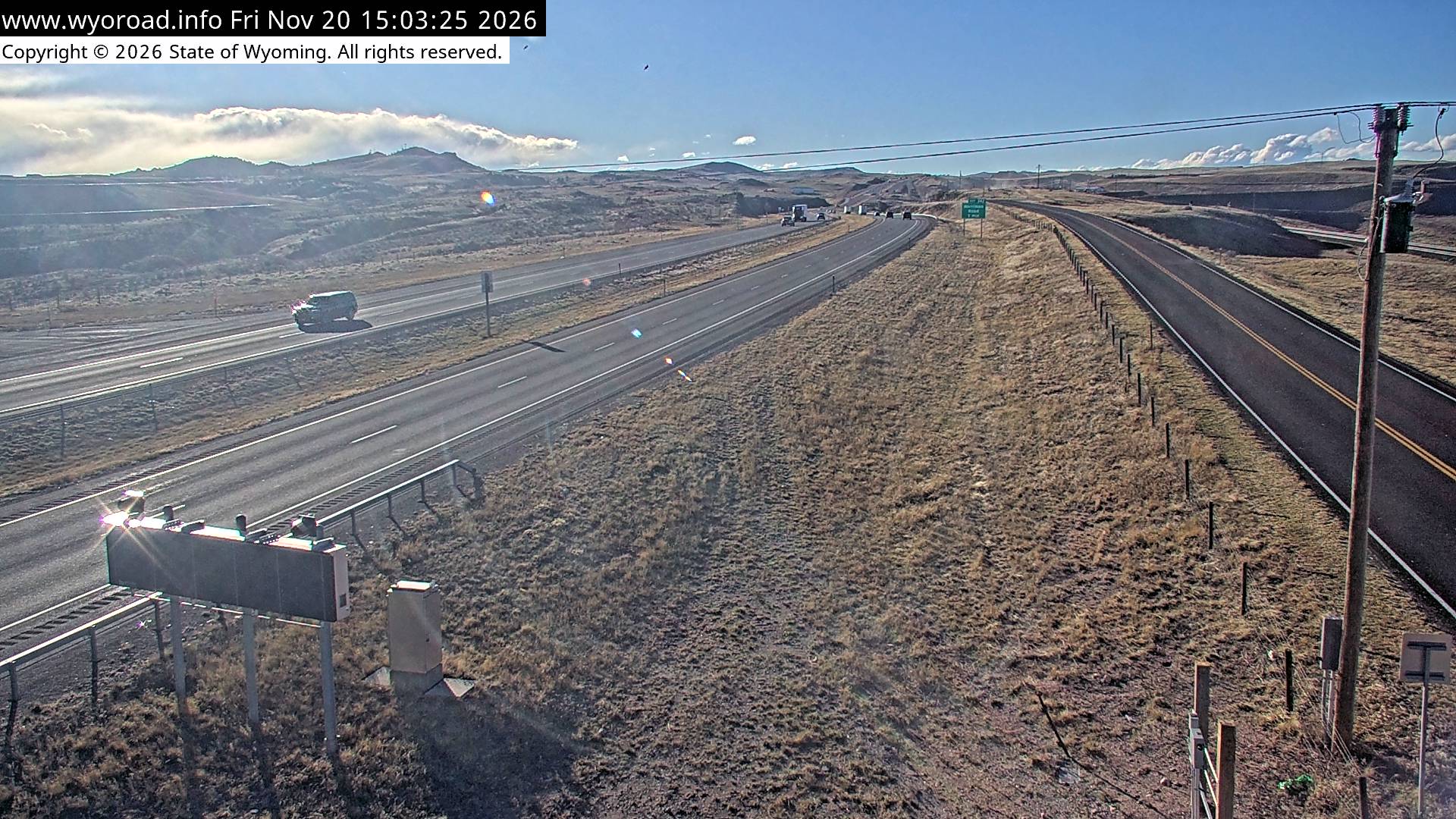
looking east
MM 343.80
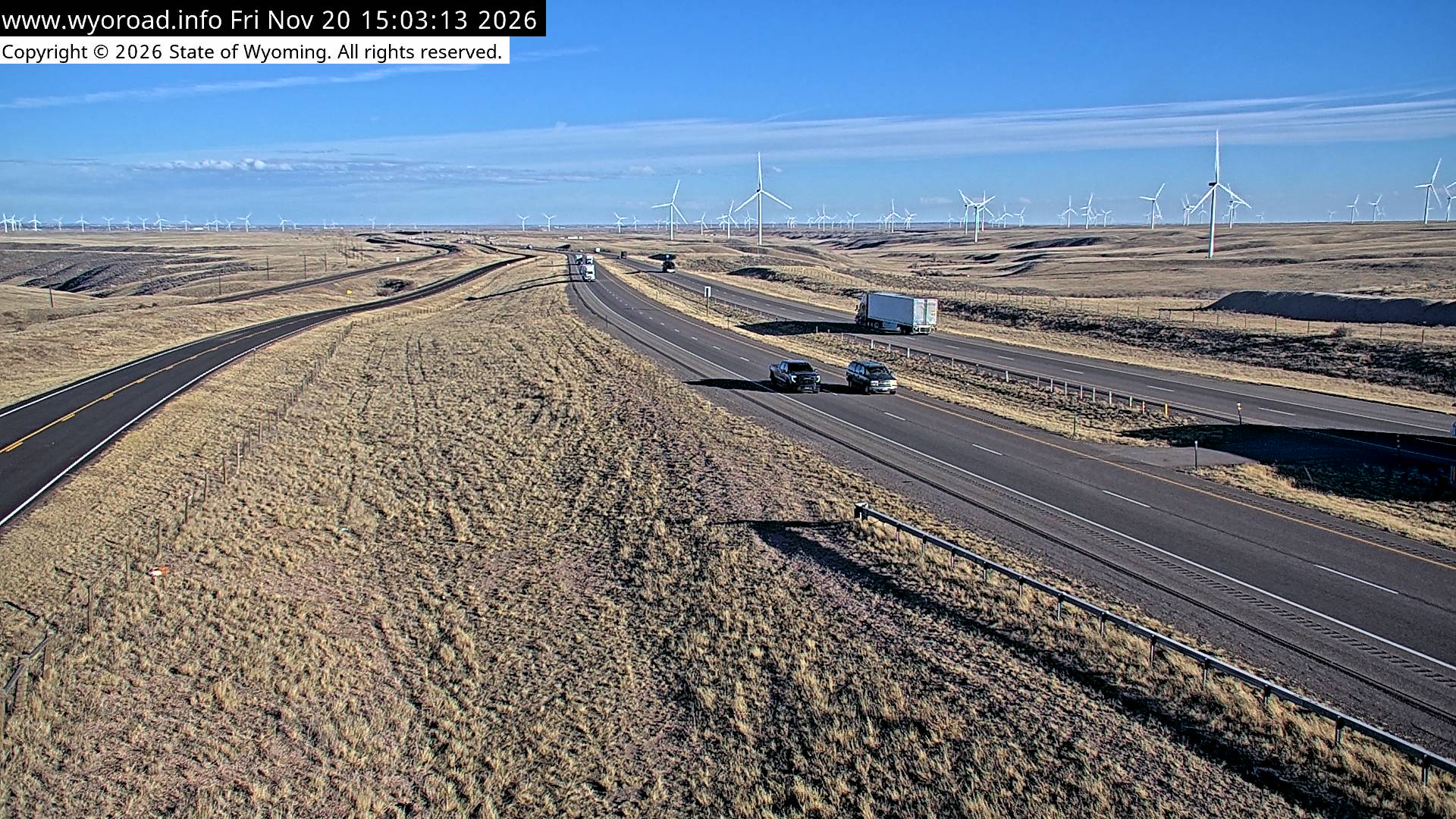
another view
MM 343.80
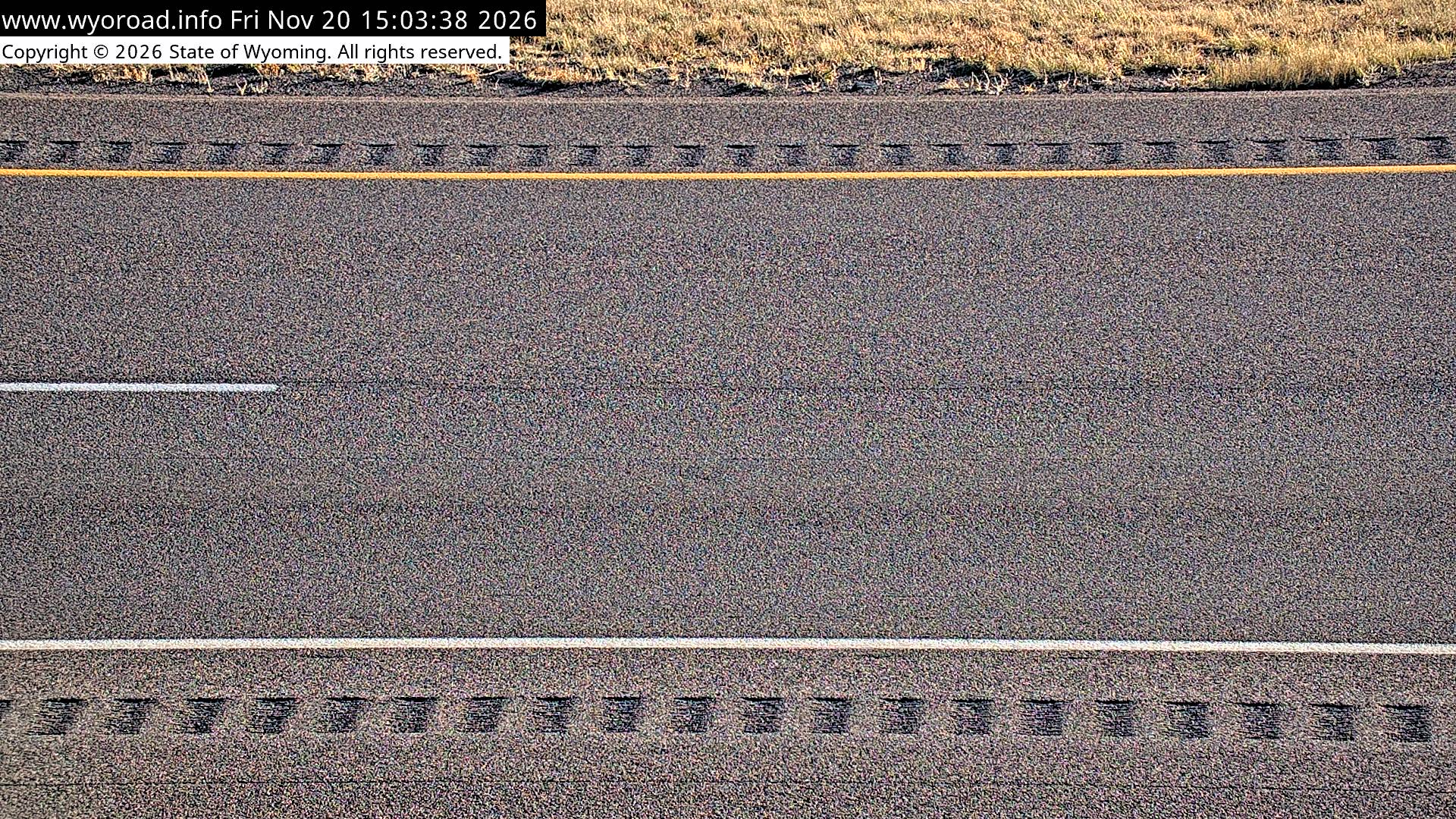
343.2
Harrimanlooking west
MM 343.24
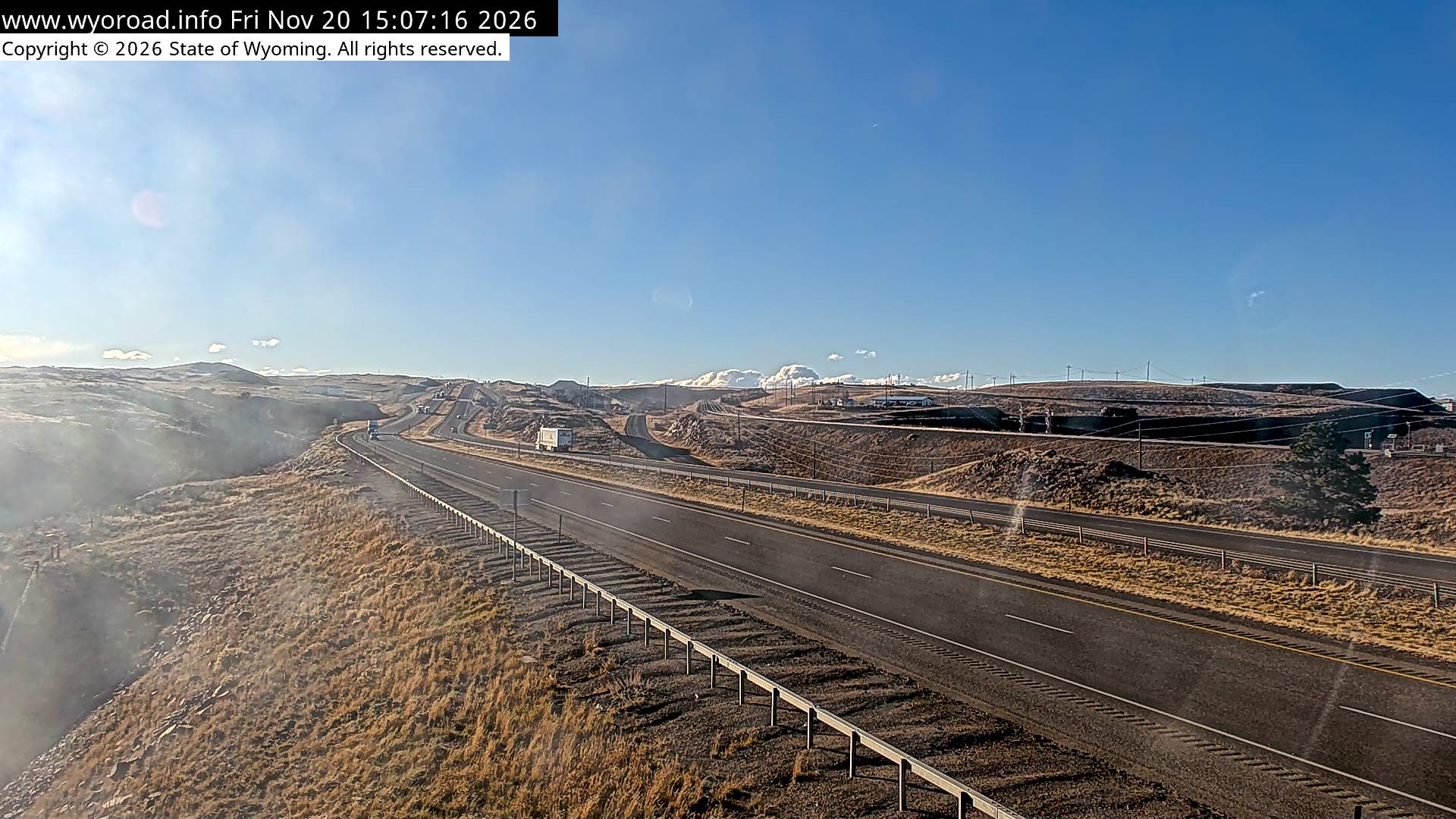
looking east
MM 343.24
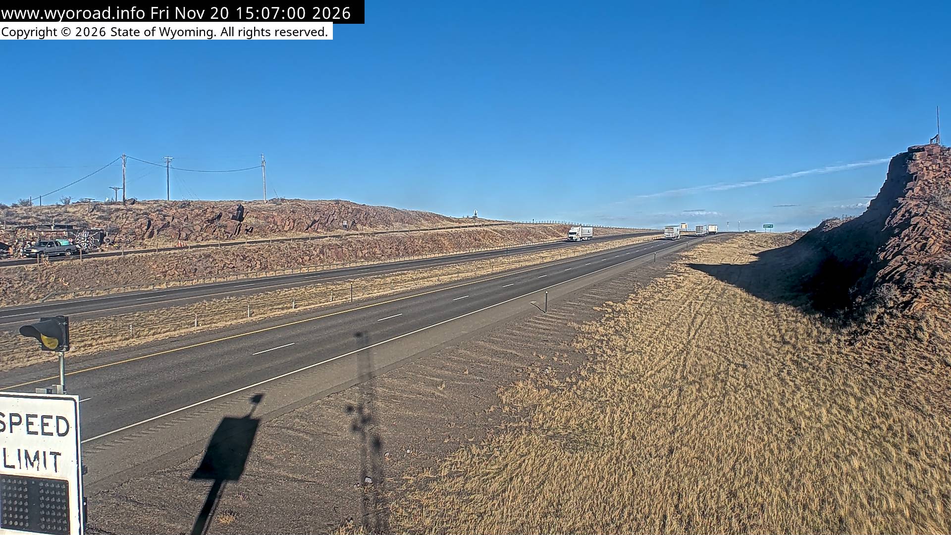
another view
MM 343.24
340.5
Remount Roadlooking west
MM 340.50
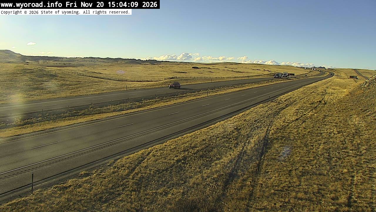
looking east
MM 340.50
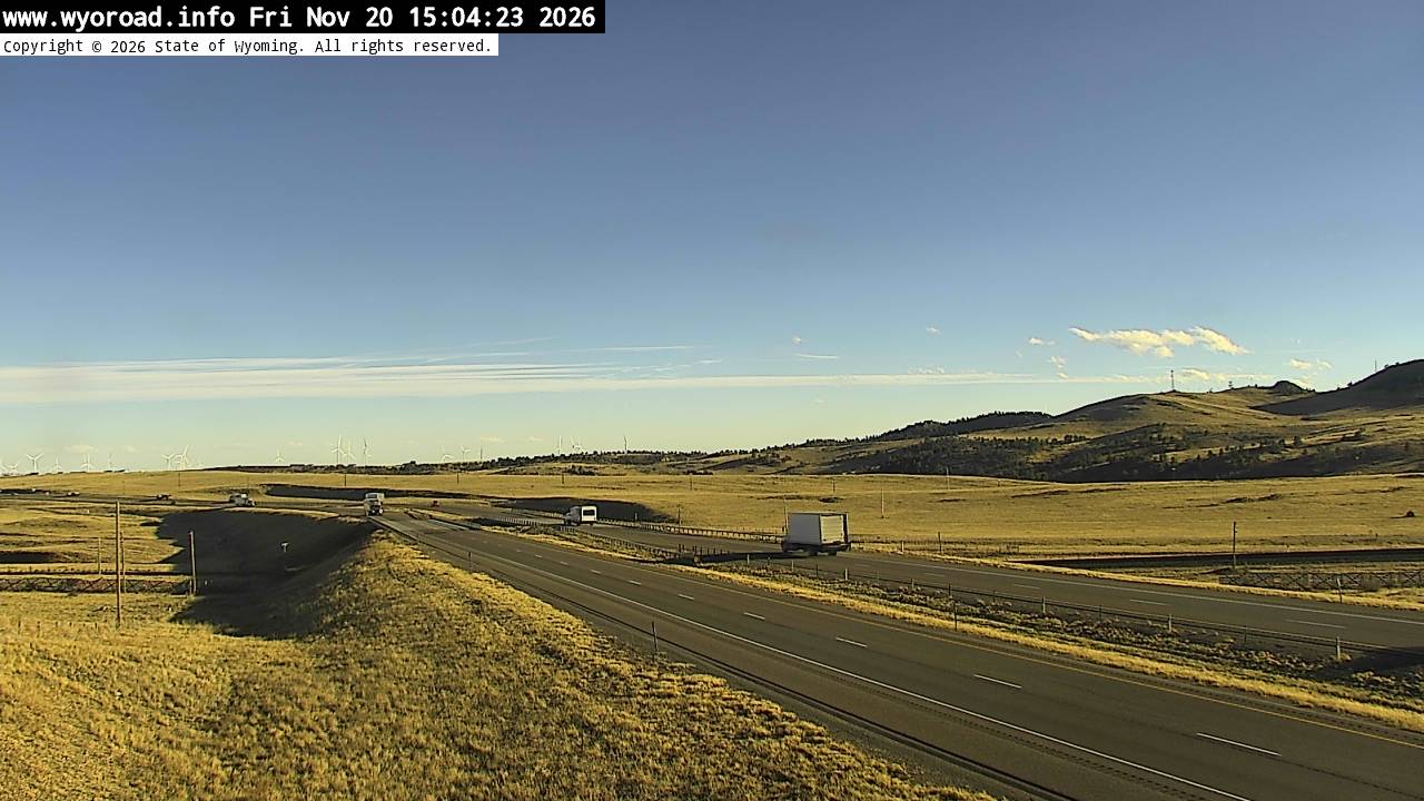
another view
MM 340.50
336.1
Buford Eastlooking west
MM 336.10
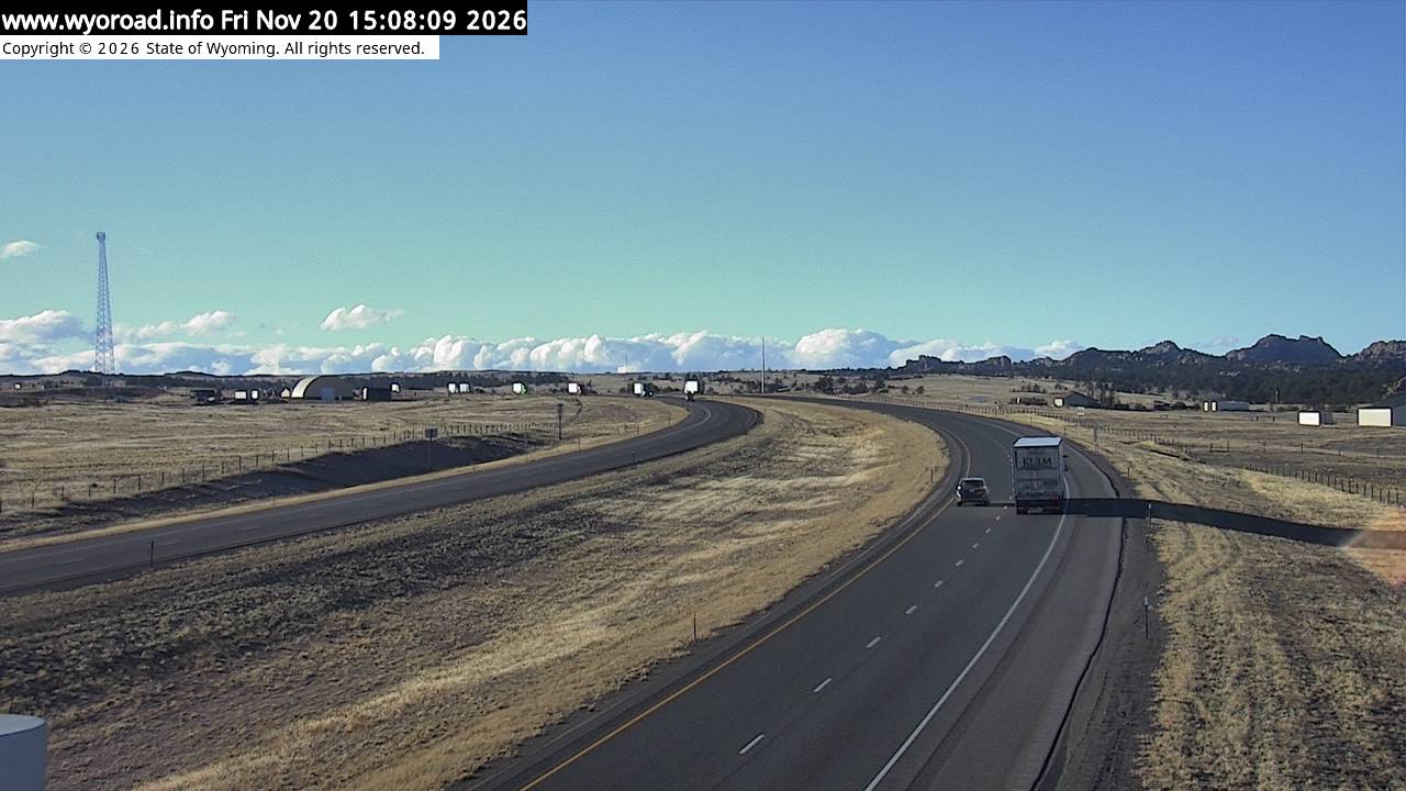
looking east
MM 336.10
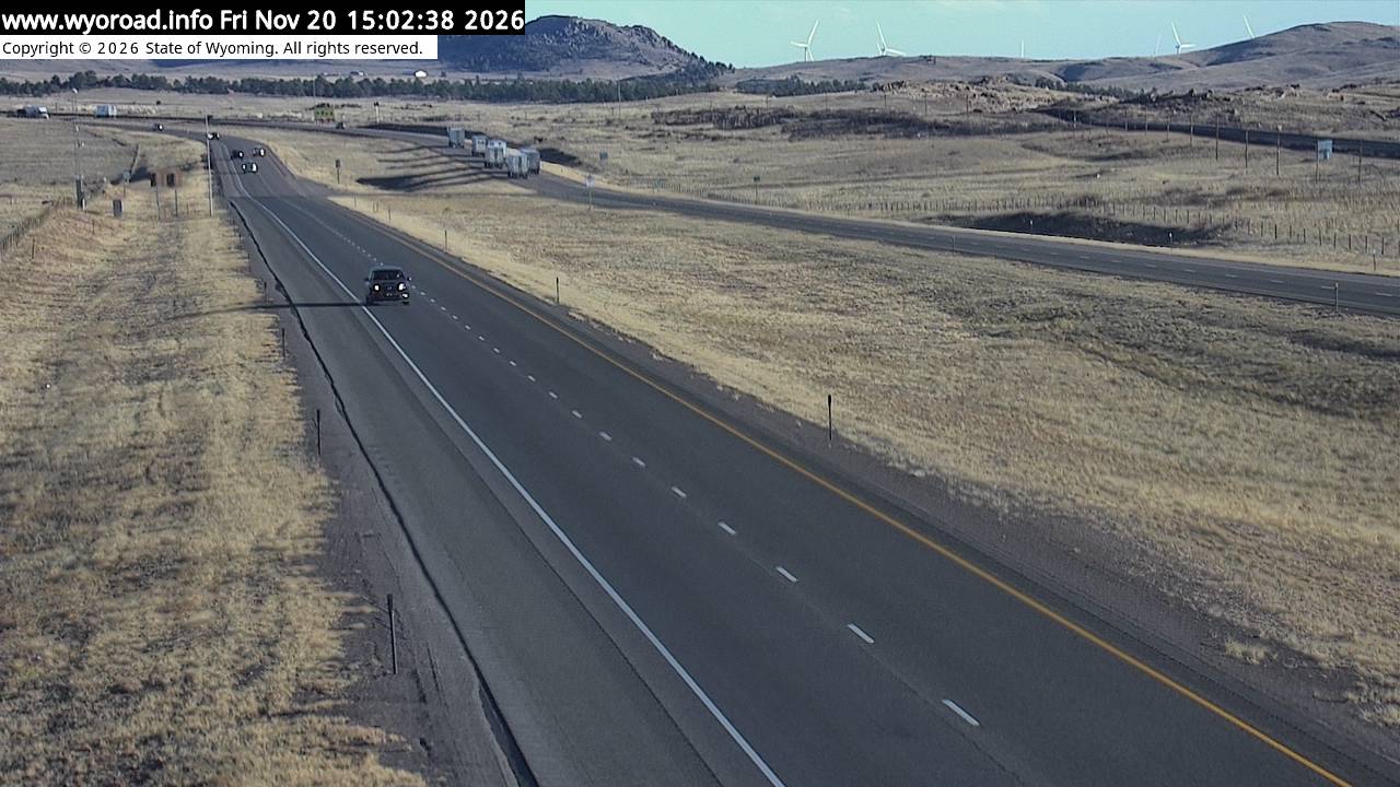
another view
MM 336.10
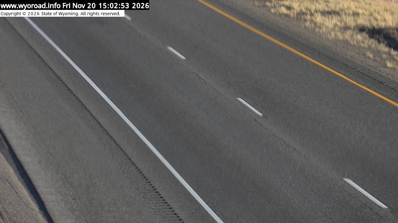
335.3
Bufordlooking west
MM 335.30
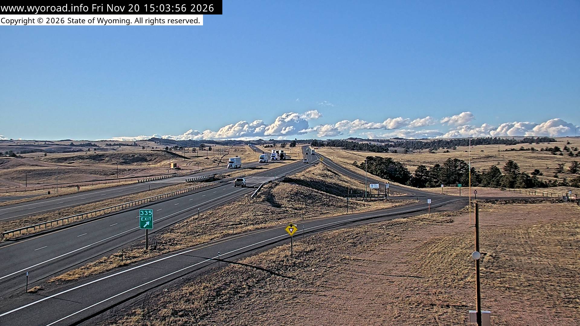
looking east
MM 335.30
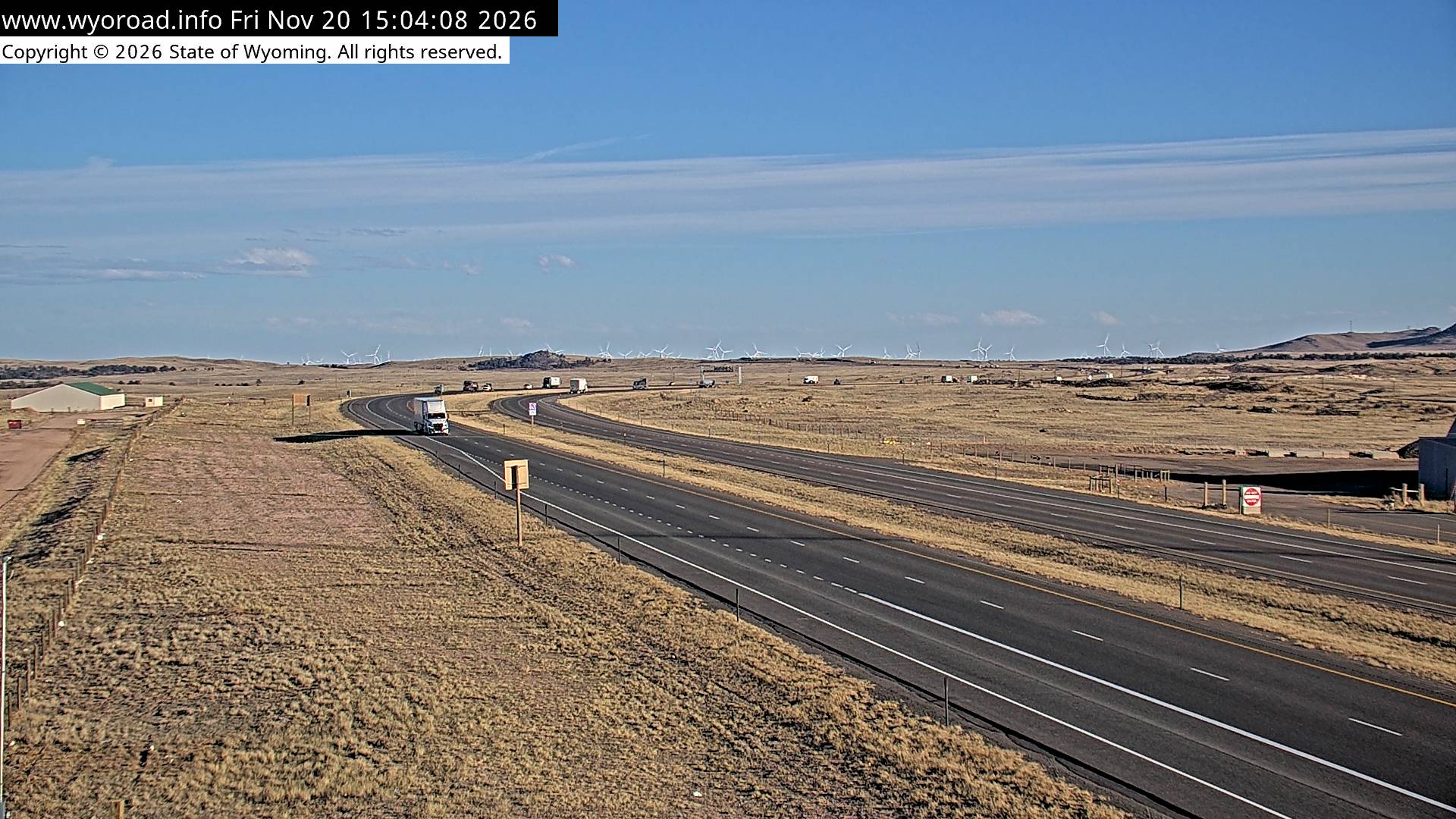
another view
MM 335.30
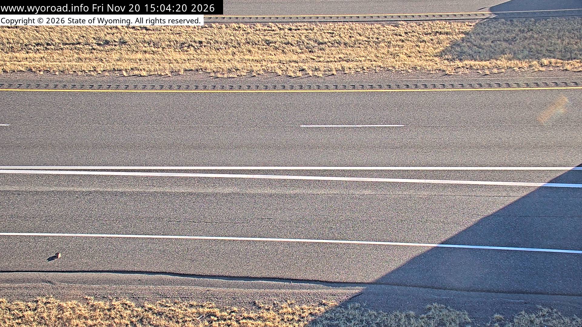
333.3
Lone Treelooking west
MM 333.32
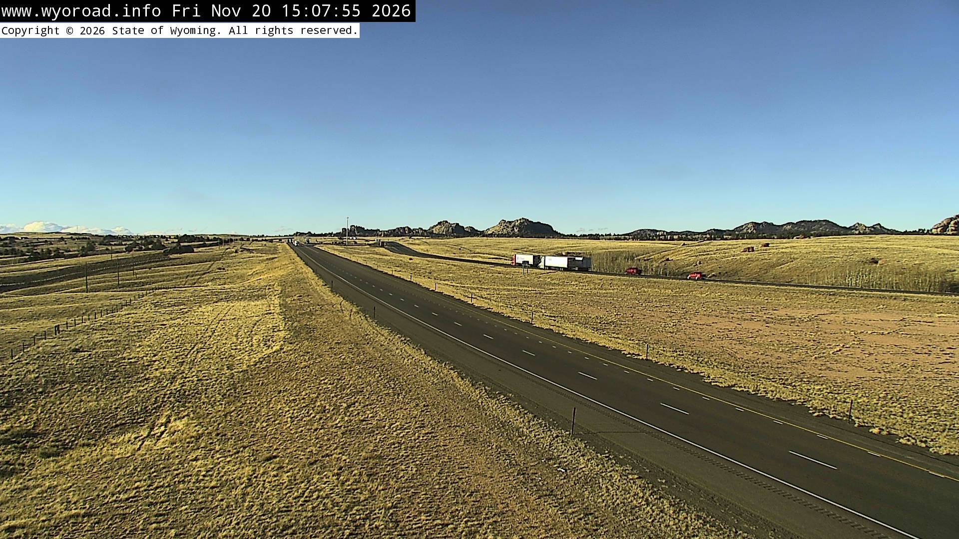
looking east
MM 333.32
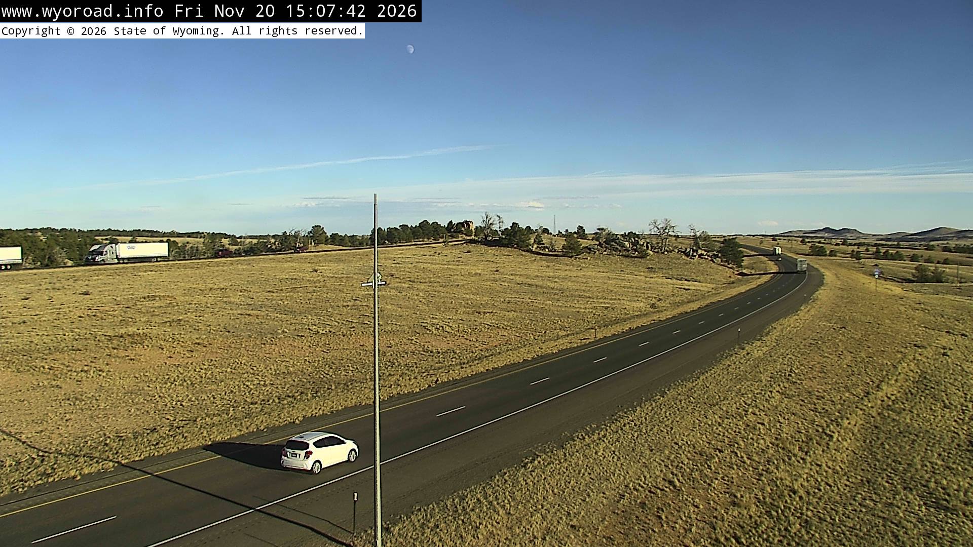
another view
MM 333.32
MM 330.70
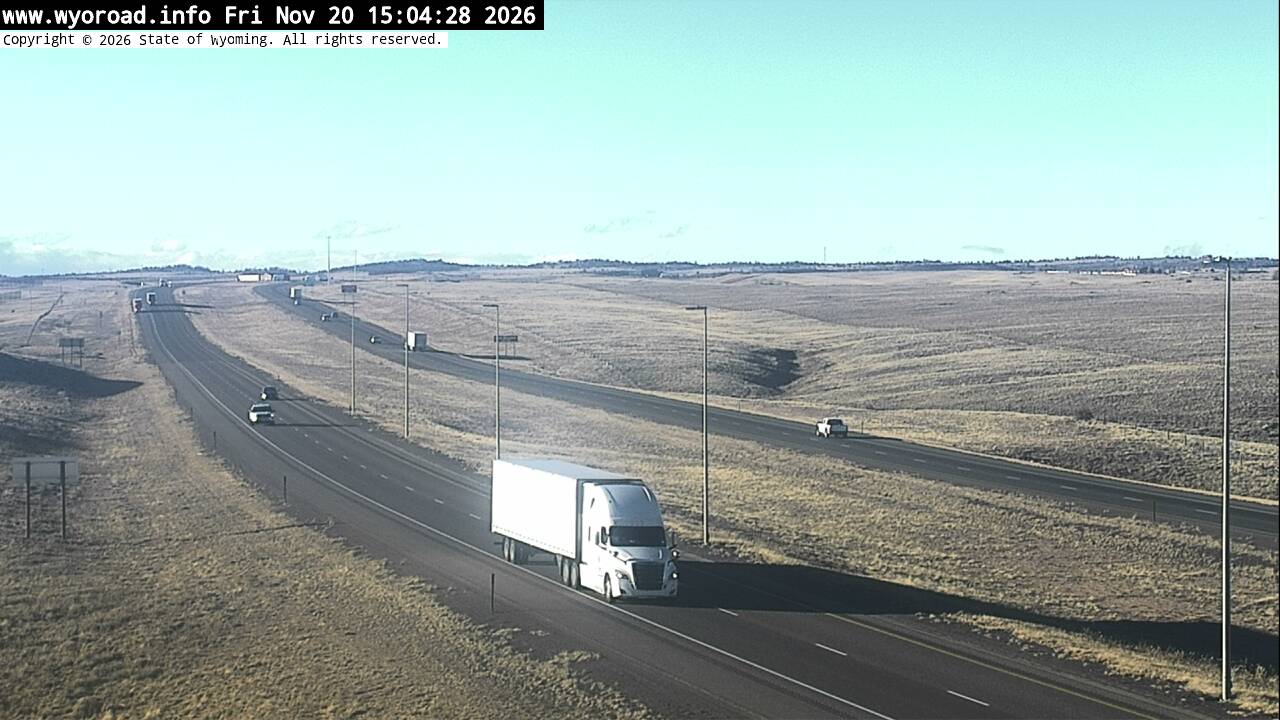
looking east
MM 330.70
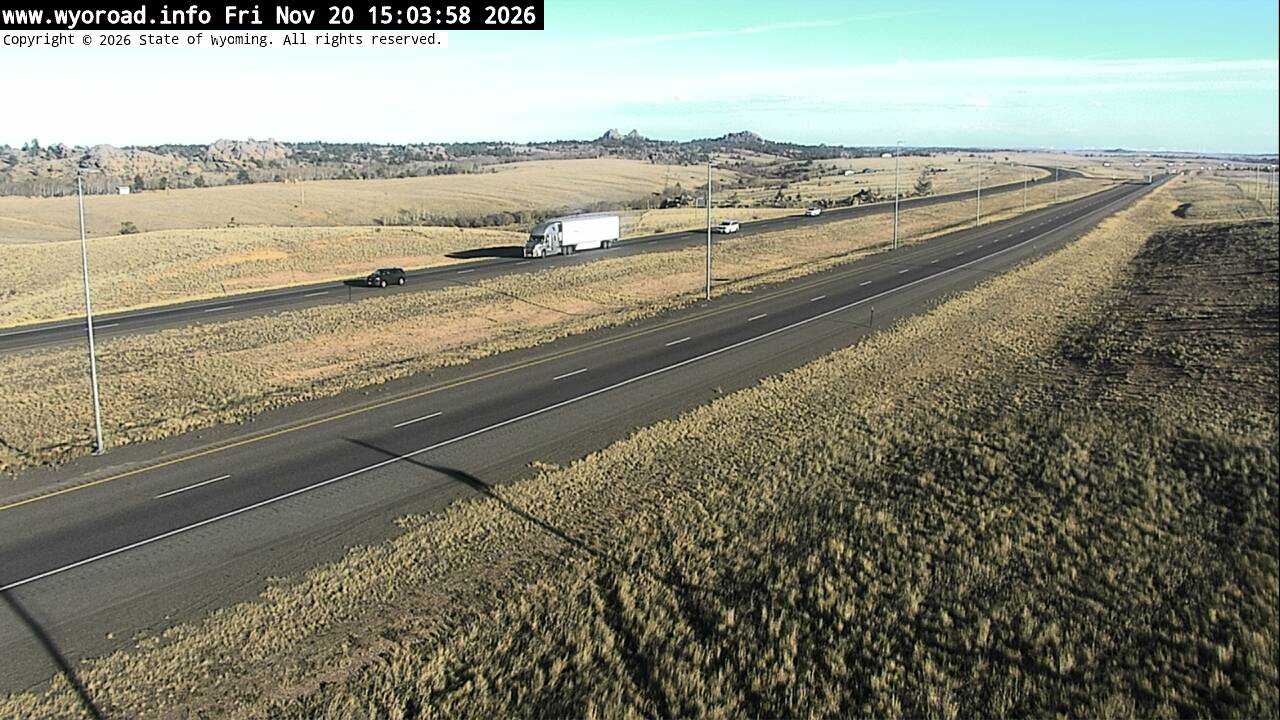
looking north
MM 330.70
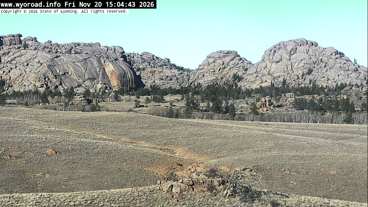
MM 329.60
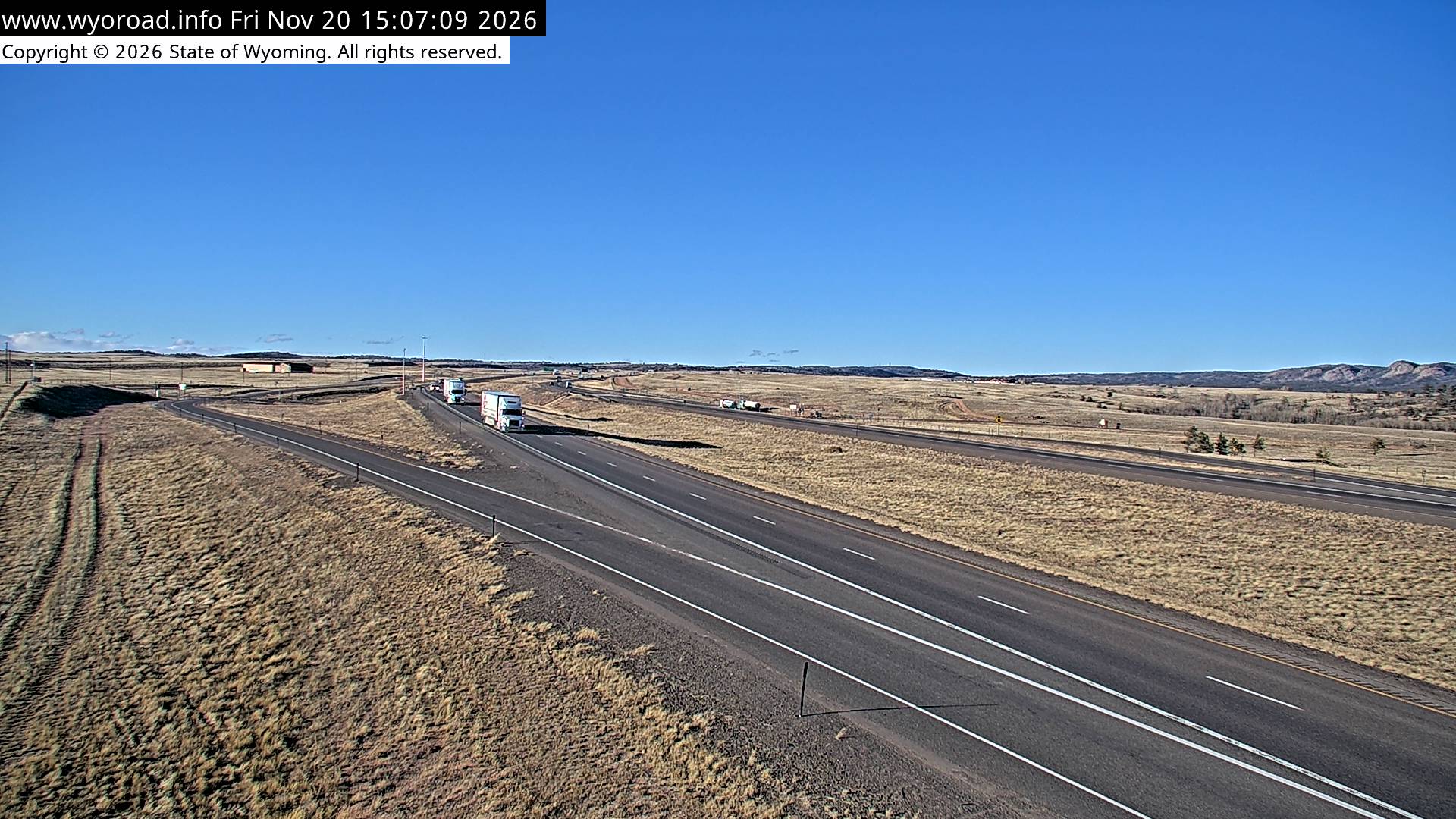
looking east
MM 329.60
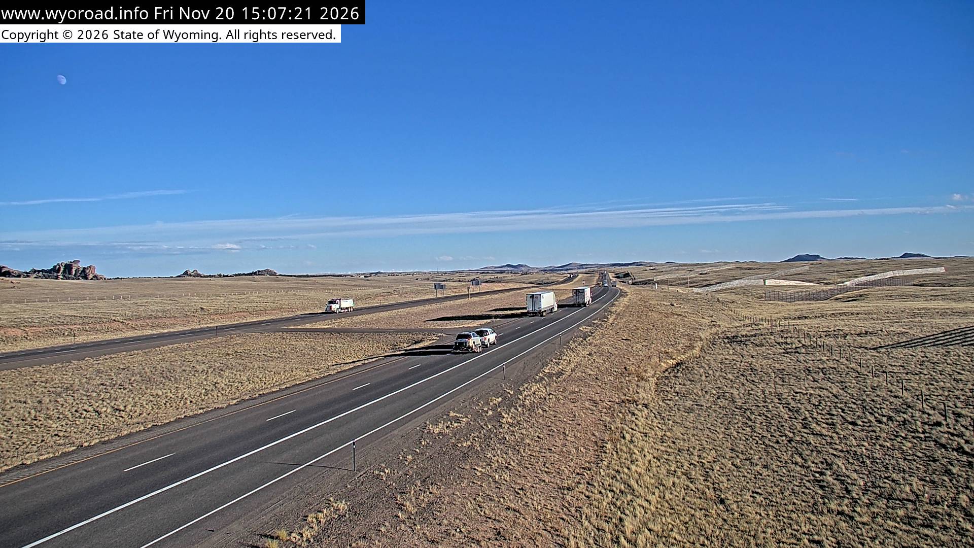
another view
MM 329.60
MM 326.90
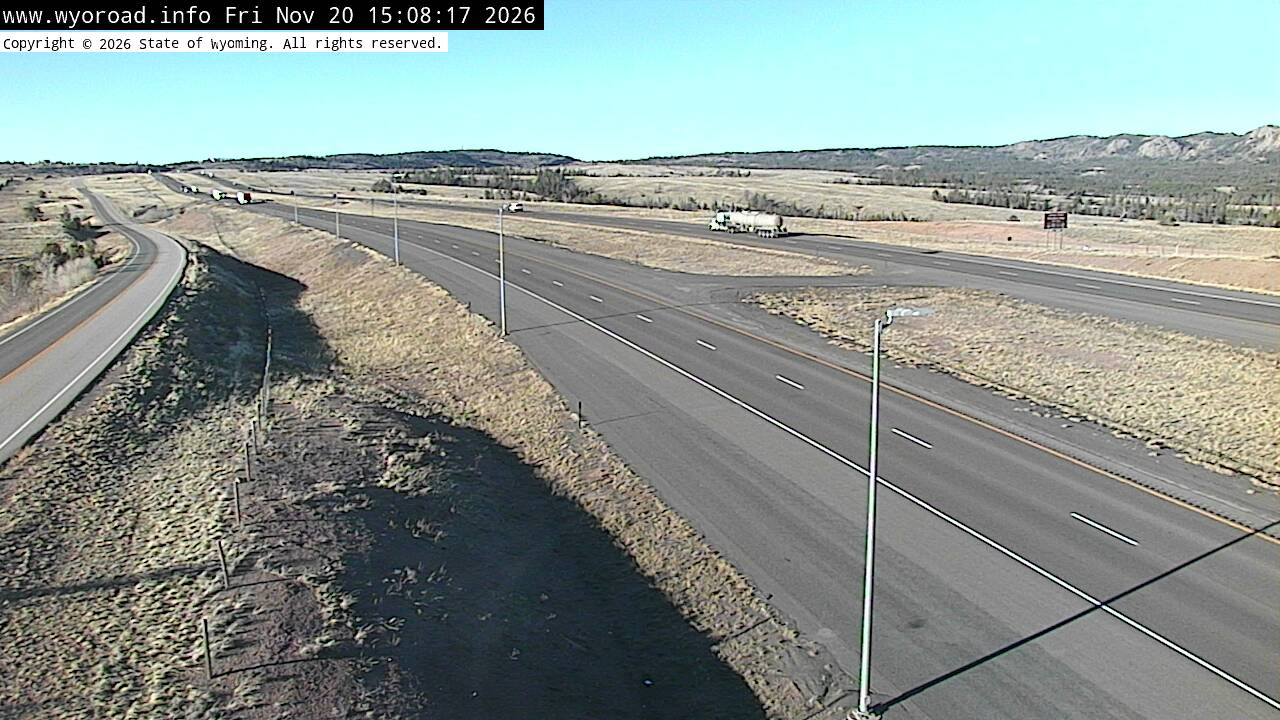
looking east
MM 326.90
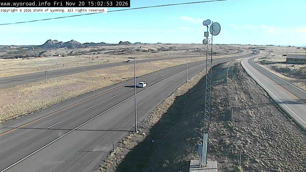
another view
MM 326.90
MM 325.80
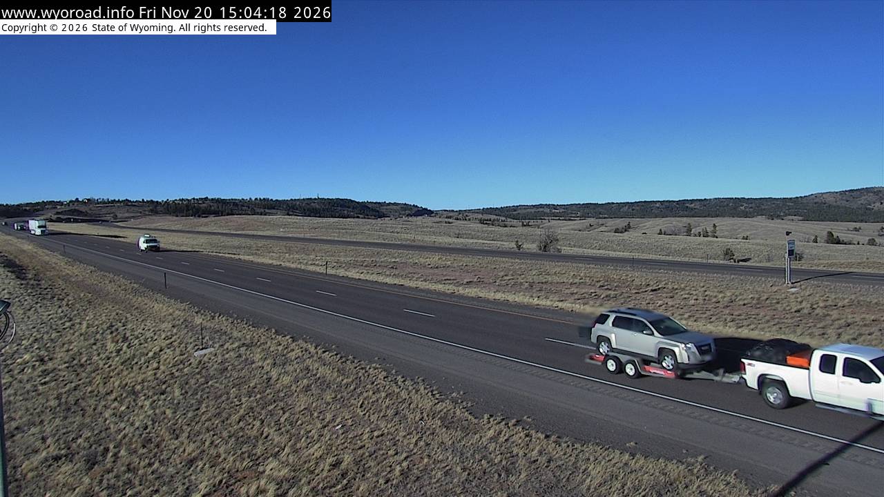
looking east
MM 325.80
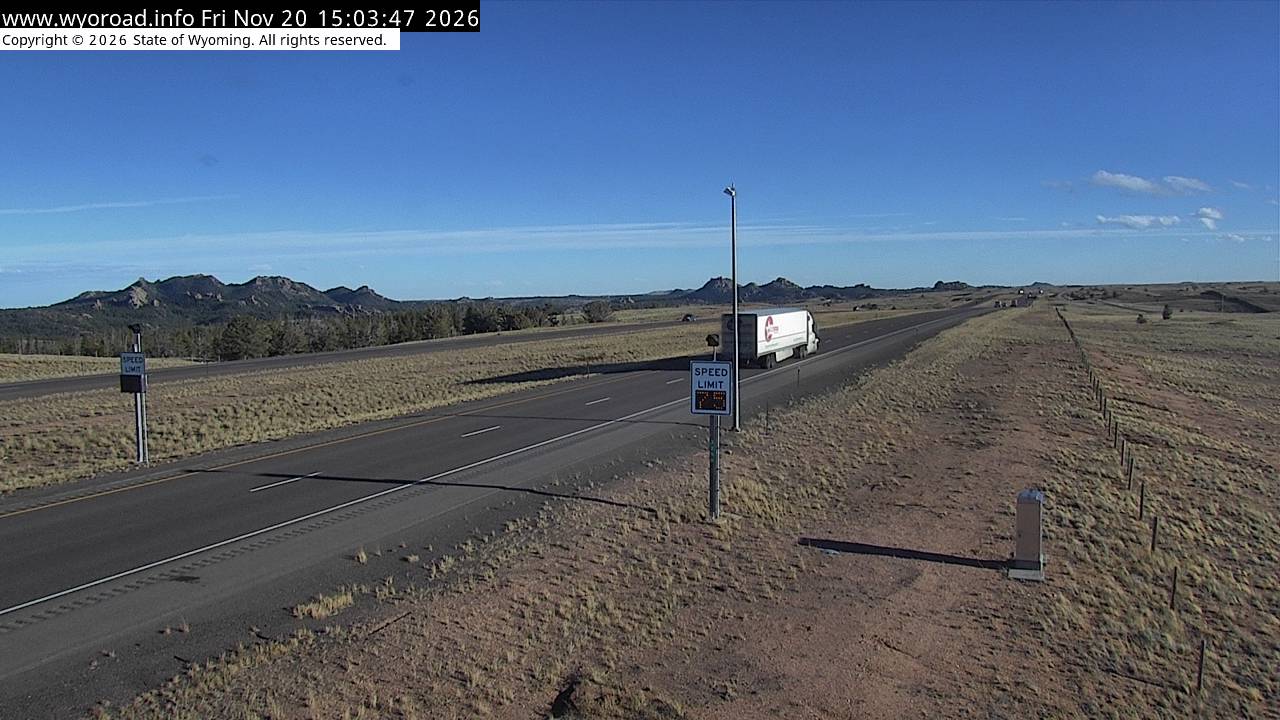
another view
MM 325.80
MM 323.00
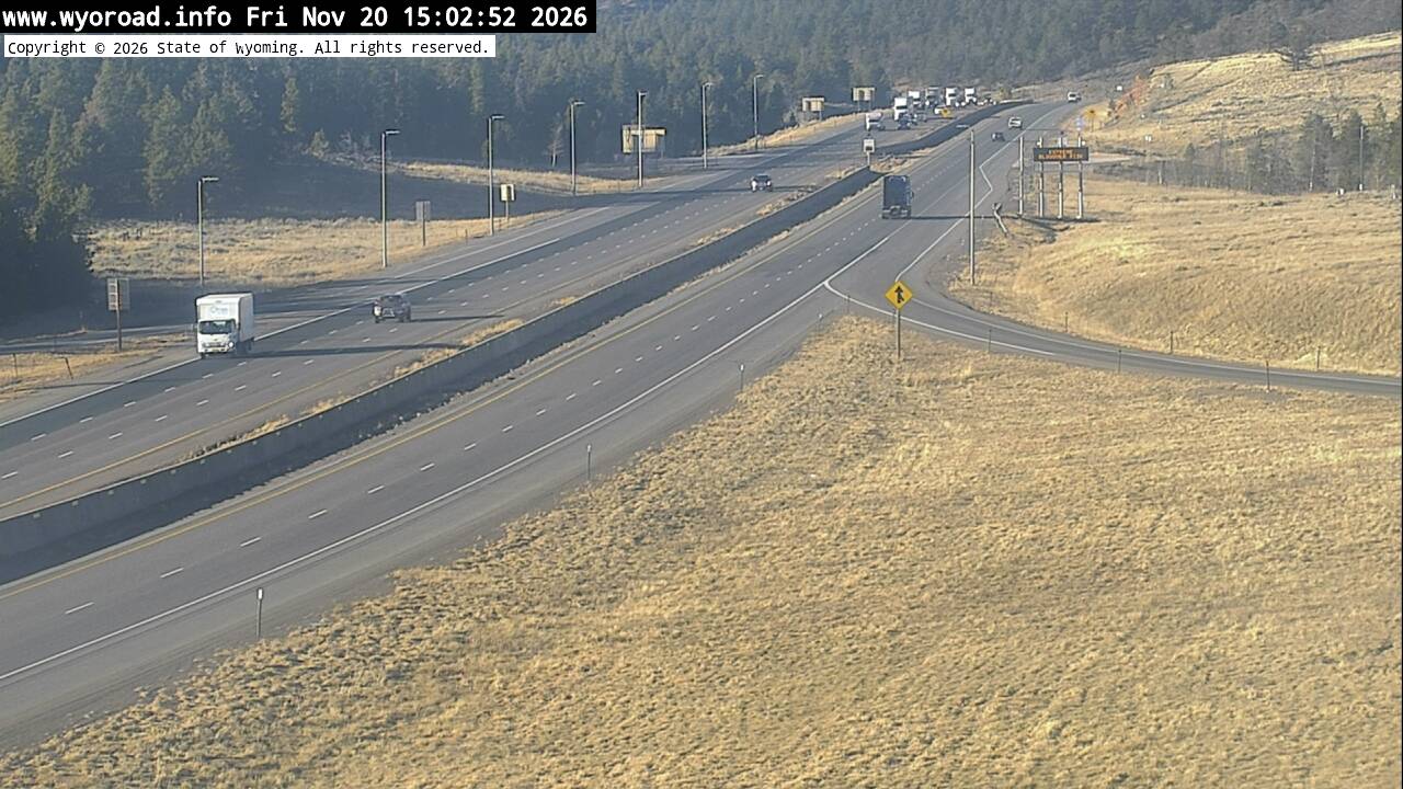
another view
MM 323.00
looking east
MM 323.00
another view
MM 323.00
MM 320.20
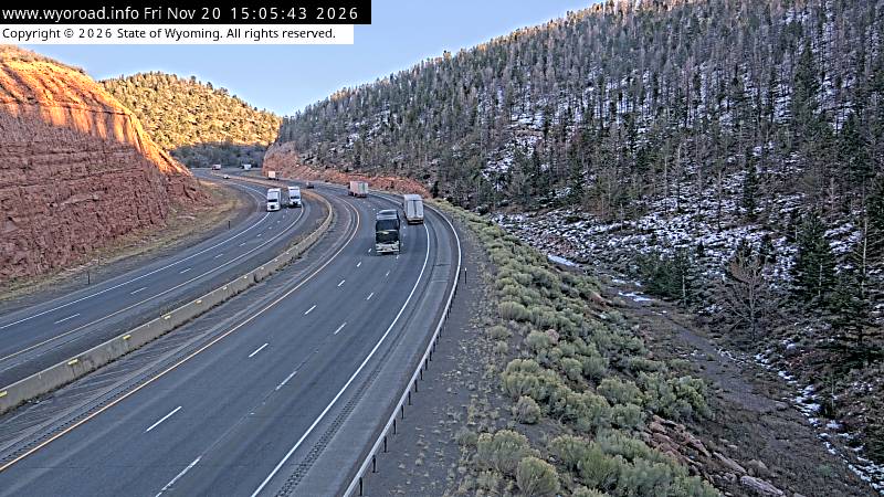
looking east
MM 320.20
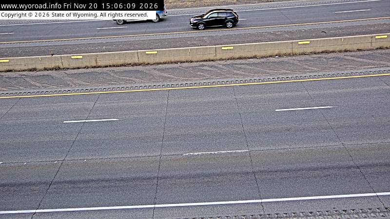
another view
MM 320.20
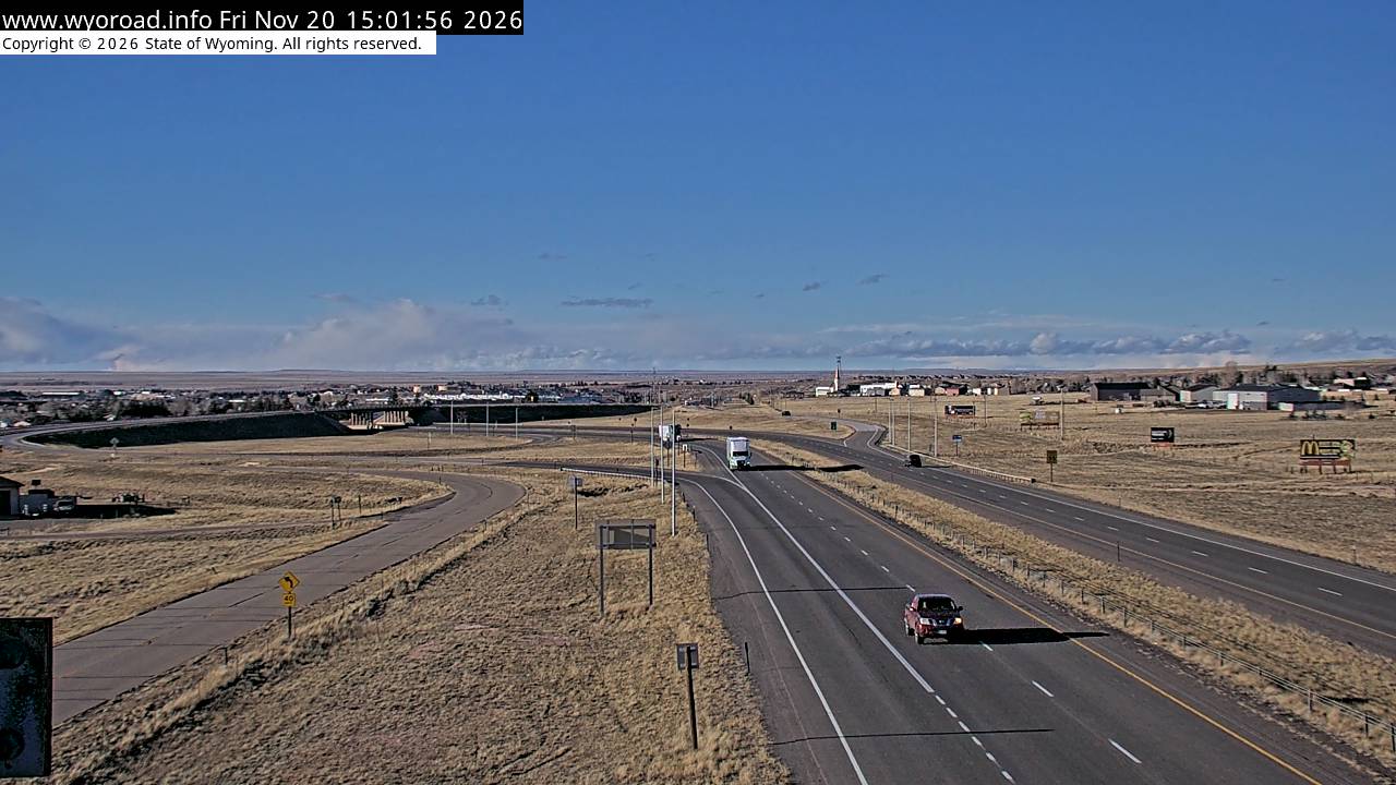
317.2
Laramie Eastlooking west
MM 317.20
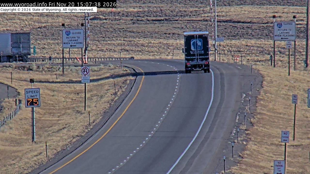
another view
MM 317.20
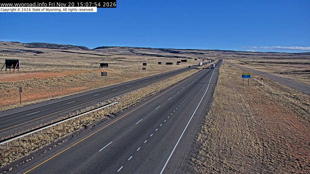
looking east
MM 317.20
another view
MM 317.20
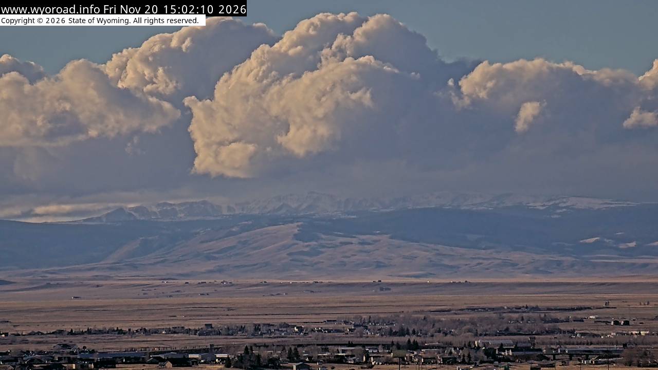
another view
MM 317.20
- ⋮ 6 mi
311.1
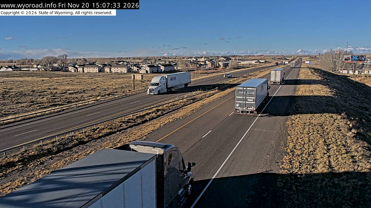
Laramie Westlooking north
MM 311.10
another view
MM 311.10
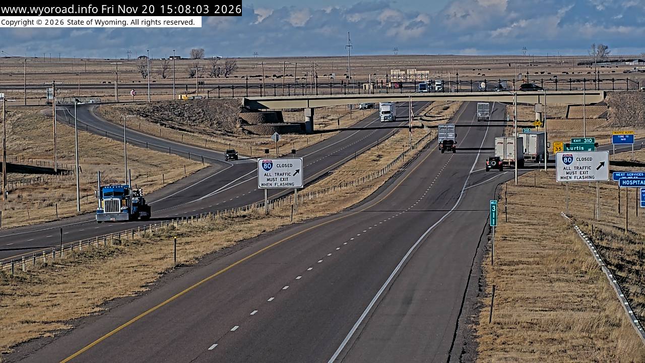
looking south
MM 311.10
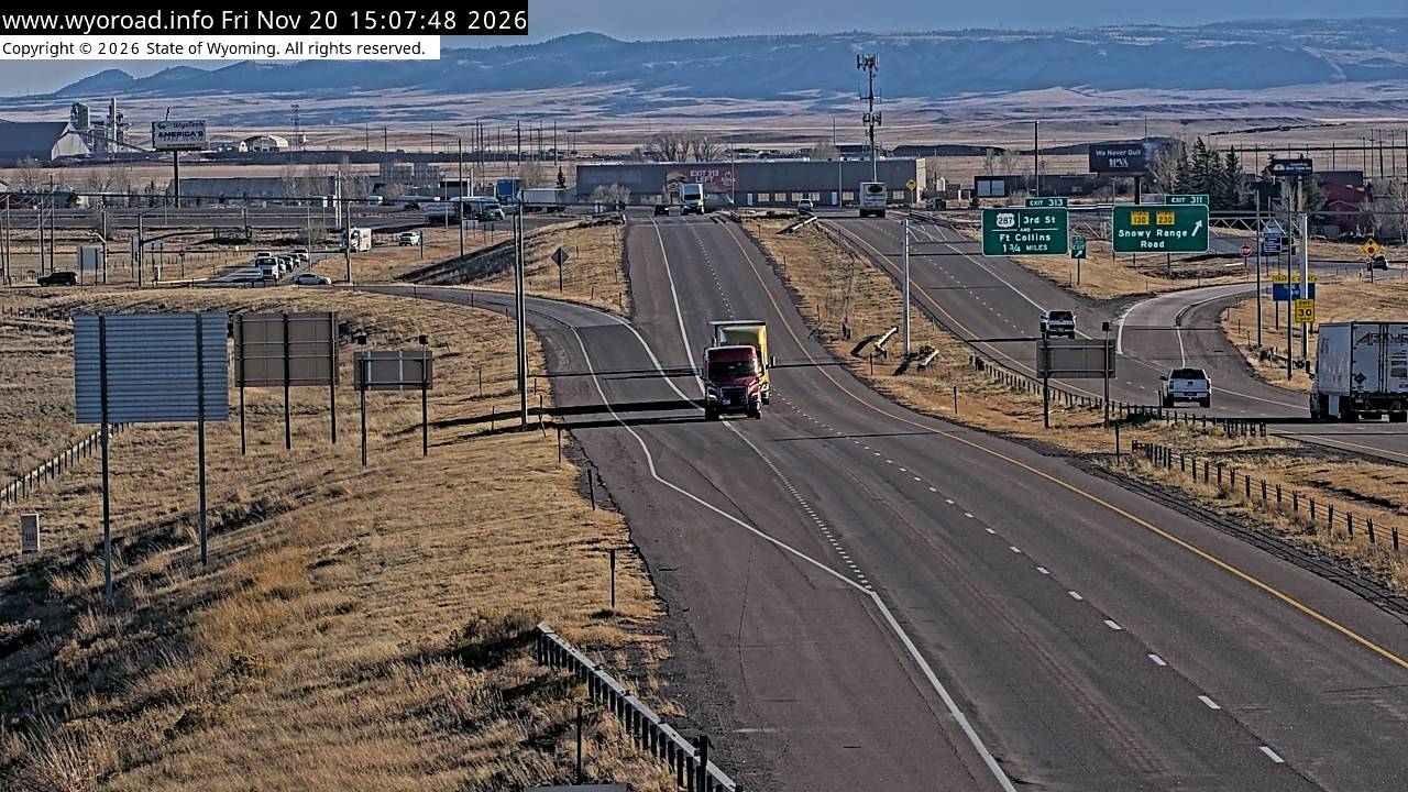
another view
MM 311.10
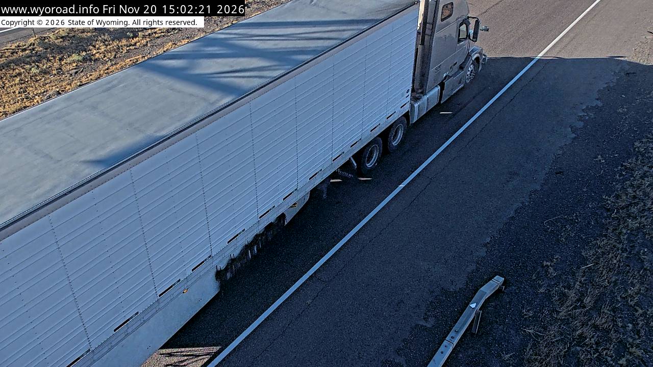
- ⋮ 13 mi
297.7
Herrick Lanelooking west
MM 297.66
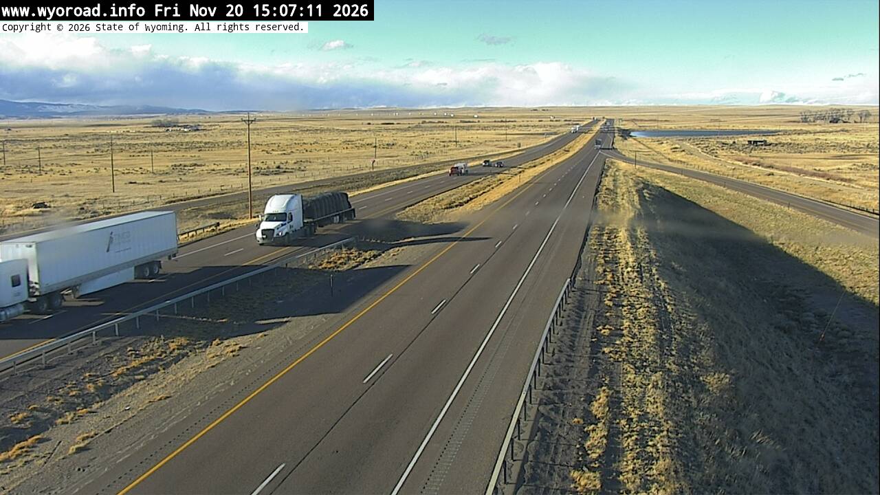
looking east
MM 297.66
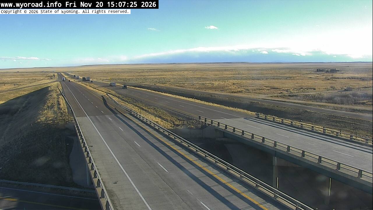
another view
MM 297.66
- ⋮ 8 mi
289.5
Quealy Domelooking west
MM 289.50
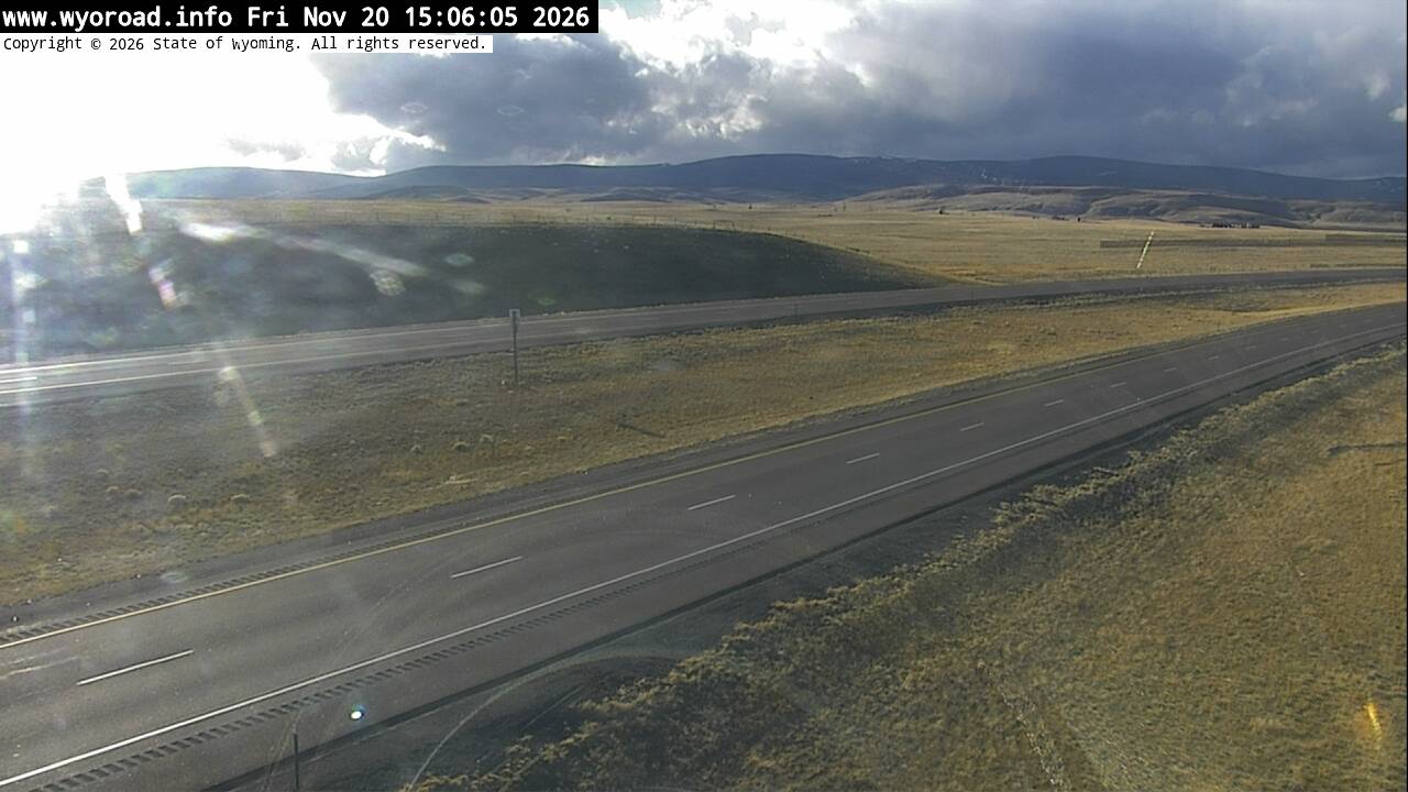
looking east
MM 289.50
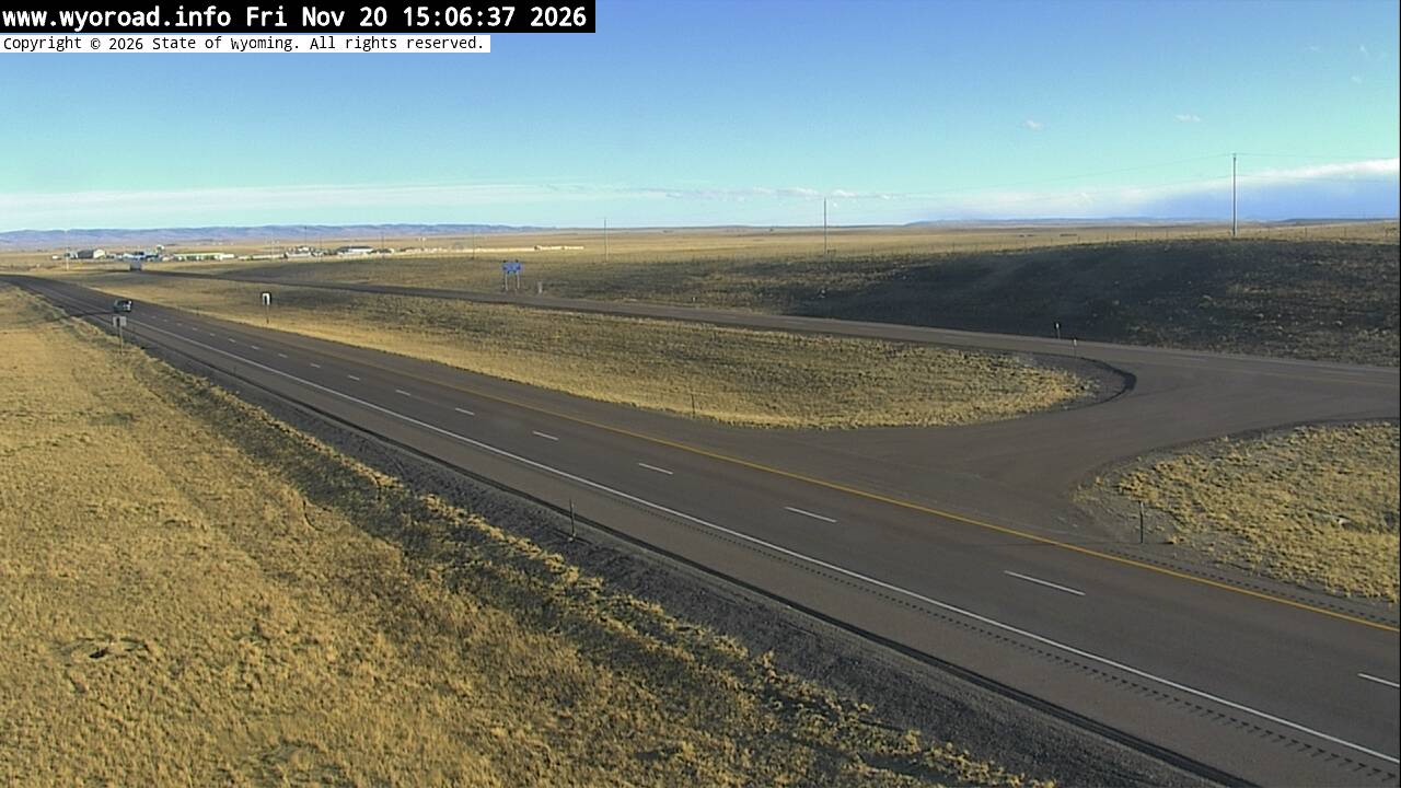
another view
MM 289.50
- ⋮ 6 mi
283.8
Strouss Hilllooking west
MM 283.75
looking east
MM 283.75
another view
MM 283.75
280.4
Cooper Cove Eastlooking west
MM 280.36
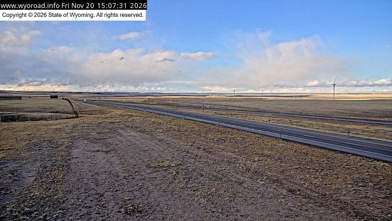
looking east
MM 280.36
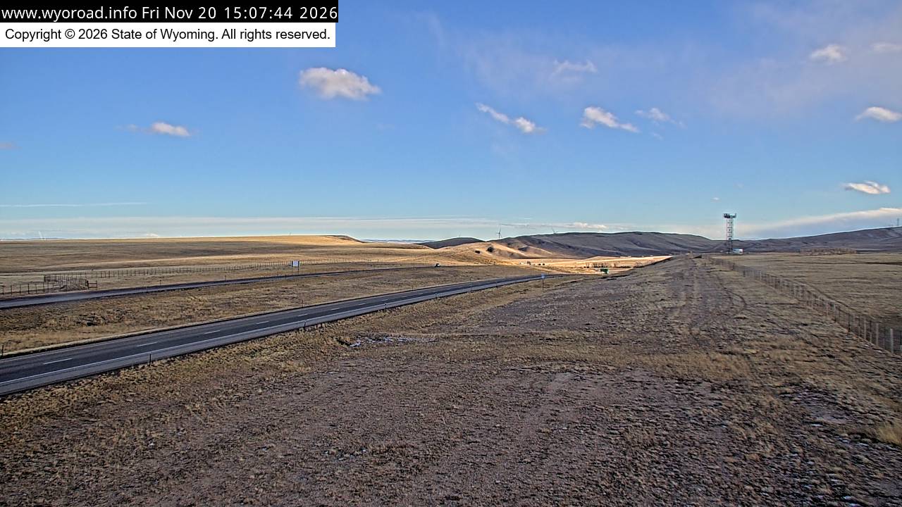
another view
MM 280.36
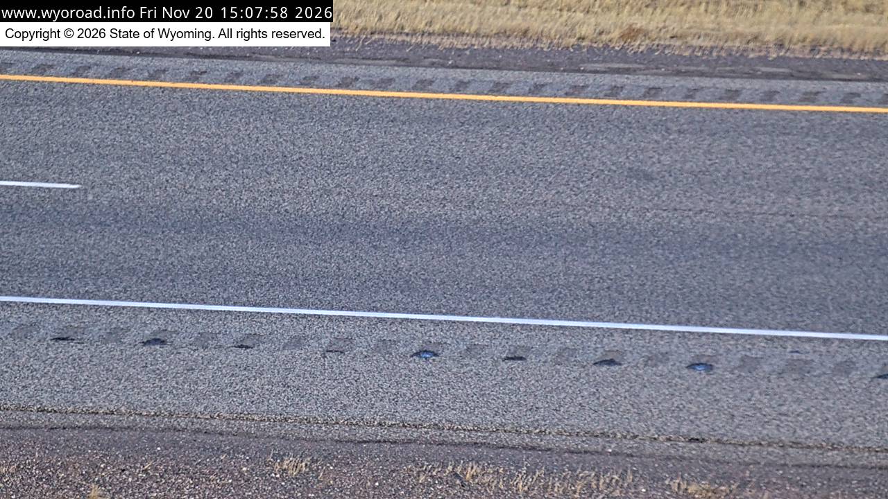
279.4
Cooper Covelooking west
MM 279.36
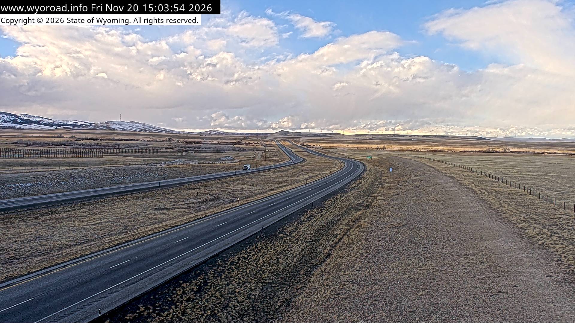
looking east
MM 279.36
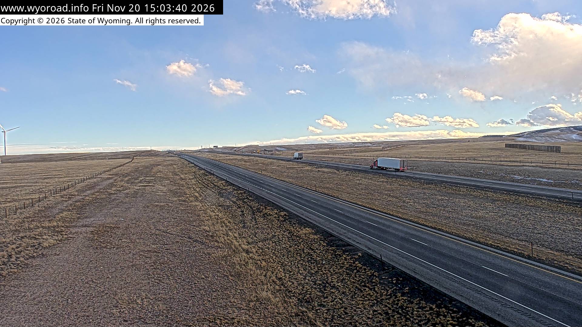
another view
MM 279.36

- ⋮ 6 mi
273.9
Arlington Eastlooking west
MM 273.85
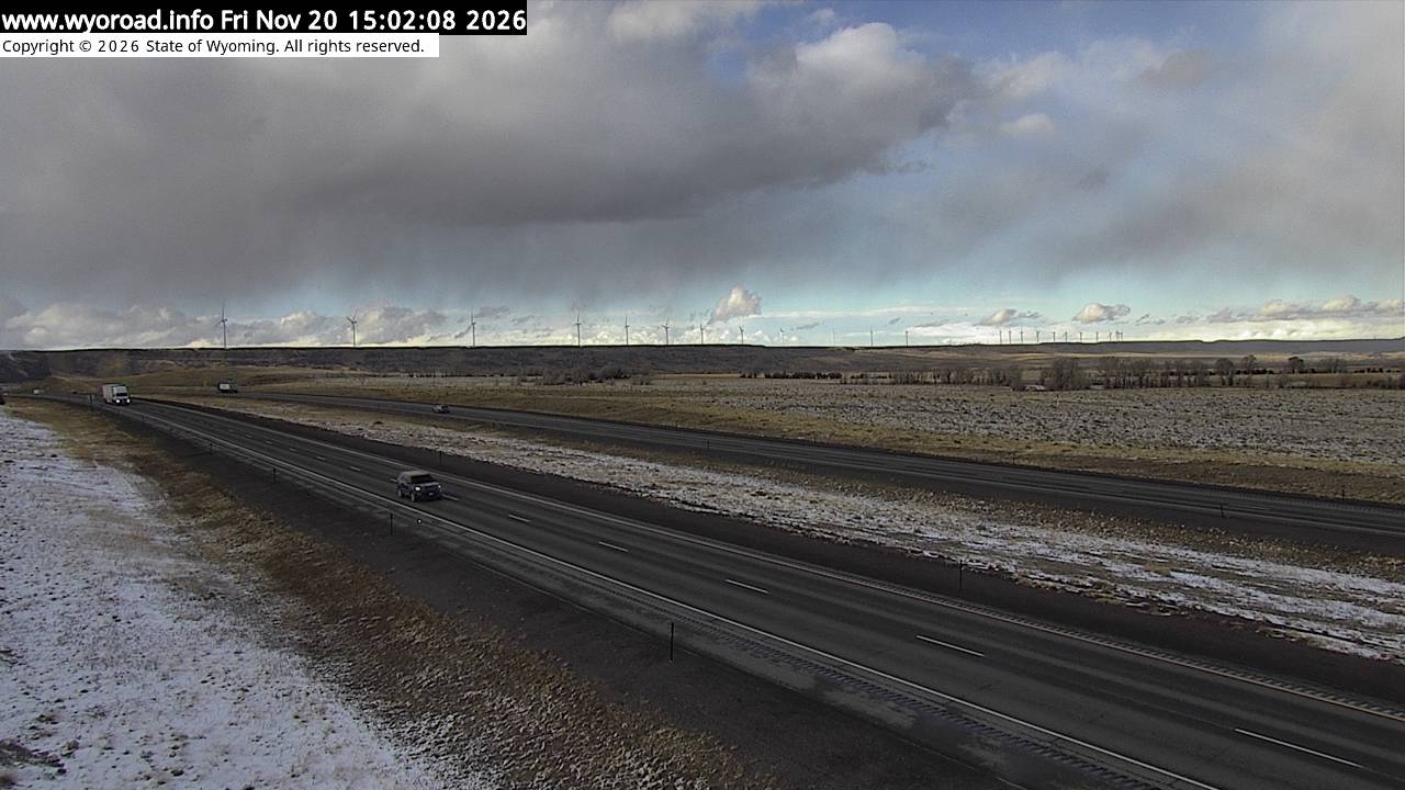
looking east
MM 273.85
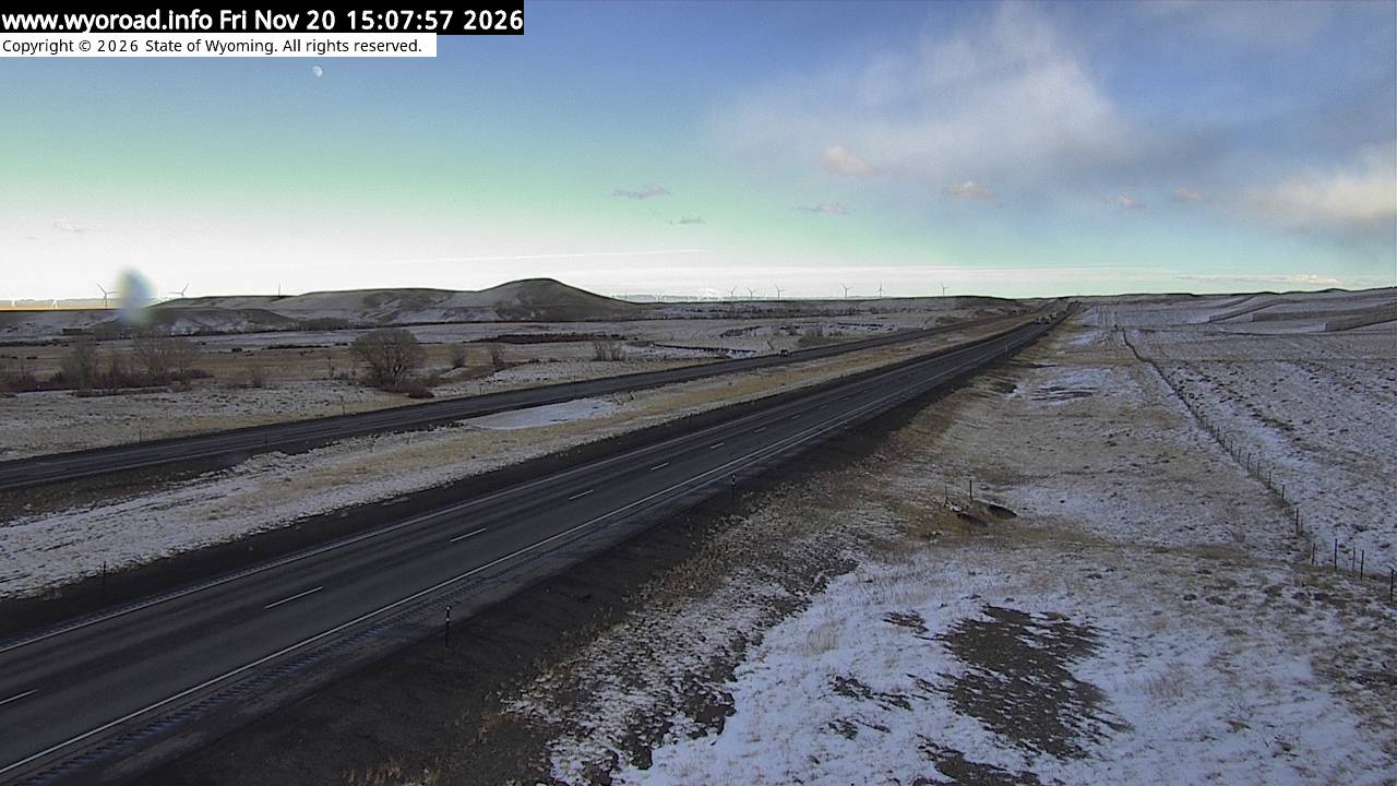
another view
MM 273.85
another view
MM 273.85
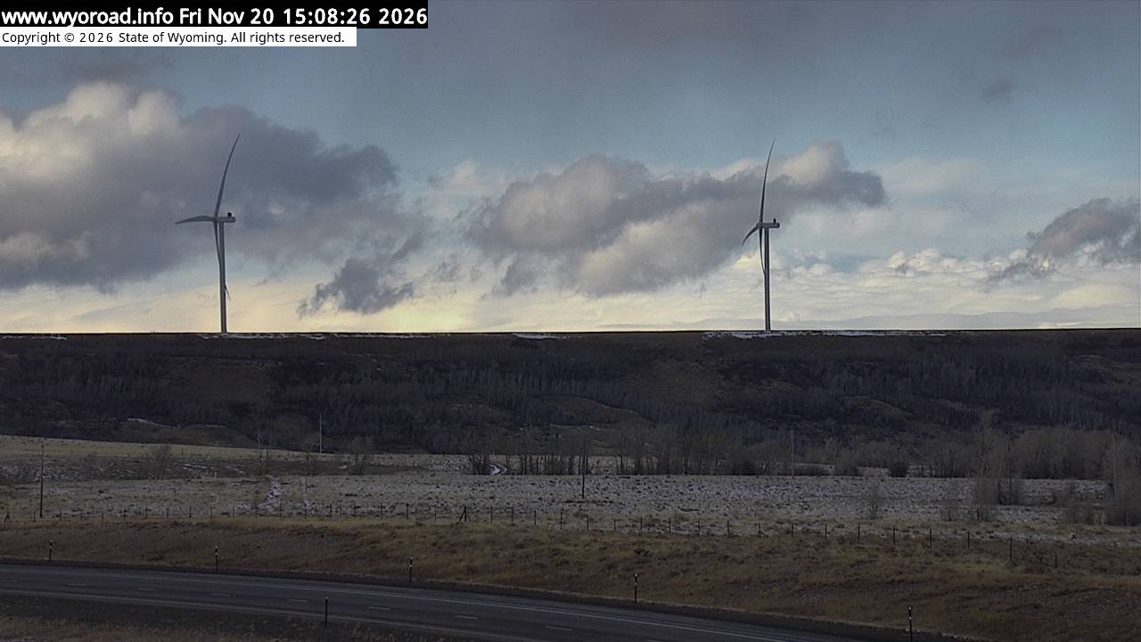
271.8
Arlingtonlooking west
MM 271.80
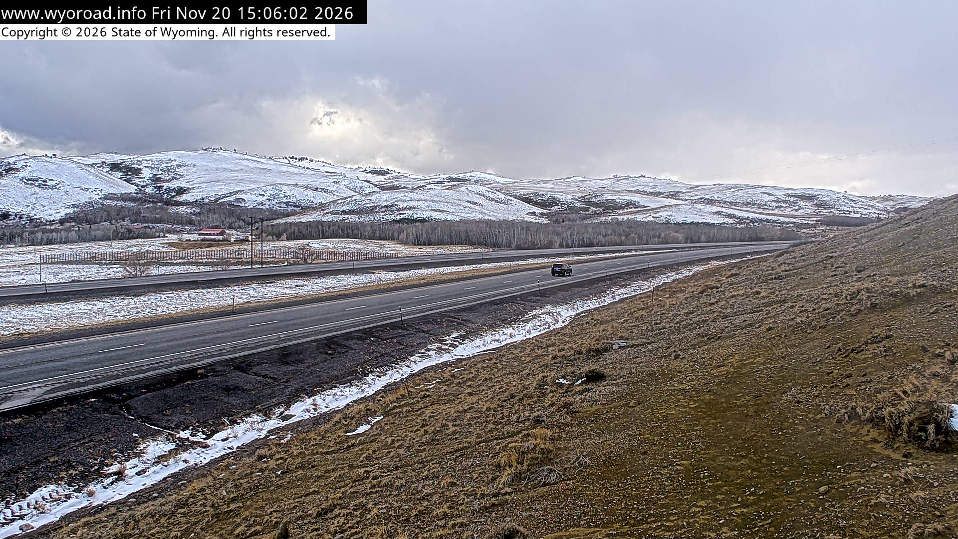
looking east
MM 271.80
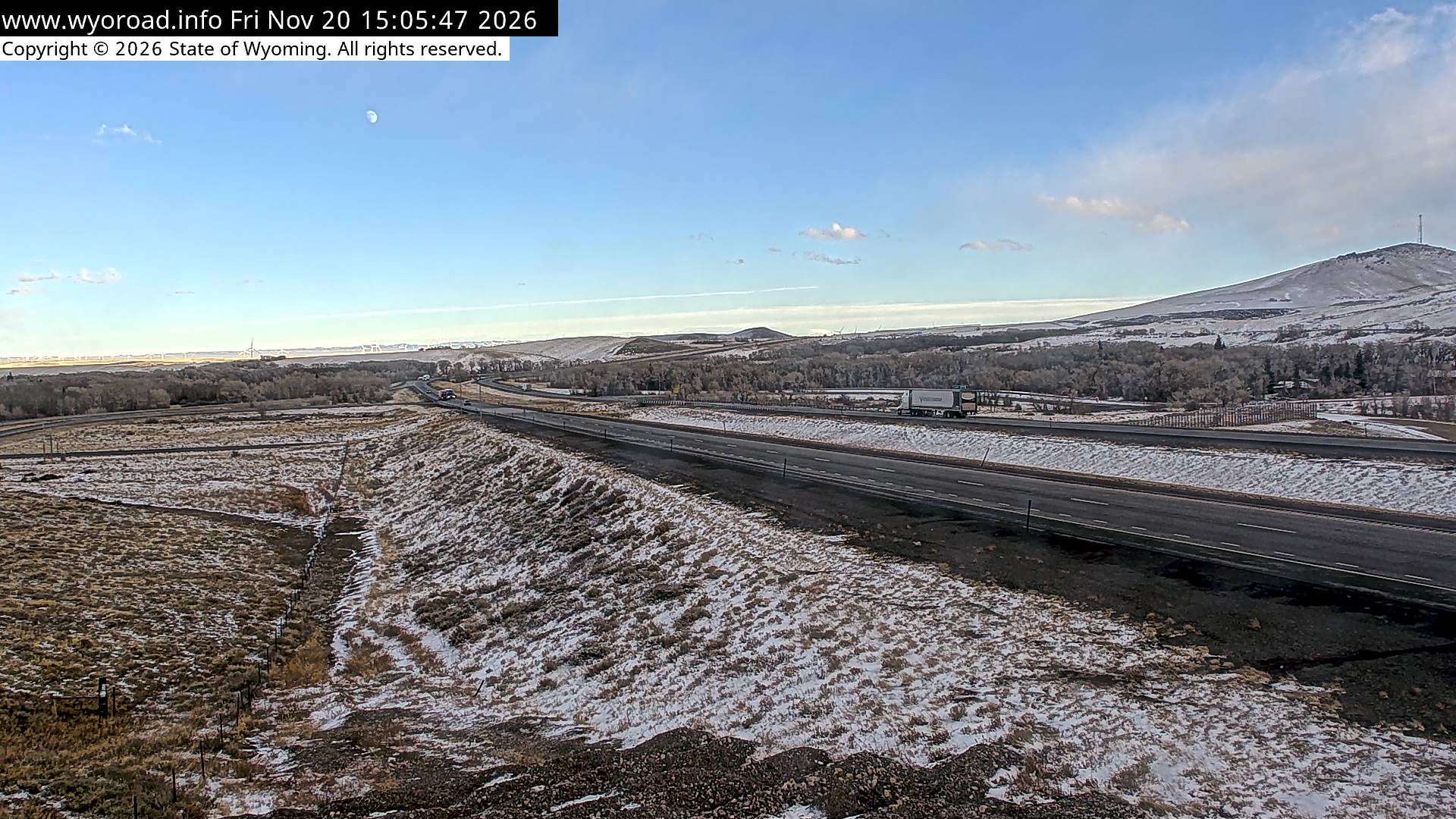
another view
MM 271.80
266.6
Wagonhoundlooking west
MM 266.58
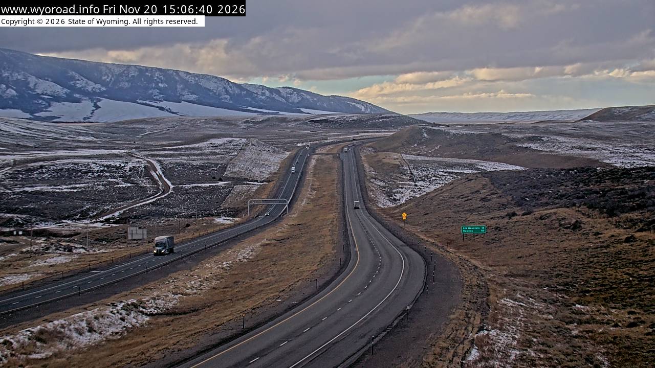
looking east
MM 266.58
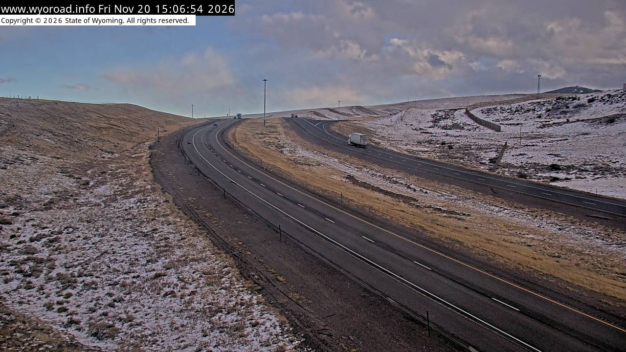
another view
MM 266.58
another view
MM 266.58
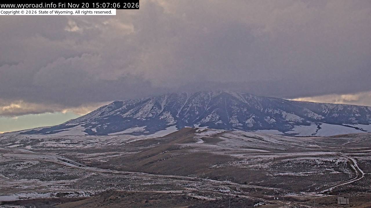
262.0
County Road 402looking west
MM 262.00
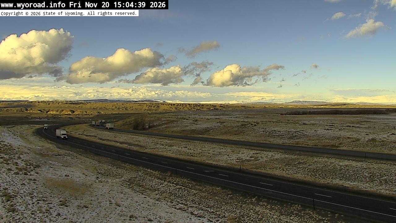
looking east
MM 262.00
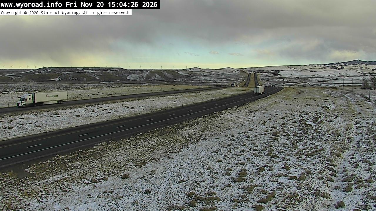
another view
MM 262.00
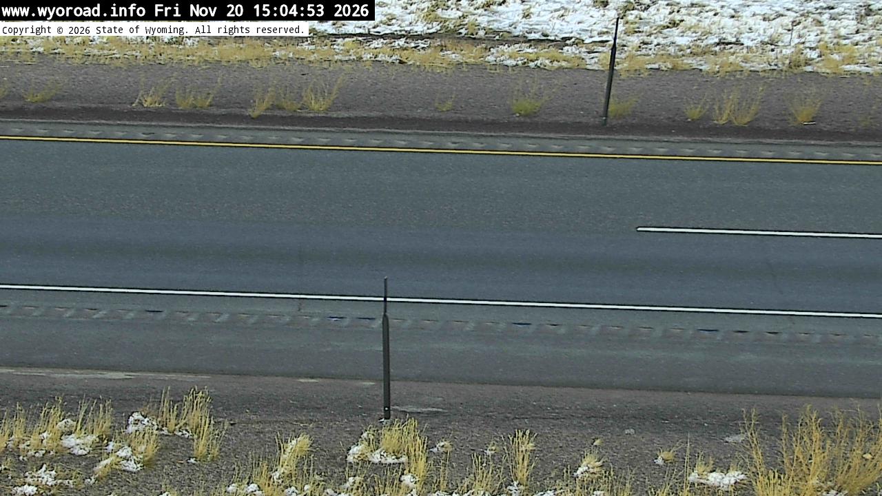
- ⋮ 6 mi
255.6
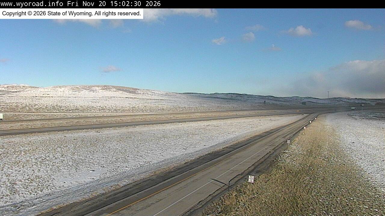
Elk Mountainlooking west
MM 255.60
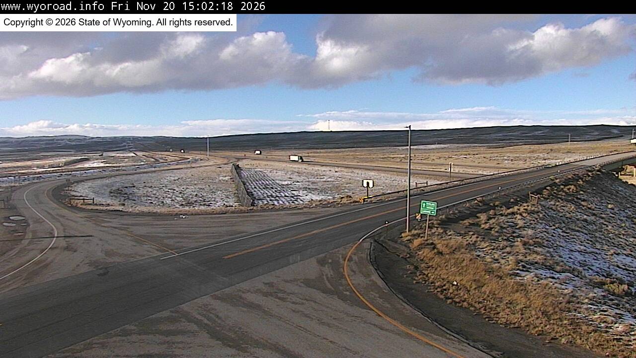
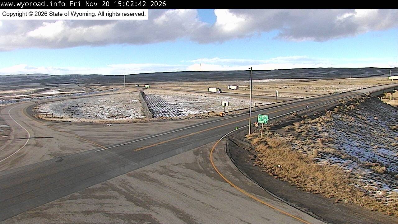
looking east
MM 255.60
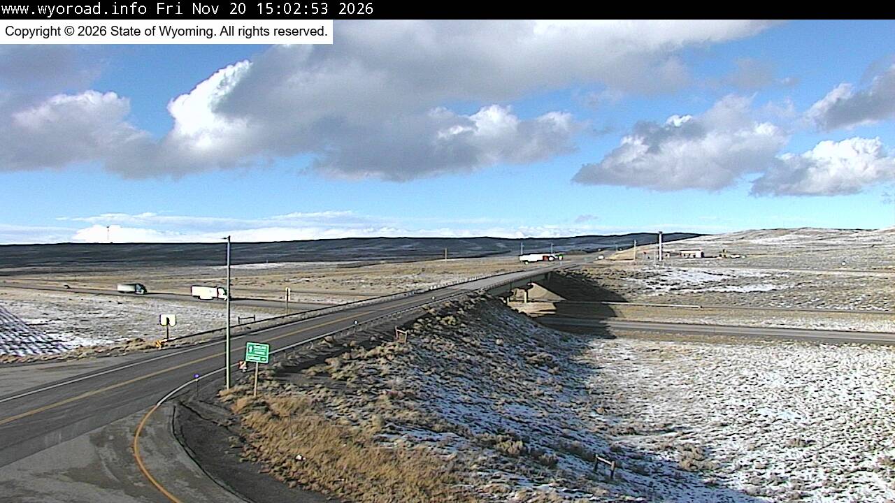
another view
MM 255.60
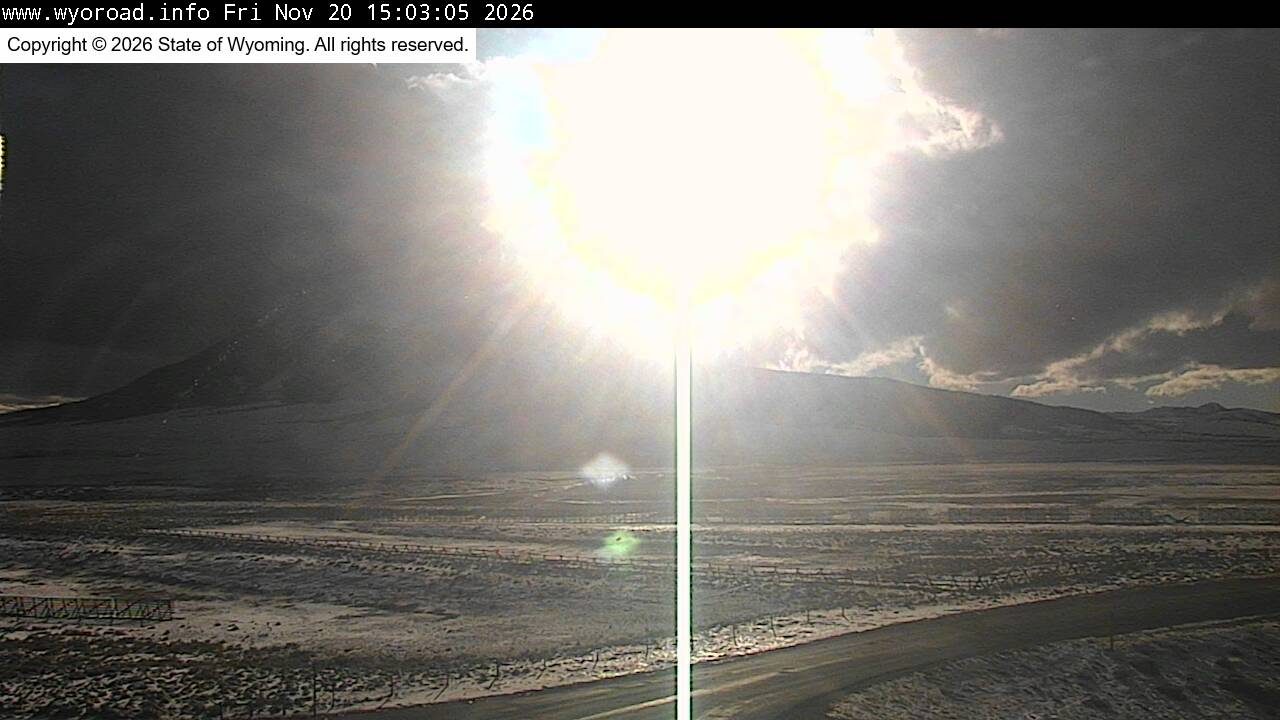
another view
MM 255.60
another view
MM 255.60
252.2
Halleck Ridgelooking west
MM 252.16
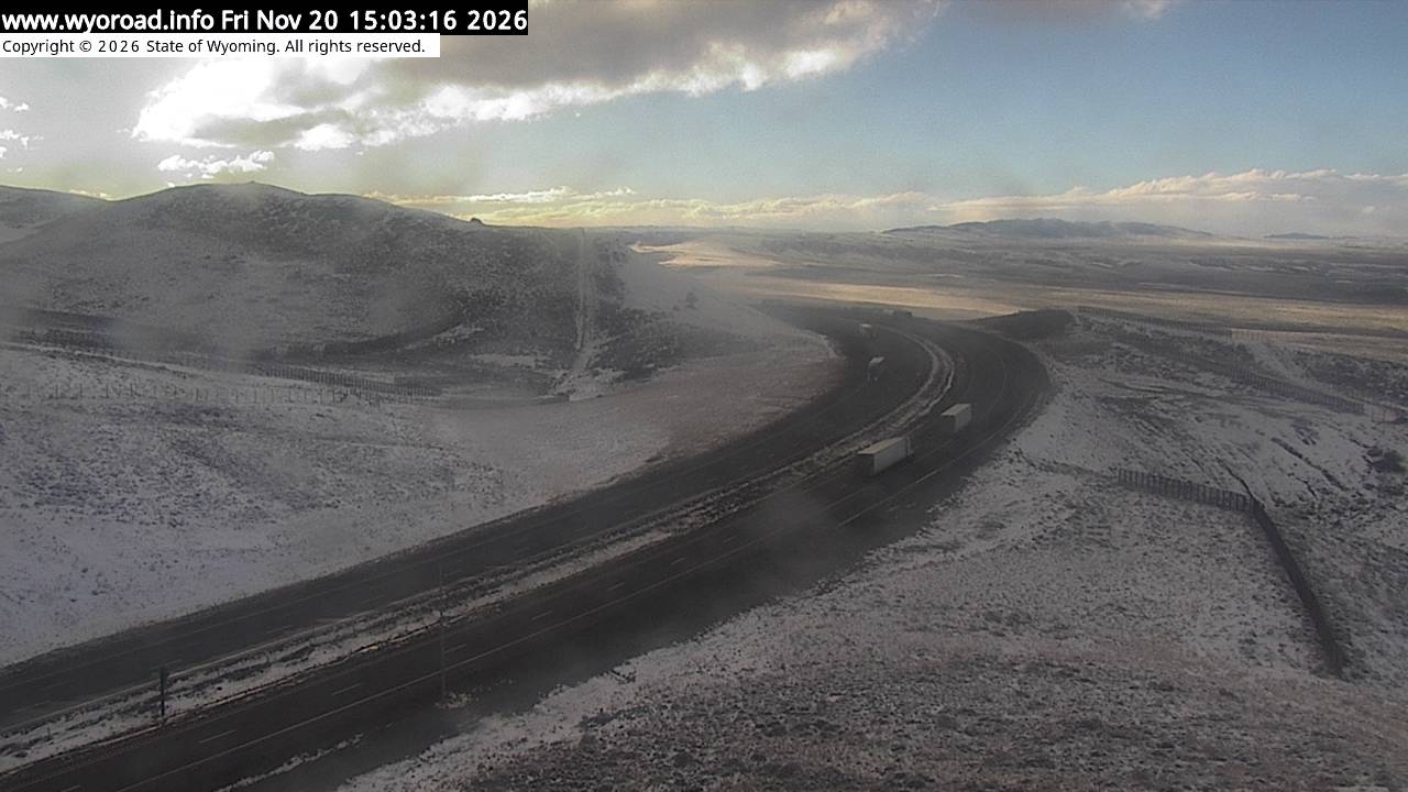
looking east
MM 252.16
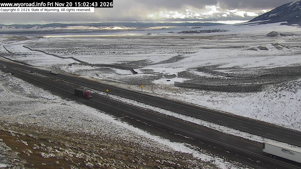
another view
MM 252.16
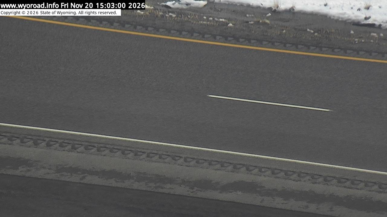
249.1
Mile Marker 249.1looking west
MM 249.10
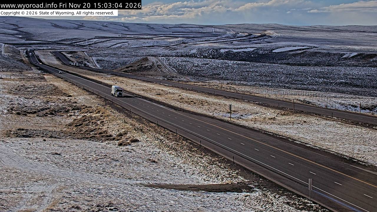
looking east
MM 249.10
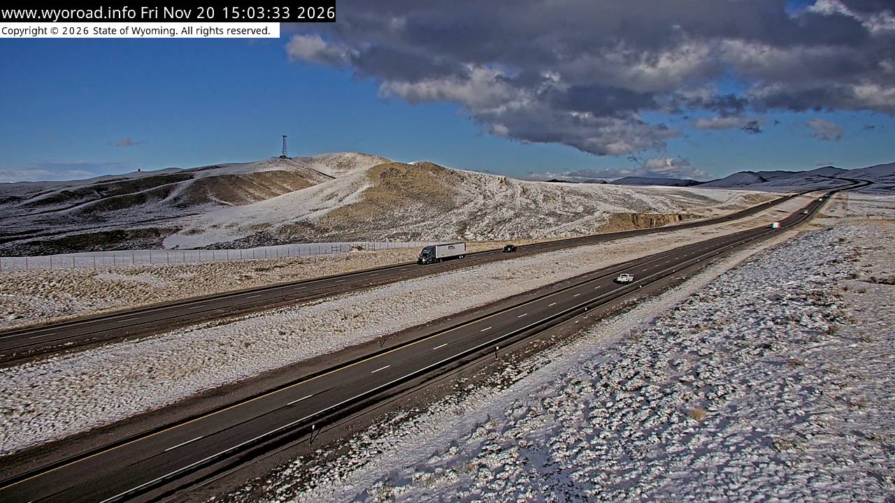
another view
MM 249.10
244.8
Dana Ridgelooking west
MM 244.80
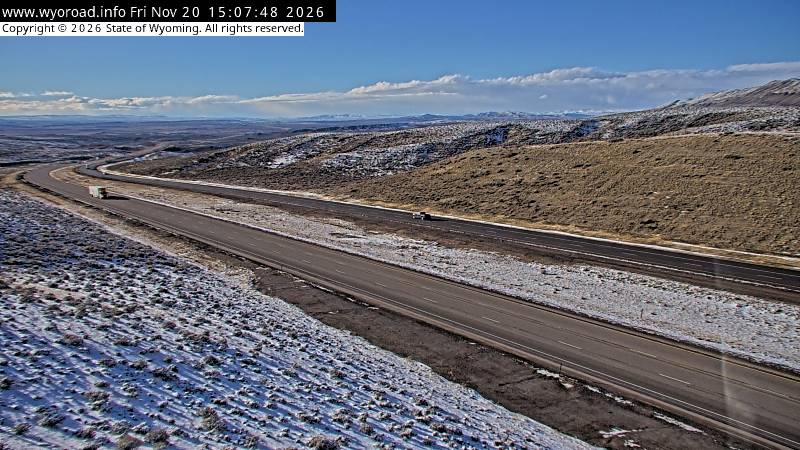
looking east
MM 244.80
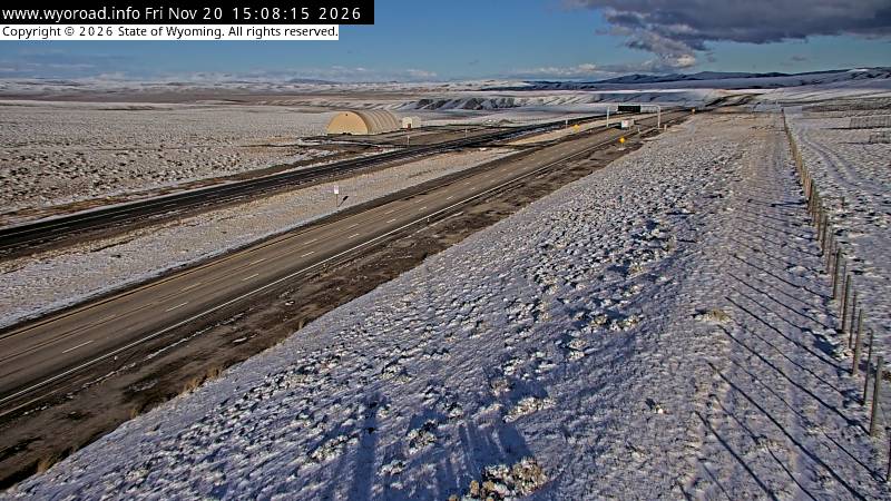
another view
MM 244.80
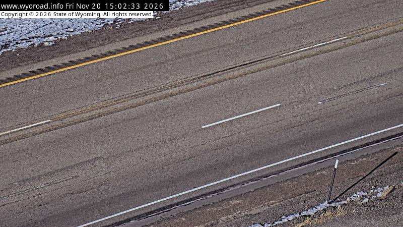
another view
MM 244.80
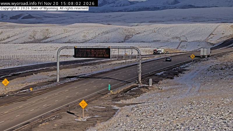
- ⋮ 10 mi
234.7
Walcott Junctionlooking west
MM 234.66
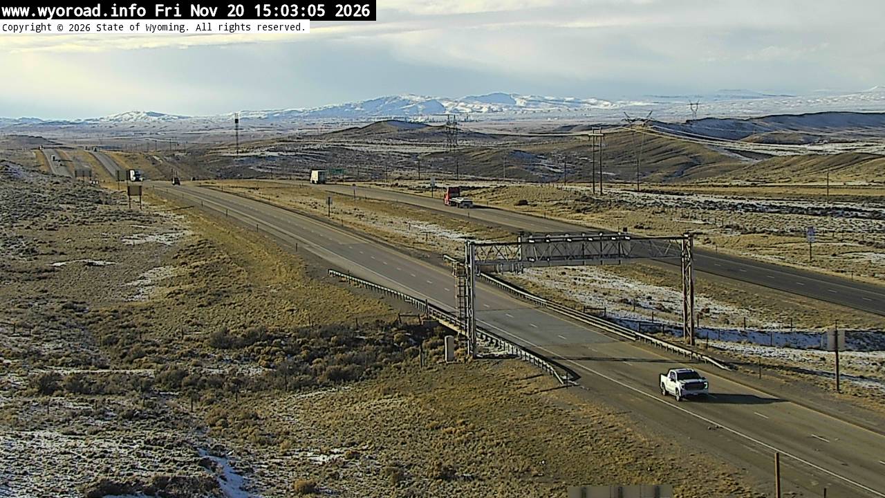
another view
MM 234.66
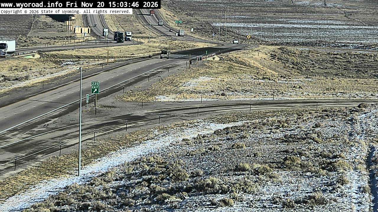
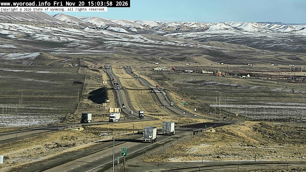
looking east
MM 234.66
another view
MM 234.66
another view
MM 234.66
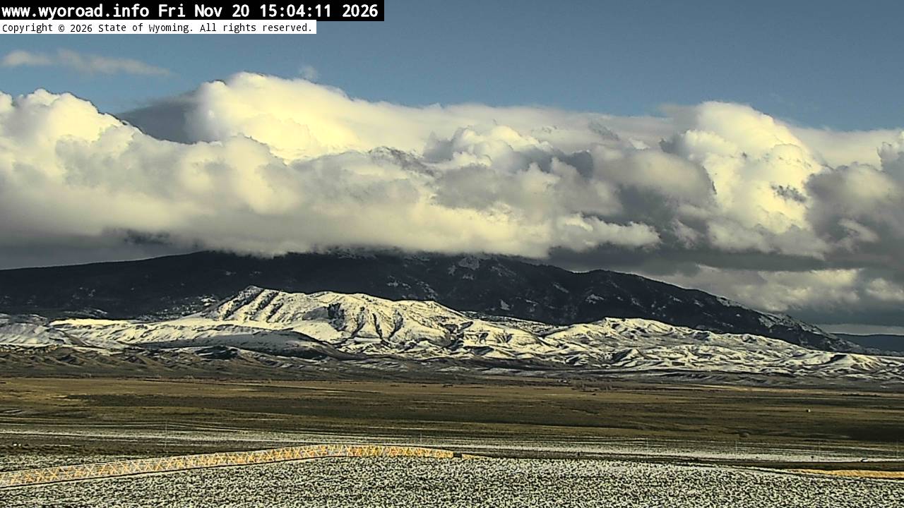
- ⋮ 13 mi
221.7
Sinclairlooking west
MM 221.70
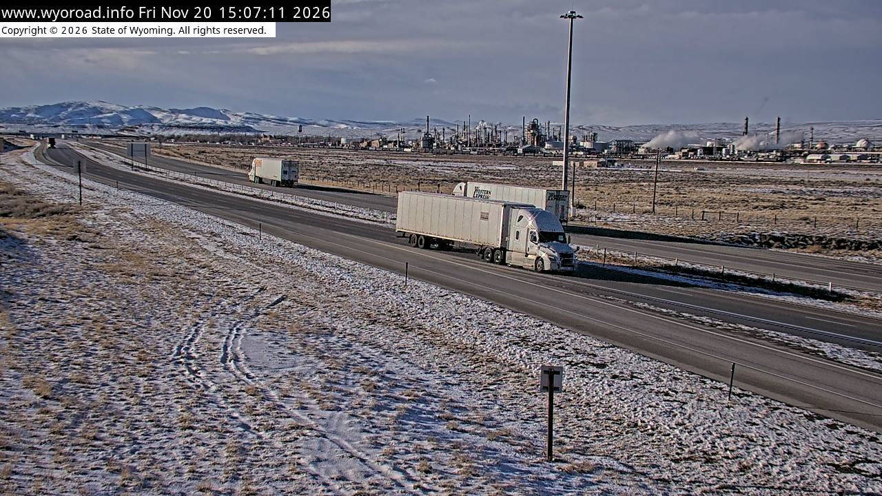
another view
MM 221.70
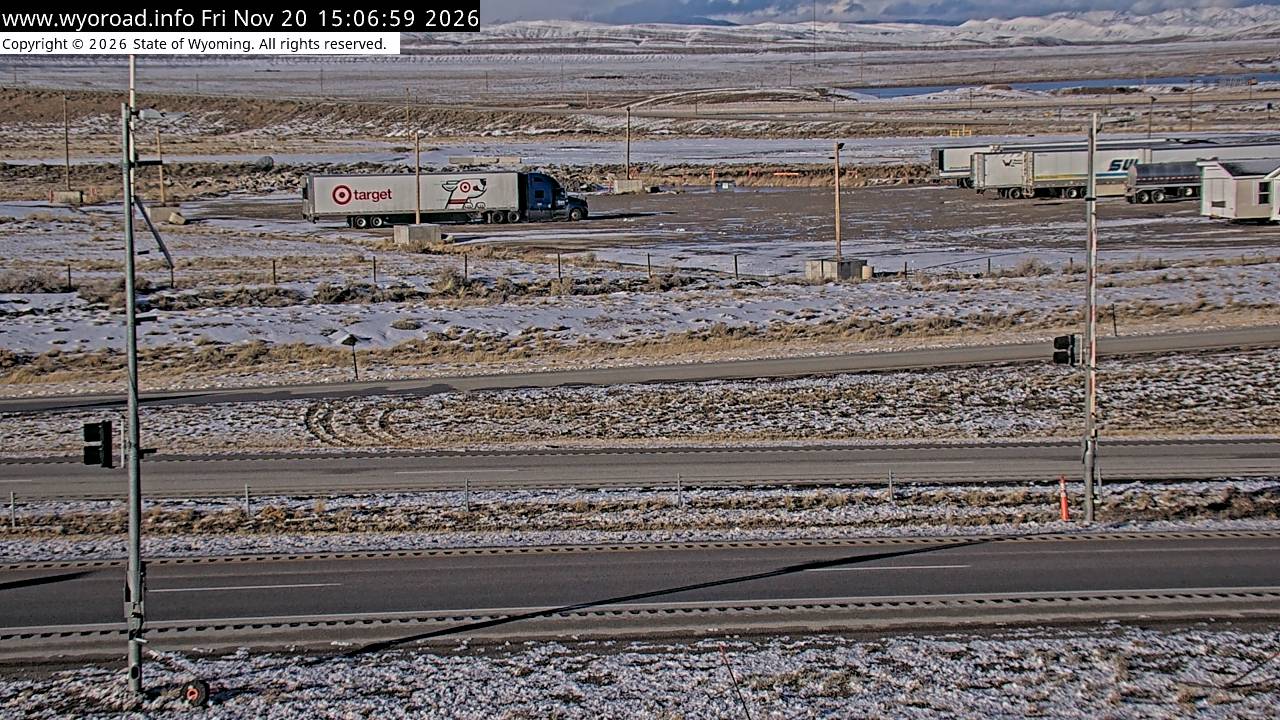
looking east
MM 221.70
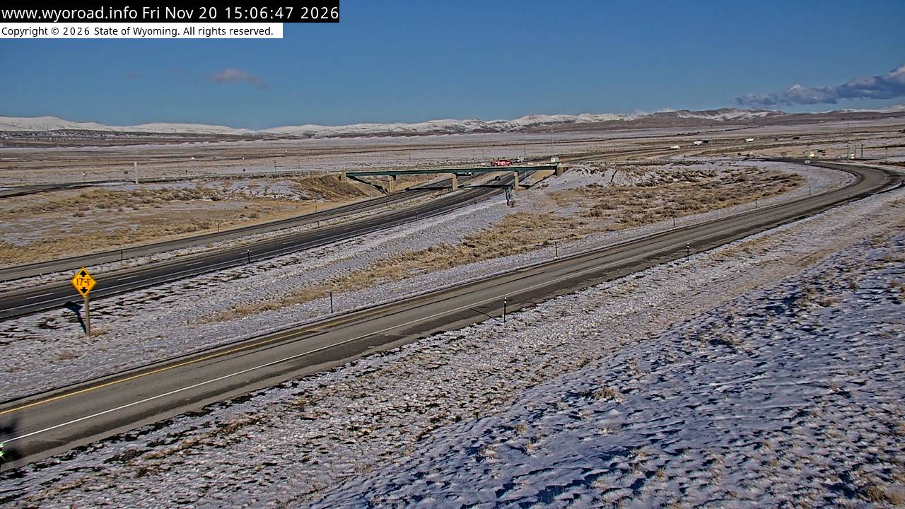
another view
MM 221.70
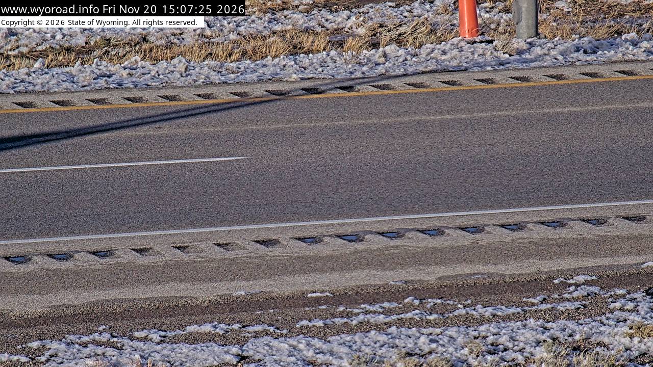
- ⋮ 16 mi
206.0
Hadselllooking west
MM 206.00
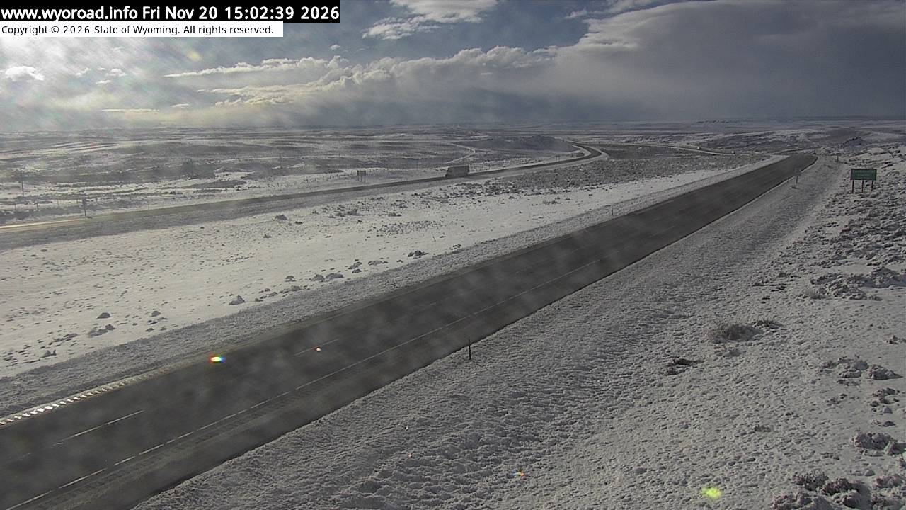
looking east
MM 206.00
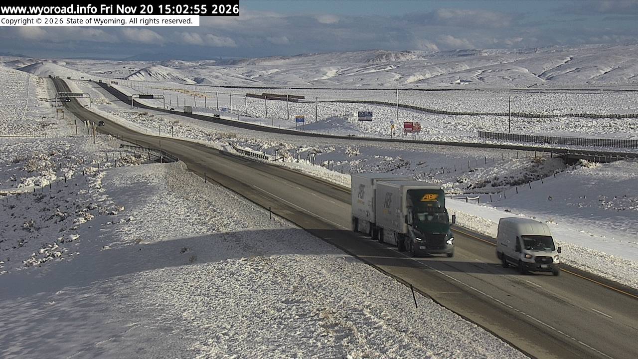
another view
MM 206.00
- ⋮ 19 mi
187.4
Creston Junctionlooking west
MM 187.42
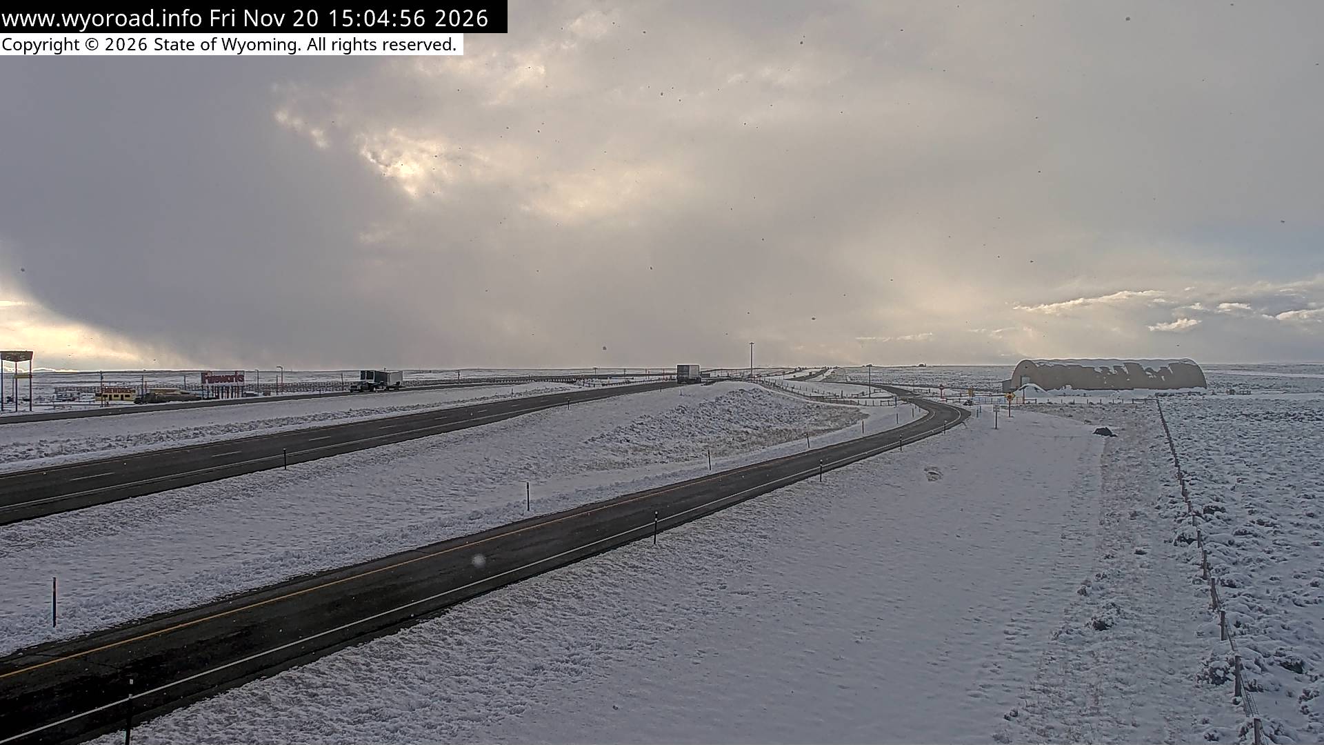
looking east
MM 187.42
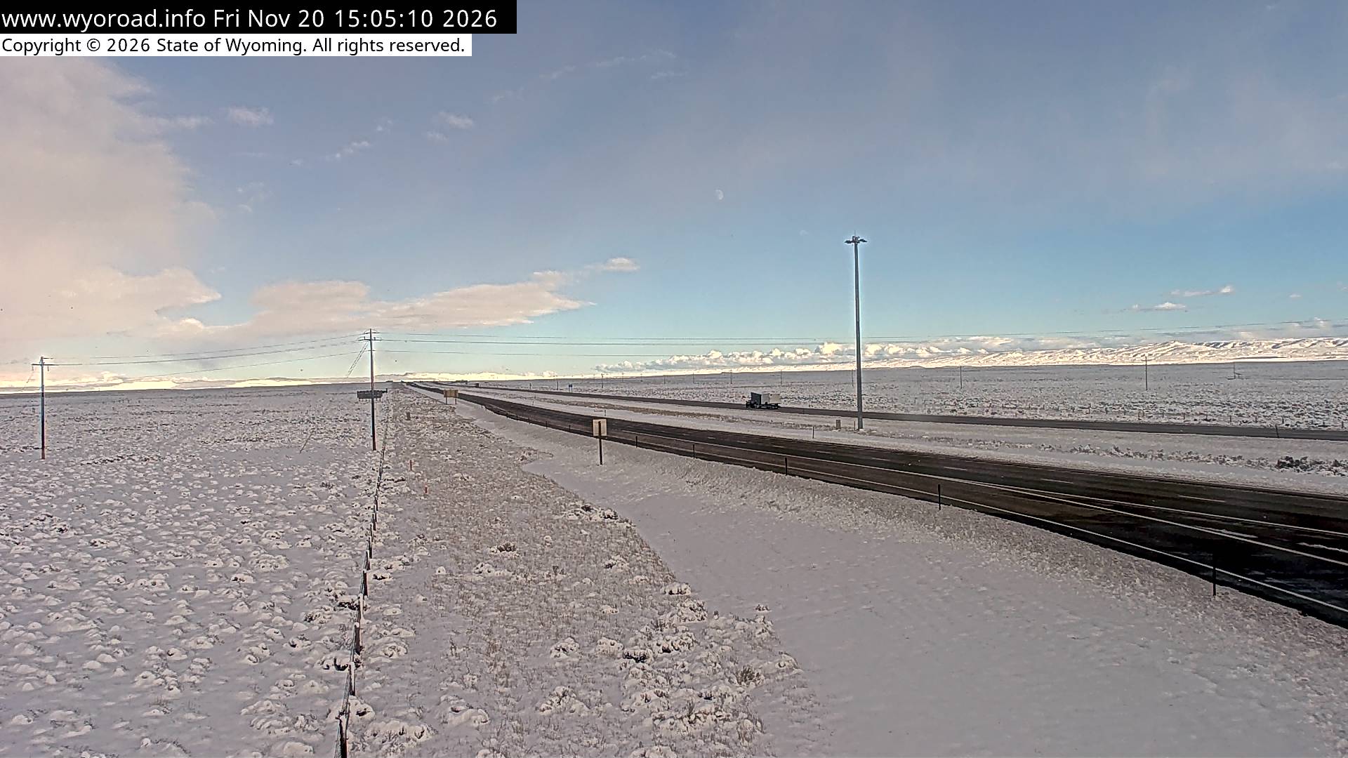
another view
MM 187.42
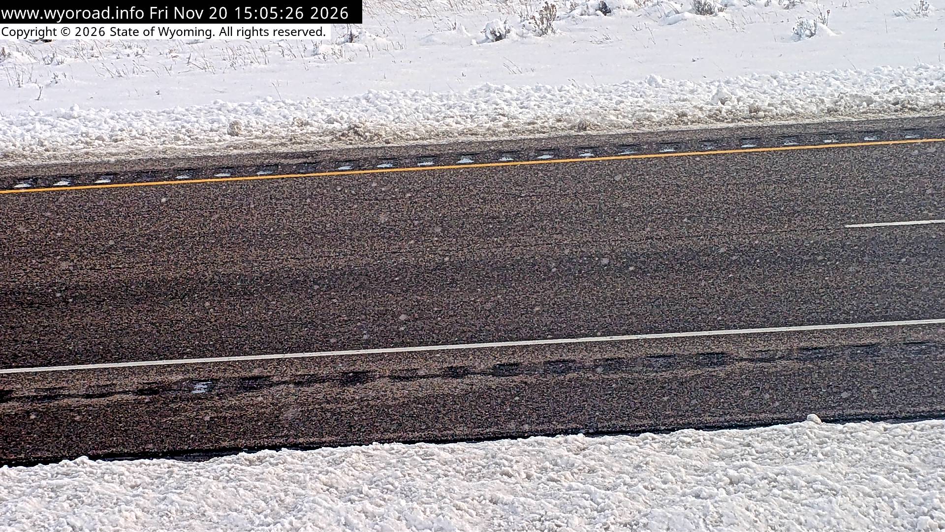
MM 184.30
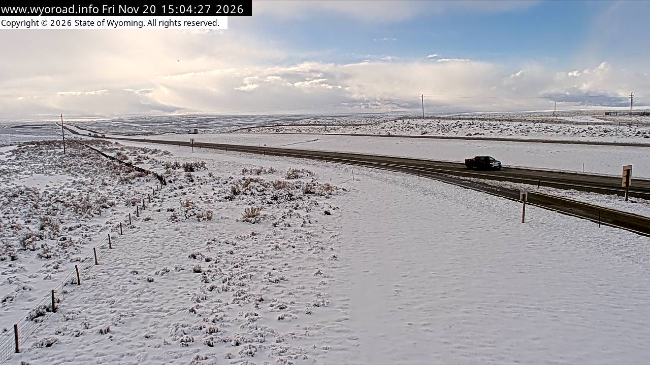
looking east
MM 184.30
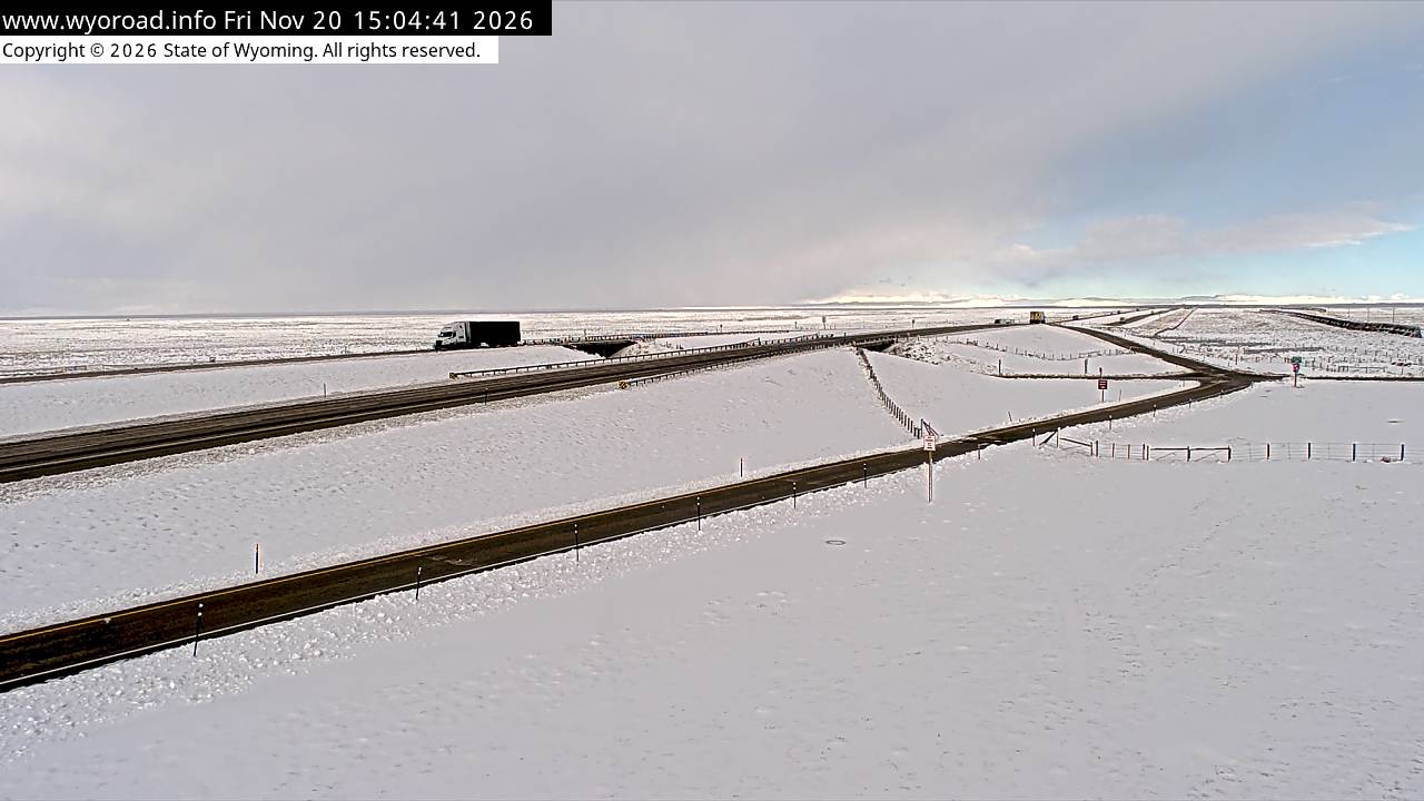
another view
MM 184.30
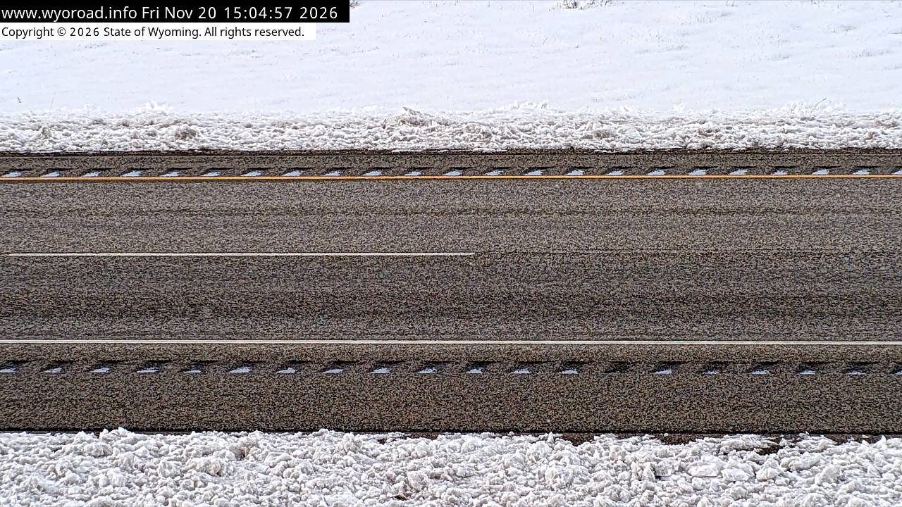
- ⋮ 11 mi
173.5
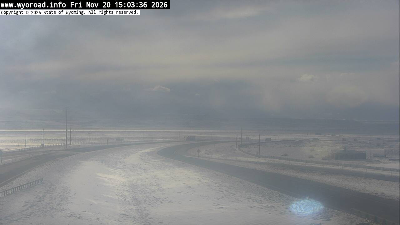
Wamsutter Interchangelooking west
MM 173.45
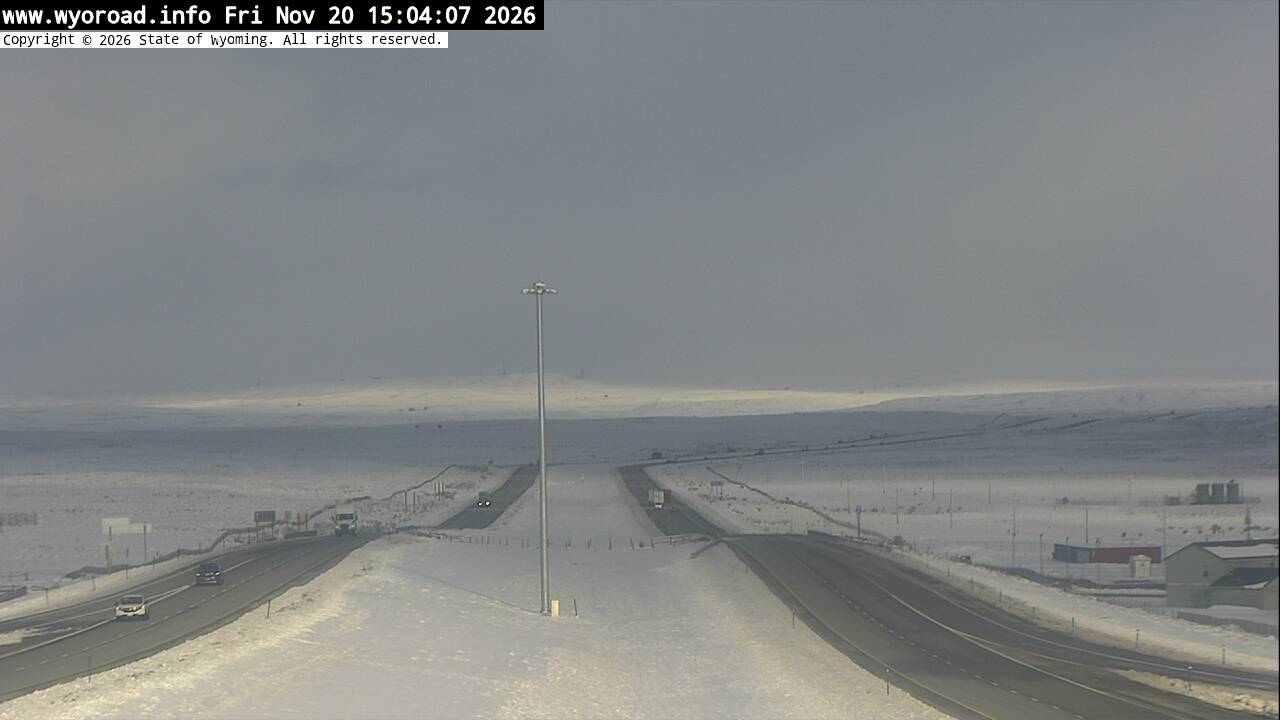
looking east
MM 173.45
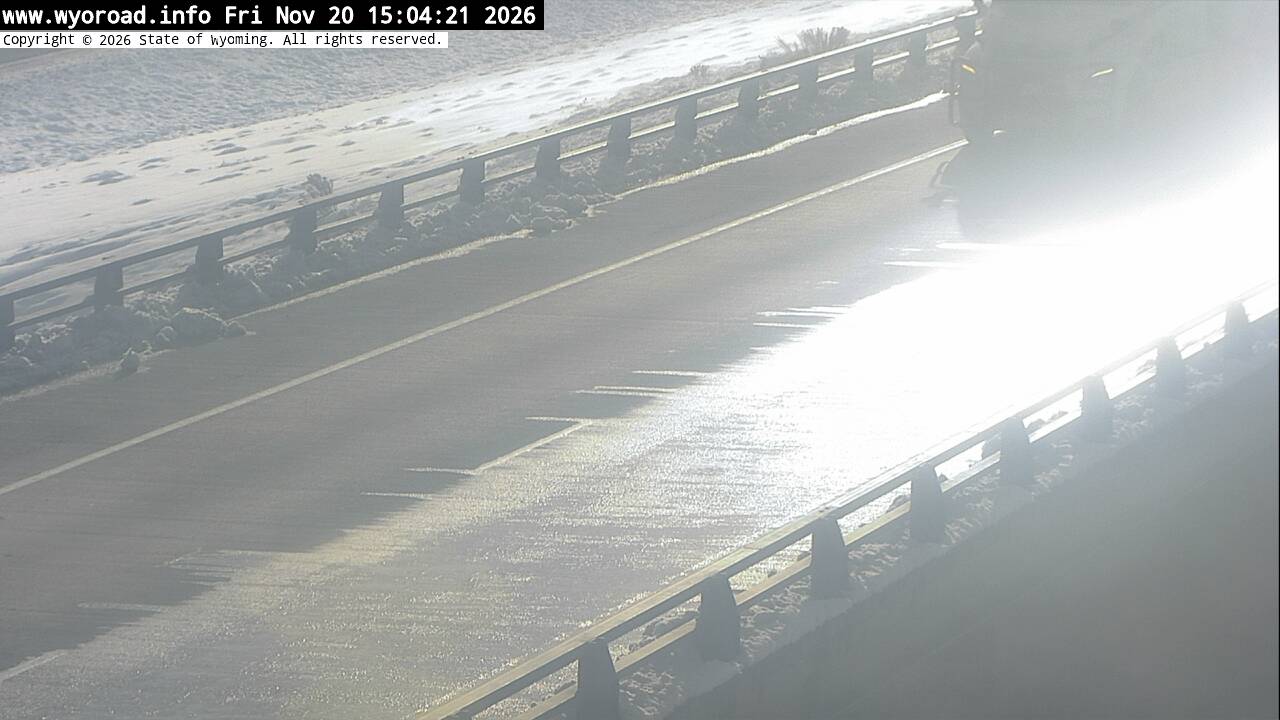
looking east
MM 173.45
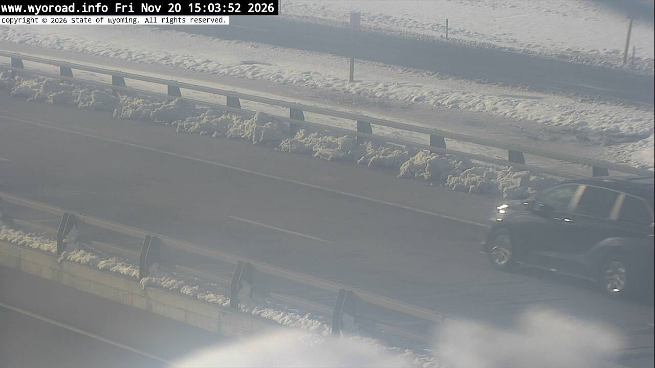
looking west
MM 173.45
- ⋮ 17 mi
156.7
Tiptonlooking west
MM 156.72
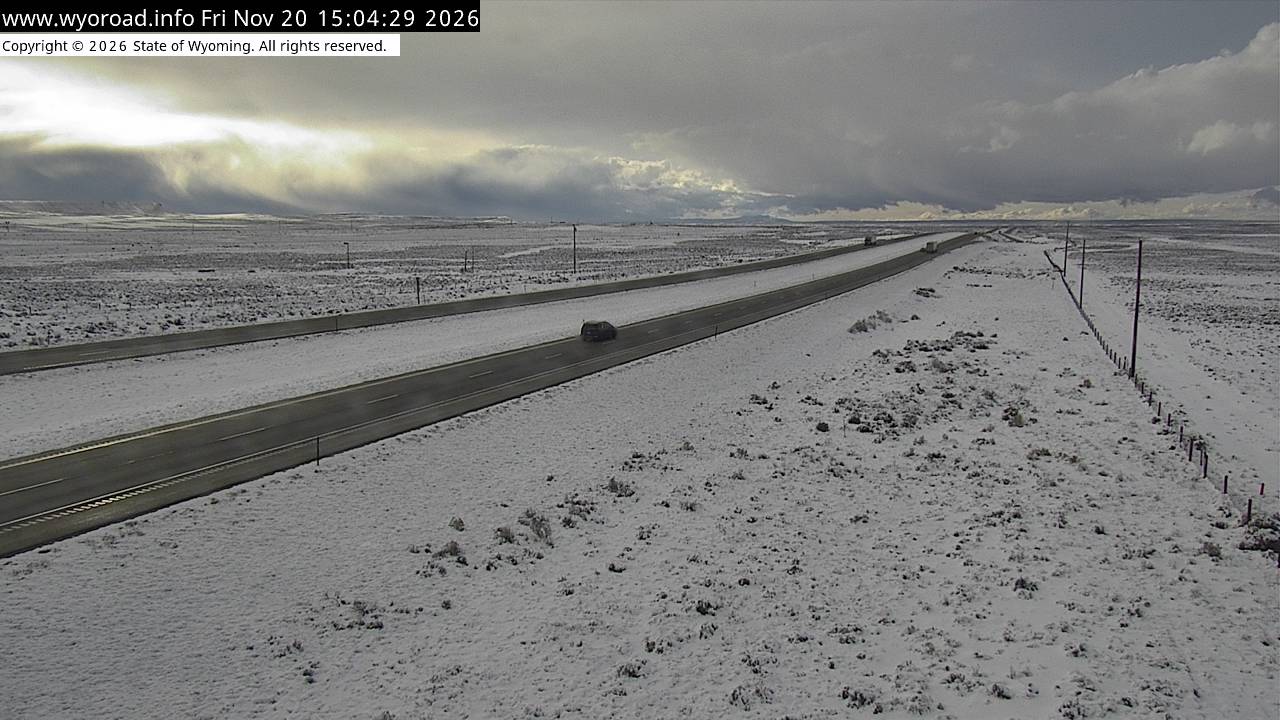
looking east
MM 156.72
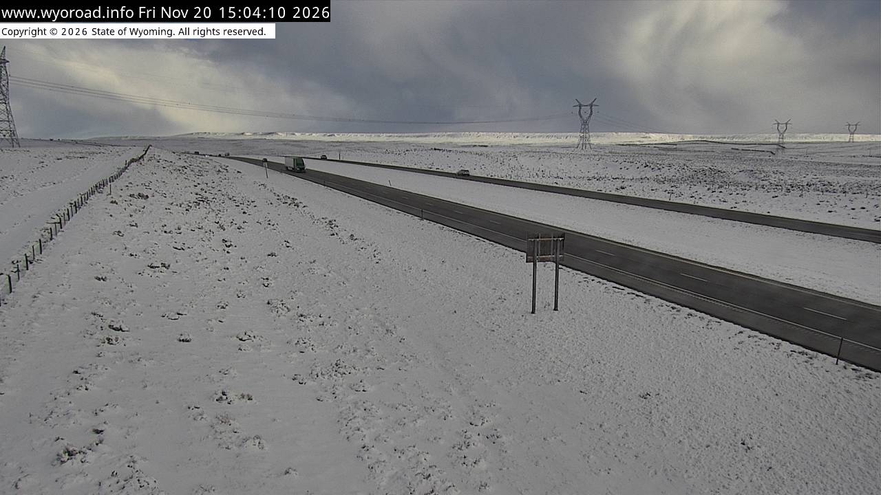
another view
MM 156.72
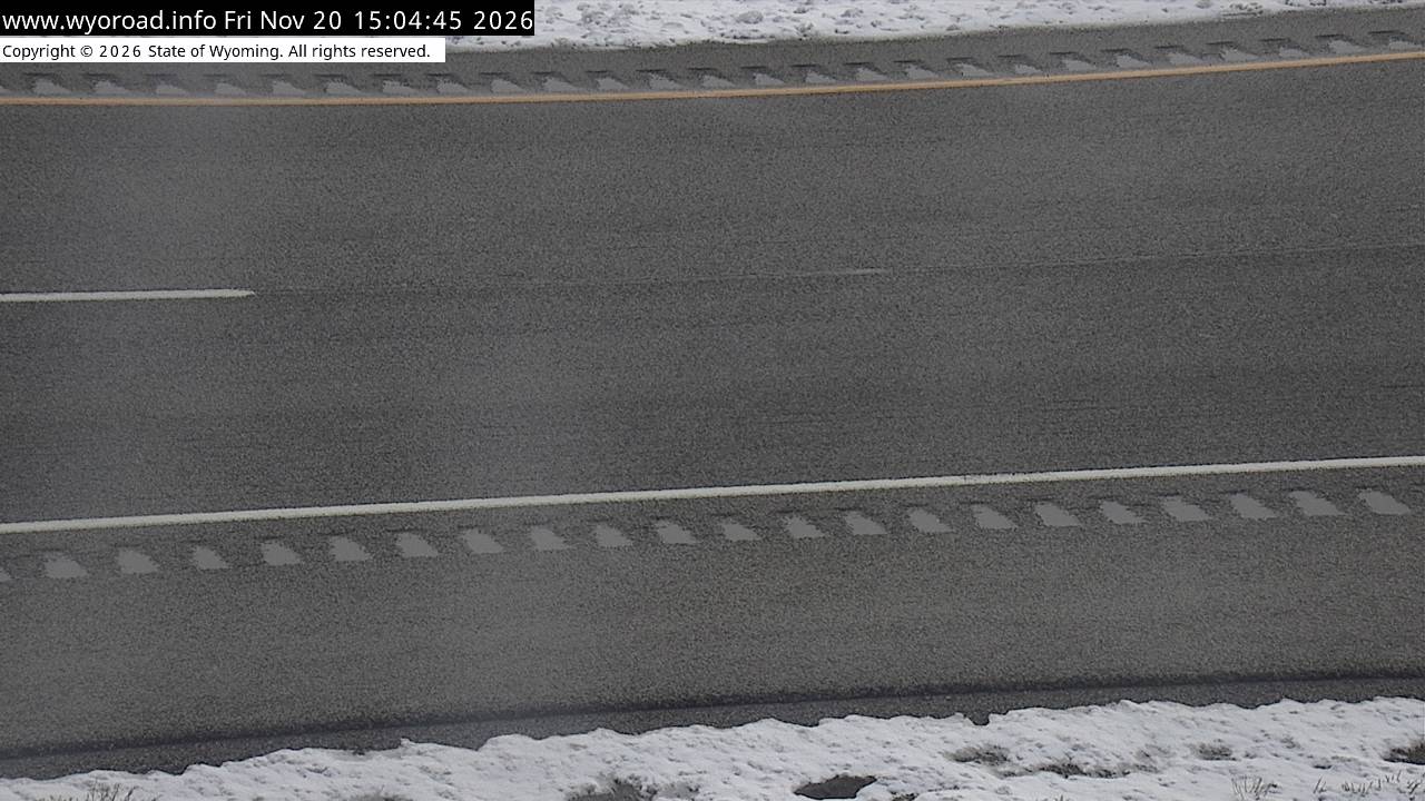
- ⋮ 15 mi
141.8
Bitter Creeklooking west
MM 141.83
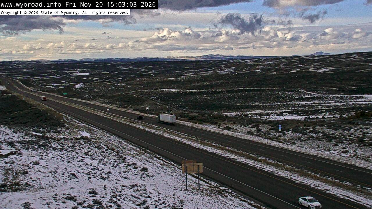
looking east
MM 141.83
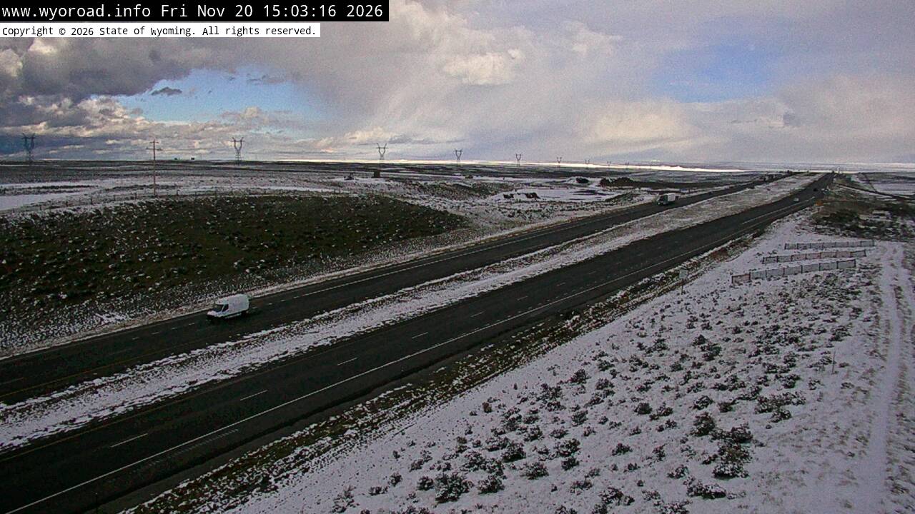
another view
MM 141.83
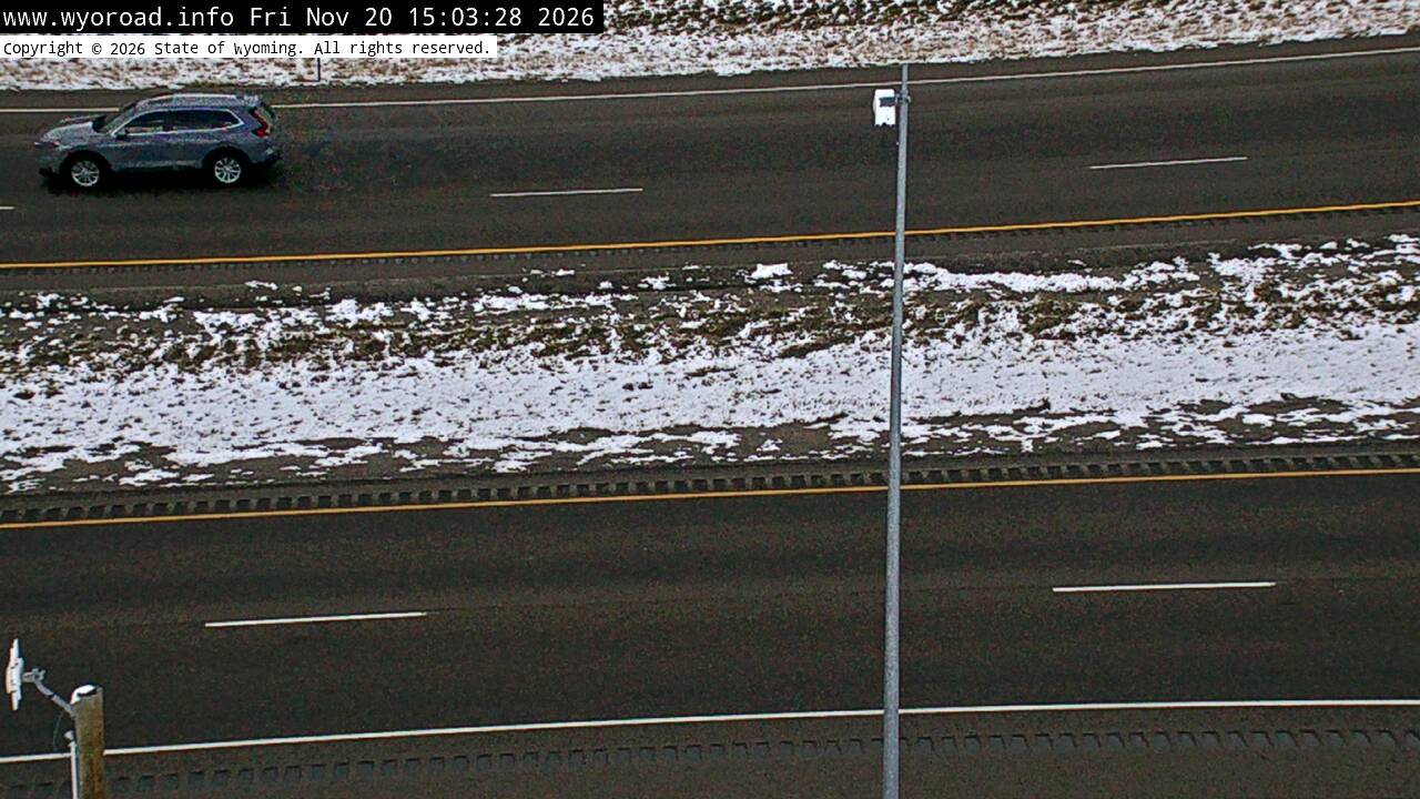
- ⋮ 7 mi
135.0
Black Buttelooking west
MM 134.99
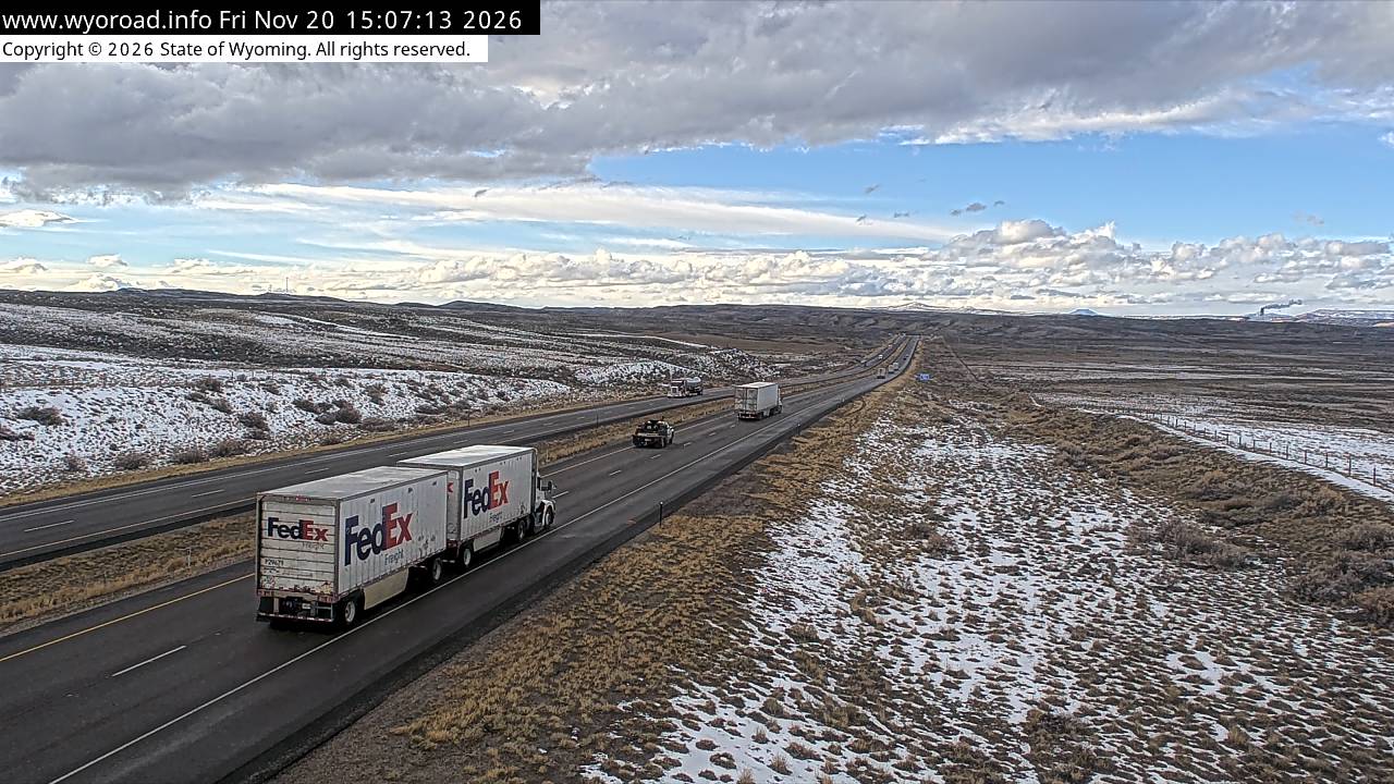
looking east
MM 134.99
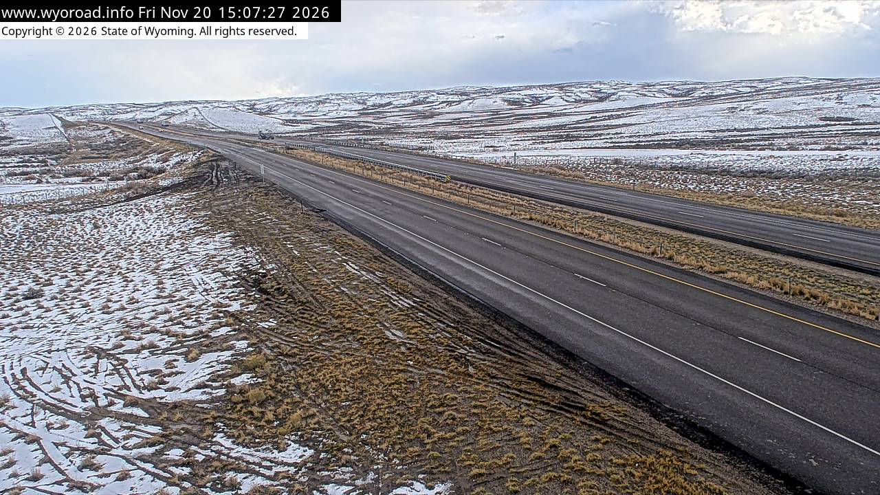
another view
MM 134.99
- ⋮ 5 mi
129.8
Point of Rockslooking west
MM 129.80
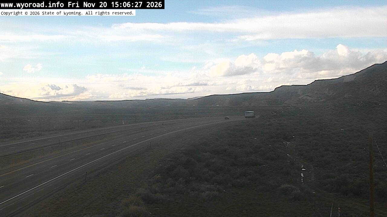
looking east
MM 129.80
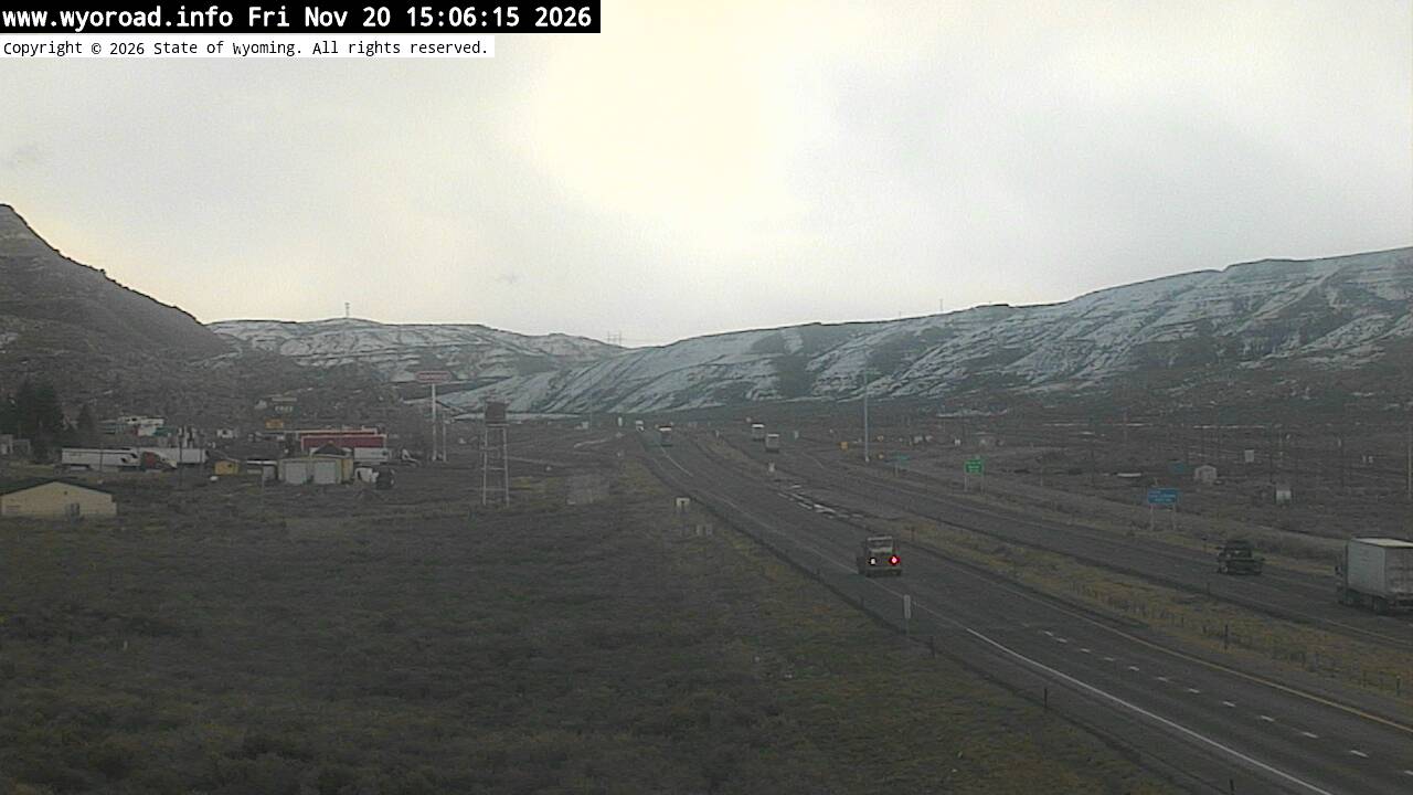
another view
MM 129.80
- ⋮ 18 mi
111.5
Baxter Roadlooking west
MM 111.50
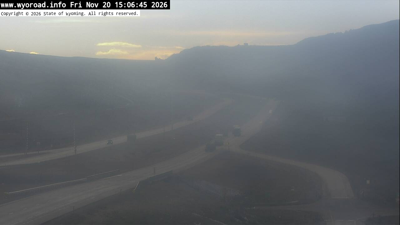
looking east
MM 111.50
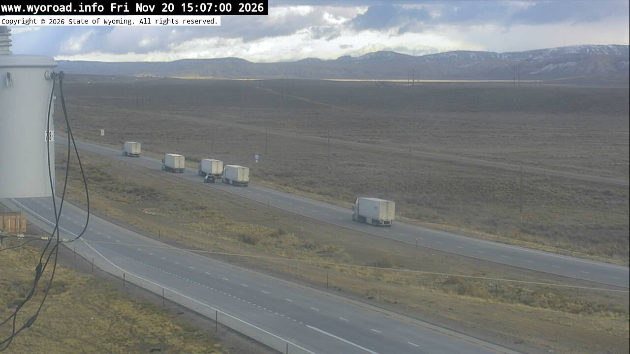
another view
MM 111.50
106.8
Pilot Buttelooking west
MM 106.80
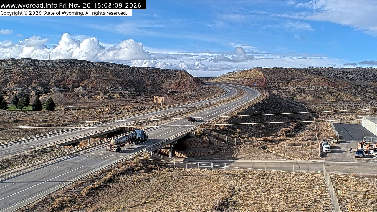
looking east
MM 106.80
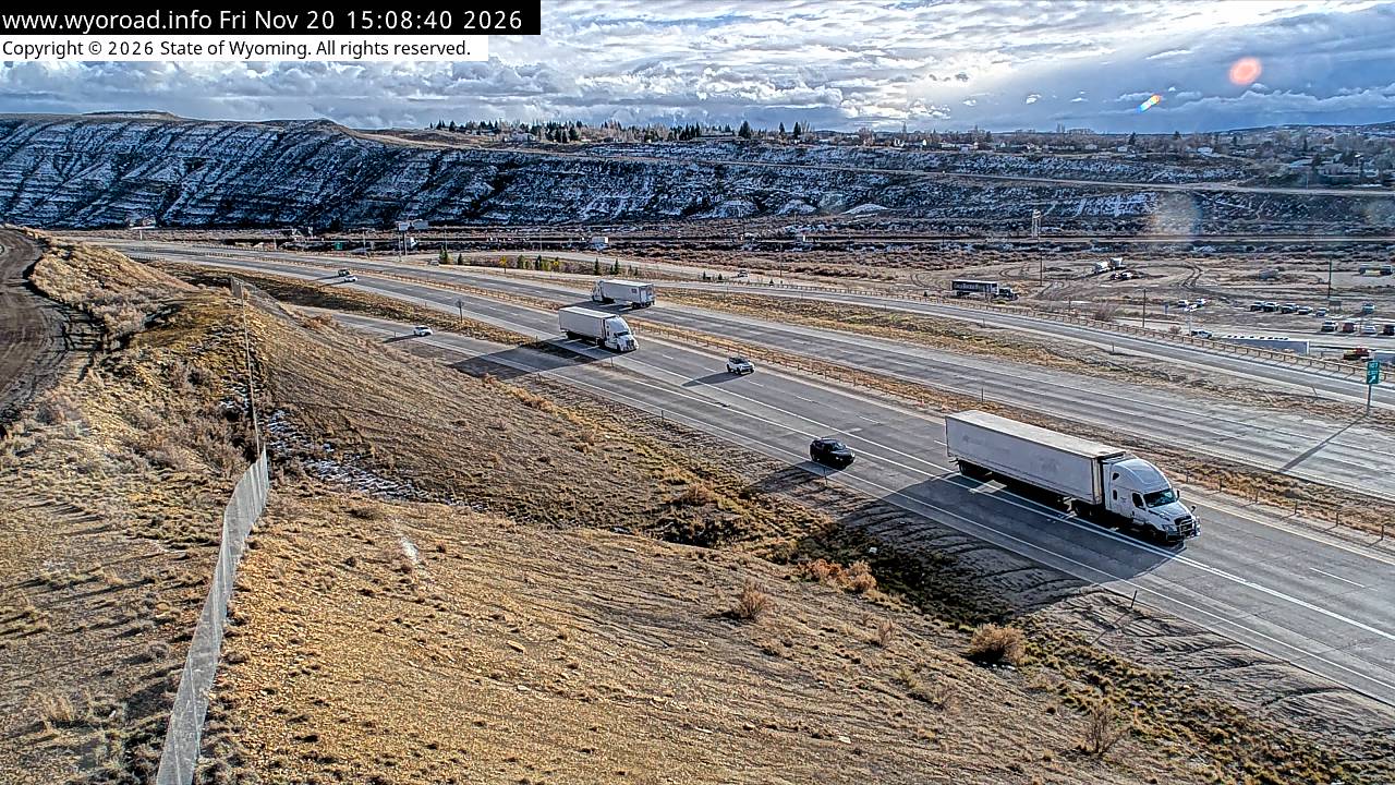
another view
MM 106.80
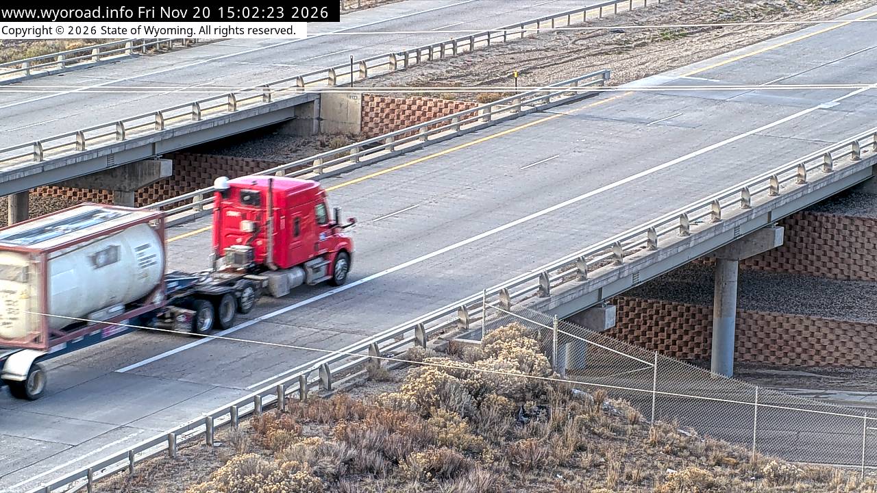
another view
MM 106.80
104.6
Elk Streetlooking west
MM 104.55
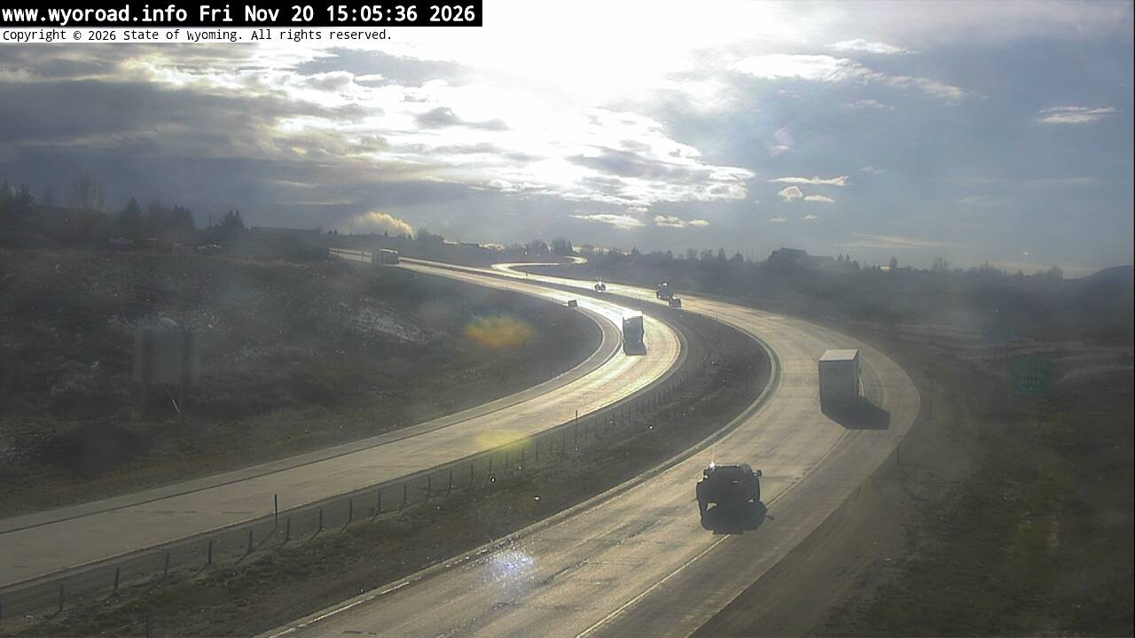
looking east
MM 104.55
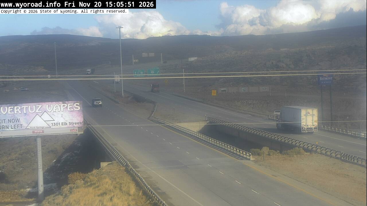
another view
MM 104.55
103.2
College Drlooking west
MM 103.20
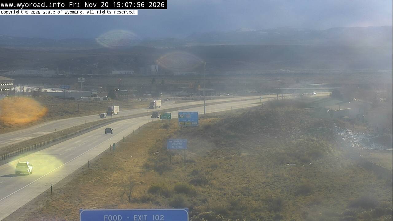
looking east
MM 103.20
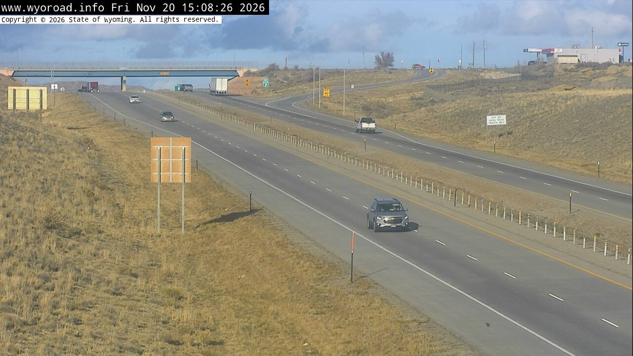
another view
MM 103.20
- ⋮ 5 mi
97.9
Rock Springs Westlooking west
MM 97.90
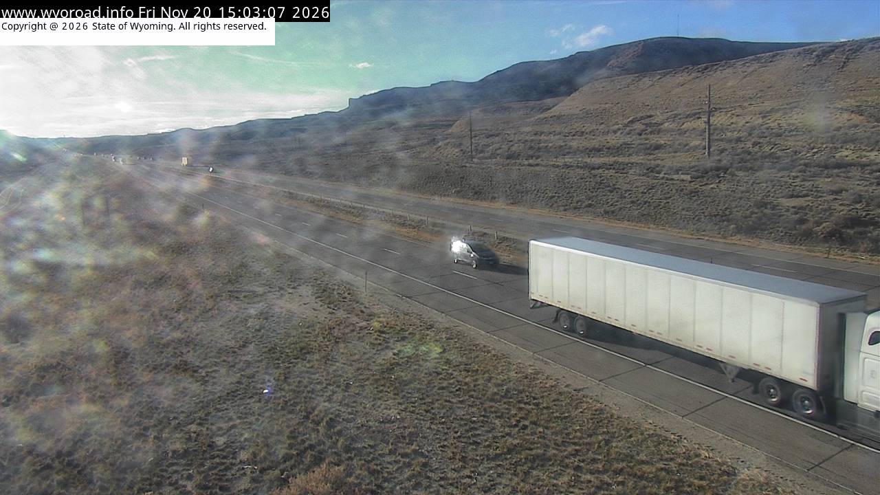
looking east
MM 97.90
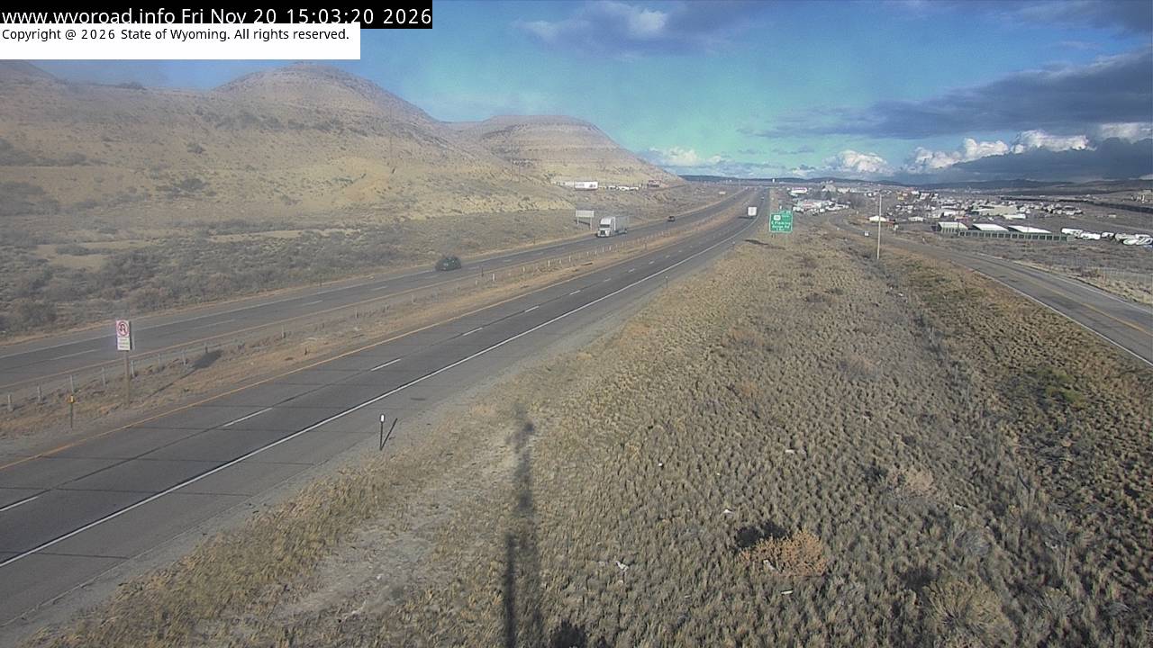
another view
MM 97.90
94.2
Mile Marker 94.2looking west
MM 94.20
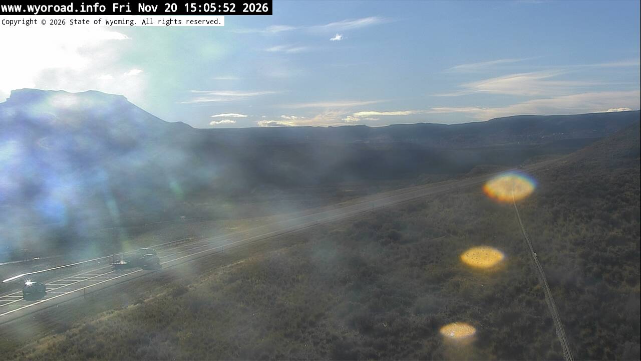
looking east
MM 94.20
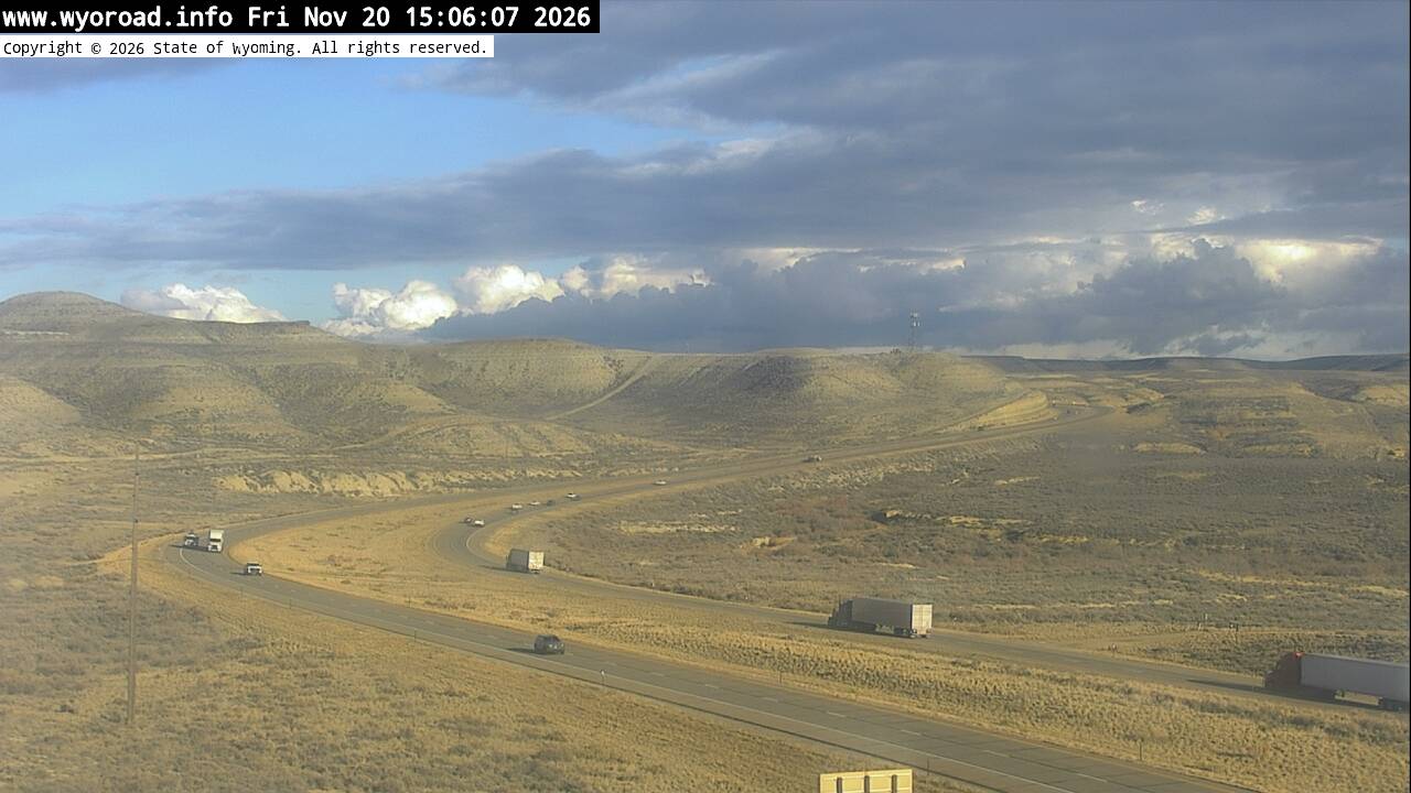
another view
MM 94.20
92.8
Mile Marker 92.75looking west
MM 92.75
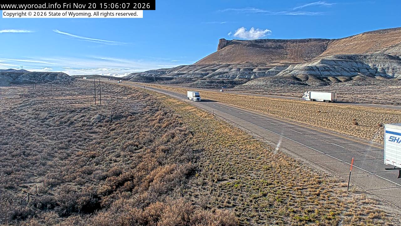
looking east
MM 92.75

another view
MM 92.75

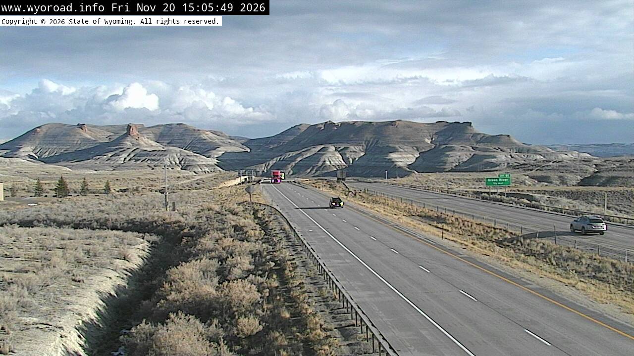
90.5
Green River Tunnel Eastlooking east
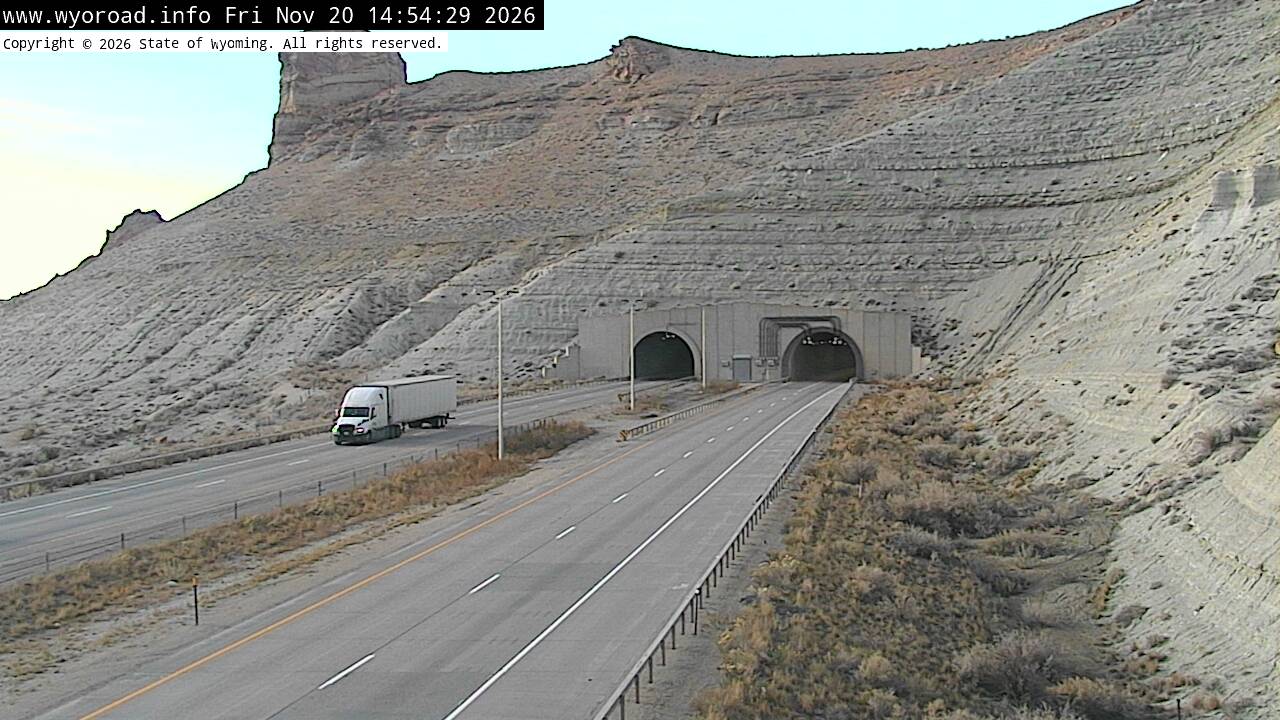
MM 90.50
looking west
MM 90.50
another view
MM 90.50
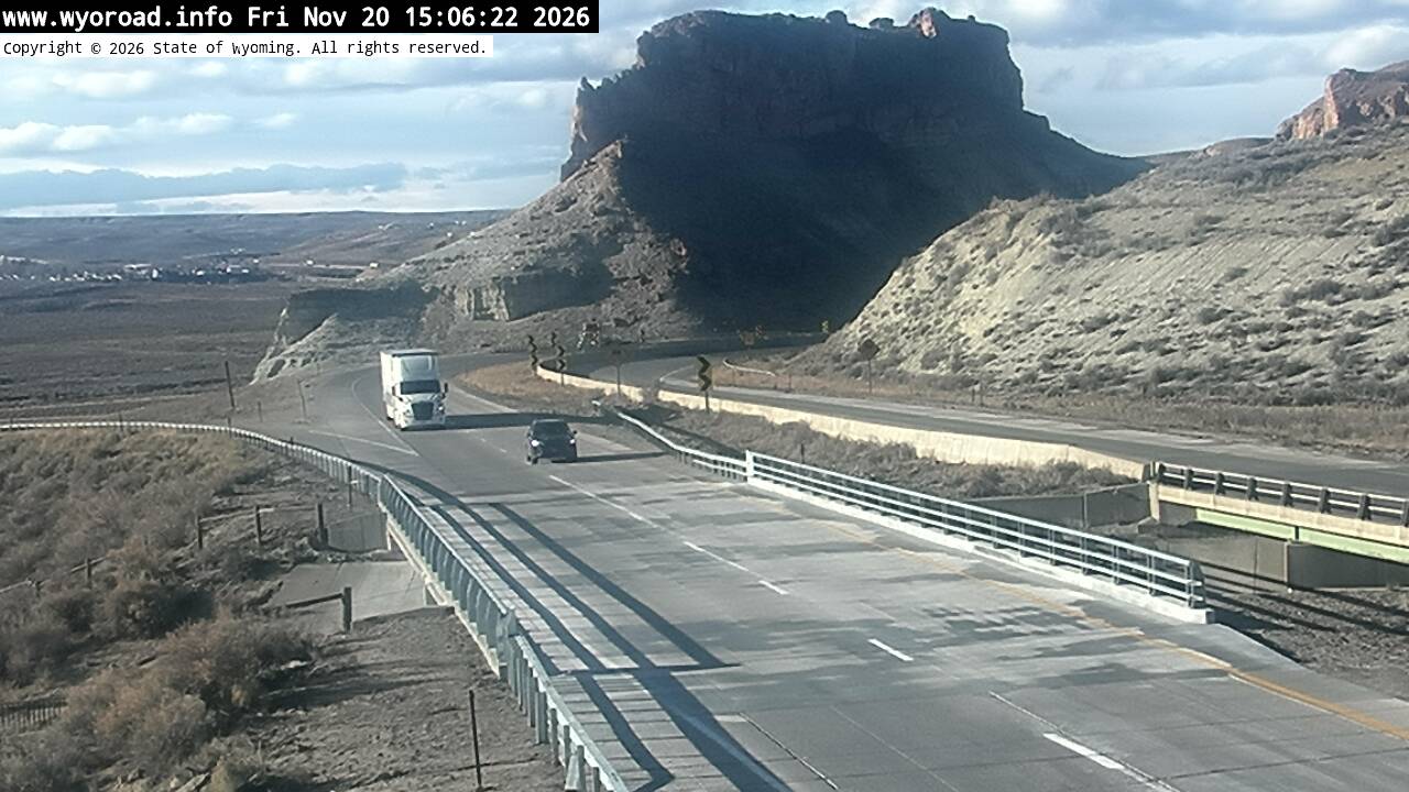
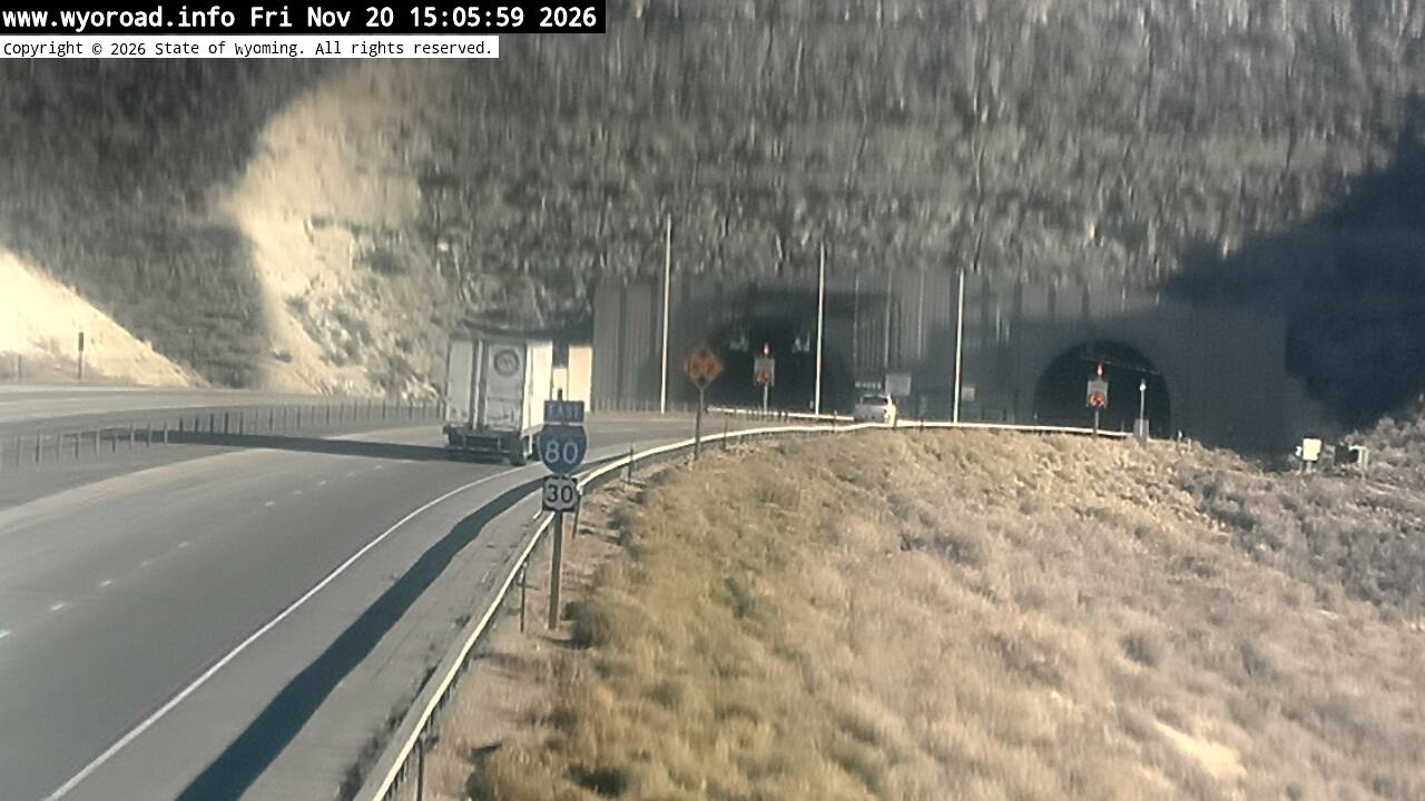
89.5
Green River Tunnel Westlooking west
MM 89.50
looking east
MM 89.50
another view
MM 89.50
another view
MM 89.50
- ⋮ 7 mi
82.3
Peru Hilllooking west
MM 82.31
looking east
MM 82.31
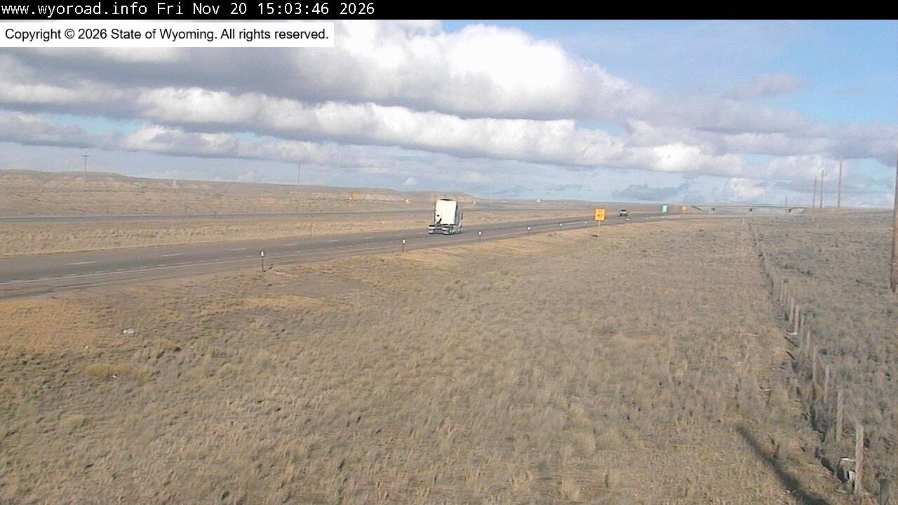
another view
MM 82.31
- ⋮ 13 mi
69.7
Little Americalooking west
MM 69.70
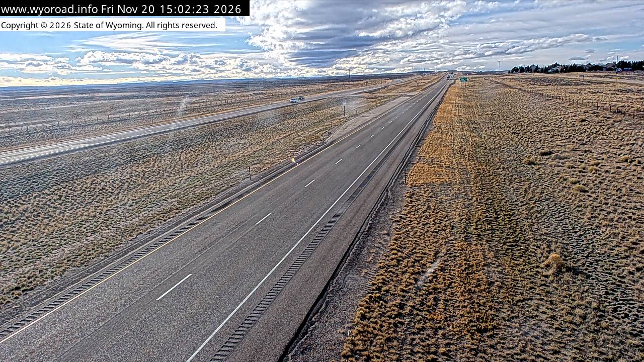
looking east
MM 69.70
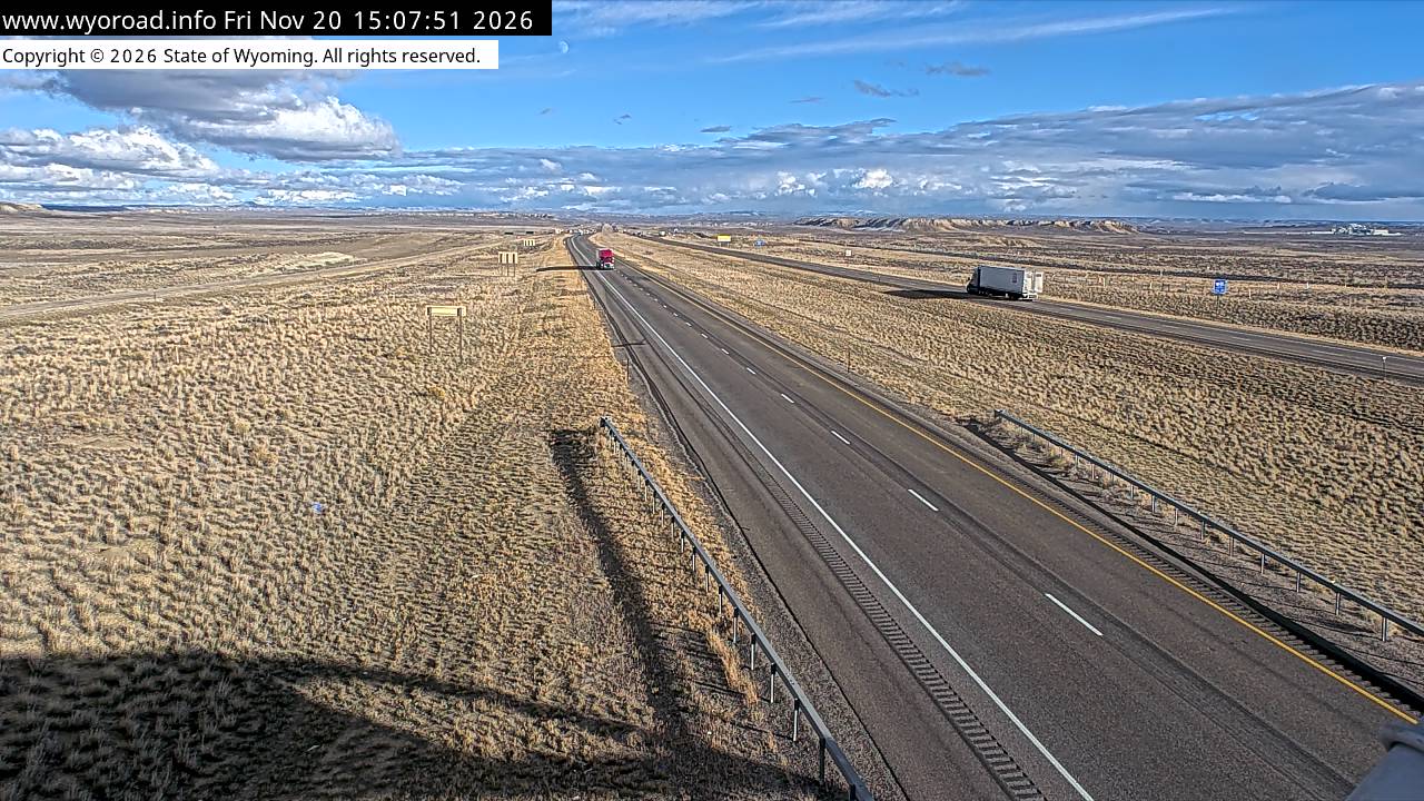
another view
MM 69.70
LymanWY · 3 cams
- ⋮ 17 mi
52.7
Church Buttelooking west
MM 52.65
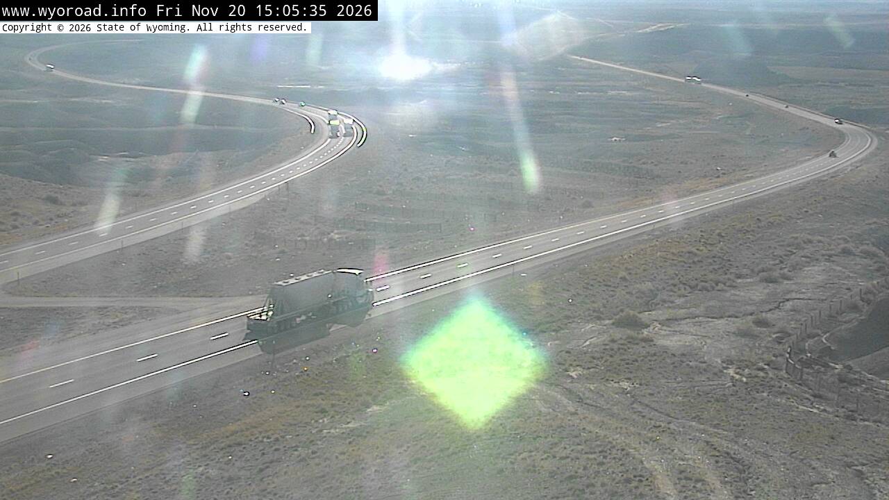
looking east
MM 52.65
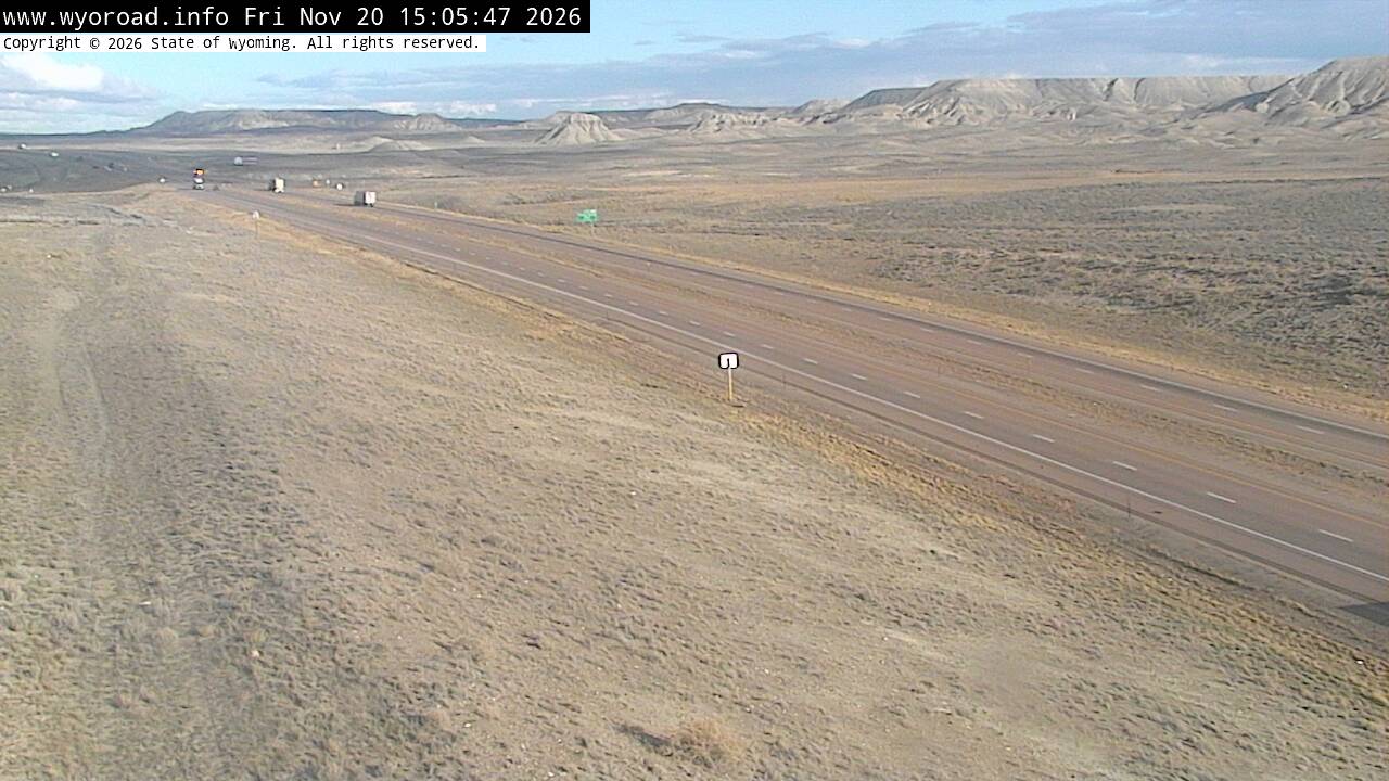
another view
MM 52.65
- ⋮ 24 mi
28.3
French Interchangelooking west
MM 28.30
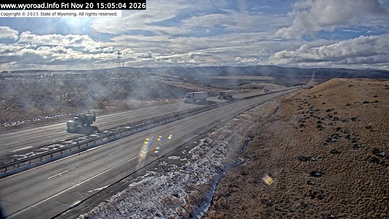
looking east
MM 28.30
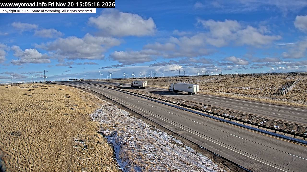
another view
MM 28.30
- ⋮ 10 mi
18.0
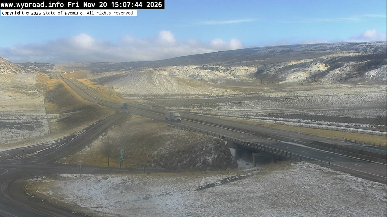
US 189 Interchangelooking west
MM 18.00
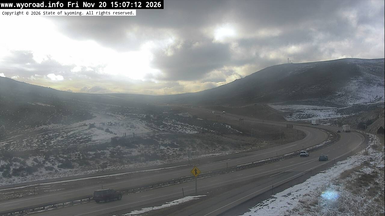
looking east
MM 18.00
another view
MM 18.00
13.6
First Dividelooking west
MM 13.60
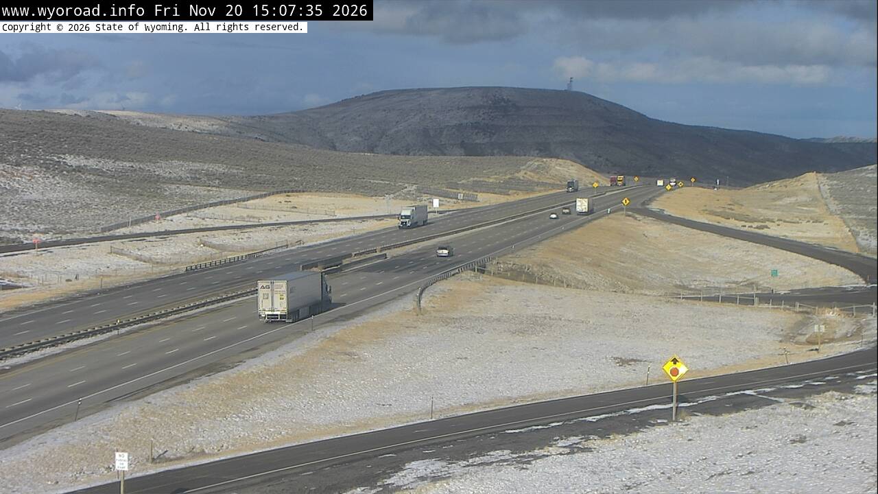
looking east
MM 13.60
another view
MM 13.60
- ⋮ 7 mi
6.9
Bear River Drlooking west
MM 6.94
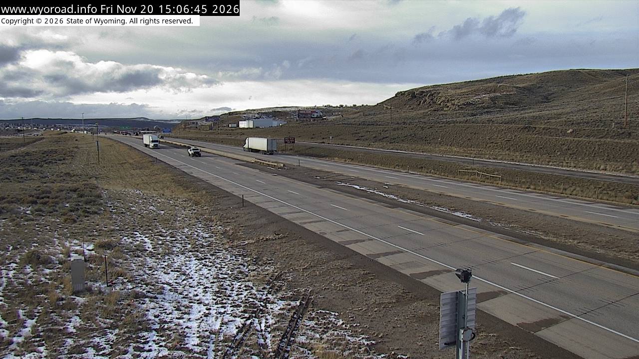
looking east
MM 6.94
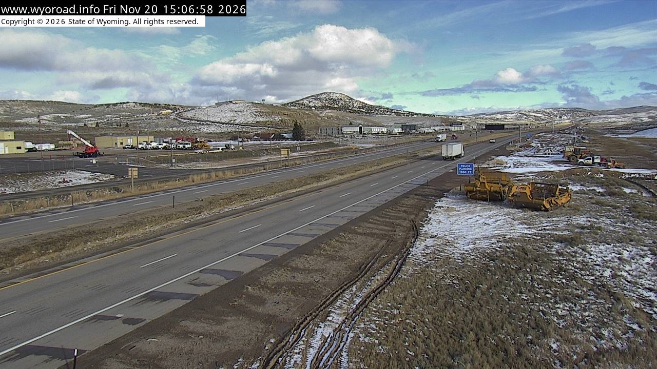
another view
MM 6.94
4.2
Evanstonlooking west
MM 4.20
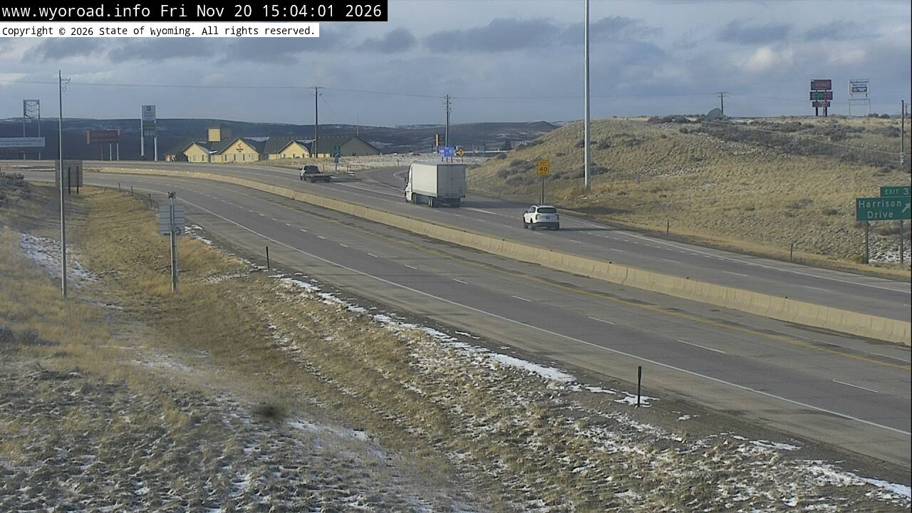
looking east
MM 4.20
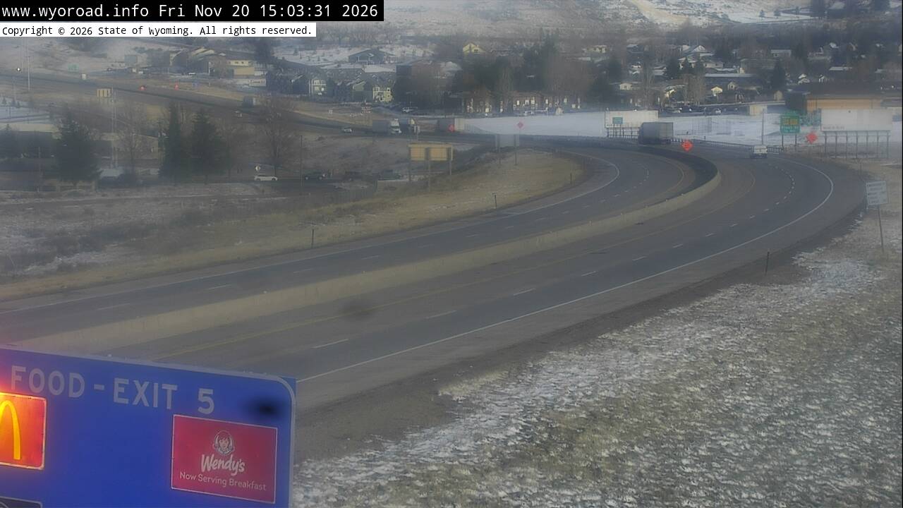
another view
MM 4.20
0.1
Evanston POElooking west
MM 0.06
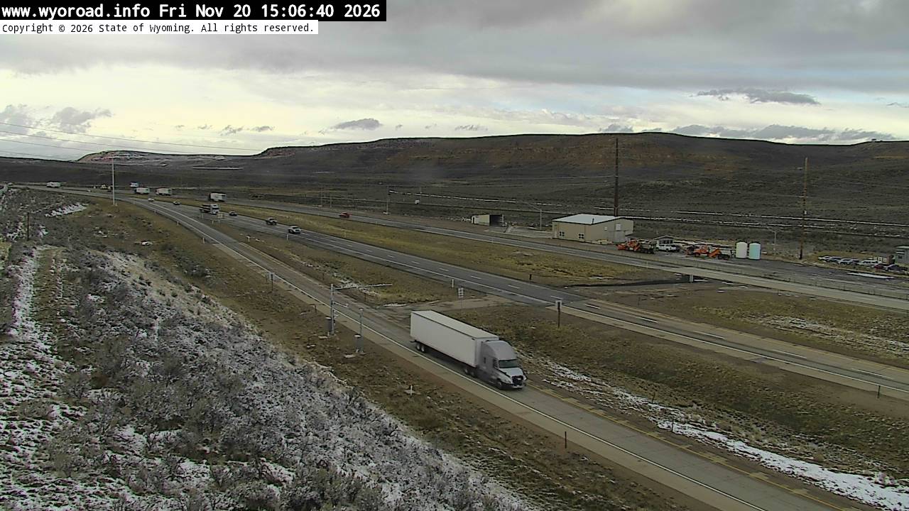
looking east
MM 0.06
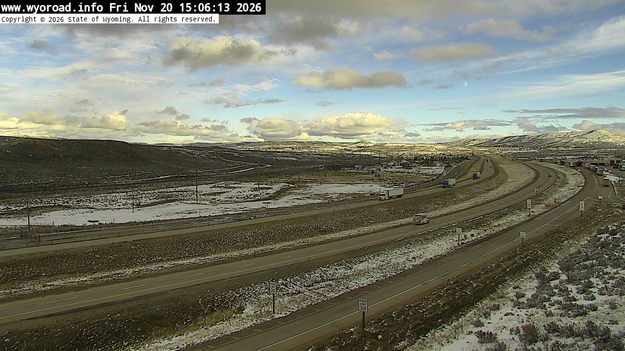
another view
MM 0.06
another view
MM 0.06
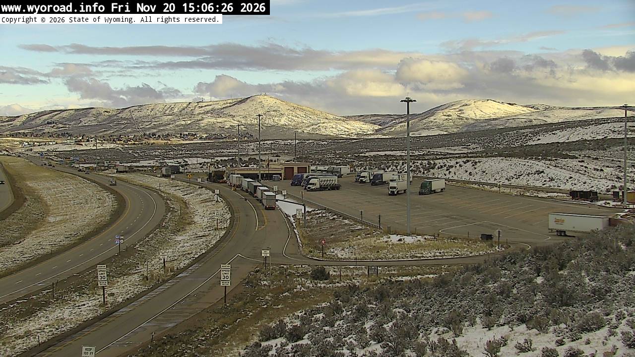
 JamJumper