Weather at the camera now: 58°F, cloudy, calm. Dark until sunrise at . Open-Meteo forecast for this spot,
On JamJumper since November 2026. Camera by Caltrans.
CA-261 (Eastern Toll Road) at south of Handy Creek in Orange, California. The camera looks south.
Orange County Traffic cameras: every highway cam in the area, by road ›
Orange - CA-261 southbound south of Handy Creek, Orange - View south

Along CA-261
 south of Santiago Cyn RdCA-261 · Northsouth of Handy CreekCA-261 · South
 1900 Meters North of Portola Parkway (West) OvercrossCA-261 · North
 940 Meters North of Portola Parkway (West) OvercrossCA-261 · North
 80 Meters South of Portola Parkway (West) OvercrossCA-261 · North
 370 Meters North of Irvine Boulevard Northbound Toll PlazaCA-261 · North
 70 Meters South of Irvine Boulevard OvercrossCA-261 · North
 100 Meters South of Bryan Avenue OvercrossCA-261 · North
 200 Meters South of I-5CA-261 · South
Cams nearby
 230 Meters south of Santiago Canyon Road OvercrossCA-241 · North · 1 mi
 900 Meters north of Santiago 1 Canyon Road OvercrossCA-241 · North · 1 mi
 2600 Meters North of Santiago Canyon Road OvercrossCA-241 · North · 2 mi
 1700 Meters North of Santiago 2 Canyon Road OvercrossCA-241 · North · 2 mi
 Oak 2000 Meters South of Windy Ridge Toll PlazaCA-241 · North · 3 mi
 920 Meters South of Windy Toll PlazaCA-241 · North · 4 mi
 800 Meters south of Haul RoadCA-241 · North · 4 mi
 Route 22CA-55 · South · 4 mi
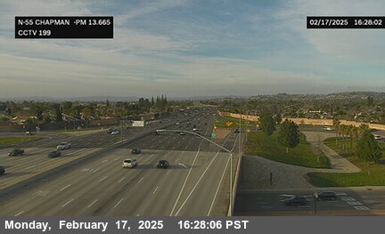 Chapman AvenueCA-55 · North · 4 mi
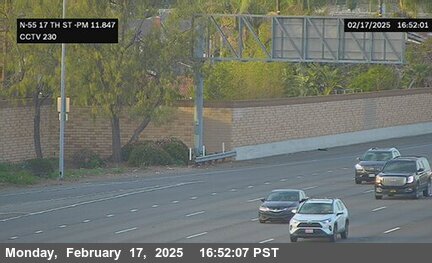 17th StreetCA-55 · North · 4 mi
 JamJumper