 JamJumper
- All USA ›
- All West: 11,196 cams ›
- California2,661
- Utah2,063
- Washington1,470
- Colorado1,348
- Wyoming764
- Oregon714
- Arizona587
- Nevada526
- Idaho446
- Montana429
- New Mexico169
- Alaska19
Traffic cams across Orange County from Caltrans: I-5, I-405, SR-22, SR-55, SR-57, SR-73, SR-91 and the toll roads
California State Route 57 · Rowland Heights, CA
Rowland Heights - CA-57 northbound north of Tonner Canyon Road, Rowland Heights - View north - MM 11.45 521 ft

California State Route 57 · Brea, CA
Brea - CA-57 northbound south of Tonner Canyon Road, Brea - View north - MM 10.92 531 ft

California State Route 57 · Brea, CA
Brea - CA-57 at Lambert, Brea - MM 10.934 570 ft
California State Route 57 · Brea, CA
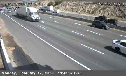
Brea - CA-57 northbound at Lambert Street, Brea - View north - MM 10.18 459 ft

California State Route 57 · Brea, CA
Brea - CA-57 northbound at Lambert Road / Birch, Brea - View north - MM 10.168 436 ft

California State Route 57 · Brea, CA
Brea - CA-57 northbound north of Birch, Brea - View north - MM 9.67 383 ft

California State Route 57 · Fullerton, CA
Fullerton - CA-57 northbound at SR-90, Fullerton - View north - MM 8.989 305 ft

California State Route 57 · Fullerton, CA
Fullerton - CA-57 northbound at Rolling Hills Road Undercross, Fullerton - View north - MM 8.61 354 ft

California State Route 57 · Placentia, CA
Placentia - CA-57 southbound at Orangethorpe, Placentia - View south - MM 5.676 213 ft

California State Route 57 · Placentia, CA
Placentia - CA-57 northbound at Orangethorpe, Placentia - View north - MM 5.666 213 ft

California State Route 57 · Anaheim, CA
Anaheim - CA-57 southbound at SB Lincoln 2, Anaheim - View south - MM 4.114 190 ft
California State Route 57 · Anaheim, CA
Anaheim - CA-57 northbound at Lincoln, Anaheim - View north - MM 4.108 190 ft

California State Route 57 · Anaheim, CA
Anaheim - CA-57 northbound at Lincoln, Anaheim - View north - MM 4.108 190 ft

California State Route 57 · Anaheim, CA
Anaheim - CA-57 southbound at Lincoln, Anaheim - View south - MM 4.067 209 ft

California State Route 57 · Anaheim, CA
Anaheim - CA-57 northbound at Lincoln, Anaheim - View north - MM 4.021 203 ft
California State Route 57 · Anaheim, CA
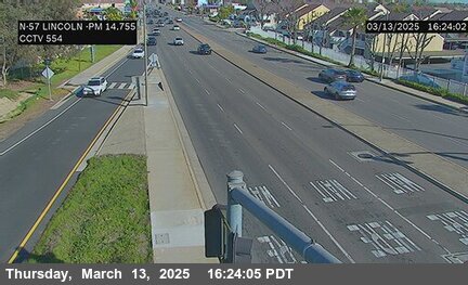
Anaheim - CA-57 northbound north of Wagner Avenue, Anaheim - View north - MM 3.46 196 ft
California State Route 57 · Anaheim, CA
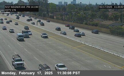
Anaheim - CA-57 northbound south of Wagner, Anaheim - View north - MM 3.141 200 ft

California State Route 57 · Anaheim, CA
Anaheim - CA-57 southbound at Ball, Anaheim - View south - MM 2.696 193 ft

California State Route 57 · Anaheim, CA
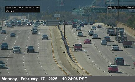
Anaheim - CA-57 northbound at Ball Road, Anaheim - View north - MM 2.66 196 ft
California State Route 57 · Anaheim, CA
Anaheim - CA-57 northbound at Katella, Anaheim - View north - MM 1.821 173 ft
California State Route 57 · Anaheim, CA
Anaheim - CA-57 southbound at Katella, Anaheim - View south - MM 1.793 170 ft

California State Route 57 · Anaheim, CA
Anaheim - CA-57 northbound at Katella, Anaheim - View north - MM 1.786 170 ft

California State Route 57 · Anaheim, CA
Anaheim - CA-57 northbound at Katella Avenue, Anaheim - View north - MM 1.71 170 ft
California State Route 57 · Orange, CA
Orange - CA-57 northbound at Orangewood, Orange - View north - MM 1.097 177 ft

California State Route 57 · Orange, CA
Orange - CA-57 southbound at Orangewood, Orange - View south - MM 1.058 177 ft

California State Route 57 · Orange, CA
Orange - CA-57 northbound at Orangewood Avenue on-ramp, Orange - View north - MM 1.02 167 ft
California State Route 57 · Orange, CA
Orange - CA-57 southbound at Chapman (Orange), Orange - View south - MM 0.696 144 ft

California State Route 57 · Orange, CA
Orange - CA-57 northbound at Chapman Avenue (Orange), Orange - View north - MM 0.58 154 ft
California State Route 57 · Orange, CA
Orange - CA-57 southbound at Chapman, Orange - View south - MM 0.504 167 ft

California State Route 57 · Orange, CA
Orange - CA-57 northbound at Chapman, Orange - View north - MM 0.502 167 ft

California State Route 57 · Orange, CA
Orange - CA-57 westbound at SR-22, Orange - View west - MM 0.206 160 ft
California State Route 90 · Fullerton, CA
Fullerton - CA-90 westbound at Harbor Blvd NW Corner, Fullerton - View west - MM 5.331 295 ft

California State Route 90 · La Habra, CA
La Habra - CA-90 westbound at Walmart Drwy NE Corner, La Habra - View west - MM 5.22 291 ft

California State Route 90 · La Habra, CA
La Habra - CA-90 westbound at Idaho St NW Corner, La Habra - View west - MM 3.821 242 ft

California State Route 90 · La Habra, CA
La Habra - CA-90 westbound at Leslie St NW Corner, La Habra - View west - MM 4.937 288 ft

California State Route 90 · La Habra, CA
La Habra - CA-90 westbound at Market Place NW Corner, La Habra - View west - MM 3.468 229 ft

California State Route 90 · Brea, CA
Brea - CA-90 westbound at Gateway Center NE Corner, Brea - View west - MM 7.094 370 ft

California State Route 90 · Brea, CA
Brea - CA-90 eastbound at Puente, Brea - View east - MM 6.335 337 ft

California State Route 90 · Fullerton, CA
Fullerton - CA-90 eastbound at Palm St SE Corner, Fullerton - View east - MM 5.833 308 ft

California State Route 90 · La Habra, CA
La Habra - CA-90 westbound at Walnut, La Habra - View west - MM 4.246 269 ft

California State Route 90 · Brea, CA
Brea - CA-90 eastbound at Berry St SE Corner, Brea - View east - MM 6.846 334 ft

California State Route 90 · La Habra, CA
La Habra - CA-90 eastbound at Euclid St SE Corner, La Habra - View east - MM 4.596 269 ft

California State Route 90 · La Habra, CA
La Habra - CA-90 westbound at Beach Blvd NW Corner, La Habra - View west - MM 3.336 229 ft

California State Route 90 · Brea, CA
Brea - CA-90 westbound at Brea Blvd NW Corner, Brea - View west - MM 7.2 367 ft

California State Route 90 · Brea, CA
Brea - CA-90 eastbound at Randolph Ave SE Corner, Brea - View east - MM 7.91 337 ft

California State Route 90 · Brea, CA
Brea - CA-90 eastbound at State College SE Corner, Brea - View east - MM 8.026 334 ft

California State Route 90 · Brea, CA
Brea - CA-90 westbound at Associated Rd NW Corner, Brea - View west - MM 8.459 331 ft

California State Route 90 · Brea, CA
Brea - CA-90 eastbound at SR-57 Sb Or Se Corner, Brea - View east - MM 8.163 334 ft

California State Route 90 · Brea, CA
Brea - CA-90 eastbound at Kraemer Blvd SE Corner, Brea - View east - MM 9.412 377 ft

California State Route 90 · Brea, CA
Brea - CA-90 eastbound at Shopping Ctr SE Corner, Brea - View east - MM 9.064 354 ft

California State Route 90 · Brea, CA
Brea - CA-90 eastbound at Placentia Ave SE Corner, Brea - View east - MM 8.762 374 ft

California State Route 90 · Fullerton, CA
Fullerton - CA-90 eastbound at SR-57 Nb Or Se Corner, Fullerton - View east - MM 8.38 331 ft

California State Route 90 · Brea, CA
Brea - CA-90 westbound at Valencia Ave NW Corner, Brea - View west - MM 10.078 396 ft

I-5 · Buena Park, CA
Buena Park - I-5 southbound south of Artesia Boulevard, Buena Park - View south - MM 116.228 88 ft

I-5 · Buena Park, CA
Buena Park - I-5 northbound at Artesia, Buena Park - View north - MM 116.233 85 ft

I-5 · Buena Park, CA
Buena Park - I-5 northbound north of Beach Boulevard, Buena Park - View north - MM 115.63 75 ft

I-5 · Buena Park, CA
Buena Park - I-5 southbound at Beach, Buena Park - View south - MM 115.442 78 ft

I-5 · Buena Park, CA
Buena Park - I-5 northbound at Auto Center, Buena Park - View north - MM 115.119 78 ft

I-5 · Buena Park, CA
Buena Park - I-5 northbound at Manchester Avenue (South of Stanton), Buena Park - View north - MM 115.05 88 ft

I-5 · Buena Park, CA
Buena Park - I-5 northbound north of Orangethorpe Boulevard, Buena Park - View north - MM 114.71 91 ft

I-5 · Buena Park, CA
Buena Park - I-5 northbound at Orangethorpe, Buena Park - View north - MM 114.73 88 ft

I-5 · Fullerton, CA
Fullerton - I-5 southbound north of Magnolia Avenue (South Of SR-91), Fullerton - View south - MM 114.08 108 ft

I-5 · Fullerton, CA
Fullerton - I-5 northbound at Magnolia & Buckingham, Fullerton - View north - MM 113.916 104 ft

I-5 · Fullerton, CA
Fullerton - I-5 southbound at Magnolia, Fullerton - View south - MM 113.899 114 ft

I-5 · Anaheim, CA
Anaheim - I-5 northbound at Magnolia Avenue, Anaheim - View north - MM 113.739 101 ft

I-5 · Anaheim, CA
Anaheim - I-5 northbound at Gilbert Street, Anaheim - View north - MM 113.4 111 ft

I-5 · Anaheim, CA
Anaheim - I-5 northbound at Brookhurst Street, Anaheim - View north - MM 112.74 124 ft

I-5 · Anaheim, CA
Anaheim - I-5 southbound at Brookhurst on-ramp, Anaheim - View south - MM 112.765 121 ft
I-5 · Anaheim, CA
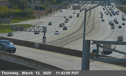
Anaheim - I-5 northbound at Crescent, Anaheim - View north - MM 112.02 131 ft

I-5 · Anaheim, CA
Anaheim - I-5 northbound at Euclid, Anaheim - View north - MM 111.584 137 ft

I-5 · Anaheim, CA
Anaheim - I-5 northbound at Euclid Avenue, Anaheim - View north - MM 111.49 141 ft

I-5 · Anaheim, CA
Anaheim - I-5 northbound north of Lincoln, Anaheim - View north - MM 111.176 144 ft

I-5 · Anaheim, CA
Anaheim - I-5 northbound at Lincoln Avenue, Anaheim - View north - MM 110.99 131 ft

I-5 · Anaheim, CA
Anaheim - I-5 northbound at Lincoln & Wilshire, Anaheim - View north - MM 110.916 144 ft

I-5 · Anaheim, CA
Anaheim - I-5 southbound at Lincoln Ave, Anaheim - View south - MM 111.049 141 ft

I-5 · Anaheim, CA
Anaheim - I-5 southbound at Lincoln & Manchester, Anaheim - View south - MM 110.93 131 ft

I-5 · Anaheim, CA
Anaheim - I-5 northbound at Disneyland Dr., Anaheim - View north - MM 110.28 137 ft

I-5 · Anaheim, CA
Anaheim - I-5 southbound at Disneyland off-ramp, Anaheim - View south - MM 110.025 131 ft

I-5 · Anaheim, CA
Anaheim - I-5 northbound at Ball, Anaheim - View north - MM 109.699 150 ft

I-5 · Anaheim, CA
Anaheim - I-5 northbound at Harbor, Anaheim - View north - MM 109.495 150 ft

I-5 · Anaheim, CA
Anaheim - I-5 northbound at Harbor Boulevard, Anaheim - View north - MM 109.39 144 ft

I-5 · Anaheim, CA
Anaheim - I-5 southbound at Harbor, Anaheim - View south - MM 109.366 144 ft

I-5 · Anaheim, CA
Anaheim - I-5 northbound at Anaheim Boulevard, Anaheim - View north - MM 108.82 150 ft

I-5 · Anaheim, CA
Anaheim - I-5 southbound at Disney Way, Anaheim - View south - MM 108.674 150 ft

I-5 · Anaheim, CA
Anaheim - I-5 southbound at Anaheim & Manchester, Anaheim - View south - MM 108.566 150 ft

I-5 · Anaheim, CA
Anaheim - I-5 northbound at Katella & Anaheim Way, Anaheim - View north - MM 108.297 134 ft

I-5 · Anaheim, CA
Anaheim - I-5 northbound at Katella & Manchester, Anaheim - View north - MM 108.335 150 ft

I-5 · Anaheim, CA
Anaheim - I-5 northbound at Katella Avenue, Anaheim - View north - MM 108.22 150 ft

I-5 · Anaheim, CA
Anaheim - I-5 northbound at Gene Autry, Anaheim - View north - MM 108.024 147 ft

I-5 · Orange, CA
Orange - I-5 southbound at Orangewood Avenue, Orange - View south - MM 107.65 147 ft

I-5 · Orange, CA
Orange - I-5 northbound at State College & Orange Center, Orange - View north - MM 107.338 137 ft

I-5 · Orange, CA
Orange - I-5 northbound at State College & Anaheim, Orange - View north - MM 107.295 137 ft

I-5 · Orange, CA
Orange - I-5 northbound at State College Boulevard, Orange - View north - MM 107.23 150 ft

I-5 · Orange, CA
Orange - I-5 northbound just south of SR-57/SR-22, Orange - View north - MM 107.246 154 ft

I-5 · Orange, CA
Orange - I-5 southbound at State College & City Drive, Orange - View south - MM 107.183 141 ft

I-5 · Orange, CA
Orange - I-5 southbound at Chapman ramp, Orange - View south - MM 107.01 141 ft

I-5 · Orange, CA
Orange - I-5 northbound at Chapman & Rampart, Orange - View north - MM 107.013 150 ft

I-5 · Orange, CA
Orange - I-5 northbound at Chapman Ave, Orange - View north - MM 106.95 147 ft

I-5 · Orange, CA
Orange - I-5 southbound just south of SR-57/SR-22, Orange - View south - MM 106.655 134 ft

I-5 · Santa Ana, CA
Santa Ana - I-5 southbound at SR-11, Santa Ana - View south - MM 106.35 141 ft

I-5 · Orange, CA
Orange - I-5 southbound at La Veta, Orange - View south - MM 106.18 147 ft

I-5 · Santa Ana, CA
Santa Ana - I-5 northbound at SR-22, Santa Ana - View north - MM 105.99 137 ft
I-5 · Santa Ana, CA
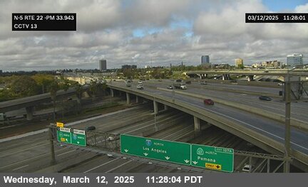
Santa Ana - I-5 southbound at Broadway, Santa Ana - View south - MM 105.34 157 ft

I-5 · Santa Ana, CA
Santa Ana - I-5 southbound at Main & Edgewood, Santa Ana - View south - MM 105.216 154 ft

I-5 · Santa Ana, CA
Santa Ana - I-5 southbound at Main & Santa Carla, Santa Ana - View south - MM 105.041 150 ft

I-5 · Santa Ana, CA
Santa Ana - I-5 southbound at Main & Buffalo, Santa Ana - View south - MM 104.952 154 ft

I-5 · Santa Ana, CA
Santa Ana - I-5 southbound at 17th Street (7th), Santa Ana - View south - MM 104.49 170 ft

I-5 · Santa Ana, CA
Santa Ana - I-5 southbound at Grand Avenue, Santa Ana - View south - MM 103.85 154 ft

I-5 · Santa Ana, CA
Santa Ana - I-5 northbound at 4th Street, Santa Ana - View north - MM 103.16 154 ft

I-5 · Tustin, CA
Tustin - I-5 northbound at SR-55, Tustin - View north - MM 102.37 141 ft

I-5 · Lake Forest, CA
Lake Forest - I-5 northbound north of El Toro (Carlota), Lake Forest - View north - MM 91.19 347 ft

I-5 · Lake Forest, CA
Lake Forest - I-5 northbound at El Toro Road, Lake Forest - View north - MM 90.61 370 ft

I-5 · Lake Forest, CA
Lake Forest - I-5 southbound at El Toro/Los Alisos, Lake Forest - View south - MM 90.131 390 ft

I-5 · Laguna Hills, CA
Laguna Hills - I-5 southbound at Los Alisos, Laguna Hills - View south - MM 90.068 396 ft

I-5 · Mission Viejo, CA
Mission Viejo - I-5 northbound at Alicia Parkway On, Mission Viejo - View north - MM 89.54 413 ft

I-5 · Laguna Hills, CA
Laguna Hills - I-5 southbound at Alicia Parkway, Laguna Hills - View south - MM 89.627 393 ft

I-5 · Mission Viejo, CA
Mission Viejo - I-5 northbound north of La Paz Road (South of Alicia), Mission Viejo - View north - MM 89.08 413 ft

I-5 · Mission Viejo, CA
Mission Viejo - I-5 northbound at La Paz Road, Mission Viejo - View north - MM 88.59 400 ft

I-5 · Mission Viejo, CA
Mission Viejo - I-5 northbound north of Oso Parkway, Mission Viejo - View north - MM 87.84 403 ft

I-5 · Mission Viejo, CA
Mission Viejo - I-5 northbound at Oso Parkway Overcross, Mission Viejo - View north - MM 87.25 387 ft

I-5 · Mission Viejo, CA
Mission Viejo - I-5 southbound at Crown Valley, Mission Viejo - View south - MM 86.528 308 ft

I-5 · Mission Viejo, CA
Mission Viejo - I-5 northbound at Crown Valley Parkway, Mission Viejo - View north - MM 85.81 308 ft

I-5 · Mission Viejo, CA
Mission Viejo - I-5 northbound at Avery Parkway, Mission Viejo - View north - MM 85.08 262 ft

I-5 · San Juan Capistrano, CA
San Juan Capistrano - I-5 northbound at SR73, San Juan Capistrano - View north - MM 84 242 ft

I-5 · San Juan Capistrano, CA
San Juan Capistrano - I-5 northbound at Junipero Serra Road, San Juan Capistrano - View north - MM 83.07 223 ft

I-5 · San Juan Capistrano, CA
San Juan Capistrano - I-5 northbound at J.Serra, San Juan Capistrano - View north - MM 83.091 223 ft

I-5 · San Juan Capistrano, CA
San Juan Capistrano - I-5 southbound at Ortega Hwy, San Juan Capistrano - View south - MM 82.243 216 ft

I-5 · San Juan Capistrano, CA
San Juan Capistrano - I-5 northbound at Ortega Highway, San Juan Capistrano - View north - MM 81.75 154 ft

I-5 · San Juan Capistrano, CA
San Juan Capistrano - I-5 northbound south of Ortega Highway (San Juan Creek), San Juan Capistrano - View north - MM 81.3 108 ft

I-5 · San Juan Capistrano, CA
San Juan Capistrano - I-5 northbound at Valle Road On (San Juan Creek), San Juan Capistrano - View north - MM 80.67 108 ft
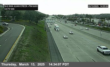
I-5 · San Juan Capistrano, CA
San Juan Capistrano - I-5 northbound at Avenida Aeropuerto, San Juan Capistrano - View north - MM 80 85 ft
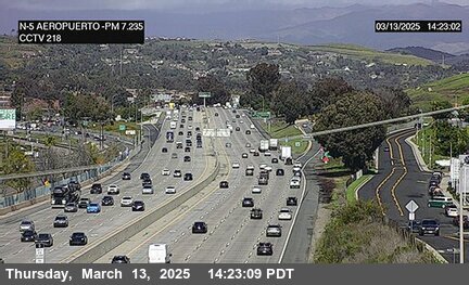
I-5 · San Juan Capistrano, CA
San Juan Capistrano - I-5 northbound north of Stonehill Dr, San Juan Capistrano - View north - MM 79.5 121 ft

I-5 · San Juan Capistrano, CA
San Juan Capistrano - I-5 northbound south of Stonehill, San Juan Capistrano - View north - MM 79.28 121 ft
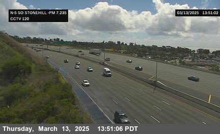
I-5 · San Juan Capistrano, CA
San Juan Capistrano - I-5 northbound at Las Ramblas, San Juan Capistrano - View north - MM 78.99 170 ft
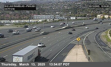
I-5 · Dana Point, CA
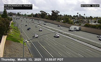
Dana Point - I-5 northbound at Sacramento, Dana Point - View north - MM 78.32 216 ft
I-5 · Dana Point, CA
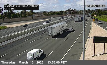
Dana Point - I-5 northbound at Camino De Estrella On, Dana Point - View north - MM 77.9 236 ft
I-5 · San Clemente, CA
San Clemente - I-5 southbound at El Camino Real, San Clemente - View south - MM 76.822 173 ft

I-5 · San Clemente, CA
San Clemente - I-5 southbound north of Vista Hermosa, San Clemente - View south - MM 76.743 173 ft

I-5 · San Clemente, CA
San Clemente - I-5 northbound south of Avenida Vaquero On, San Clemente - View north - MM 76.8 173 ft

I-5 · San Clemente, CA
San Clemente - I-5 northbound at Vista Hermosa, San Clemente - View north - MM 75.88 187 ft

I-5 · San Clemente, CA
San Clemente - I-5 northbound at Pico, San Clemente - View north - MM 75.53 183 ft

I-5 · San Clemente, CA
San Clemente - I-5 northbound at Avenida Palizada On, San Clemente - View north - MM 74.8 252 ft

I-5 · San Clemente, CA
San Clemente - I-5 northbound at Presidio Drive On, San Clemente - View north - MM 74.46 272 ft

I-5 · San Clemente, CA
San Clemente - I-5 northbound at El Camino Real, San Clemente - View north - MM 74.21 288 ft

I-5 · San Clemente, CA
San Clemente - I-5 northbound at Mendecino, San Clemente - View north - MM 73.27 187 ft

California State Route 241 · Anaheim, CA
Anaheim - CA-241 northbound at SR-91, Anaheim - View north - MM 24.36 485 ft

California State Route 241 · Anaheim, CA
Anaheim - CA-241 northbound at SR-91 -241Connector, Anaheim - View north - MM 24.18 538 ft

California State Route 241 · Anaheim, CA
Anaheim - CA-241 northbound 1100 Meters South of SR-91, Anaheim - View north - MM 23.68 679 ft

California State Route 241 · Anaheim, CA
Anaheim - CA-241 northbound 2300 Meters North of Windy WUC Ridge Toll Plaza, Anaheim - View north - MM 22.95 898 ft

California State Route 241 · Anaheim, CA
Anaheim - CA-241 northbound 920 Meters South of Windy Toll Plaza, Anaheim - View north - MM 20.95 1,128 ft

California State Route 241 · Orange, CA
Orange - CA-241 northbound at Oak 2000 Meters South of Windy Ridge Toll Plaza, Orange - View north - MM 20.25 882 ft

California State Route 241 · Orange, CA
Orange - CA-241 northbound 1700 Meters North of Santiago 2 Canyon Road Overcross, Orange - View north - MM 19.48 721 ft

California State Route 241 · Orange, CA
Orange - CA-241 northbound 2600 Meters North of Santiago Canyon Road Overcross, Orange - View north - MM 18.935 793 ft

California State Route 241 · Orange, CA
Orange - CA-241 northbound 900 Meters north of Santiago 1 Canyon Road Overcross, Orange - View north - MM 18.46 764 ft

California State Route 241 · Orange, CA
Orange - CA-241 northbound 230 Meters south of Santiago Canyon Road Overcross, Orange - View north - MM 17.89 790 ft

California State Route 241 · Irvine, CA
Irvine - CA-241 northbound 800 Meters south of Haul Road, Irvine - View north - MM 13.65 698 ft

California State Route 241 · Irvine, CA
Irvine - CA-241 northbound 50 Meters south of Bee Canyon Road, Irvine - View north - MM 12.94 600 ft

California State Route 241 · Irvine, CA
Irvine - CA-241 northbound 750 Meters south of Bee Canyon Road, Irvine - View north - MM 12.52 551 ft

California State Route 241 · Irvine, CA
Irvine - CA-241 northbound north of Tomato Toll, Irvine - View north - MM 11.74 606 ft

California State Route 241 · Irvine, CA
Irvine - CA-241 northbound 40 Meters North of Portola Parkway, Irvine - View north - MM 10.46 698 ft

California State Route 241 · Irvine, CA
Irvine - CA-241 northbound 780 Meters South of Portola Parkway Overcross, Irvine - View north - MM 9.88 731 ft

California State Route 241 · Lake Forest, CA
Lake Forest - CA-241 northbound at Alton Pkwy, Lake Forest - View north - MM 8.84 770 ft

California State Route 241 · Lake Forest, CA
Lake Forest - CA-241 northbound 310 Meters North of Bake Parkway Overcross, Lake Forest - View north - MM 8.38 784 ft

California State Route 241 · Lake Forest, CA
Lake Forest - CA-241 northbound 40 Meters south of Lake Forestreet Drive Undercross, Lake Forest - View north - MM 7.88 787 ft

California State Route 241 · Lake Forest, CA
Lake Forest - CA-241 northbound 80 Meters South of Portola Parkway Undercross, Lake Forest - View north - MM 7.25 810 ft

California State Route 241 · Mission Viejo, CA
Mission Viejo - CA-241 northbound at Aliso Creek 50 Meters South of El Toro Road Undercross, Mission Viejo - View north - MM 6.37 925 ft

California State Route 241 · Rancho Santa Margarita, CA
Rancho Santa Margarita - CA-241 northbound at Los Alisos Boulevard, Rancho Santa Margarita - View north - MM 5.51 1,040 ft

California State Route 241 · Rancho Santa Margarita, CA
Rancho Santa Margarita - CA-241 northbound 30 Meters South of Melinda Road Undercross, Rancho Santa Margarita - View north - MM 4.71 1,026 ft

California State Route 241 · Rancho Santa Margarita, CA
Rancho Santa Margarita - CA-241 northbound at S Margarita Pkw, Rancho Santa Margarita - View north - MM 3.98 958 ft

California State Route 241 · Rancho Santa Margarita, CA
Rancho Santa Margarita - CA-241 northbound at Banderas 530 Meters North of Antonio Parkway Undercross, Rancho Santa Margarita - View north - MM 3.46 961 ft

California State Route 241 · Rancho Santa Margarita, CA
Rancho Santa Margarita - CA-241 northbound north of Antonio Parkway Overcross, Rancho Santa Margarita - View north - MM 3.02 931 ft

California State Route 91 · Fullerton, CA
Fullerton - CA-91 westbound at Magnolia, Fullerton - View west - MM 18.612 104 ft

California State Route 91 · Fullerton, CA
Fullerton - CA-91 westbound at Magnolia St, Fullerton - View west - MM 18.627 104 ft
California State Route 91 · Buena Park, CA
Buena Park - CA-91 eastbound at E-91 Valley View, Buena Park - View east - MM 15.605 62 ft

California State Route 91 · Buena Park, CA
Buena Park - CA-91 southbound at Stanton Avenue, Buena Park - View south - MM 17.75 91 ft
California State Route 91 · Buena Park, CA
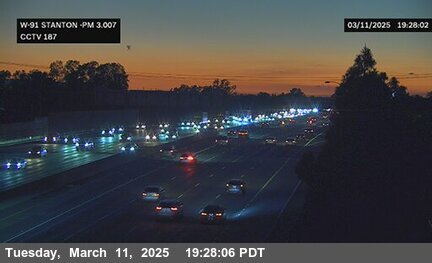
Buena Park - CA-91 eastbound at Valley View, Buena Park - View east - MM 15.62 62 ft
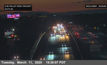
California State Route 91 · Buena Park, CA
Buena Park - CA-91 southbound at Beach Boulevard, Buena Park - View south - MM 17.41 85 ft
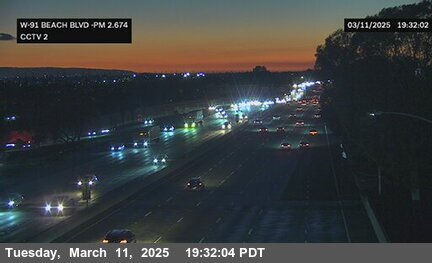
California State Route 91 · Buena Park, CA
Buena Park - CA-91 eastbound at Knott, Buena Park - View east - MM 16.54 85 ft
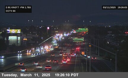
California State Route 91 · Fullerton, CA
Fullerton - CA-91 westbound at Gilbert Street, Fullerton - View west - MM 19.02 121 ft

California State Route 91 · Anaheim, CA
Anaheim - CA-91 westbound at State College, Anaheim - View west - MM 23.647 200 ft

California State Route 91 · Anaheim, CA
Anaheim - CA-91 eastbound at Lemon St, Anaheim - View east - MM 21.885 164 ft
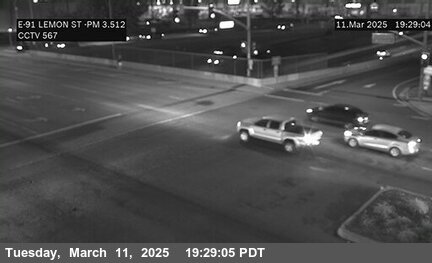
California State Route 91 · Anaheim, CA
Anaheim - CA-91 westbound at Lemon St, Anaheim - View west - MM 21.886 164 ft
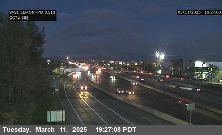
California State Route 91 · Anaheim, CA
Anaheim - CA-91 eastbound at Euclid St, Anaheim - View east - MM 20.616 137 ft
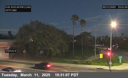
California State Route 91 · Anaheim, CA
Anaheim - CA-91 westbound at Euclid St, Anaheim - View west - MM 20.617 137 ft
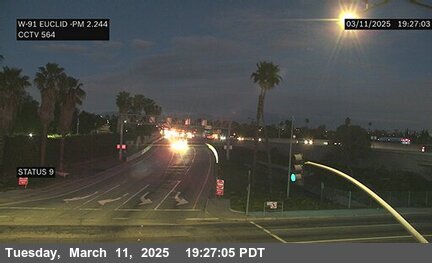
California State Route 91 · Anaheim, CA
Anaheim - CA-91 eastbound at Euclid Avenue, Anaheim - View east - MM 20.73 144 ft

California State Route 91 · Anaheim, CA
Anaheim - CA-91 westbound at Brookhurst, Anaheim - View west - MM 19.69 121 ft

California State Route 91 · Anaheim, CA
Anaheim - CA-91 eastbound at Brookhurst St, Anaheim - View east - MM 19.616 111 ft
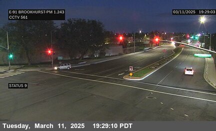
California State Route 91 · Anaheim, CA
Anaheim - CA-91 westbound at Brookhurst St, Anaheim - View west - MM 19.618 111 ft
California State Route 91 · Anaheim, CA
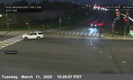
Anaheim - CA-91 eastbound at Brookhurst Street, Anaheim - View east - MM 19.543 121 ft

California State Route 91 · Anaheim, CA
Anaheim - CA-91 westbound at Harbor Blvd, Anaheim - View west - MM 21.633 157 ft
California State Route 91 · Anaheim, CA
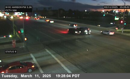
Anaheim - CA-91 eastbound at Harbor Blvd, Anaheim - View east - MM 21.628 157 ft
California State Route 91 · Anaheim, CA
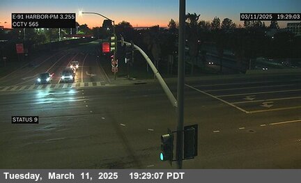
Anaheim - CA-91 eastbound at East St, Anaheim - View east - MM 22.637 177 ft
California State Route 91 · Anaheim, CA
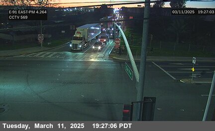
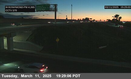
Anaheim - CA-91 westbound at Raymond Ave, Anaheim - View west - MM 22.638 177 ft
California State Route 91 · Anaheim, CA
Anaheim - CA-91 eastbound at Lemon Street, Anaheim - View east - MM 22.238 170 ft

California State Route 91 · Anaheim, CA
Anaheim - CA-91 eastbound at Harbor Boulevard, Anaheim - View east - MM 21.53 150 ft

California State Route 91 · Anaheim, CA
Anaheim - CA-91 eastbound east of Glassell Street, Anaheim - View east - MM 26.188 229 ft
California State Route 91 · Anaheim, CA
Anaheim - CA-91 westbound at Route 57, Anaheim - View west - MM 24.513 236 ft

California State Route 91 · Anaheim, CA
Anaheim - CA-91 westbound at Kreamer Boulevard, Anaheim - View west - MM 25.643 216 ft

California State Route 91 · Anaheim, CA
Anaheim - CA-91 westbound at La Palma, Anaheim - View west - MM 25.099 223 ft

California State Route 91 · Anaheim, CA
Anaheim - CA-91 eastbound at Route 55 (HM Pole), Anaheim - View east - MM 27.416 288 ft

California State Route 91 · Anaheim, CA
Anaheim - CA-91 eastbound at Route 55 (RSU pole), Anaheim - View east - MM 27.418 288 ft

California State Route 39 · Buena Park, CA
Buena Park - CA-39 westbound at Beach Blvd, Buena Park - View west 91 ft
California State Route 39 · Buena Park, CA
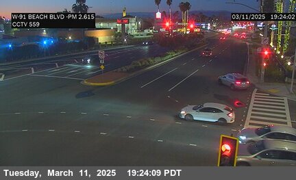
Buena Park - CA-39 eastbound at Beach Blvd, Buena Park - View east 78 ft

California State Route 39 · Garden Grove, CA
Garden Grove - CA-39 southbound at Beach Blvd @ 22 W/B On-Off Ramps, Garden Grove - View south 62 ft

California State Route 55 · Orange, CA
Orange - CA-55 northbound at Lincoln Park and Ride 1, Orange - View north - MM 16.92 331 ft

California State Route 55 · Orange, CA
Orange - CA-55 northbound at Lincoln Park and Ride 2, Orange - View north - MM 16.85 318 ft

California State Route 55 · Orange, CA
Orange - CA-55 northbound south of Lincoln, Orange - View north - MM 16.53 295 ft

California State Route 55 · Orange, CA
Orange - CA-55 northbound south of Meats Avenue, Orange - View north - MM 15.81 269 ft

California State Route 55 · Orange, CA
Orange - CA-55 northbound at SR-91 Interchange, Orange - View north - MM 15.814 269 ft

California State Route 55 · Orange, CA
Orange - CA-55 northbound at Katella Avenue, Orange - View north - MM 15.03 265 ft

California State Route 55 · Orange, CA
Orange - CA-55 southbound at SR-91 Interchange, Orange - View south - MM 14.97 269 ft

California State Route 55 · Orange, CA
Orange - CA-55 northbound at Collins Avenue, Orange - View north - MM 14.51 275 ft

California State Route 55 · Orange, CA
Orange - CA-55 northbound at Walnut Street, Orange - View north - MM 14.02 259 ft

California State Route 55 · Orange, CA
Orange - CA-55 southbound at Chapman, Orange - View south - MM 13.612 360 ft

California State Route 55 · Orange, CA
Orange - CA-55 northbound at Chapman Avenue, Orange - View north - MM 13.48 262 ft

California State Route 55 · Orange, CA
Orange - CA-55 southbound at Route 22, Orange - View south - MM 14.69 226 ft

California State Route 55 · Tustin, CA
Tustin - CA-55 northbound at 17th Street, Tustin - View north - MM 11.66 177 ft

California State Route 55 · Tustin, CA
Tustin - CA-55 northbound at 4th Street, Tustin - View north - MM 10.85 164 ft

California State Route 55 · Santa Ana, CA
Santa Ana - CA-55 northbound at Warner, Santa Ana - View north - MM 8.329 72 ft

California State Route 55 · Santa Ana, CA
Santa Ana - CA-55 northbound at MacArthur, Santa Ana - View north - MM 6.9 52 ft

California State Route 55 · Costa Mesa, CA
Costa Mesa - CA-55 southbound at I-405 a, Costa Mesa - View south - MM 5.81 55 ft
California State Route 55 · Costa Mesa, CA
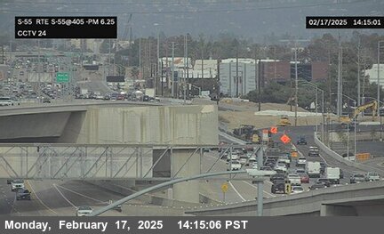
Costa Mesa - CA-55 northbound at I-405, Costa Mesa - View north - MM 5.81 55 ft
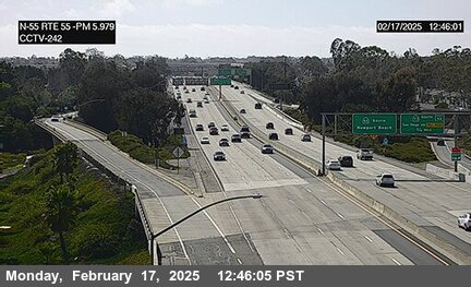
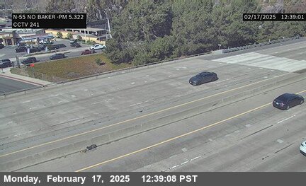
California State Route 55 · Costa Mesa, CA
Costa Mesa - CA-55 northbound north of Baker Street, Costa Mesa - View north - MM 5.15 59 ft
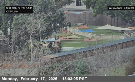
California State Route 55 · Costa Mesa, CA
Costa Mesa - CA-55 northbound at SR-73, Costa Mesa - View north - MM 4.46 49 ft
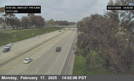
California State Route 55 · Costa Mesa, CA
Costa Mesa - CA-55 southbound at Del Mar Avenue Exit, Costa Mesa - View south - MM 4.13 59 ft
California State Route 55 · Costa Mesa, CA
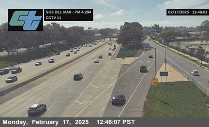
Costa Mesa - CA-55 southbound at Del Mar Avenue, Costa Mesa - View south - MM 3.67 68 ft
California State Route 55 · Costa Mesa, CA
Costa Mesa - CA-55 northbound at Wilson Street, Costa Mesa - View north - MM 3.06 82 ft

I-405 · Seal Beach, CA
Seal Beach - I-405 northbound north of I-605, Seal Beach - View north - MM 23.85 42 ft

I-405 · Seal Beach, CA
Seal Beach - I-405 southbound north of Route 22, Seal Beach - View south - MM 20.63 42 ft

I-405 · Seal Beach, CA
Seal Beach - I-405 northbound at Seal Beach Boulevard, Seal Beach - View north - MM 22.43 36 ft

I-405 · Seal Beach, CA
Seal Beach - I-405 northbound north of SR-22, Seal Beach - View north - MM 21.979 26 ft

I-405 · Seal Beach, CA
Seal Beach - I-405 southbound south of I-605, Seal Beach - View south - MM 23.1 26 ft

I-405 · Westminster, CA
Westminster - I-405 northbound south of SR-22, Westminster - View north - MM 20.39 32 ft

I-405 · Westminster, CA
Westminster - I-405 northbound south of Bolsa Chica, Westminster - View north - MM 19.963 39 ft

I-405 · Westminster, CA
Westminster - I-405 northbound at Westminster - View north - MM 18.96 49 ft

I-405 · Westminster, CA
Westminster - I-405 northbound south of Edwards, Westminster - View north - MM 18.132 49 ft

I-405 · Westminster, CA
Westminster - I-405 southbound north of Edwards, Westminster - View south - MM 18.079 49 ft

I-405 · Westminster, CA
Westminster - I-405 northbound at Goldenwest Avenue, Westminster - View north - MM 17.56 36 ft

I-405 · Westminster, CA
Westminster - I-405 southbound at Beach Blvd, Westminster - View south - MM 16.27 55 ft

I-405 · Westminster, CA
Westminster - I-405 northbound south of Newland Street, Westminster - View north - MM 15.42 39 ft

I-405 · Fountain Valley, CA
Fountain Valley - I-405 northbound south of Magnolia, Fountain Valley - View north - MM 14.67 36 ft

I-405 · Fountain Valley, CA
Fountain Valley - I-405 northbound south of Warner Avenue, Fountain Valley - View north - MM 14.34 45 ft

I-405 · Fountain Valley, CA
Fountain Valley - I-405 northbound at Brookhurst, Fountain Valley - View north - MM 13.617 39 ft

I-405 · Fountain Valley, CA
Fountain Valley - I-405 northbound at Ward, Fountain Valley - View north - MM 12.92 55 ft

I-405 · Fountain Valley, CA
Fountain Valley - I-405 northbound north of Euclid Street, Fountain Valley - View north - MM 12.52 42 ft

I-405 · Costa Mesa, CA
Costa Mesa - I-405 southbound at Harbor, Costa Mesa - View south - MM 11.53 39 ft

I-405 · Costa Mesa, CA
Costa Mesa - I-405 southbound at Harbor off-ramp, Costa Mesa - View south - MM 11.21 36 ft

I-405 · Costa Mesa, CA
Costa Mesa - I-405 northbound at Fairview, Costa Mesa - View north - MM 10.59 42 ft

I-405 · Costa Mesa, CA
Costa Mesa - I-405 northbound at SR-73, Costa Mesa - View north - MM 10.08 45 ft

I-405 · Costa Mesa, CA
Costa Mesa - I-405 southbound at Bristol, Costa Mesa - View south - MM 9.29 49 ft

I-405 · Irvine, CA
Irvine - I-405 southbound at MacArthur, Irvine - View south - MM 7.6 49 ft

I-405 · Irvine, CA
Irvine - I-405 southbound at Jamboree, Irvine - View south - MM 6.67 55 ft

I-405 · Irvine, CA
Irvine - I-405 southbound at Culver, Irvine - View south - MM 5.49 62 ft

I-405 · Irvine, CA
Irvine - I-405 northbound at Jeffrey, Irvine - View north - MM 3.72 131 ft

I-405 · Irvine, CA
Irvine - I-405 southbound at Sand Canyon, Irvine - View south - MM 2.75 147 ft

I-405 · Irvine, CA
Irvine - I-405 southbound at Laguna Canyon, Irvine - View south - MM 1.913 195 ft

I-405 · Irvine, CA
Irvine - I-405 southbound at SR-133, Irvine - View south - MM 1.52 193 ft

I-405 · Irvine, CA
Irvine - I-405 northbound south of Irvine Center Drive, Irvine - View north - MM 0.55 216 ft

California State Route 261 · Orange, CA
Orange - CA-261 northbound south of Santiago Cyn Rd, Orange - View north 662 ft

California State Route 261 · Orange, CA
Orange - CA-261 southbound south of Handy Creek, Orange - View south 662 ft

California State Route 261 · Irvine, CA
Irvine - CA-261 northbound 1900 Meters North of Portola Parkway (West) Overcross, Irvine - View north 416 ft

California State Route 261 · Irvine, CA
Irvine - CA-261 northbound 940 Meters North of Portola Parkway (West) Overcross, Irvine - View north 314 ft

California State Route 261 · Irvine, CA
Irvine - CA-261 northbound 80 Meters South of Portola Parkway (West) Overcross, Irvine - View north 239 ft

California State Route 261 · Irvine, CA
Irvine - CA-261 northbound 370 Meters North of Irvine Boulevard Northbound Toll Plaza, Irvine - View north 157 ft

California State Route 261 · Irvine, CA
Irvine - CA-261 northbound 70 Meters South of Irvine Boulevard Overcross, Irvine - View north 111 ft

California State Route 261 · Irvine, CA
Irvine - CA-261 northbound 100 Meters South of Bryan Avenue Overcross, Irvine - View north 101 ft

California State Route 261 · Irvine, CA
Irvine - CA-261 southbound 200 Meters South of I-5, Irvine - View south 82 ft

California State Route 22 · Orange, CA
Orange - CA-22 westbound at City Drive, Orange - View west - MM 11.23 134 ft
California State Route 22 · Orange, CA
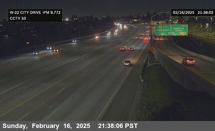
Orange - CA-22 westbound east of I-5, Orange - View west - MM 12.1 147 ft
California State Route 22 · Orange, CA
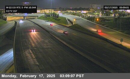
Orange - CA-22 westbound at Main Street, Orange - View west - MM 12.81 177 ft
California State Route 22 · Orange, CA
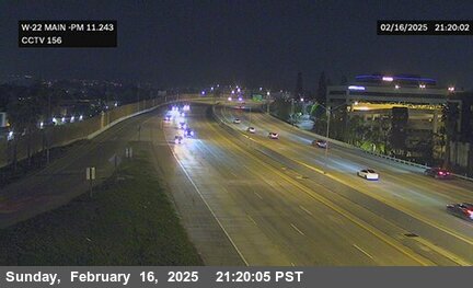
Orange - CA-22 westbound at Cambridge Street, Orange - View west - MM 14.07 206 ft

California State Route 22 · Orange, CA
Orange - CA-22 eastbound at Grand Street, Orange - View east - MM 13.46 196 ft
California State Route 22 · Garden Grove, CA
Garden Grove - CA-22 westbound at Westbound Knott Avenue, Garden Grove - View west - MM 3.98 59 ft
California State Route 22 · Seal Beach, CA
Seal Beach - CA-22 eastbound south of 405, Seal Beach - View east - MM 2.034 26 ft
California State Route 22 · Garden Grove, CA
Garden Grove - CA-22 westbound at Garden Grove/Knott, Garden Grove - View west - MM 4.153 65 ft

California State Route 22 · Garden Grove, CA
Garden Grove - CA-22 eastbound at Valley View Avenue, Garden Grove - View east - MM 2.47 36 ft
California State Route 22 · Garden Grove, CA
Garden Grove - CA-22 eastbound at Los Alisos Street, Garden Grove - View east - MM 2.89 42 ft
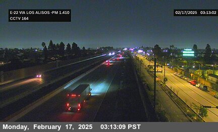
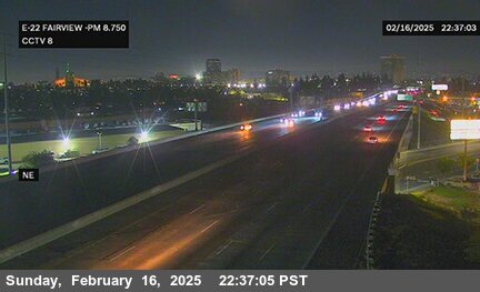
California State Route 22 · Garden Grove, CA
Garden Grove - CA-22 eastbound at Fairview, Garden Grove - View east - MM 10.23 118 ft
California State Route 22 · Westminster, CA
Westminster - CA-22 eastbound at Knott, Westminster - View east - MM 4.317 65 ft
California State Route 22 · Westminster, CA
Westminster - CA-22 eastbound at Eastbound Knott Avenue, Westminster - View east - MM 4.32 72 ft
California State Route 22 · Garden Grove, CA
Garden Grove - CA-22 westbound at Beach Boulevard, Garden Grove - View west - MM 5.32 72 ft
California State Route 22 · Garden Grove, CA
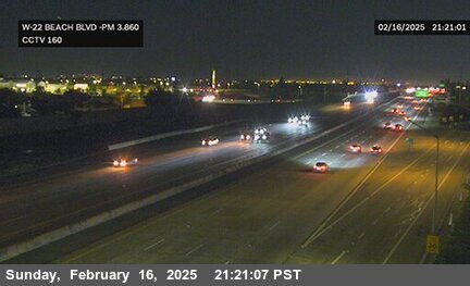
Garden Grove - CA-22 westbound at Beach, Garden Grove - View west - MM 5.327 72 ft
California State Route 22 · Garden Grove, CA
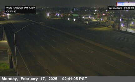
Garden Grove - CA-22 westbound at Harbor Boulevard, Garden Grove - View west - MM 9.25 101 ft
California State Route 22 · Garden Grove, CA
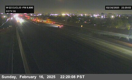
Garden Grove - CA-22 westbound at Euclid Street, Garden Grove - View west - MM 8.35 91 ft
California State Route 22 · Garden Grove, CA
Garden Grove - CA-22 westbound at Brookhurst Street, Garden Grove - View west - MM 7.3 91 ft
California State Route 22 · Garden Grove, CA
Garden Grove - CA-22 eastbound west of Magnolia Street, Garden Grove - View east - MM 6.16 75 ft
California State Route 22 · Garden Grove, CA
Garden Grove - CA-22 westbound east of Magnolia Street, Garden Grove - View west - MM 6.6 85 ft
California State Route 22 · Garden Grove, CA
Garden Grove - CA-22 eastbound at Brookhurst, Garden Grove - View east - MM 7.28 82 ft

California State Route 133 · Irvine, CA
Irvine - CA-133 northbound south of Toll Plaza, Irvine - View north 511 ft

California State Route 133 · Irvine, CA
Irvine - CA-133 northbound north of Portola, Irvine - View north 426 ft

California State Route 133 · Irvine, CA
Irvine - CA-133 northbound north of Irvine Boulevard Overcross, Irvine - View north 337 ft

California State Route 133 · Irvine, CA
Irvine - CA-133 northbound south of Irvine Blvd Overcross, Irvine - View north 288 ft

California State Route 133 · Irvine, CA
Irvine - CA-133 northbound south of Trabuco Road Overcross, Irvine - View north 246 ft

California State Route 133 · Irvine, CA
Irvine - CA-133 northbound south of Marine Way Undercross, Irvine - View north 246 ft

California State Route 133 · Irvine, CA
Irvine - CA-133 northbound at I-5, Irvine - View north 236 ft

California State Route 73 · Costa Mesa, CA
Costa Mesa - CA-73 northbound at Bear Street, Costa Mesa - View north - MM 17.18 65 ft
California State Route 73 · Costa Mesa, CA
Costa Mesa - CA-73 northbound north of Redhill Avenue Overcross, Costa Mesa - View north - MM 16.09 39 ft

California State Route 73 · Costa Mesa, CA
Costa Mesa - CA-73 northbound north of Campus Drive Overcross, Costa Mesa - View north - MM 15.69 42 ft

California State Route 73 · Newport Beach, CA
Newport Beach - CA-73 northbound south of Birch Street Overcross, Newport Beach - View north - MM 15.31 62 ft

California State Route 73 · Newport Beach, CA
Newport Beach - CA-73 northbound at Jamboree Road, Newport Beach - View north - MM 14.76 59 ft

California State Route 73 · Newport Beach, CA
Newport Beach - CA-73 northbound south of University Drive Undercross, Newport Beach - View north - MM 14.3 42 ft

California State Route 73 · Newport Beach, CA
Newport Beach - CA-73 southbound at Bison Avenue Overcross, Newport Beach - View south - MM 13.44 72 ft

California State Route 73 · Irvine, CA
Irvine - CA-73 northbound south of Bison Avenue, Irvine - View north - MM 13 160 ft

California State Route 73 · Irvine, CA
Irvine - CA-73 northbound at Bonita Canyon, Irvine - View north - MM 12.51 206 ft

California State Route 73 · Newport Beach, CA
Newport Beach - CA-73 southbound north of Newport, Newport Beach - View south - MM 11.89 337 ft

California State Route 73 · Newport Beach, CA
Newport Beach - CA-73 southbound south of Newport Coast Drive, Newport Beach - View south - MM 11.39 479 ft

California State Route 73 · Newport Beach, CA
Newport Beach - CA-73 southbound south of Newport Coast Drive A, Newport Beach - View south - MM 10.92 610 ft

California State Route 73 · Newport Beach, CA
Newport Beach - CA-73 southbound north of Newport Coast Drive, Newport Beach - View south - MM 10.48 793 ft

California State Route 73 · Newport Beach, CA
Newport Beach - CA-73 southbound north of Bommer, Newport Beach - View south - MM 9.976 948 ft

California State Route 73 · Newport Beach, CA
Newport Beach - CA-73 southbound north of Toll Plaza A/ Bommer Canyon, Newport Beach - View south - MM 9.53 908 ft

California State Route 73 · Irvine, CA
Irvine - CA-73 southbound at Catalina View Toll Plaza, Irvine - View south - MM 8.96 971 ft

California State Route 73 · Irvine, CA
Irvine - CA-73 southbound south of Toll Plaza/ North of Wildlife, Irvine - View south - MM 8.41 761 ft

California State Route 73 · Irvine, CA
Irvine - CA-73 southbound north of Laguna Canyon 2, Irvine - View south - MM 7.84 646 ft

California State Route 73 · Laguna Beach, CA
Laguna Beach - CA-73 southbound north of Laguna Canyon Road Undercross, Laguna Beach - View south - MM 7.34 495 ft

California State Route 73 · Laguna Beach, CA
Laguna Beach - CA-73 northbound north of Laguna Canyon Road Undercross A, Laguna Beach - View north - MM 6.94 334 ft

California State Route 73 · Laguna Beach, CA
Laguna Beach - CA-73 southbound north of El Toro Road Undercross, Laguna Beach - View south - MM 6.4 321 ft

California State Route 73 · Aliso Viejo, CA
Aliso Viejo - CA-73 northbound at El Toro Road Offramp, Aliso Viejo - View north - MM 5.84 511 ft

California State Route 73 · Aliso Viejo, CA
Aliso Viejo - CA-73 southbound at Pacific Park Drive Overcross, Aliso Viejo - View south - MM 5.27 603 ft

California State Route 73 · Aliso Viejo, CA
Aliso Viejo - CA-73 southbound north of Laguna Hills Drive Overcross, Aliso Viejo - View south - MM 5.02 534 ft

California State Route 73 · Aliso Viejo, CA
Aliso Viejo - CA-73 southbound south of Laguna Hills Drive Overcross, Aliso Viejo - View south - MM 4.83 469 ft

California State Route 73 · Aliso Viejo, CA
Aliso Viejo - CA-73 southbound at SOF Aliso Creek Road, Aliso Viejo - View south - MM 4.489 374 ft

California State Route 73 · Aliso Viejo, CA
Aliso Viejo - CA-73 southbound at Aliso Creek Road, Aliso Viejo - View south - MM 4.38 360 ft

California State Route 73 · Aliso Viejo, CA
Aliso Viejo - CA-73 southbound at Alicia Parkway Overcross, Aliso Viejo - View south - MM 3.78 232 ft

California State Route 73 · Aliso Viejo, CA
Aliso Viejo - CA-73 northbound north of La Paz Road Undercross, Aliso Viejo - View north - MM 3.47 255 ft

California State Route 73 · Laguna Niguel, CA
Laguna Niguel - CA-73 southbound north of Moulton Parkway Undercross, Laguna Niguel - View south - MM 2.97 259 ft

California State Route 73 · Laguna Niguel, CA
Laguna Niguel - CA-73 southbound south of Moulton Parkway Undercross, Laguna Niguel - View south - MM 2.4 426 ft

California State Route 73 · Laguna Hills, CA
Laguna Hills - CA-73 southbound north of Greenfield Drive Undercross, Laguna Hills - View south - MM 1.81 426 ft

California State Route 73 · Laguna Niguel, CA
Laguna Niguel - CA-73 northbound north of Crown Valley Parkway Undercross, Laguna Niguel - View north - MM 1.5 410 ft

California State Route 73 · Laguna Niguel, CA
Laguna Niguel - CA-73 northbound north of Paseo De Colinas Undercross, Laguna Niguel - View north - MM 0.8 259 ft

California State Route 1 · Laguna Beach, CA
Laguna Beach - CA-1 northbound at PCH at Beverly, Laguna Beach - View north - MM 6.189 88 ft

California State Route 1 · Laguna Beach, CA
Laguna Beach - CA-1 southbound at PCH at Beverly, Laguna Beach - View south - MM 6.18 88 ft

California State Route 1 · Laguna Beach, CA
Laguna Beach - CA-1 southbound at PCH at Cliff / Aster, Laguna Beach - View south - MM 5.678 78 ft

California State Route 1 · Laguna Beach, CA
Laguna Beach - CA-1 northbound at PCH at Broadway, Laguna Beach - View north - MM 5.512 16 ft

California State Route 1 · Laguna Beach, CA
Laguna Beach - CA-1 southbound at PCH at Broadway, Laguna Beach - View south - MM 5.496 13 ft

California State Route 1 · Laguna Beach, CA
Laguna Beach - CA-1 northbound at PCH at Ocean, Laguna Beach - View north - MM 5.44 26 ft

California State Route 1 · Laguna Beach, CA
Laguna Beach - CA-1 southbound at PCH at Ocean, Laguna Beach - View south - MM 5.426 26 ft

California State Route 1 · Laguna Beach, CA
Laguna Beach - CA-1 northbound at PCH at Laguna, Laguna Beach - View north - MM 5.329 45 ft

California State Route 1 · Laguna Beach, CA
Laguna Beach - CA-1 southbound at PCH at Laguna, Laguna Beach - View south - MM 5.318 45 ft

California State Route 1 · Laguna Beach, CA
Laguna Beach - CA-1 northbound at PCH at Legion, Laguna Beach - View north - MM 5.19

California State Route 1 · Laguna Beach, CA
Laguna Beach - CA-1 southbound at PCH at Legion, Laguna Beach - View south - MM 5.179

California State Route 1 · Laguna Beach, CA
Laguna Beach - CA-1 northbound at PCH at Cleo, Laguna Beach - View north - MM 5.011 55 ft

California State Route 1 · Laguna Beach, CA
Laguna Beach - CA-1 southbound at PCH at Cleo, Laguna Beach - View south - MM 4.998 72 ft

California State Route 1 · Laguna Beach, CA
Laguna Beach - CA-1 northbound at PCH at Thalia, Laguna Beach - View north - MM 4.87 75 ft

California State Route 1 · Laguna Beach, CA
Laguna Beach - CA-1 southbound at PCH at Thalia, Laguna Beach - View south - MM 4.86 75 ft

California State Route 1 · Laguna Beach, CA
Laguna Beach - CA-1 northbound at PCH at Cress, Laguna Beach - View north - MM 4.584 65 ft

California State Route 1 · Laguna Beach, CA
Laguna Beach - CA-1 northbound at PCH at Blue Bird, Laguna Beach - View north - MM 4.36 72 ft

California State Route 1 · Laguna Beach, CA
Laguna Beach - CA-1 southbound at PCH at Blue Bird, Laguna Beach - View south - MM 4.343 72 ft

California State Route 1 · Laguna Beach, CA
Laguna Beach - CA-1 northbound at PCH at Diamond, Laguna Beach - View north - MM 4.091 91 ft

California State Route 1 · Laguna Beach, CA
Laguna Beach - CA-1 southbound at PCH at Diamond, Laguna Beach - View south - MM 4.08 108 ft

California State Route 1 · Laguna Beach, CA
Laguna Beach - CA-1 northbound at PCH at Nyes, Laguna Beach - View north - MM 3.444 127 ft

California State Route 1 · Laguna Beach, CA
Laguna Beach - CA-1 southbound at PCH at Nyes, Laguna Beach - View south - MM 3.444 127 ft

California State Route 1 · Laguna Beach, CA
Laguna Beach - CA-1 northbound at PCH at Ocean Vista/Montage Resort, Laguna Beach - View north - MM 3.045 134 ft

California State Route 1 · Laguna Beach, CA
Laguna Beach - CA-1 southbound at PCH at Ocean Vista/Montage, Laguna Beach - View south - MM 3.045 134 ft

California State Route 1 · Laguna Beach, CA
Laguna Beach - CA-1 northbound at PCH at Wesley Dr., Laguna Beach - View north - MM 2.856 104 ft

California State Route 1 · Laguna Beach, CA
Laguna Beach - CA-1 southbound at PCH at Wesley Dr., Laguna Beach - View south - MM 2.856 104 ft

California State Route 1 · Laguna Beach, CA
Laguna Beach - CA-1 northbound at PCH at Bluff Dr/West St, Laguna Beach - View north - MM 2.09 131 ft

California State Route 1 · Laguna Beach, CA
Laguna Beach - CA-1 southbound at PCH at Bluff Dr/West St, Laguna Beach - View south - MM 2.09 131 ft

California State Route 1 · Laguna Beach, CA
Laguna Beach - CA-1 northbound at PCH at Sea Cliff/3rd Ave, Laguna Beach - View north - MM 1.822 147 ft

California State Route 1 · Laguna Beach, CA
Laguna Beach - CA-1 southbound at PCH at Sea Cliff/3rd Ave, Laguna Beach - View south - MM 1.822 147 ft

California State Route 1 · Laguna Beach, CA
Laguna Beach - CA-1 northbound at PCH at 7th Ave, Laguna Beach - View north - MM 1.594 121 ft

California State Route 1 · Laguna Beach, CA
Laguna Beach - CA-1 southbound at PCH at 7th Ave, Laguna Beach - View south - MM 1.594 121 ft

California State Route 74 · Rancho Mission Viejo, CA
Rancho Mission Viejo - CA-74 eastbound at San Antonio, Rancho Mission Viejo - View east 170 ft
