Weather at the camera now: 49°F, feels like 43°F, cloudy, wind from the south 9 mph. Dark until sunrise at . Open-Meteo forecast for this spot,
On JamJumper since November 2026. Camera by Caltrans.
CA-68 (Route 68) at Corral de Tierra Road in Monterey County, California, mile marker 13.14. The camera looks west.
Monterey County - CA-68 westbound at Corral de Tierra Road, Monterey County - View west - MM 13.14

Along CA-68
Cams nearby
 Reservation Road / River RoadCA-68 · West · 4 mi
 Spreckles BoulevardCA-68 · East · 5 mi
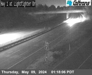 Lightfighter DriveCA-1 · North · 7 mi
 Olmsted Airport RoadCA-68 · West · 7 mi
 Josselyn Canyon RoadCA-68 · East · 7 mi
 west of Josselyn Canyon RoadCA-68 · East · 8 mi
 north of Del Monte BlvdCA-1 · South · 8 mi
 Imjin ParkwayCA-1 · North · 8 mi
 east of Fairground Road overcrossingCA-68 · East · 8 mi
 North FremontCA-1 · North · 8 mi
 JamJumper


