Weather at the camera now: 63°F, feels like 60°F, clear, wind from the north 7 mph. Dark until sunrise at . Open-Meteo forecast for this spot,
On JamJumper since November 2026. Camera by Caltrans.
CA-86 at 0.3 mi south of 50th Street in Coachella, California, mile marker 233.214. The camera looks north, toward Las Vegas (182 miles north). The nearest I-10 camera is about 2 miles north, at east of Dillion Road.
Inland Empire Traffic cameras: every highway cam in the area, by road ›
Coachella - CA-86 northbound 0.3 mi south of 50th Street, Coachella - View north - MM 233.214

Cams nearby
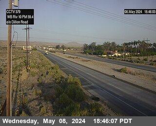 east of Dillion RoadI-10 · West · 2 mi
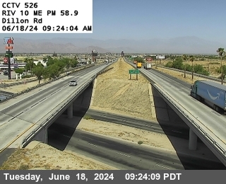 Dillon RoadI-10 · 2 mi
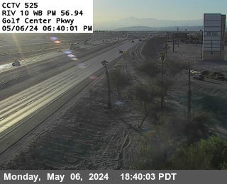 Golf Center PkwyI-10 · West · 4 mi
 Smokey GulshI-10 · 4 mi
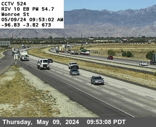 Monroe StreetI-10 · East · 6 mi
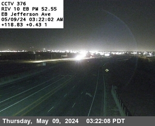 east of JeffersonI-10 · West · 8 mi
 1.5 west of Cactus City Rest AreaI-10 · West · 9 mi
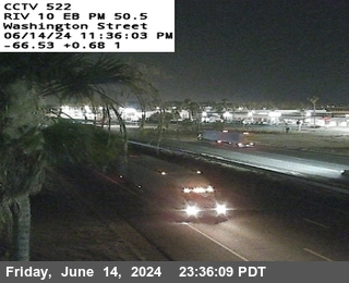 Washington StreetI-10 · East · 10 mi
 east of Bob Hope DriveI-10 · West · 16 mi
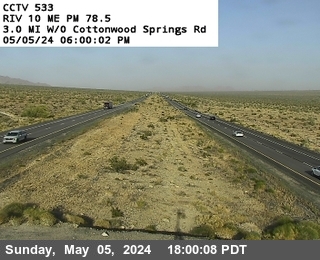 west of Cottonwood Springs RoadI-10 · 17 mi
 JamJumper