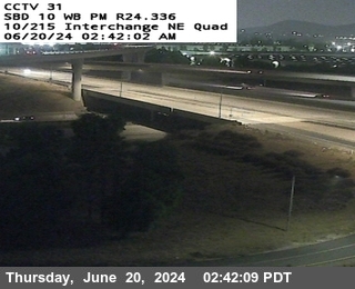
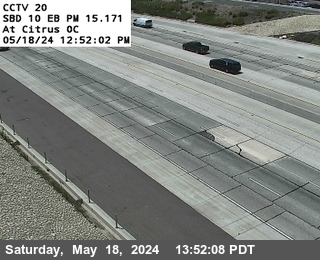
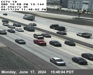
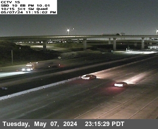
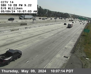
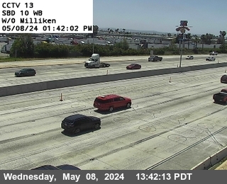
Weather at the camera now: 55°F, cloudy, wind from the southwest 5 mph, gusts 15. Dark until sunrise at . Open-Meteo forecast for this spot,
On JamJumper since November 2026. Camera by Caltrans.
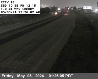
I-10 at 1.0 miles west of Cherry in Fontana, California, mile marker 58.89. The camera looks east. The nearest I-15 camera is about 2 miles west, at Airport Drive. It is on the I-10 Inland Empire stretch, also called the 10 in San Bernardino and San Bernardino Freeway.
I-10 Inland Empire: every camera on this stretch, in road order ›
Fontana - I-10 eastbound 1.0 miles west of Cherry, Fontana - View east - MM 58.89
Along I-10
Cams nearby
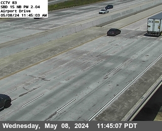 Airport DriveI-15 · North · 2 mi
 N of Ontario Mills PkwyI-15 · North · 2 mi
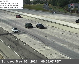 N of Fourth StreetI-15 · North · 2 mi
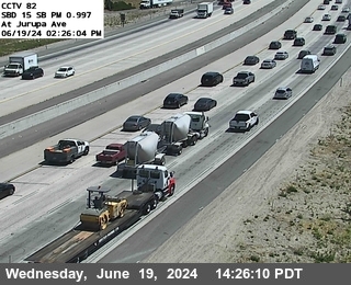 Jurupa StreetI-15 · South · 3 mi
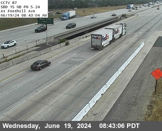 Foothill Blvd.I-15 · North · 3 mi
 Country Village RoadCA-60 · East · 3 mi
 EtiwandaCA-60 · West · 3 mi
 Pedley WB on-rampCA-60 · West · 3 mi
 0.5 miles S of BaselineI-15 · North · 3 mi
 Offramp Pedley StreetCA-60 · East · 3 mi
 JamJumper