On JamJumper since November 2026. Camera by Caltrans.
I-15 at 0.5 mi north of SD County Line in Rainbow, California, mile marker 55.08. The camera looks north. It is on the I-15 Temecula to Corona stretch, also called the 15 in Temecula, the 15 in Corona and Corona Freeway.
I-15 Temecula to Corona: every camera on this stretch, in road order ›
Rainbow - I-15 northbound 0.5 mi north of SD County Line, Rainbow - View north - MM 55.08
Along I-15
 Temecula ParkwayI-15 · North
 1.0 mi south of Temecula RiverI-15 · South
 0.6 mi north of Rainbow Valley Truck Insp. StaI-15 · North
 0.5 mi south of Rainbow Valley Truck Inspection StationI-15 · South0.5 mi north of SD County LineI-15 · North
 I-15CA-76 · East
 just north of Mesa Rock RdI-15 · North
 just north of Mesa Rock RdI-15 · North
 W Country Club LaneI-15 · North
Cams nearby
 south of Rancho California RoadI-15 · South · 4 mi
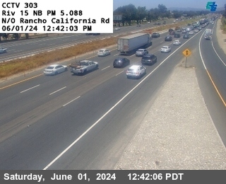 north of Rancho California RoadI-15 · North · 4 mi
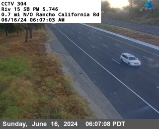 0.7 mi north of Rancho California RdI-15 · South · 5 mi
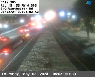 south of Winchester RdI-15 · South · 6 mi
 north of Winchester RdI-15 · North · 6 mi
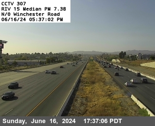 0.75 mi north of Winchester RoadI-15 · North · 7 mi
 just north of SR-76I-5 · South · 7 mi
 Horse Creek Ranch RdCA-76 · East · 7 mi
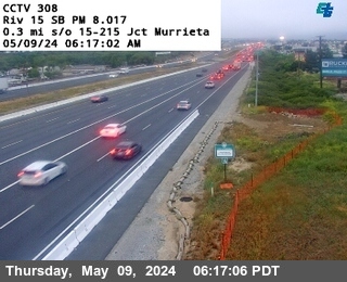 north of Warm Springs CreekI-15 · South · 7 mi
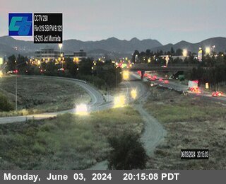 15/215 InterchangeI-215 · South · 8 mi
 JamJumper