Weather at the camera now: 48°F, feels like 43°F, clear, wind from the west 7 mph, gusts 15. Dark until sunrise at . Open-Meteo forecast for this spot,
On JamJumper since November 2026. Camera by Caltrans.
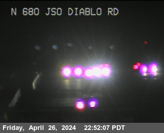
I-680 (Sinclair Freeway) at just south of Diablo Road in Danville, California, mile marker 38.86. The camera looks north, toward Sacramento (59 miles north).
Bay Area Traffic cameras: every highway cam in the area, by road ›
Danville - I-680 northbound just south of Diablo Road, Danville - View north - MM 38.86
Along I-680
 just north of Olympic BlvdI-680 · North
 Olympic Blvd off-rampI-680 · North
 S Main AvenueI-680 · South
 just north of Livorna RoadI-680 · Southjust south of Diablo RoadI-680 · North
 just south of Greenbrook Drive OvercrossI-680 · South
 just north of Montevideo RoadI-680 · South
 just south of Alcosta BlvdI-680 · North
 I-680I-580 · West
Cams nearby
 MT Diablo BlvdI-680 · North · 7 mi
 just south of Oakvale Rd overcrossingI-680 · North · 7 mi
 MT DiabloI-680 · South · 7 mi
 North Main StreetI-680 · South · 8 mi
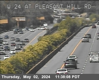 W24 at Pleasant Hill RdCA-24 · West · 8 mi
 Treat BlvdI-680 · North · 8 mi
 Oak Park BlvdI-680 · North · 9 mi
 just east of Castro Valley BlvdI-580 · West · 9 mi
 just south of Monument BlvdI-680 · South · 9 mi
 Foothill BlvdI-580 · East · 9 mi
 JamJumper