BlytheCA · I-10 Palm Springs and the Desert · 3 cams
240.5
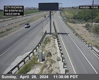
Next to CMS in Blythelooking west
I-10 westbound at Next to CMS in Blythe, Blythe - MM 240.45
239.9
east of SR-95looking east
I-10 eastbound east of SR-95, Blythe - MM 239.87
- ⋮ 5 mi
234.6
east of SR-78looking east
I-10 eastbound east of SR-78, Blythe - MM 234.63
Desert CenterCA · I-10 Palm Springs and the Desert · 2 cams
- ⋮ 48 mi
186.3
west of Eagle Mountain Rdlooking east
I-10 eastbound west of Eagle Mountain Rd, Desert Center - MM 186.284

185.2
west of Eagle Mountain Rdlooking west
I-10 westbound west of Eagle Mountain Rd, Desert Center - MM 185.22

Riverside CountyCA · I-10 Palm Springs and the Desert · 3 cams
- ⋮ 16 mi
169.3
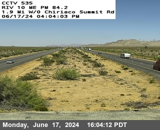
Chiriaco Sumit
I-10 at Chiriaco Sumit, Riverside County - MM 169.27
- ⋮ 6 mi
163.4
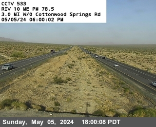
west of Cottonwood Springs Road
I-10 west of Cottonwood Springs Road, Riverside County - MM 163.44
- ⋮ 8 mi
155.3
1.5 west of Cactus City Rest Arealooking west
I-10 westbound at 1.5 west of Cactus City Rest Area, Riverside County - MM 155.329

CoachellaCA · I-10 Palm Springs and the Desert · 3 cams
- ⋮ 5 mi
149.9
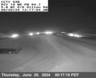
Smokey Gulsh
I-10 at Smokey Gulsh, Coachella - MM 149.85
145.2
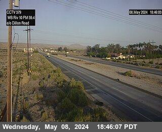
east of Dillion Roadlooking west
I-10 westbound east of Dillion Road, Coachella - MM 145.22
144.8
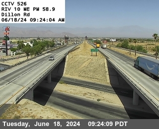
Dillon Road
I-10 at Dillon Road, Coachella - MM 144.77
IndioCA · I-10 Palm Springs and the Desert · 3 cams
142.8
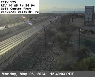
Golf Center Pkwylooking west
I-10 westbound at Golf Center Pkwy, Indio - MM 142.762
140.5
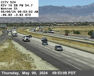
Monroe Streetlooking east
I-10 eastbound at Monroe Street, Indio - MM 140.47
138.4
east of Jeffersonlooking west
I-10 westbound east of Jefferson, Indio - MM 138.37
Thousand PalmsCA · I-10 Palm Springs and the Desert · 2 cams
136.2
Washington Streetlooking east
I-10 eastbound at Washington Street, Thousand Palms - MM 136.22
- ⋮ 7 mi
129.5
east of Bob Hope Drivelooking west
I-10 westbound east of Bob Hope Drive, Thousand Palms - MM 129.51
Cathedral CityCA · I-10 Palm Springs and the Desert · 1 cam
- ⋮ 6 mi
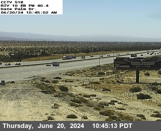
123.8
Date Palm Drivelooking east
I-10 eastbound at Date Palm Drive, Cathedral City - MM 123.79
Desert Hot SpringsCA · I-10 Palm Springs and the Desert · 1 cam
121.9
Gene Autry Trail
I-10 at Gene Autry Trail, Desert Hot Springs - MM 121.946

Palm SpringsCA · I-10 Palm Springs and the Desert · 3 cams
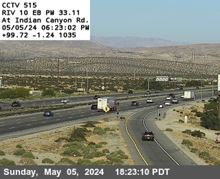
118.9
Indian Canyon
I-10 at Indian Canyon, Palm Springs - MM 118.943
114.4
east of SR-62looking east
I-10 eastbound east of SR-62, Palm Springs - MM 114.44

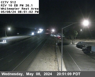
112.0
White Water Rest Arealooking east
I-10 eastbound at White Water Rest Area, Palm Springs - MM 112.02
WhitewaterCA · I-10 Palm Springs and the Desert · 3 cams
110.4
0.2 mi east of Haugen-Lehmannlooking east
I-10 eastbound 0.2 mi east of Haugen-Lehmann, Whitewater - MM 110.41

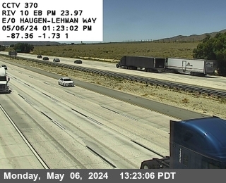
109.9
west of Haugen-Lehmann Waylooking north
I-10 northbound west of Haugen-Lehmann Way, Whitewater - MM 109.88
107.6
2.3 mi east of Main St
I-10 2.3 mi east of Main St, Whitewater - MM 107.591

BanningCA · I-10 Palm Springs and the Desert · 4 cams
- ⋮ 5 mi
102.2
0.2 mi W OF Malki Rdlooking west
I-10 westbound 0.2 mi W OF Malki Rd, Banning - MM 102.153

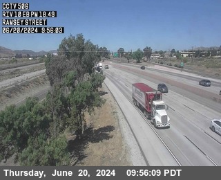
100.7
Ramsey Streetlooking east
I-10 eastbound at Ramsey Street, Banning - MM 100.67
99.3
San Gorgonio overcrossinglooking east
I-10 eastbound at San Gorgonio overcrossing, Banning - MM 99.28

98.0
22nd Streetlooking east
I-10 eastbound at 22nd Street, Banning - MM 98.01
BeaumontCA · I-10 Inland Empire · 4 cams
94.9
west of Highland Springs Avenuelooking east
I-10 eastbound west of Highland Springs Avenue, Beaumont - MM 94.85

91.6
east of Oak Valley Parkwaylooking east
I-10 eastbound east of Oak Valley Parkway, Beaumont - MM 91.562

91.3
west of Oak Valley Pkwaylooking east
I-10 eastbound west of Oak Valley Pkway, Beaumont - MM 91.321

90.5
west of Oak Valley Pkwylooking east
I-10 eastbound west of Oak Valley Pkwy, Beaumont - MM 90.537
CalimesaCA · I-10 Inland Empire · 2 cams
88.0
Singleton Road on-ramplooking east
I-10 eastbound at Singleton Road on-ramp, Calimesa - MM 87.955

86.9
east of Sandalwood Drivelooking east
I-10 eastbound east of Sandalwood Drive, Calimesa - MM 86.899

MenifeeCA · I-10 Inland Empire · 1 cam
86.6
west of Sandalwood Drivelooking west
I-10 westbound west of Sandalwood Drive, Menifee - MM 86.621

YucaipaCA · I-10 Inland Empire · 8 cams
85.9
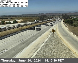
County Line Rdlooking west
I-10 westbound at County Line Rd, Yucaipa - MM 85.854
85.3
east of Wildwood Rest Arealooking east
I-10 eastbound east of Wildwood Rest Area, Yucaipa - MM 85.257

84.9
Wildwood Rest Arealooking east
I-10 eastbound at Wildwood Rest Area, Yucaipa - MM 84.88

84.6
west of Wildwood Rest Arealooking east
I-10 eastbound west of Wildwood Rest Area, Yucaipa - MM 84.553

83.9
Live Oak Canyon EB on-ramplooking east
I-10 eastbound at Live Oak Canyon EB on-ramp, Yucaipa - MM 83.87

83.8
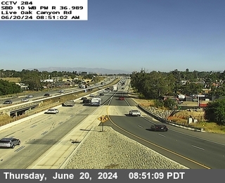
Live Oak Canyon Rdlooking west
I-10 westbound at Live Oak Canyon Rd, Yucaipa - MM 83.75
82.3
Yucaipa Blvd. EB on-ramplooking east
I-10 eastbound at Yucaipa Blvd. EB on-ramp, Yucaipa - MM 82.331

82.2
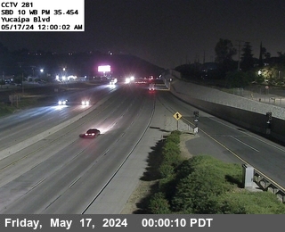
Yucaipa Blvdlooking west
I-10 westbound at Yucaipa Blvd, Yucaipa - MM 82.215
RedlandsCA · I-10 Inland Empire · 10 cams
81.5
0.7 mi west of Yucaipa Blvdlooking east
I-10 eastbound 0.7 mi west of Yucaipa Blvd, Redlands - MM 81.495

81.1
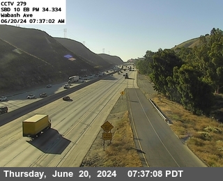
Wabash Avelooking east
I-10 eastbound at Wabash Ave, Redlands - MM 81.095
80.2
west of Wabash Avelooking east
I-10 eastbound west of Wabash Ave, Redlands - MM 80.21

79.8
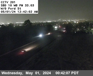
west of Ford Streetlooking west
I-10 westbound west of Ford Street, Redlands - MM 79.79
79.0
Cypress Avelooking east
I-10 eastbound at Cypress Ave, Redlands - MM 78.996

78.6
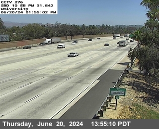
University Dr.looking east
I-10 eastbound at University Dr., Redlands - MM 78.603
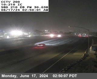
I-10 eastbound at I-210, Redlands - MM 76.8
76.3
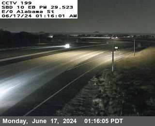
east of Alabamalooking east
I-10 eastbound east of Alabama, Redlands - MM 76.28
75.6
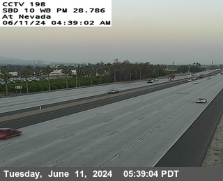
Nevada Streetlooking west
I-10 westbound at Nevada Street, Redlands - MM 75.55
75.1
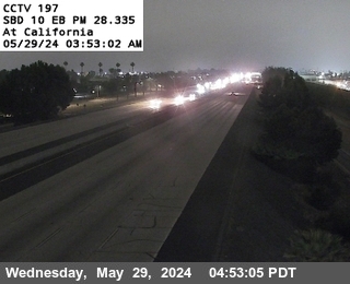
Californialooking east
I-10 eastbound at California, Redlands - MM 75.1
San BernardinoCA · I-10 Inland Empire · 1 cam
74.1
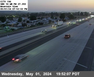
Mountain Viewlooking west
I-10 westbound at Mountain View, San Bernardino - MM 74.05
Loma LindaCA · I-10 Inland Empire · 1 cam
72.7
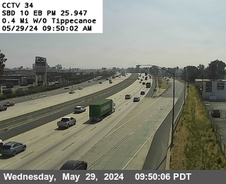
west of Tippecanoelooking east
I-10 eastbound west of Tippecanoe, Loma Linda - MM 72.71
ColtonCA · I-10 Inland Empire · 1 cam
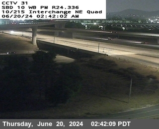
71.1
I-10/I-215 Ic Ne Quadlooking north
I-10 northbound at I-10/I-215 Ic Ne Quad, Colton - MM 71.101
FontanaCA · I-10 Inland Empire · 5 cams
- ⋮ 8 mi
63.0
West Side Sierra Overcrosslooking east
I-10 eastbound at West Side Sierra Overcross, Fontana - MM 62.98

61.9
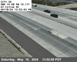
West Side Citrus Overcrosslooking east
I-10 eastbound at West Side Citrus Overcross, Fontana - MM 61.94
60.4
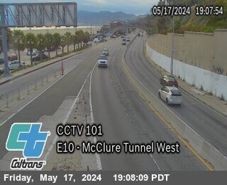
Mcclure Westlooking east, Santa Monica
I-10 eastbound at Mcclure West, Santa Monica - MM 60.353
59.9
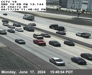
West Side Cherry Overcrosslooking east
I-10 eastbound at West Side Cherry Overcross, Fontana - MM 59.91
58.9
1.0 miles west of Cherrylooking east
I-10 eastbound 1.0 miles west of Cherry, Fontana - MM 58.89
OntarioCA · I-10 Inland Empire · 13 cams
56.4
I-15 SW Quadlooking east
I-10 eastbound at I-15 SW Quad, Ontario - MM 56.44
56.0
east of Millikenlooking east
I-10 eastbound east of Milliken, Ontario - MM 56.018
55.4
west of Millikenlooking west
I-10 westbound west of Milliken, Ontario - MM 55.42
55.0
Haven Ave.
I-10 at Haven Ave., Ontario - MM 54.96

54.5
west of Havenlooking west
I-10 westbound west of Haven, Ontario - MM 54.476

53.5
west of Archibald Ave.looking west
I-10 westbound west of Archibald Ave., Ontario - MM 53.45

53.0
east of Vineyardlooking east
I-10 eastbound east of Vineyard, Ontario - MM 53.03
52.1
4th Streetlooking east
I-10 eastbound at 4th Street, Ontario - MM 52.08
51.2
east of Sixth Streetlooking east
I-10 eastbound east of Sixth Street, Ontario - MM 51.15

50.8
Campus Ave.looking west
I-10 westbound at Campus Ave., Ontario - MM 50.792

50.3
east of Euclidlooking east
I-10 eastbound east of Euclid, Ontario - MM 50.34
49.9
west of Euclidlooking west, Upland
I-10 westbound west of Euclid, Upland - MM 49.931
49.2
east of Mountain Avenuelooking east
I-10 eastbound east of Mountain Avenue, Ontario - MM 49.173
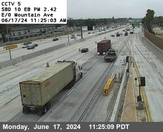
MontclairCA · I-10 Inland Empire · 4 cams
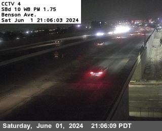
48.5
Benson Avenuelooking west
I-10 westbound at Benson Avenue, Montclair - MM 48.52
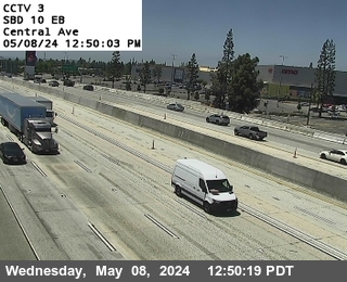
48.0
Centrallooking east
I-10 eastbound at Central, Montclair - MM 47.98
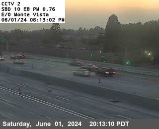
47.5
east of Monte Vistalooking east
I-10 eastbound east of Monte Vista, Montclair - MM 47.52
47.1
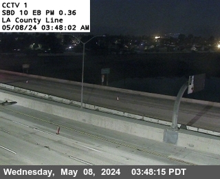
LA County Linelooking east
I-10 eastbound at LA County Line, Montclair - MM 47.13
ClaremontCA · I-10 Los Angeles · 1 cam
46.2
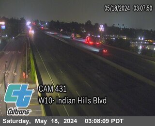
Indian Hill Blvdlooking west
I-10 westbound at Indian Hill Blvd, Claremont - MM 46.223
San DimasCA · I-10 Los Angeles · 1 cam
- ⋮ 7 mi
38.9
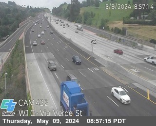
Via Verde Stlooking west
I-10 westbound at Via Verde St, San Dimas - MM 38.946
CovinaCA · I-10 Los Angeles · 1 cam
38.0
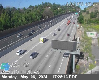
east of Holt Avelooking east
I-10 eastbound east of Holt Ave, Covina - MM 37.996
West CovinaCA · I-10 Los Angeles · 5 cams
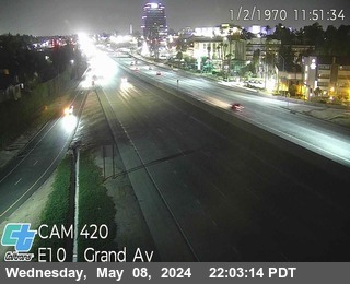
36.9
Grand Avelooking east
I-10 eastbound at Grand Ave, West Covina - MM 36.947
36.1
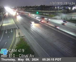
Citrus Stlooking east
I-10 eastbound at Citrus St, West Covina - MM 36.055
34.8
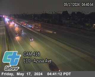
Azusa Avelooking east
I-10 eastbound at Azusa Ave, West Covina - MM 34.767
33.4
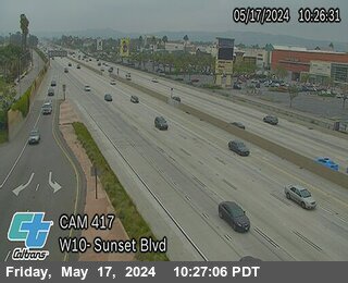
Sunset Avelooking west
I-10 westbound at Sunset Ave, West Covina - MM 33.416
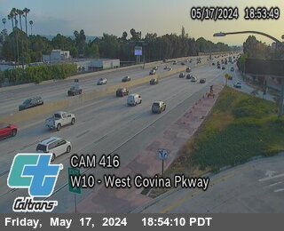
32.9
West Covina Parkwaylooking west
I-10 westbound at West Covina Parkway, West Covina - MM 32.925
AlhambraCA · I-10 Los Angeles · 1 cam
- ⋮ 12 mi
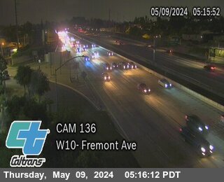
20.8
Fremont Avelooking west
I-10 westbound at Fremont Ave, Alhambra - MM 20.842
Los AngelesCA · I-10 Los Angeles · 4 cams
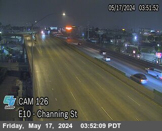
Channing Streetlooking east
I-10 eastbound at Channing Street, Los Angeles
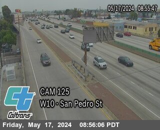
Griffith/San Pedrolooking west
I-10 westbound at Griffith/San Pedro, Los Angeles
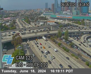
Route 110 CHP Towerlooking east
I-10 eastbound at Route 110 CHP Tower, Los Angeles
- ⋮ 7 mi
13.6
Maple Avelooking east
I-10 eastbound at Maple Ave, Los Angeles - MM 13.625

Santa MonicaCA · I-10 Los Angeles · 1 cam
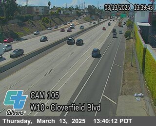
east of Cloverfield Blvdlooking west
I-10 westbound east of Cloverfield Blvd, Santa Monica
 JamJumper