Ludlow ME · I-95: Bangor to Houlton · 1 cam
Ludlow weather station Maine DOT - I-95 SB Ludlow RWIS
Image 4 hours old Dyer Brook ME · I-95: Bangor to Houlton · 1 cam 285 .0
Dyer Brook I-95 Mile 285 SB (Oakfield) - MM 285
Image 4 hours old Sherman ME · I-95: Bangor to Houlton · 1 cam ⋮ 21 mi 264 .0
Sherman I-95 Mile 264 SB (Sherman) - MM 264
Image 4 hours old Medway ME · I-95: Bangor to Houlton · 3 cams ⋮ 20 mi 244 .0
Medway I-95 Mile 244 NB (Medway) - MM 244
Image 4 hours old
⋮ 17 mi 227 .0
near Lincoln MM 227, southbound Penobscot County I-95 Mile 227 SB (Lincoln) - MM 227
Image 4 hours old 227 .0
near Lincoln MM 227, northbound Penobscot County I-95 Mile 227 NB (Lincoln) - MM 227
Image 4 hours old Old Town ME · I-95: Bangor to Houlton · 2 cams ⋮ 28 mi 199 .0
Old Town MM 199 I-95 Mile 199 SB (Old Town) - MM 199
Image 4 hours old
197 .0
Old Town MM 197 I-95 Mile 197 NB (Old Town) - MM 197
Image 4 hours old Orono ME · I-95: Bangor to Houlton · 3 cams 193 .0
Orono MM 193 I-95 Mile 193 SB (Old Town) - MM 193
Image 4 hours old 191 .0
Orono MM 191, southbound I-95 Mile 191 SB (Orono) - MM 191
Image 4 hours old
191 .0
Orono MM 191, northbound I-95 Mile 191 NB (Orono) - MM 191
Image 4 hours old Bangor ME · I-95 through Bangor · 4 cams 187 .0
Bangor MM 187 I-95 Mile 187 NB (Bangor) - MM 187
Image 4 hours old 186 .0
Bangor MM 186 I-95 Mile 186 SB (bangor New) - MM 186
Image 4 hours old
182 .0
Bangor MM 182, southbound I-95 Mile 182 SB (Bangor) - MM 182
Image 4 hours old 182 .0
Bangor MM 182, northbound I-95 Mile 182 NB (Bangor) - MM 182
Image 4 hours old Hermon ME · I-95 through Bangor · 1 cam 180 .0
Hermon I-95 Mile 180 NB (Bangor) - MM 180
Image 4 hours old Newburgh ME · I-95: Augusta to Bangor · 1 cam ⋮ 6 mi 174 .0
Newburgh I-95 Mile 174 NB (Newburgh) - MM 174
Image 4 hours old Carmel ME · I-95: Augusta to Bangor · 1 cam 174 .0
Carmel I-95 Mile 174 SB (Carmel) - MM 174
Image 4 hours old Bangor ME · I-95 through Bangor · 1 cam
Bangor Bangor
Image 4 hours old Etna ME · I-95: Augusta to Bangor · 1 cam ⋮ 7 mi 167 .0
Etna I-95 Mile 167 SB (Etna) - MM 167
Image 4 hours old Plymouth ME · I-95: Augusta to Bangor · 1 cam ⋮ 6 mi 161 .0
Plymouth I-95 Mile 161 NB (Plymouth) - MM 161
Image 4 hours old Palmyra ME · I-95: Augusta to Bangor · 1 cam 157 .0
Palmyra I-95 Mile 157 SB (Palmrya) - MM 157
Image 4 hours old Pittsfield ME · I-95: Augusta to Bangor · 2 cams ⋮ 7 mi 150 .0
Pittsfield MM 150, southbound I-95 Mile 150 SB (Pittsfield) - MM 150
Image 4 hours old
150 .0
Pittsfield MM 150, northbound I-95 Mile 150 NB (Pittsfield) - MM 150
Image 4 hours old Clinton ME · I-95: Augusta to Bangor · 2 cams ⋮ 12 mi 138 .0
Clinton MM 138, southbound I-95 Mile 138 SB (Clinton) - MM 138
Image 4 hours old 138 .0
Clinton MM 138, northbound I-95 Mile 138 NB (Clinton) - MM 138
Image 4 hours old Fairfield ME · I-95: Augusta to Bangor · 1 cam ⋮ 6 mi 132 .0
Fairfield I-95 Mile 132 SB (Fairfield New) - MM 132
Image 4 hours old Sidney ME · I-95: Augusta to Bangor · 3 cams
Sidney Sidney
Image 4 hours old
⋮ 5 mi 127 .0
Oakland Oakland I-95 Mile 127 NB (Oakland) - MM 127
Image 4 hours old 124 .0
Sidney MM 124 I-95 Mile 124 SB (Waterville) - MM 124
Image 4 hours old Waterville ME · I-95: Augusta to Bangor · 1 cam 124 .0
Waterville I-95 Mile 124 NB (Waterville New) - MM 124
Image 4 hours old Augusta ME · I-95: Augusta to Bangor · 3 cams ⋮ 11 mi 113 .0
Augusta MM 113 I-95 Mile 113 NB ( Augusta New) - MM 113
Image 4 hours old
112 .0
Augusta MM 112 I-95 Mile 112 SB (Augusta) - MM 112
Image 4 hours old 109 .0
Augusta MM 109 I-95 Mile 109 NB (Augusta) - MM 109
Image 4 hours old Hallowell ME · Maine Turnpike · 1 cam 108 .0
Hallowell I-95 Mile 108 NB (Augusta) - MM 108
Image 4 hours old Kittery ME · Maine Turnpike · 6 cams ⋮ 105 mi 3 .1
Kittery MM 3.1 looking south 95 NS 3.1 CCTV AX MTA - MM 3.1
Image 4 hours old
2 .4
Kittery MM 2.4 looking south 95 SS 2.4 CCTV AX MTA - MM 2.4
Image 4 hours old 1 .3
Kittery MM 1.3 looking south 95 SS 1.3 HLB CCTV MTA - MM 1.3
Image 4 hours old 0 .6
Kittery MM 0.6, northbound, looking south looking south 95 NS 0.6 CCTV AX MTA - MM 0.6
Image 4 hours old
0 .6
Kittery MM 0.6, northbound, looking north looking north 95 NN 0.6 CCTV AX MTA - MM 0.6
Image 4 hours old 0 .4
Kittery Dennett Rd looking north Dennett Rd NN 0.39 CCTV AX MTA - MM 0.39
Image 4 hours old 43 .0
East Street looking south I-95 south at East Street, Pawtucket - MM 43.0
Image 4 hours old
42 .4
Broadway looking north I-95 north at Broadway, Pawtucket - MM 42.4
Image 4 hours old 41 .8
Vernon Street looking north I-95 north at Vernon Street, Pawtucket - MM 41.8
Image 4 hours old 41 .0
Garden Street looking south I-95 south at Garden Street, Pawtucket - MM 41.0
Image 4 hours old
40 .6
Lonsdale Avenue looking north I-95 north at Lonsdale Avenue, Pawtucket - MM 40.6
Image 4 hours old 40 .0
Smithfield Avenue looking north I-95 north at Smithfield Avenue, Pawtucket - MM 40.0
Image 4 hours old 39 .4
Exit 39B & 39C looking north I-95 north at Exit 39B & 39C, Providence - MM 39.4
Image 4 hours old
38 .8
Branch Avenue looking north I-95 north at Branch Avenue, Providence - MM 38.8
Image 4 hours old 38 .0
Orms Street looking south I-95 south at Orms Street, Providence - MM 38.0
Image 4 hours old 37 .6
Kinsley Avenue looking north I-95 north at Kinsley Avenue, Providence - MM 37.6
Image 4 hours old
37 .4
6-10 Interchange looking south I-95 south at 6-10 Interchange, Providence - MM 37.4
Image 4 hours old 37 .0
Broadway looking south I-95 south at Broadway, Providence - MM 37.0
Image 4 hours old 36 .8
Broad Street looking south I-95 south at Broad Street, Providence - MM 36.8
Image 4 hours old
36 .2
Eddy Street looking south I-95 south at Eddy Street, Providence - MM 36.2
Image 4 hours old 35 .8
Public Street looking north I-95 north at Public Street, Providence - MM 35.8
Image 4 hours old 35 .2
Thurbers Avenue looking north I-95 north at Thurbers Avenue, Providence - MM 35.2
Image 4 hours old
34 .0
Elmwood Avenue looking south I-95 south at Elmwood Avenue, Providence - MM 34.0
Image 4 hours old I-95 south at Route 10, Cranston - MM 33.6
Image 4 hours old 32 .6
Laurens Street looking south I-95 south at Laurens Street, Cranston - MM 32.6
Image 4 hours old
32 .4
Wellington Avenue looking north I-95 north at Wellington Avenue, Cranston - MM 32.4
Image 4 hours old 31 .4
Jefferson Boulevard looking north I-95 north at Jefferson Boulevard, Warwick - MM 31.4
Image 4 hours old 30 .2
Service Avenue looking north I-95 north at Service Avenue, Warwick - MM 30.2
Image 4 hours old
28 .8
Greenwich Avenue looking south I-95 south at Greenwich Avenue, Warwick - MM 28.8
Image 4 hours old 27 .4
Toll Gate Road looking north I-95 north at Toll Gate Road, Warwick - MM 27.4
Image 4 hours old 26 .0
Cowesett Road looking south I-95 south at Cowesett Road, Warwick - MM 26.0
Image 4 hours old
25 .4
Route 4 Cell Tower looking north I-95 north at Route 4 Cell Tower, Warwick - MM 25.4
Image 4 hours old 24 .0
Quaker Lane looking north I-95 north at Quaker Lane, West Warwick - MM 24.0
Image 4 hours old 22 .4
Shippeetown Road looking north I-95 north at Shippeetown Road, East Greenwich - MM 22.4
Image 4 hours old 21 .4
New London Turnpike looking south I-95 south at New London Turnpike, West Greenwich - MM 21.4
Image 4 hours old
20 .0
Hopkins Hill Road looking north I-95 north at Hopkins Hill Road, West Greenwich - MM 20.0
Image 4 hours old 18 .2
Nooseneck Hill Road looking north I-95 north at Nooseneck Hill Road, West Greenwich - MM 18.2
Image 4 hours old 17 .0
Weaver Hill Road looking east I-95 at Weaver Hill Road, West Greenwich - MM 17.0
Image 4 hours old
15 .4
I-95 looking south I-95 south at Exit 14B, West Greenwich - MM 15.4
Image 4 hours old 14 .0
I-95 looking south I-95 south at Exit 14, West Greenwich - MM 14.0
Image 4 hours old 10 .8
Tefft Hill looking south I-95 south at Tefft Hill, Exeter - MM 10.8
Image 4 hours old 9 .2
I-95 looking north I-95 north at Exit 9, Richmond - MM 9.2
Image 4 hours old
7 .2
I-95 looking north I-95 north at Exit 7, Richmond - MM 7.2
Image 4 hours old 4 .4
I-95 looking south I-95 south at Exit 4, Hopkinton - MM 4.4
Image 4 hours old 0 .6
I-95 looking south I-95 south at Exit 1, Hopkinton - MM 0.6
Image 4 hours old
0 .2
Connecticut line looking north I-95 north at the Connecticut line, Hopkinton - MM 0.2
Image 4 hours old I-95 at DE 92 (Naamans Road), Claymont
northbound off-ramp to Harvey Road I-95 at northbound off-ramp to Harvey Road, Claymont
I-95 at Marsh Road, Wilmington
I-95 at US 202, Wilmington
I-95 northbound at North Adams Street, Wilmington
Maryland Avenue Exit looking north I-95 northbound at Maryland Avenue Exit, Wilmington
I-495 split I-95 at I-495 split, Wilmington
southbound off-ramp to DE 141 southbound I-95 at southbound off-ramp to DE 141 southbound, Newport
DE 141 off-ramp looking south I-95 southbound at DE 141 off-ramp, Newport
I-95 at DE 141 (on-ramp), Wilmington Manor
looking north I-95 northbound at DE 141, Wilmington Manor
south of DE 141 I-95 at south of DE 141, Wilmington Manor
north of Churchmans Road looking north I-95 northbound at north of Churchmans Road, Wilmington Manor
DE 7 ramp with I-95 southbound I-95 at DE 7 ramp with I-95 southbound, Brookside
Before DE 1 looking north I-95 northbound at Before DE 1, Brookside
I-95 at DE 273, Brookside
Rest Stop southbound I-95 at Rest Stop southbound, Brookside
north of DE 896 interchange northbound I-95 at north of DE 896 interchange northbound, Brookside
DE 896 DE 896 I-95 at DE 896, Newark
Toll Plaza southbound I-95 at Toll Plaza southbound, Newark
Maryland State Line looking north I-95 northbound at Maryland State Line, Newark
108 .4
Exit 109 north of MD 279 I-95 north of MD 279 exit 109, Elkton - MM 108.4
Image 2 days old 105 .9
south of MD 213 Singerly Road I-95 south of MD 213 Singerly Road, Elkton - MM 105.9
Image 5 days old ⋮ 6 mi 99 .9
north of MD 272 I-95 north of MD 272, North East - MM 99.9
Image 5 days old 99 .4
south of MD 272 I-95 south of MD 272, North East - MM 99.4
Image 5 days old 97 .1
north of Chesapeake House I-95 north of Chesapeake House, Charlestown - MM 97.1
Image 5 days old 96 .1
south of Chesapeake House I-95 south of Chesapeake House, Charlestown - MM 96.1
Image 5 days old 93 .4
north of MD 222 I-95 north of MD 222, Perryville - MM 93.4
Image 4 days old 93 .2
south of MD 222 I-95 south of MD 222, Perryville - MM 93.2
Image 5 days old 92 .2
south of Frenchtown Road I-95 south of Frenchtown Road, Perryville - MM 92.2
Image 5 days old 91 .5
north of Tydings Bridge I-95 north of Tydings Bridge, Perryville - MM 91.51
Image 5 days old
another view I-95 north of Tydings Bridge, Perryville - MM 91.3
Image 5 days old 91 .0
Tydings Bridge I-95 at Tydings Bridge, Perryville - MM 91.02
Image 5 days old 90 .0
south of Tydings Bridge. I-95 south of Tydings Bridge., Havre de Grace - MM 90.0
Image 5 days old 89 .4
north of Lapidum Road looking south I-95 southbound north of Lapidum Road, Havre de Grace - MM 89.4
Image 23 hours old 88 .6
south of MD 155 I-95 south of MD 155, Havre de Grace - MM 88.6
Image 5 days old 84 .8
north of MD 22 I-95 north of MD 22, Aberdeen - MM 84.8
Image 5 days old 84 .4
south of MD 22 I-95 south of MD 22, Aberdeen - MM 84.4
Image 5 days old 80 .4
north of MD 543 I-95 north of MD 543, Riverside - MM 80.4
Image 5 days old 80 .0
Exit 80 south of MD 543 I-95 south of MD 543 exit 80, Bel Air South - MM 80.0
Image 5 days old 76 .7
Exit 77 north of MD 24 I-95 north of MD 24 exit 77, Edgewood - MM 76.7
Image 5 days old 76 .3
south of exit 77A MD 24 I-95 south of exit 77A MD 24, Edgewood - MM 76.3
Image 5 days old 74 .2
north of MD 152 I-95 north of MD 152, Edgewood - MM 74.2
Image 5 days old
another view I-95 north of MD 152, Edgewood - MM 74.2
Image 5 days old 74 .1
past exit 74 MD 152 looking south I-95 southbound past exit 74 MD 152, Joppatowne - MM 74.1
Image 5 days old 73 .9
MD 152 E. of I-95 Joppa I-95 at MD 152 E. of I-95 Joppa, Joppatowne - MM 73.92
Image 5 days old 71 .2
F North Bradshaw Road. looking south I-95 southbound at ( -F North Bradshaw Road.), Joppatowne - MM 71.2
Image 5 days old 68 .6
north of Joppa Road looking south I-95 southbound north of Joppa Road, Honeygo - MM 68.6
Image 5 days old 67 .9
past Cowenton Avenue looking north I-95 northbound past Cowenton Avenue, Honeygo - MM 67.9
Image 5 days old 67 .5
north of MD 43 Whitemarsh Boulevard I-95 north of MD 43 Whitemarsh Boulevard, White Marsh - MM 67.5
Image 5 days old 67 .0
MD 43 E, West of I-95 I-95 at MD 43 E, West of I-95, White Marsh - MM 67.0
Image 5 days old 67 .0
MD 43 E, East of I-95 I-95 at MD 43 E, East of I-95, White Marsh - MM 67.0
Image 5 days old 66 .8
Exit 67 prior to MD 43 looking north I-95 northbound at prior to exit 67 MD 43, White Marsh - MM 66.8
Image 5 days old 66 .1
south of MD 43 I-95 south of MD 43, White Marsh - MM 66.1
Image 5 days old 65 .1
north of King Avenue looking north I-95 northbound north of King Avenue, Rossville - MM 65.1
Image 5 days old 64 .4
north of Rossville Boulevard I-95 north of Rossville Boulevard, Rossville - MM 64.4
Image 6 days old 64 .0
I-95S Gp @ I-695 I-95 at I-95S Gp @ I-695, Rossville - MM 64.0
Image 5 days old 63 .9
I-95N Gp I-695 I-95 at I-95N Gp I-695, Rossville - MM 63.9
Image 5 days old 63 .7
I-95N Ml @ I-695 I-95 at I-95N Ml @ I-695, Rosedale - MM 63.7
Image 5 days old 63 .1
south of I-695 I-95 N of Kenwood Avenue I-95 south of I-695 I-95 N of Kenwood Avenue (), Rosedale - MM 63.1
Image 5 days old 62 .7
prior to I-895 looking south I-95 southbound at prior to I-895, Rosedale - MM 62.7
Image 5 days old 62 .0
north of Chesaco Avenue looking north I-95 northbound north of Chesaco Avenue, Rosedale - MM 62.0
Image 5 days old 61 .4
south of Chesaco Avenue looking north I-95 northbound south of Chesaco Avenue, Rosedale - MM 61.4
Image 5 days old 60 .0
past exit 61 looking north on Trs 8082 I-95 northbound past exit 61 ( on Trs 8082), Baltimore - MM 60.0
Image 5 days old 59 .4
Moravia Road looking north I-95 northbound at Moravia Road, Baltimore - MM 59.4
Image 5 days old 58 .6
north of Eastern Avenue. looking south I-95 southbound north of Eastern Avenue., Baltimore - MM 58.61
Image 6 days old 58 .5
south of Eastern Avenue I-95 south of Eastern Avenue, Baltimore - MM 58.5
Image 5 days old 57 .7
north of O'Donnell Street, S Turn I-95 north of O'Donnell Street, S Turn, Baltimore - MM 57.7
Image 5 days old 55 .9
Fort McHenry Tunnel East Vent Bldg Roof Top I-95 at Fort McHenry Tunnel East Vent Bldg Roof Top, Baltimore - MM 55.9
Image 5 days old 55 .7
Fort McHenry Tunnel toll plaza I-95 at Fort McHenry Tunnel toll plaza, Baltimore - MM 55.71
Image 5 days old 54 .5
Fort McHenry Tunnel, Top of South Portal I-95 at Fort McHenry Tunnel, Top of South Portal, Baltimore - MM 54.5
Image 5 days old 54 .1
Exit 55 Key Highway looking south on Top Dms 8839 I-95 southbound at exit 55 Key Highway ( on Top Dms 8839), Baltimore - MM 54.1
Image 5 days old 52 .3
I-95 looking north I-95 northbound at exit 53, Baltimore - MM 52.3
Image 5 days old I-95 at I-395, Baltimore - MM 52.11
Image 5 days old 50 .7
north of Desoto Road I-95 north of Desoto Road, Baltimore - MM 50.7
Image 5 days old 49 .9
Exit 50 south of Caton Avenue I-95 south of Caton Avenue exit 50, Baltimore - MM 49.9
Image 5 days old 49 .4
north of I-695 SW I-95 north of I-695 SW, Baltimore - MM 49.36
Image 5 days old 48 .5
I-695 SW I-95 at I-695 SW, Arbutus - MM 48.49
Image 5 days old 46 .6
north of I-195 I-95 north of I-195, Arbutus - MM 46.63
Image 5 days old 46 .4
south of I-195 I-95 south of I-195, Arbutus - MM 46.43
Image 5 days old 44 .2
Montgomery Road I-95 at Montgomery Road, Ilchester - MM 44.19
Image 5 days old I-95 northbound at MD 100, Elkridge - MM 42.39
Image 5 days old
looking south I-95 southbound at MD 100, Elkridge - MM 42.39
Image 5 days old I-95 at MD 175, Jessup - MM 40.59
Image 5 days old I-95 northbound at MD 32, Savage - MM 38.2
Image 5 days old I-95 southbound at MD 32, Columbia - MM 38
Image 5 days old 36 .6
South Welcome Center looking south I-95 southbound at South Welcome Center, North Laurel - MM 36.6
Image 5 days old 36 .2
North Welcome Center looking north I-95 northbound at North Welcome Center, North Laurel - MM 36.2
Image 5 days old 35 .3
MD 216 MD 216 I-95 at MD 216, North Laurel - MM 35.25
Image 5 days old 34 .1
Patuxent River I-95 at Patuxent River, North Laurel - MM 34.1
Image 5 days old 32 .7
MD 198 MD 198 I-95 at MD 198, Konterra - MM 32.73
Image 5 days old 28 .5
MD 212 MD 212 I-95 at MD 212, Konterra - MM 28.54
Image 5 days old 27 .1
Cherry Hill Road I-95 at Cherry Hill Road, Beltsville - MM 27.1
Image 5 days old I-95 at I-495, Beltsville - MM 26.3
Image 5 days old 26 .0
west of US 1 I-95 / I-495 (Capital Beltway) west of US 1, Beltsville - MM 25.96
Image 5 hours old I-95 / I-495 (Capital Beltway) at US 1, College Park - MM 25
Image 5 days old 23 .6
north of MD 201 I-95 / I-495 (Capital Beltway) north of MD 201, Greenbelt - MM 23.63
Image 5 days old 22 .4
MD 193 Greenbelt Road I-95 / I-495 (Capital Beltway) at MD 193 Greenbelt Road, Greenbelt - MM 22.4
Image 5 days old 21 .0
Good Luck Road I-95 / I-495 (Capital Beltway) at Good Luck Road, Greenbelt - MM 21
Image 5 days old 19 .3
south of MD 450 Cobb Road Tower I-95 south of MD 450 (Cobb Road Tower), Lanham - MM 19.3
Image 4 days old 18 .1
south of US 50 I-95 / I-495 (Capital Beltway) south of US 50, Springdale - MM 18.1
Image 4 days old I-95 / I-495 (Capital Beltway) at MD 202, Lake Arbor - MM 16.55
Image 4 days old 15 .8
Exit 16 Medical Ctr Drive I-95 / I-495 (Capital Beltway) at exit 16 Medical Ctr Drive, Summerfield - MM 15.83
Image 5 days old 15 .8
Medical Center Drive I-95/495 I-95 at Medical Center Drive I-95/495, Summerfield - MM 15.83
Image 5 days old I-95 / I-495 (Capital Beltway) at MD 214, Summerfield - MM 14.8
Image 5 days old 13 .5
outer loop past Ritchie Marlboro Road I-95 / I-495 (Capital Beltway) outer loop past Ritchie Marlboro Road, Capitol Heights - MM 13.5
Image 4 days old 12 .2
D'Arcy Road I-95 / I-495 (Capital Beltway) at D'Arcy Road, Westphalia - MM 12.2
Image 5 days old I-95 / I-495 (Capital Beltway) at MD 4, Westphalia - MM 10.82
Image 5 days old 9 .7
Forestville Road I-95 / I-495 (Capital Beltway) at Forestville Road, Morningside - MM 9.7
Image 4 days old I-95 / I-495 (Capital Beltway) at MD 5, Camp Springs - MM 7.19
Image 5 days old 5 .7
Temple Hills Road I-95 / I-495 (Capital Beltway) at Temple Hills Road, Marlow Heights - MM 5.68
Image 5 days old 4 .3
MD 414 MD 414 I-95 / I-495 (Capital Beltway) at MD 414, Oxon Hill - MM 4.3
Image 5 days old 2 .9
north of MD 210 I-95 / I-495 (Capital Beltway) north of MD 210, Forest Heights - MM 2.9
Image 5 days old I-95 / I-495 (Capital Beltway) at MD 210, Forest Heights - MM 2.58
Image 5 days old I-95 / I-495 (Capital Beltway) at I-295, Forest Heights - MM 1.68
Image 5 days old I-95 / I-495 (Capital Beltway) at National Harbor - MM 1.63
Image 5 days old 0 .6
Woodrow Wilson Bridge MD pedestrian I-95 at Woodrow Wilson Bridge MD pedestrian, Forest Heights - MM 0.6
Image 5 days old 0 .6
on W w. Brg MD I-95 / I-495 (Capital Beltway) at on W.w. Brg MD, Forest Heights - MM 0.6
Image 5 days old 0 .3
W. Brg VA looking west I-95 / I-495 (Capital Beltway) westbound at W. Brg VA, Forest Heights - MM 0.3
Image 6 days old  JamJumper
 Image 4 hours old
 Image 4 hours old
 Image 4 hours old
 Image 4 hours old
 Image 6 hours old
 Image 4 hours old
 Image 4 hours old
 Image 4 hours old
 Image 4 hours old
 Image 4 hours old
 Image 4 hours old
 Image 4 hours old
 Image 4 hours old
 Image 4 hours old
 Image 4 hours old
 Image 4 hours old
 Image 4 hours old
 Image 4 hours old
 Image 4 hours old
 Image 4 hours old
 Image 4 hours old
 Image 4 hours old
 Image 4 hours old
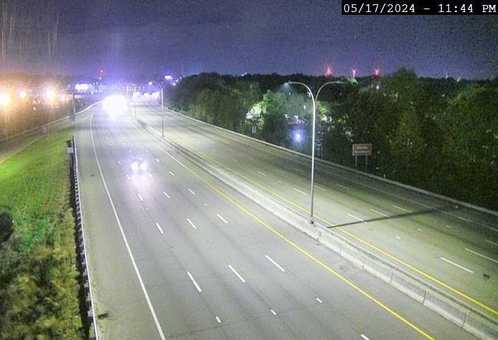 Image 4 hours old
 Image 4 hours old
 Image 4 hours old
 Image 4 hours old
 Image 4 hours old
 Image 4 hours old
 Image 4 hours old
 Image 4 hours old
 Image 4 hours old
 Image 4 hours old
 Image 4 hours old
 Image 4 hours old
 Image 4 hours old
 Image 4 hours old
 Image 4 hours old
 Image 4 hours old
 Image 4 hours old
 Image 4 hours old
 Image 4 hours old
 Image 4 hours old
 Image 4 hours old
 Image 4 hours old
 Image 4 hours old
 Image 4 hours old
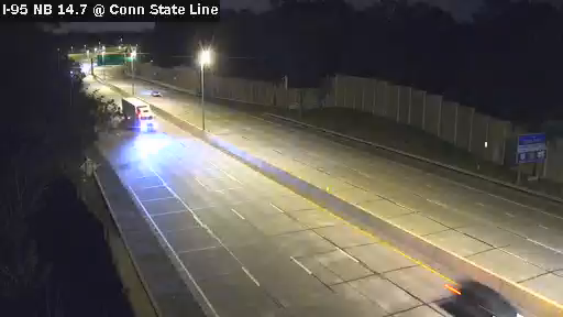 Image 4 hours old
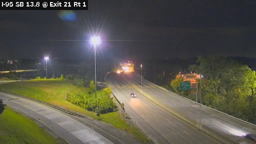 Image 4 hours old
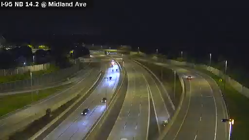 Image 4 hours old
 Image 4 hours old
 Image 4 hours old
 Image 4 hours old
 Image 4 hours old
 Image 4 hours old
 Image 4 hours old
 Image 4 hours old
 Image 4 hours old
 Image 4 hours old
 Image 4 hours old
 Image 4 hours old
 Image 4 hours old
 Image 4 hours old
 Image 4 hours old
 Image 4 hours old
 Image 4 hours old
 Image 4 hours old
 Image 4 hours old
 Image 4 hours old
 Image 4 hours old
 Image 4 hours old


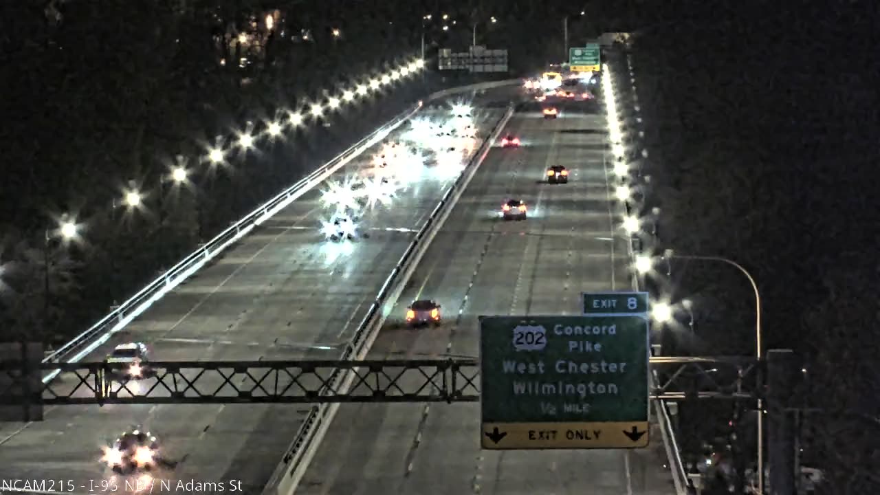


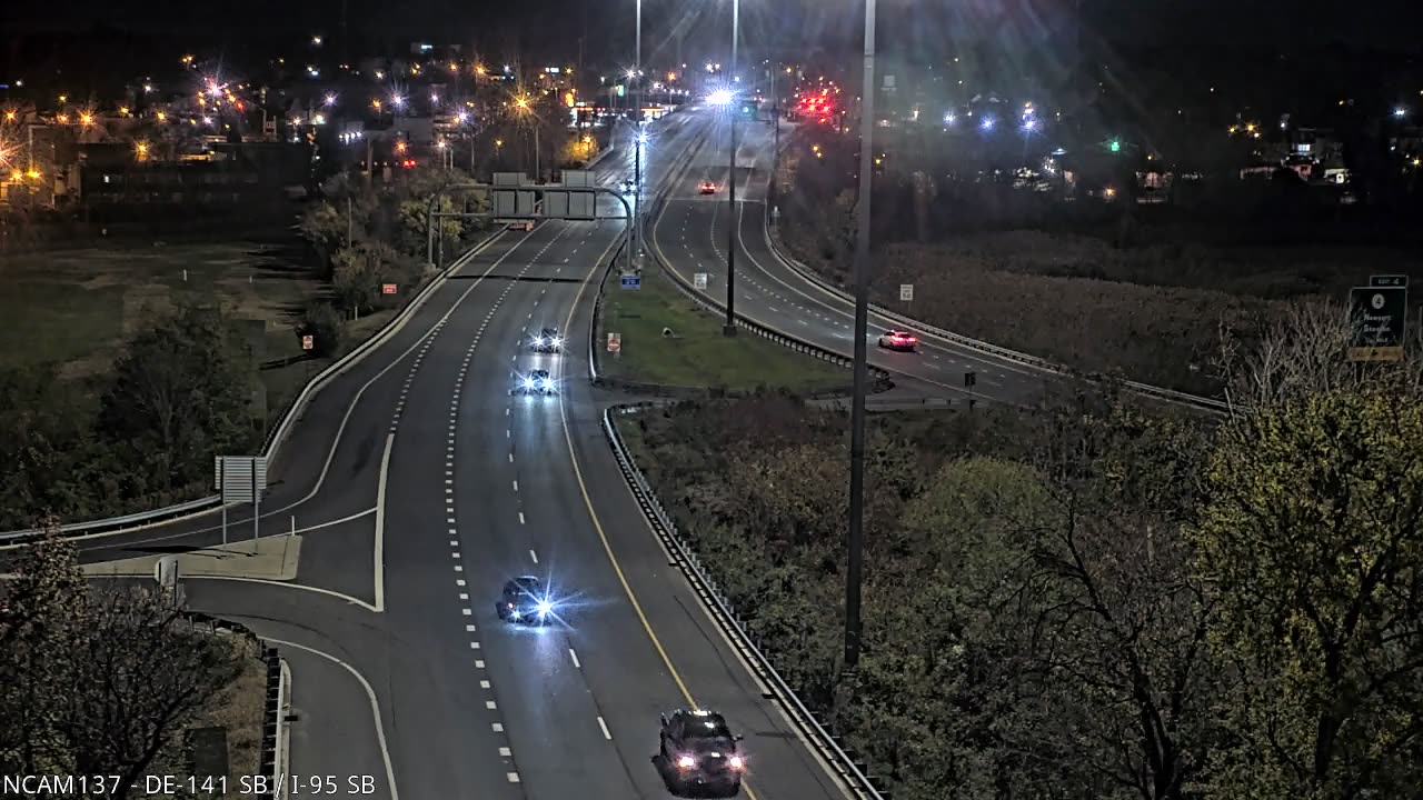


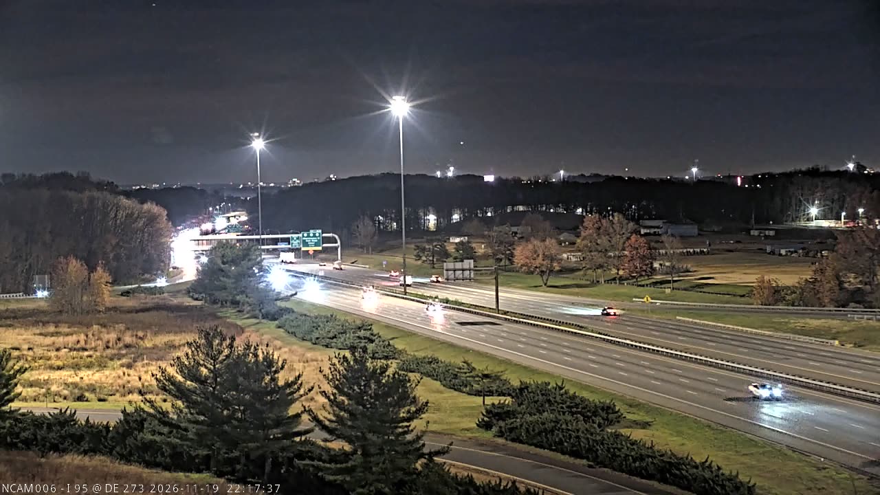


 Image 2 days old
 Image 5 days old
 Image 5 days old
 Image 5 days old
 Image 5 days old
 Image 5 days old
 Image 4 days old
 Image 5 days old
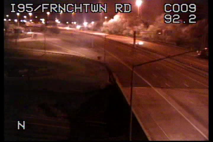 Image 5 days old
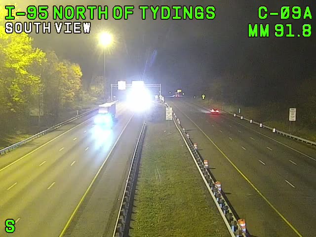 Image 5 days old
 Image 5 days old
 Image 5 days old
 Image 5 days old
 Image 23 hours old
 Image 5 days old
 Image 5 days old
 Image 5 days old
 Image 5 days old
 Image 5 days old
 Image 5 days old
 Image 5 days old
 Image 5 days old
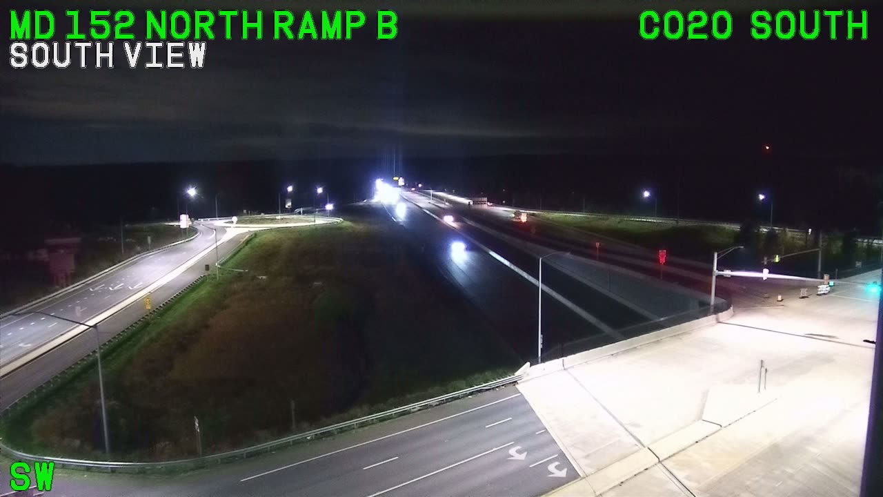 Image 5 days old
 Image 5 days old
 Image 5 days old
 Image 5 days old
 Image 5 days old
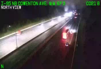 Image 5 days old
 Image 5 days old
 Image 5 days old
 Image 5 days old
 Image 5 days old
 Image 5 days old
 Image 5 days old
 Image 6 days old
 Image 5 days old
 Image 5 days old
 Image 5 days old
 Image 5 days old
 Image 5 days old
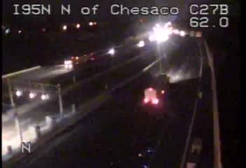 Image 5 days old
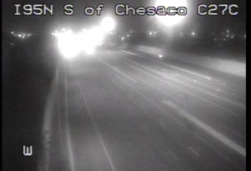 Image 5 days old
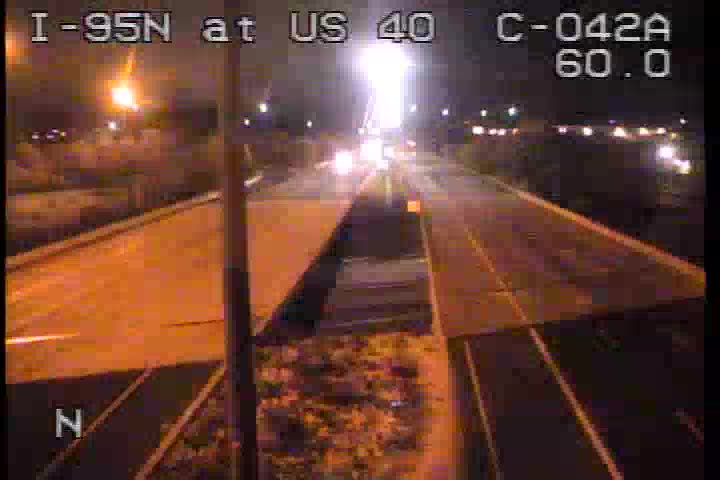 Image 5 days old
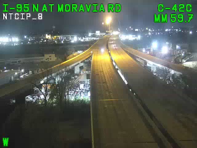 Image 5 days old
 Image 6 days old
 Image 5 days old
 Image 5 days old
 Image 5 days old
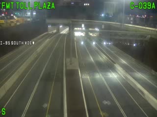 Image 5 days old
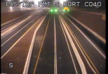 Image 5 days old
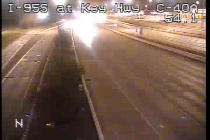 Image 5 days old
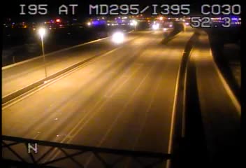 Image 5 days old
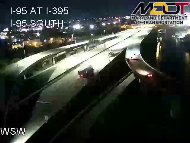 Image 5 days old
 Image 5 days old
 Image 5 days old
 Image 5 days old
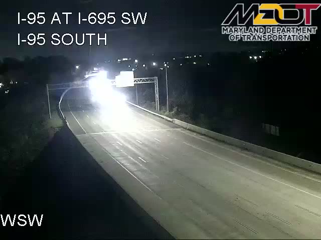 Image 5 days old
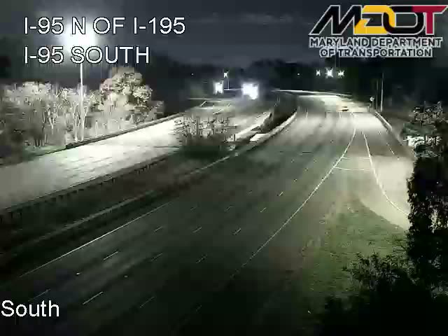 Image 5 days old
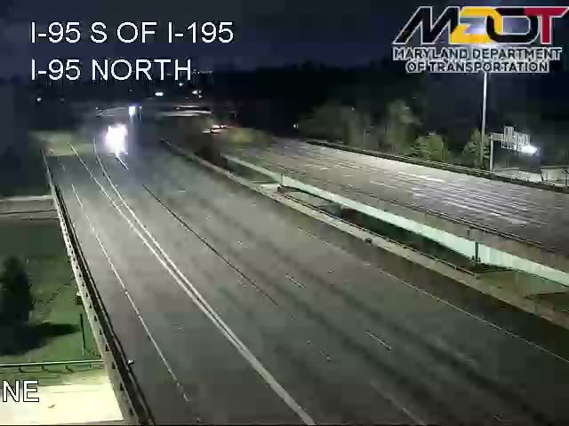 Image 5 days old
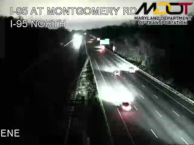 Image 5 days old
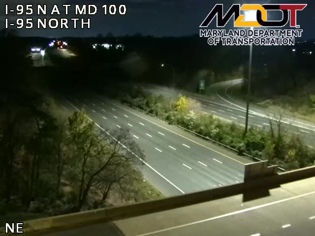 Image 5 days old
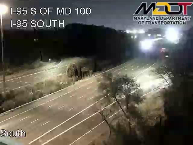 Image 5 days old
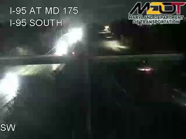 Image 5 days old
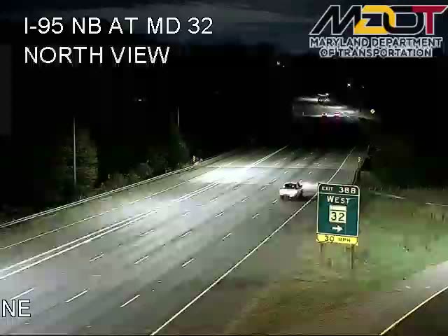 Image 5 days old
 Image 5 days old
 Image 5 days old
 Image 5 days old
 Image 5 days old
 Image 5 days old
 Image 5 days old
 Image 5 days old
 Image 5 days old
 Image 5 days old
 Image 5 hours old
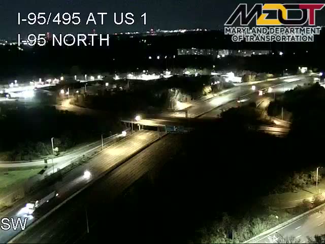 Image 5 days old
 Image 5 days old
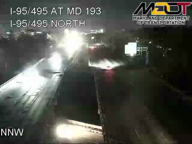 Image 5 days old
 Image 5 days old
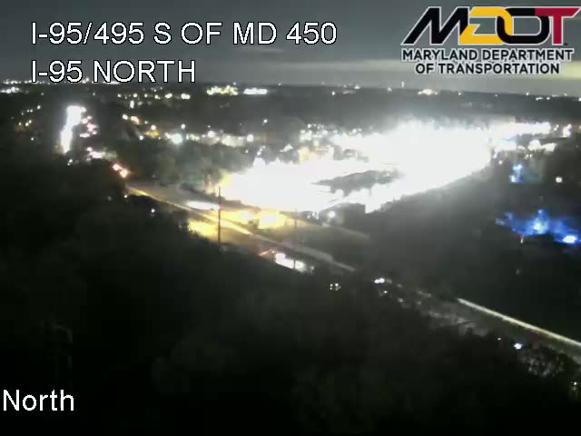 Image 4 days old
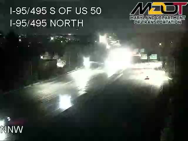 Image 4 days old
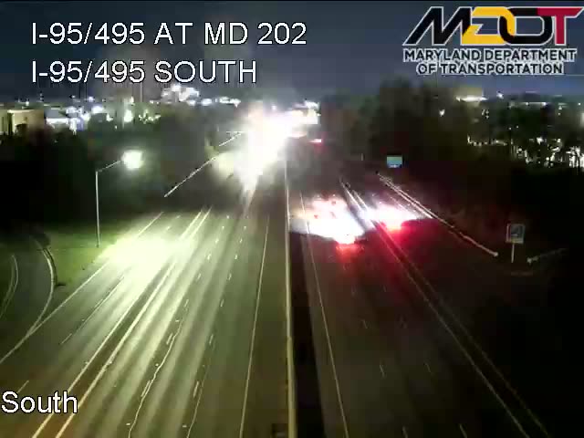 Image 4 days old
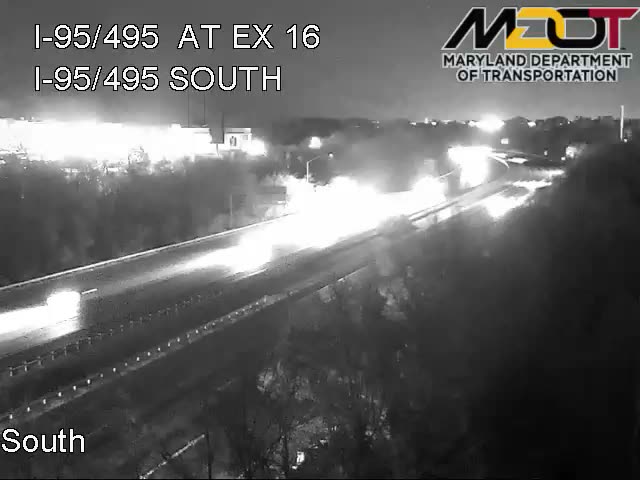 Image 5 days old
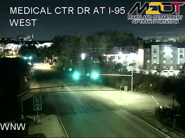 Image 5 days old
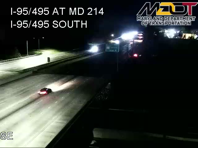 Image 5 days old
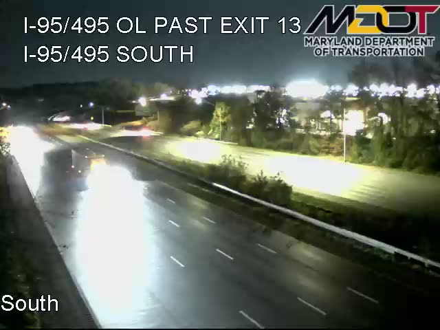 Image 4 days old
 Image 5 days old
 Image 5 days old
 Image 4 days old
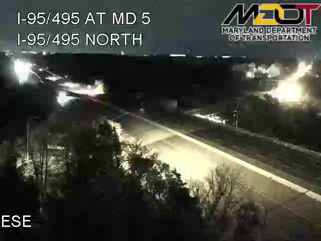 Image 5 days old
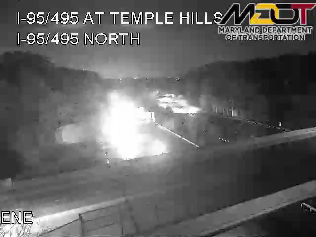 Image 5 days old
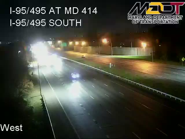 Image 5 days old
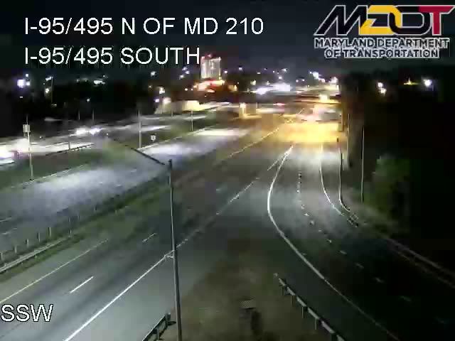 Image 5 days old
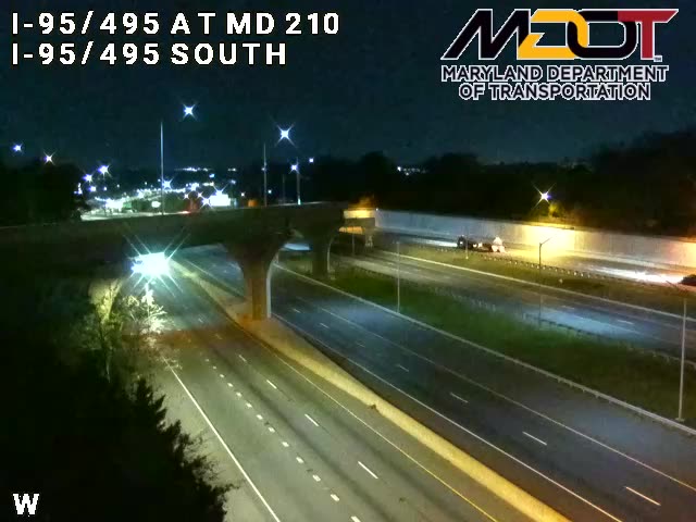 Image 5 days old
 Image 5 days old
 Image 5 days old
 Image 5 days old
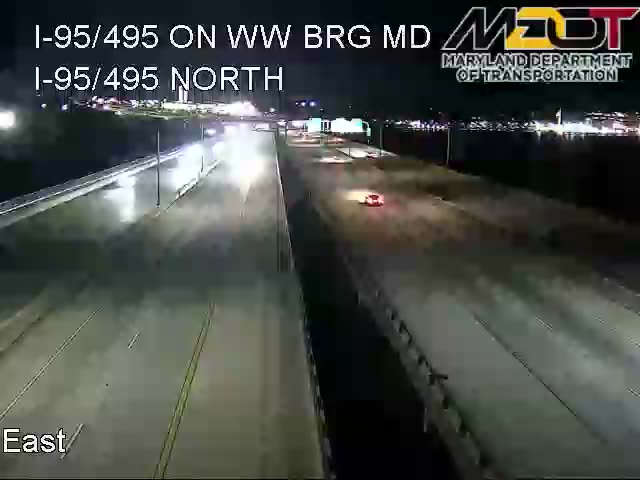 Image 5 days old
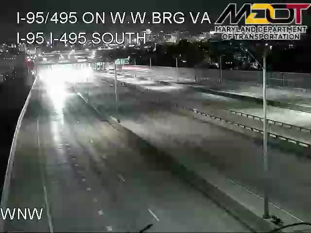 Image 6 days old