Traffic cams around Boston from MassDOT: I-93 and the Southeast Expressway, the Zakim and Tobin bridges, the Mass Pike (I-90) and Storrow Drive, Route 1, Route 2, Route 3, Route 28 and Route 128 (I-95)
Mass511 lists 1 crash or incident report in the Boston area at 7:52 pm ET and 4 roadwork zones.
From MassDOT, by way of Mass511. Updated every few minutes.
Mass511, 7:52 pm ET
I-95 · Peabody, MA
Peabody - I-95 (Route 128) before Exit 64, Rt 128 - View south - MM 65.3

I-95 · Lynnfield, MA
Lynnfield - I-95 (Route 128) at Exit 59, Main St - View south - MM 59.3

I-95 · Wakefield, MA
Wakefield - I-95 (Route 128) at Exit 58, Rt 129 rotary - View south - MM 58.6

I-95 · Wakefield, MA
Wakefield - I-95 (Route 128) 0.3 mi past Exit 56, Rt 28 - View north - MM 56.9

I-95 · Burlington, MA
Burlington - I-95 (Route 128) just past Exit 52, Winn St - View north - MM 52.7





I-95 · Weston, MA
Weston - I-95 (Route 128) before Exit 39A, South Ave - View south - MM 39.4

I-95 · Newton, MA
Newton - I-95 (Route 128) after Exit 39A, Rt 30 - View south - MM 38.9

I-95 · Newton, MA
Newton - I-95 (Route 128) past Exit 38, Grove St - View north - MM 38.5


I-95 · Needham, MA
Needham - I-95 (Route 128) at Exit 35, Highland Ave - View south - MM 35.8


I-95 · Dedham, MA
Dedham - I-95 (Route 128) before Exit 32, Rt 135 - View south - MM 32.4

I-95 · Dedham, MA
Dedham - I-95 (Route 128) 0.2 mi after Exit 31B, Rt 109 - View south - MM 30.8


I-95 · Westwood, MA
Westwood - I-95 (Route 128) past Exit 28, East St - View north - MM 28.6


I-95 · Canton, MA
Canton - I-95 (Route 128) 0.75 mi before Exit 26, I-93 - View north - MM 25.1

U.S. Highway 1 · Peabody, MA
Peabody - US 1 (Route 1) at the jughandle - View north

U.S. Highway 1 · Lynnfield, MA
Lynnfield - US 1 (Route 1) 1.2 mi before Rt 129 Walnut St - View south - MM 59.0
U.S. Highway 1 · Saugus, MA
Saugus - US 1 (Route 1) before Lynn Fells Pkwy - View north - MM 57.1
U.S. Highway 1 · Saugus, MA
Saugus - US 1 (Route 1) past Main St - View south - MM 56.0
U.S. Highway 1 · Saugus, MA
Saugus - US 1 (Route 1) past Essex St - View south - MM 55.5
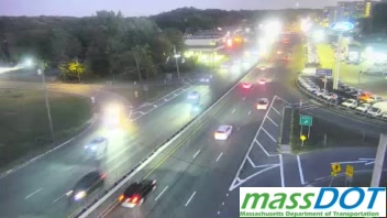
U.S. Highway 1 · Revere, MA
Revere - US 1 (Route 1) north of Rt 60 - View north - MM 53.5

U.S. Highway 1 · Revere, MA
Revere - US 1 (Route 1) past Rt 60 Squire Rd Rotary - View north - MM 53.4
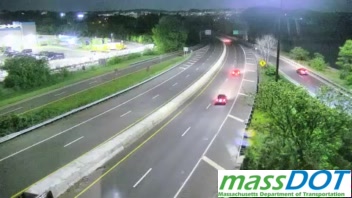
U.S. Highway 1 · Revere, MA
Revere - US 1 (Route 1) before Rt 60 Squire Rd Rotary - View north - MM 53.0
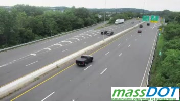
U.S. Highway 1 · Chelsea, MA
Chelsea - US 1 (Route 1) 0.2 mi after Carter St - View south - MM 50.5
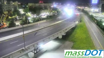
U.S. Highway 1 · Boston, MA
Boston - US 1 (Route 1) ramp from I-93 north (Exit 19) to the Tobin Bridge, Charlestown - View north
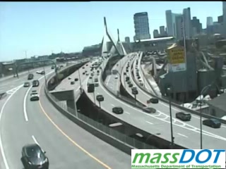
U.S. Highway 1 · Boston, MA
Boston - US 1 (Route 1) ramp from the Tobin Bridge to I-93 south and Storrow Drive, Charlestown - View south
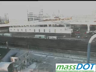
U.S. Highway 1 · Boston, MA
Boston - US 1 (Route 1) ramp from the Tobin Bridge to I-93 south and Storrow Drive, Charlestown - View south

U.S. Highway 1 · Boston, MA
Boston - US 1 (Route 1) ramp from Storrow Drive to the Tobin Bridge, Charlestown - View north

U.S. Highway 1 · Boston, MA
Boston - US 1 (Route 1) at the I-93 south Exit 18 ramp, Charlestown - View south
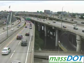
U.S. Highway 1 · Boston, MA
Boston - US 1 (Route 1) ramp from the Tobin Bridge to I-93 south and Storrow Drive, Charlestown - View south

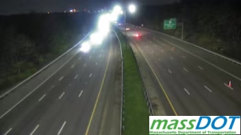
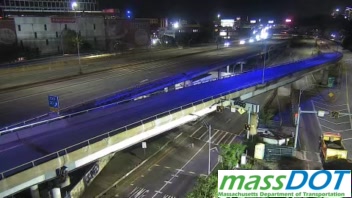
I-93 · Somerville, MA
Somerville - I-93 at Exit 18, Storrow Dr - View south - MM 20.0

I-93 · Boston, MA
Boston - I-93 at Exit 18, Leverett Circle, Charlestown - View south - MM 19.8

I-93 · Boston, MA
Boston - I-93 ramp from Storrow Drive to I-93 north, Charlestown - View north
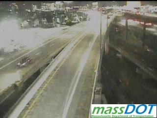

I-93 · Boston, MA
Boston - I-93 on the lower deck, Charlestown - View south - MM 19.2
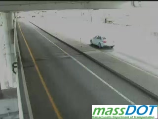
I-93 · Boston, MA
Boston - I-93 ramp from Storrow Drive to I-93 north, Charlestown - View north
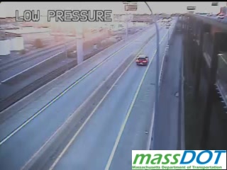
I-93 · Boston, MA
Boston - I-93 before Exit 19 to the Tobin Bridge, Charlestown - View north - MM 18.8
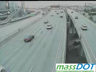
I-93 · Boston, MA
Boston - I-93 on the Zakim Bridge, past the merge - View south - MM 18.8

I-93 · Boston, MA
Boston - I-93 ramp from Storrow Drive to I-93 north, Charlestown - View north

I-93 · Boston, MA
Boston - I-93 at the Zakim Bridge south tower - View south - MM 18.6

I-93 · Boston, MA
Boston - I-93 ramp from Leverett Circle to I-93 north
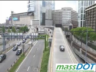
I-93 · Boston, MA
Boston - I-93 ramp from Leverett Circle to I-93 north
I-93 · Boston, MA
Boston - I-93 at the bottom of the southbound Exit 18 ramp - View south
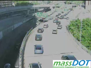
I-93 · Boston, MA
Boston - I-93 (Southeast Expressway) at the Frontage Rd merge - View north - MM 16.7
I-93 · Boston, MA
Boston - I-93 (Southeast Expressway) over the Broadway bridge - View north - MM 16.5
I-93 · Boston, MA
Boston - I-93 on the South Station connector, South Boston - View north
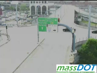
I-93 · Boston, MA
Boston - I-93 ramp from I-93 north (Exit 16) to I-90 west - View west

I-93 · Boston, MA
Boston - I-93 on the South Station connector, South Boston - View north
I-93 · Boston, MA
Boston - I-93 ramp from I-93 north (Exit 16) to I-90 west - View west

I-93 · Boston, MA
Boston - I-93 by the South Station terminal - View south
I-93 · Boston, MA
Boston - I-93 ramp from I-90 east (Exit 134C) to I-93 south - View east

I-93 · Boston, MA
Boston - I-93 ramp from I-93 north (Exit 16) to I-90 west - View west
I-93 · Boston, MA
Boston - I-93 ramp from I-90 east (Exit 134C) to I-93 south - View east

I-93 · Boston, MA
Boston - I-93 ramp from I-93 north (Exit 16) to I-90 west - View west

I-93 · Boston, MA
Boston - I-93 (Southeast Expressway) past the Frontage Rd merge - MM 16.3
I-93 · Boston, MA
Boston - I-93 ramp from I-90 east (Exit 134C) to I-93 south - View east

I-93 · Boston, MA
Boston - I-93 ramp from Kneeland St to the HOV lane - View east


I-93 · Boston, MA
Boston - I-93 (Southeast Expressway) before the Mass Ave connector, HOV lane - View south - MM 16.1

I-93 · Boston, MA
Boston - I-93 on the northbound frontage road - View north
I-93 · Boston, MA
Boston - I-93 (Southeast Expressway) at the northbound Exit 16 ramp to the HOV lane - MM 16.0
I-93 · Boston, MA
Boston - I-93 at the Dorchester Ave bridge, South Boston

I-93 · Boston, MA
Boston - I-93 (Southeast Expressway) before the Hegarty bridge, HOV lane - View south - MM 15.8
I-93 · Boston, MA
Boston - I-93 (Southeast Expressway) at the northbound Exit 16 ramp to the HOV lane - MM 15.8


I-93 · Boston, MA
Boston - I-93 on the southbound frontage road - View south
I-93 · Boston, MA
Boston - I-93 (Southeast Expressway) before Southampton St, HOV lane - View south - MM 15.6

I-93 · Boston, MA
Boston - I-93 on the northbound frontage road - View north

I-93 · Boston, MA
Boston - I-93 on the northbound frontage road - View north
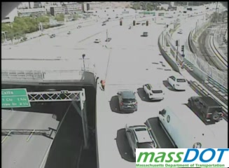
I-93 · Boston, MA
Boston - I-93 (Southeast Expressway) at the South Bay mall - View south - MM 15.4
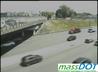
I-93 · Boston, MA
Boston - I-93 (Southeast Expressway) before Southampton St - MM 15.4

I-93 · Boston, MA
Boston - I-93 (Southeast Expressway) at Exit 14, Columbia Rd - View north - MM 14.4

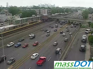
I-93 · Boston, MA
Boston - I-93 (Southeast Expressway) between Exits 11 and 12, Neponset - View north - MM 11.3



Massachusetts Route 2 · Lexington, MA
Lexington - MA 2 (Route 2) at Exit 128, Spring St - View east - MM 129.0

Massachusetts Route 2 · Lexington, MA
Lexington - MA 2 (Route 2) at Exit 129, Waltham St - MM 130.0
Massachusetts Route 1A · Boston, MA
Boston - MA 1A (Route 1A) at the Sumner Tunnel entrance, East Boston - View south - MM 49.5

I-90 · Boston, MA
Boston - I-90 (Mass Pike) at the Logan Airport upper level, arrivals and departures, East Boston
I-90 · Boston, MA
Boston - I-90 (Mass Pike) ramp from Logan Airport to I-90 west, toward the Ted Williams Tunnel, East Boston

I-90 · Boston, MA
Boston - I-90 (Mass Pike) ramp from Harborside Dr to the Logan Airport arrivals level, East Boston

I-90 · Boston, MA
Boston - I-90 (Mass Pike) ramp from Logan Airport to I-90 west, toward the Ted Williams Tunnel, East Boston

I-90 · Boston, MA
Boston - I-90 (Mass Pike) east of Everett St, Brighton - View west - MM 130.1
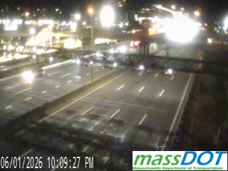
I-90 · Newton, MA
Newton - I-90 (Mass Pike) past Exit 127, Newton Corner - View west - MM 127.5
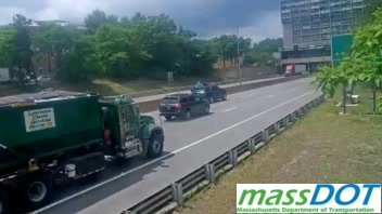
I-90 · Boston, MA
Boston - I-90 (Mass Pike) west of Commonwealth Ave, Allston-Brighton - View west - MM 131.5

I-90 · Newton, MA
Newton - I-90 (Mass Pike) west of Lowell St - View east - MM 126.2
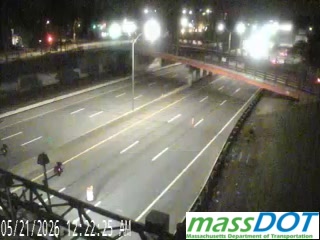
I-90 · Boston, MA
Boston - I-90 (Mass Pike) at Pumphouse Rd, South Boston - View west
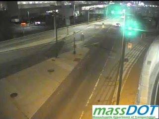

I-90 · Boston, MA
Boston - I-90 (Mass Pike) ramp from Kneeland St to the HOV lane - View south

I-90 · Weston, MA
Weston - I-90 (Mass Pike) at Exit 123, I-95 East Merge - View east

I-90 · Weston, MA
Weston - I-90 (Mass Pike) before the Weston toll gantry - View west - MM 120.3

Massachusetts Route 28 · Boston, MA
Boston - MA 28 (Route 28) at Leverett Circle - View south
Storrow Drive · Boston, MA
Boston - Storrow Drive westbound tunnel - View west

Massachusetts Route 3 · Braintree, MA
Braintree - MA 3 (Route 3) at Exit 42, Burgin Pkwy - View north - MM 42.0
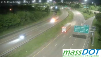
Massachusetts Route 3 · Braintree, MA
Braintree - MA 3 (Route 3) at Washington St and the I-93 overpass - View south - MM 0.0

Massachusetts Route 3 · Braintree, MA
Braintree - MA 3 (Route 3) at Exit 40, Union St Rotary - View south - MM 40.7

Massachusetts Route 3 · Braintree, MA
Braintree - MA 3 (Route 3) 0.5 mi before Exit 40, Union St - View south - MM 41.6
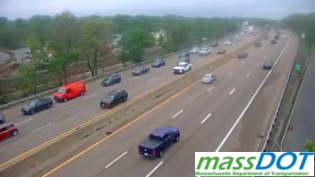
Massachusetts Route 3 · Braintree, MA
Braintree - MA 3 (Route 3) 1 mi before Exit 40, Union St - View north - MM 39.4

Massachusetts Route 3 · Weymouth, MA
Weymouth - MA 3 (Route 3) 1.5 mi before Exit 40, Union St - View north - MM 39.0
Massachusetts Route 3 · Weymouth, MA
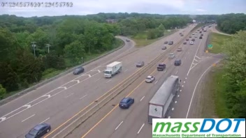
Weymouth - MA 3 (Route 3) at Exit 38, Rt 18 - View south - MM 38.3
★ My Cams Cameras you star, kept in this browser
More JamJumper:
 JamJumper