291.1
Trabing Interchangelooking south
6.92M S. of Buffalo - MM 291.1
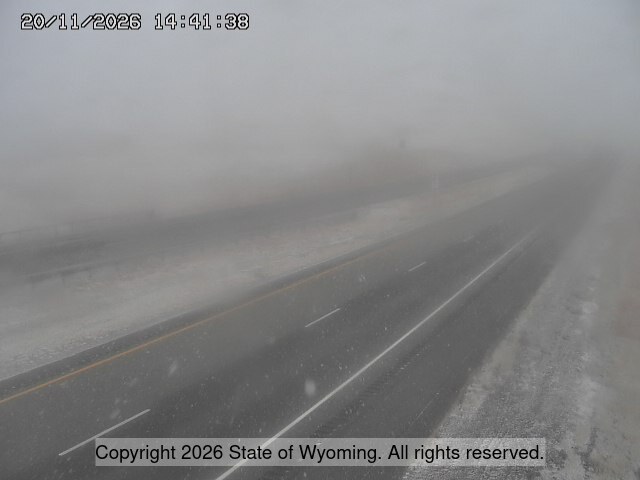
looking north
6.92M S. of Buffalo - MM 291.1
road surface
6.92M S. of Buffalo - MM 291.1
- ⋮ 19 mi
272.1
Mile Marker 272looking south
MM 272.10
looking north
MM 272.10
another view
MM 272.10
267.3
I-25 Dividelooking south
MM 267.30
looking north
MM 267.30
another view
MM 267.30
- ⋮ 28 mi
238.9
Tisdale Dividelooking south
MM 238.87
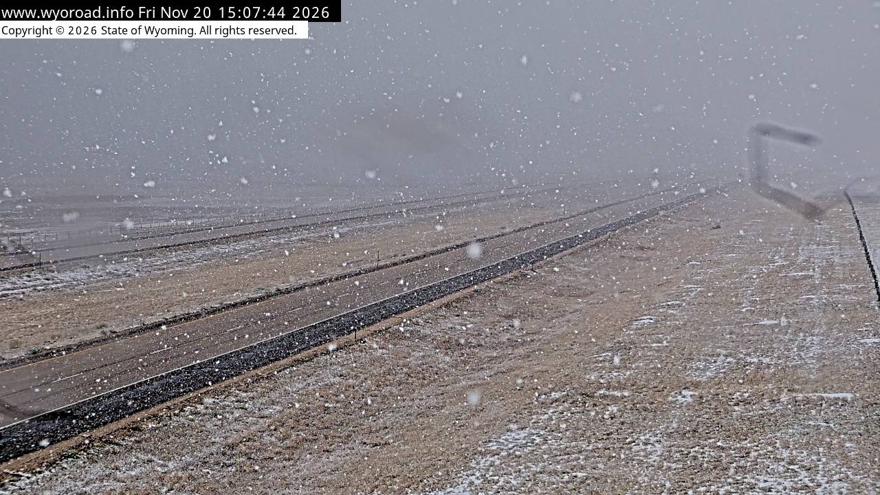
looking north
MM 238.87
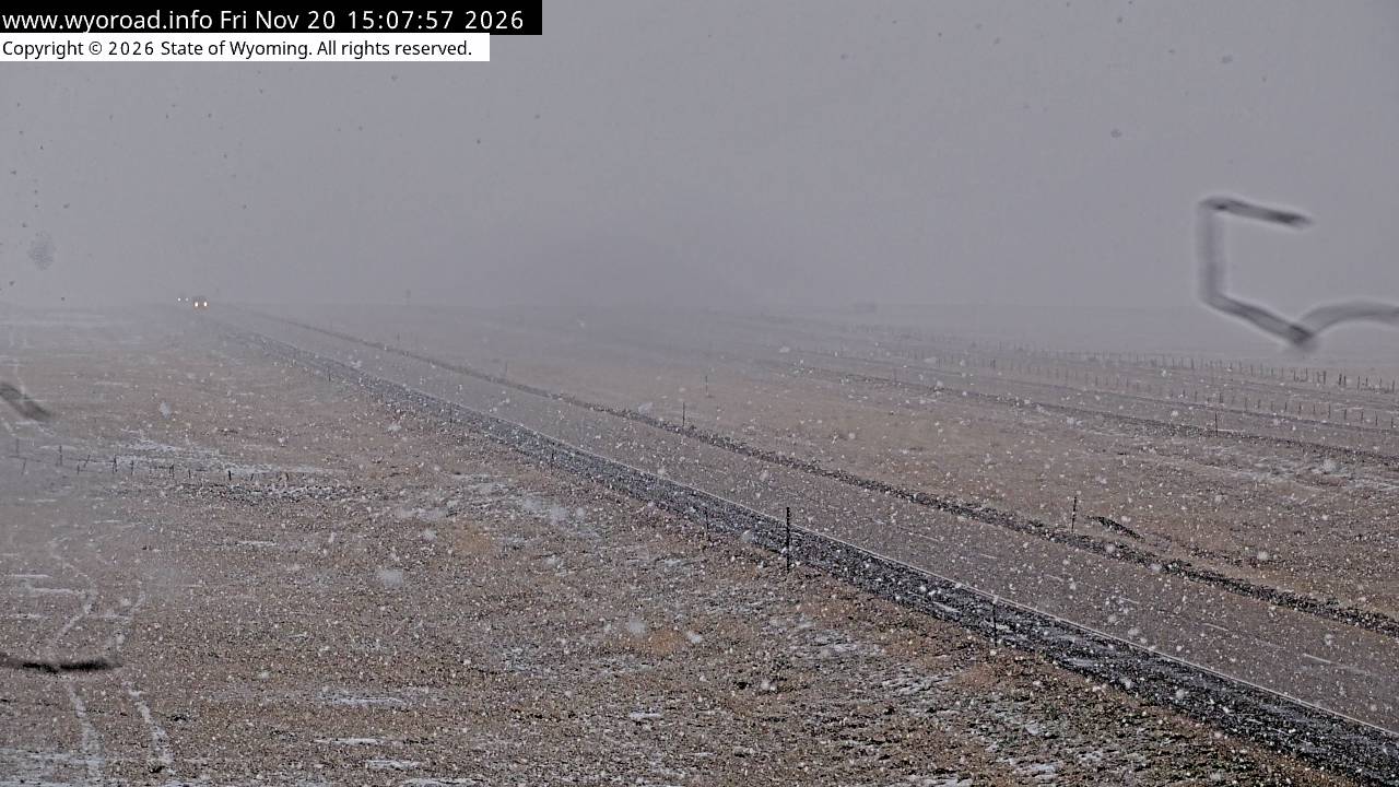
another view
MM 238.87
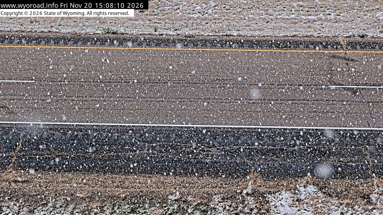
- ⋮ 10 mi
228.6
Smokey Gaplooking south
MM 228.58
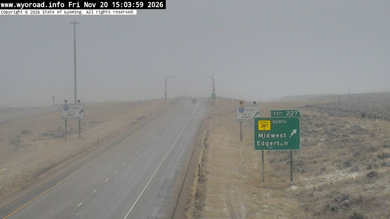
looking north
MM 228.58
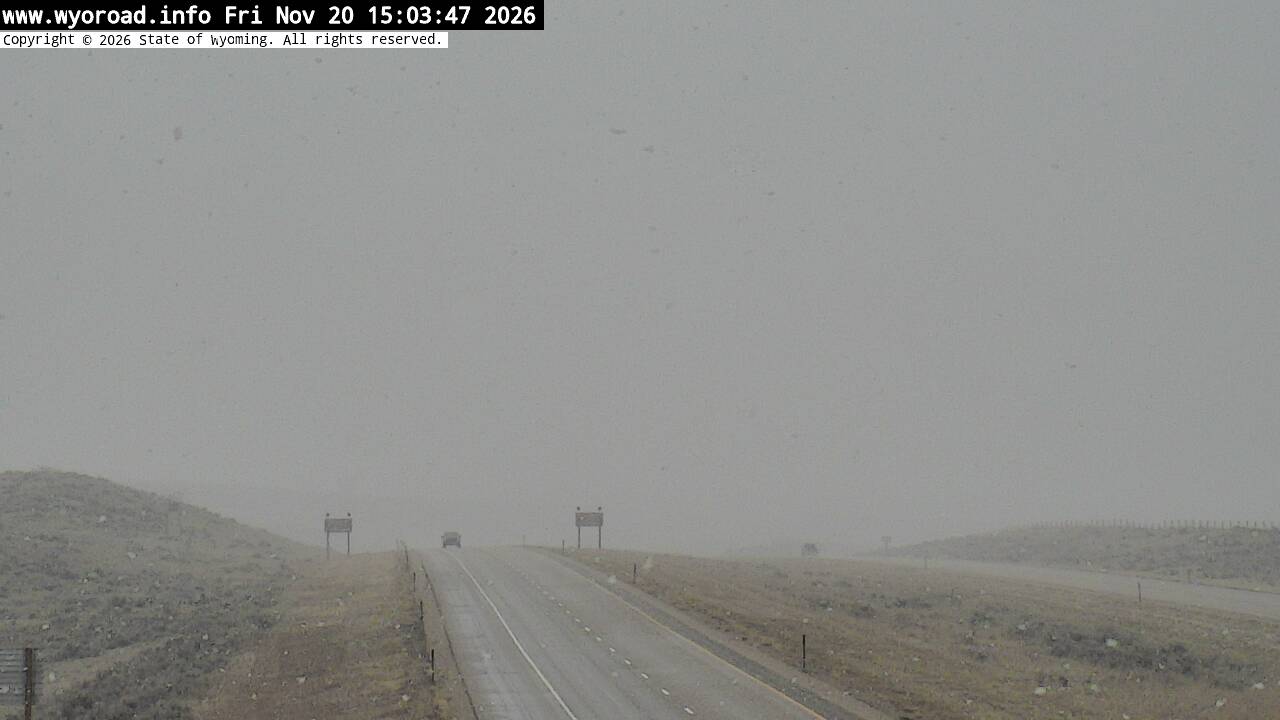
another view
MM 228.58
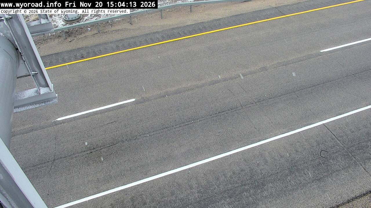
- ⋮ 21 mi
207.2
Twenty Mile Hilllooking south
MM 207.20
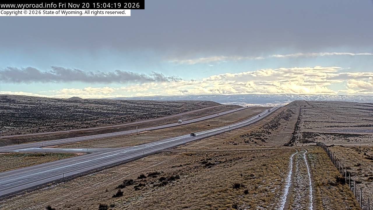
looking north
MM 207.20
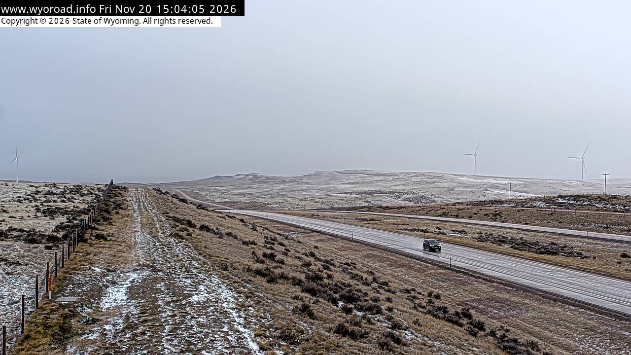
another view
MM 207.20
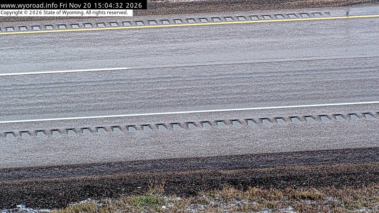
- ⋮ 18 mi
189.5
F Street Hilllooking south
MM 189.51
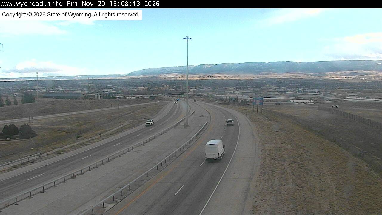
another view
MM 189.51
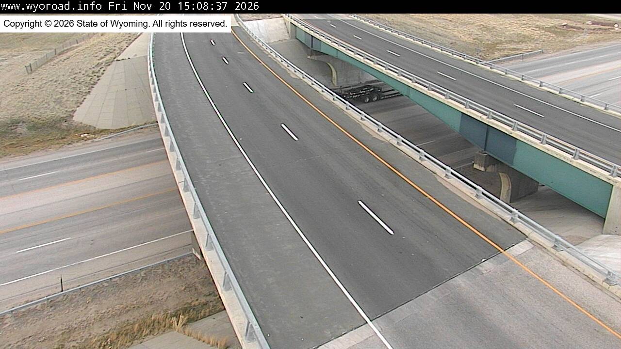
looking north
MM 189.51

another view
MM 189.51
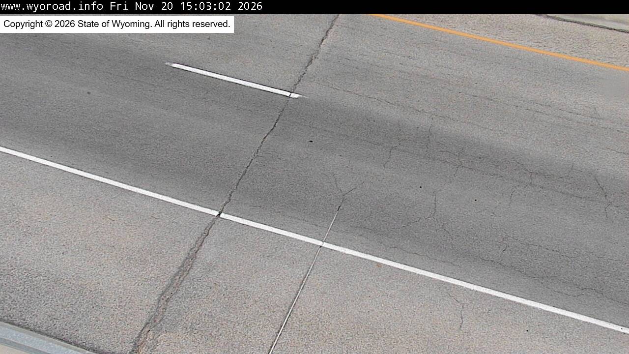
186.8
Casperlooking east
MM 186.80
looking west
MM 186.80
another view
MM 186.80
- ⋮ 5 mi
181.7
Hat Sixlooking east
MM 181.67
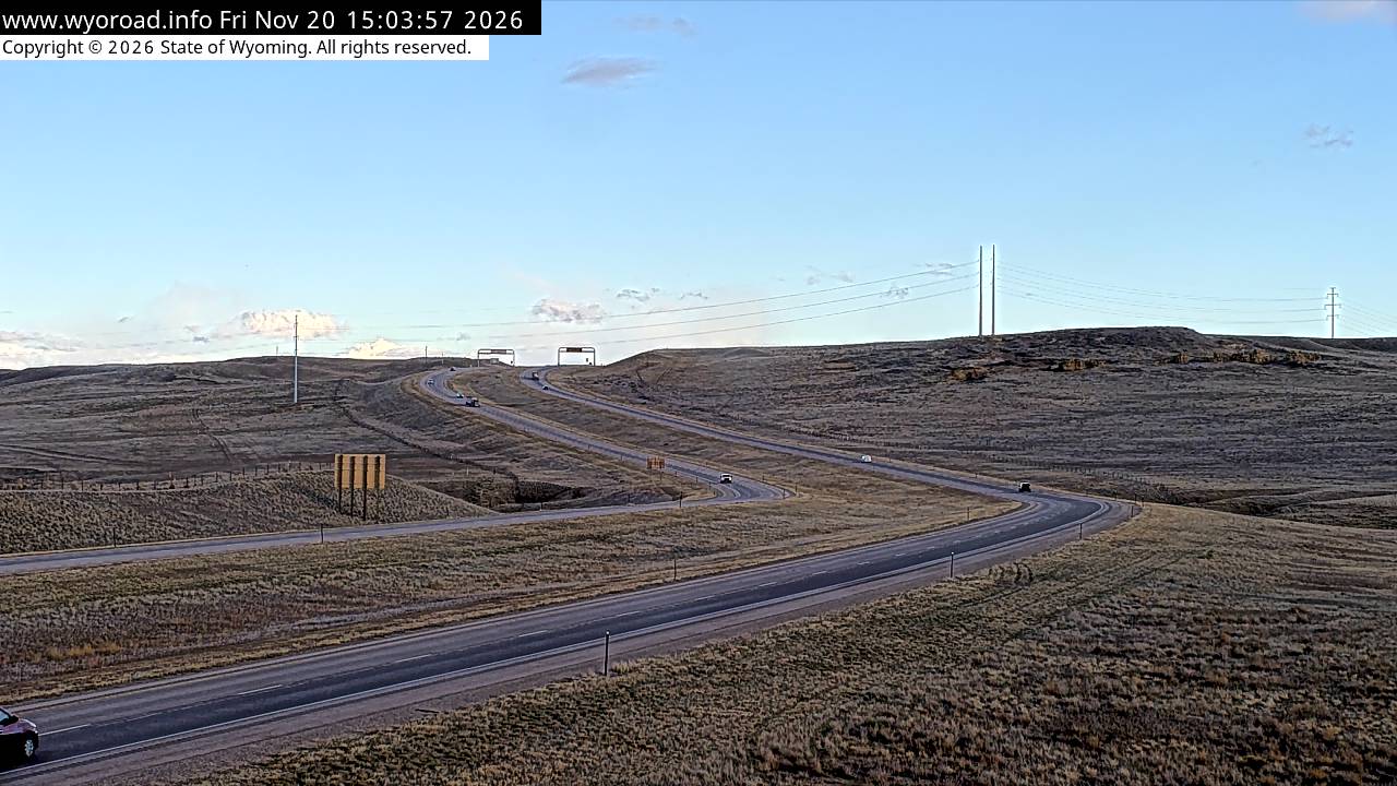
looking west
MM 181.67
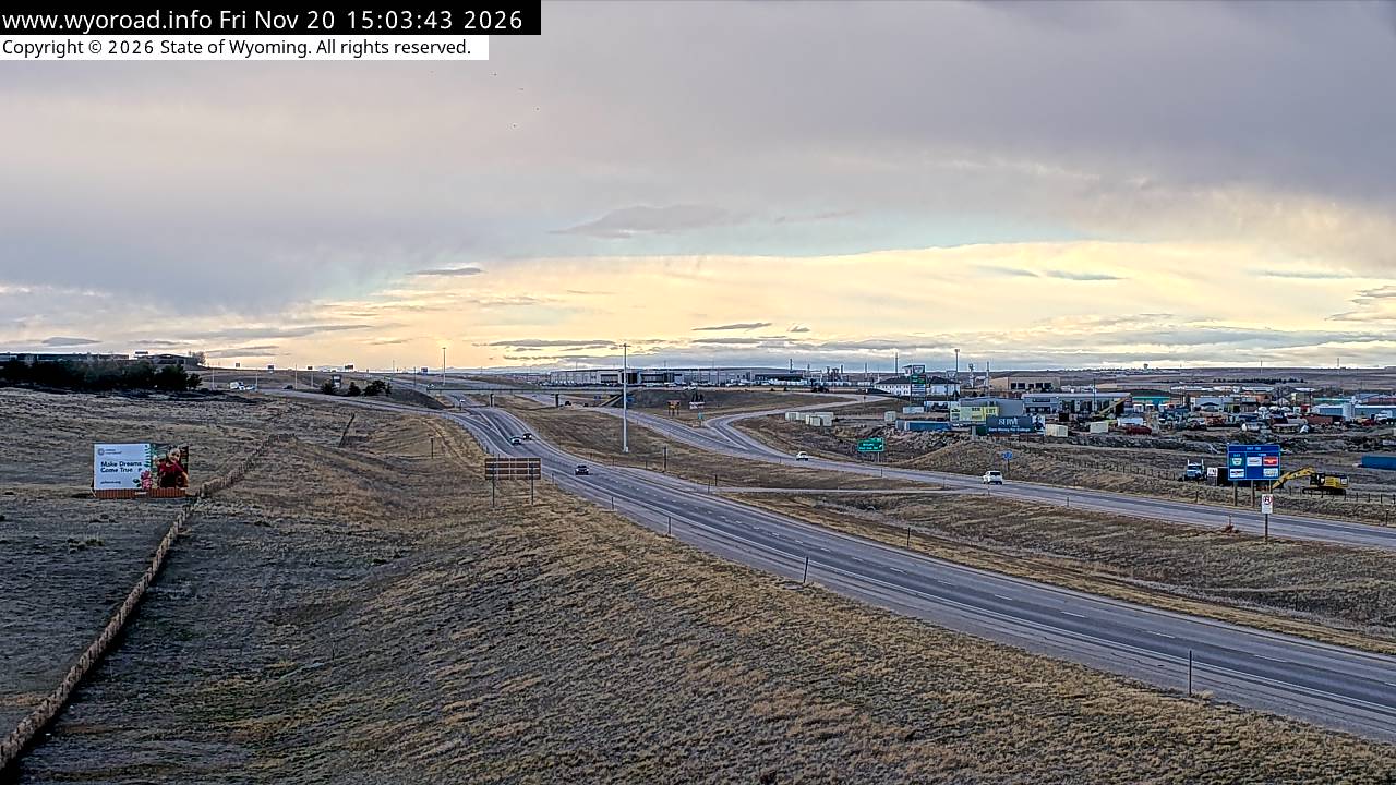
another view
MM 181.67
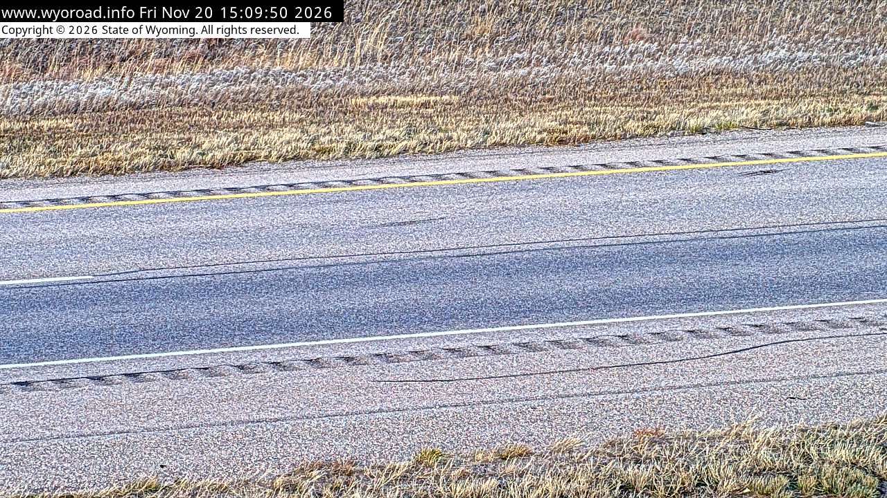
- ⋮ 17 mi
164.2
Deer Creeklooking south
MM 164.20
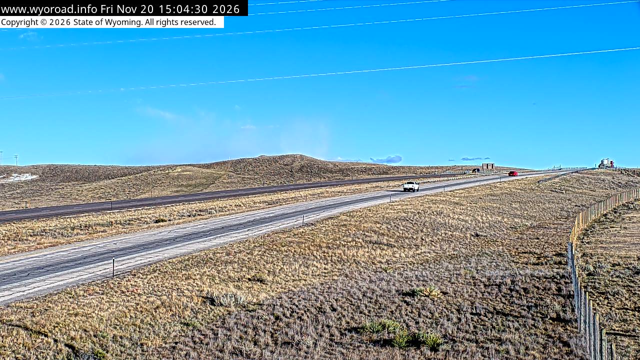
looking north
MM 164.20
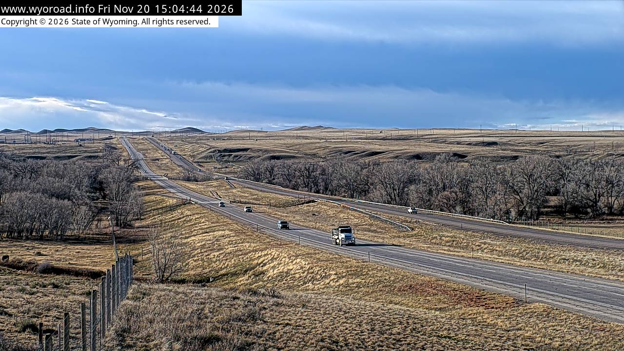
another view
MM 164.20
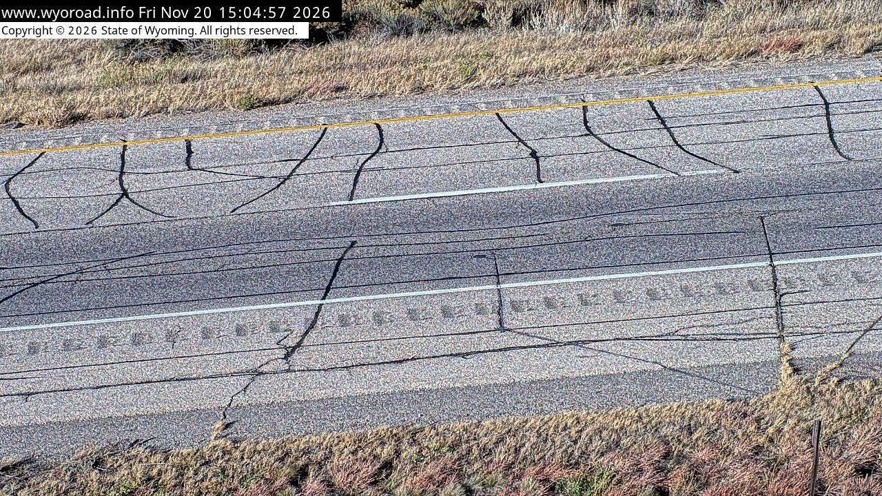
- ⋮ 13 mi
151.2
Natural Bridge Interchangelooking east
MM 151.20
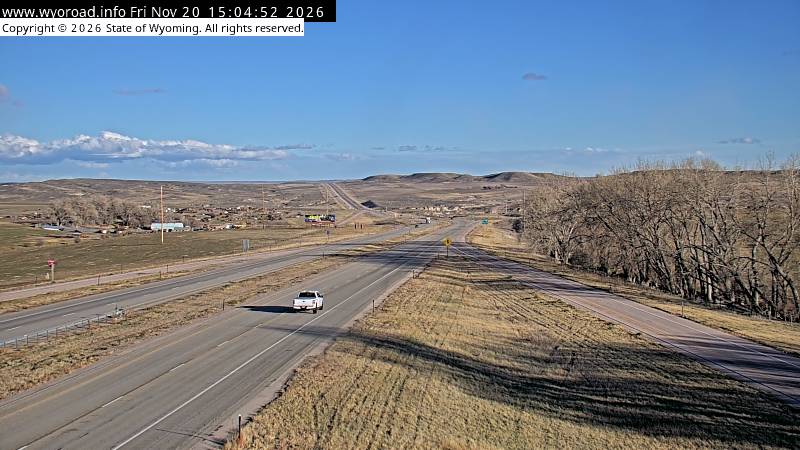
looking west
MM 151.20
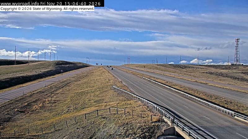
another view
MM 151.20
- ⋮ 18 mi
133.7
East Douglaslooking south
MM 133.70
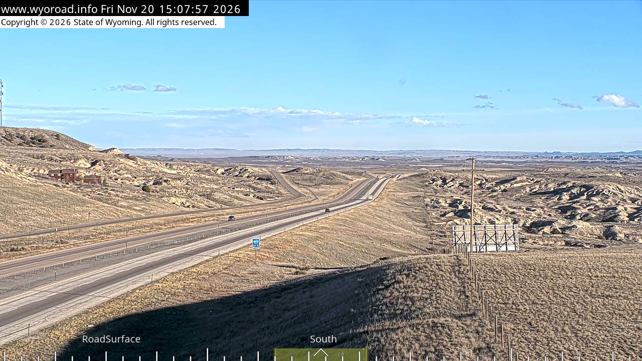
looking north
MM 133.70
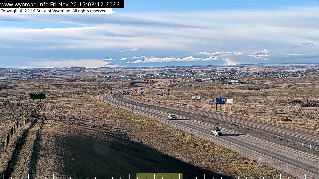
another view
MM 133.70
- ⋮ 7 mi
126.5
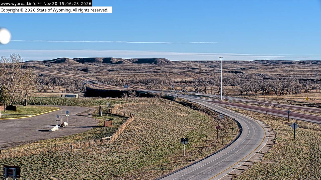
Orin Junctionlooking south
MM 126.47
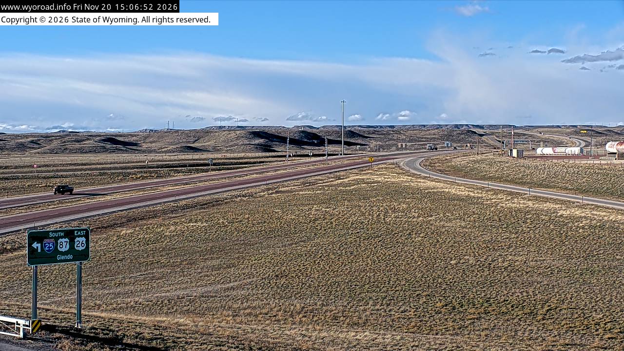
looking north
MM 126.47
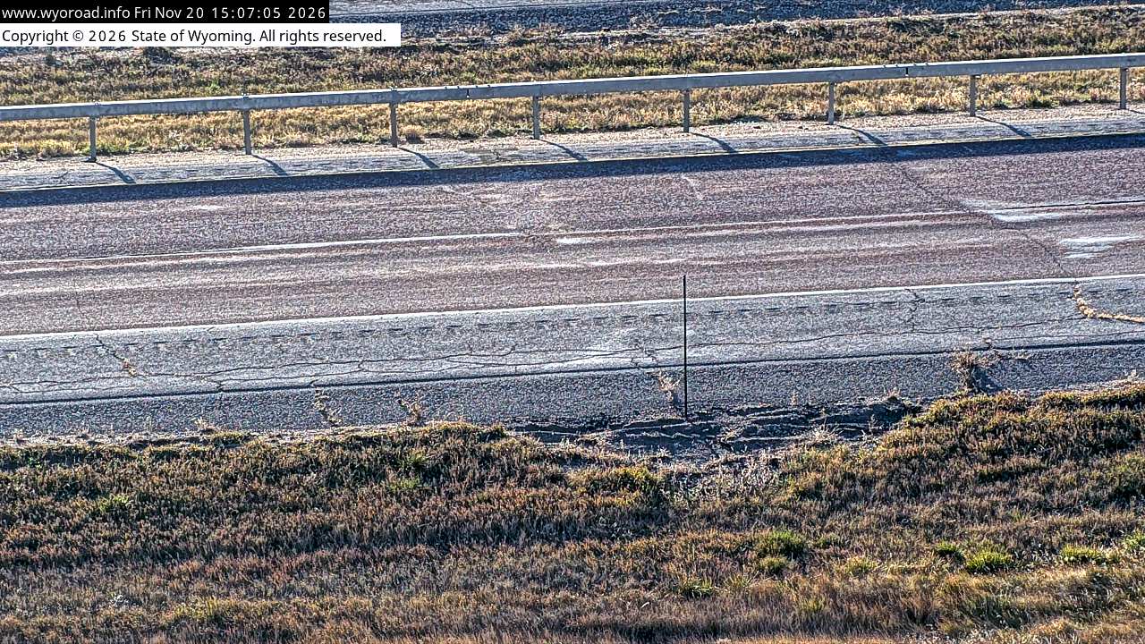
another view
MM 126.47
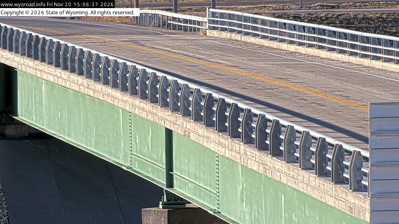
another view
MM 126.47
- ⋮ 7 mi
119.9
Platte/Converse County Linelooking south
MM 119.90
looking north
MM 119.90
another view
MM 119.90
- ⋮ 21 mi
98.7
Colemanlooking south
MM 98.70
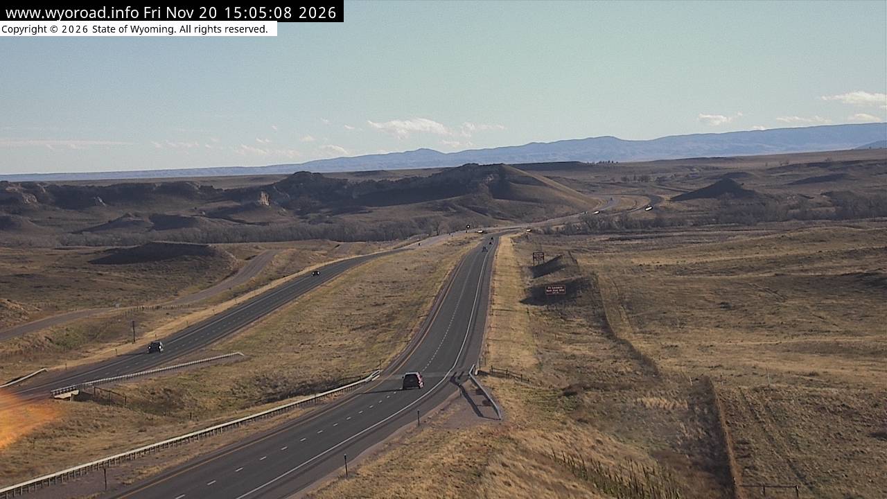
looking north
MM 98.70
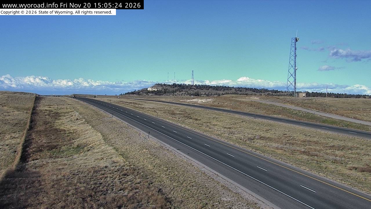
another view
MM 98.70
- ⋮ 6 mi
92.3
Dwyer Junctionlooking south
MM 92.30
another view
MM 92.30
looking east
MM 92.30
another view
MM 92.30
looking north
MM 92.30
another view
MM 92.30
- ⋮ 22 mi
70.8
Bordeaux Interchangelooking south
MM 70.80
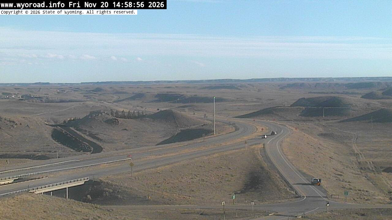
another view
MM 70.80
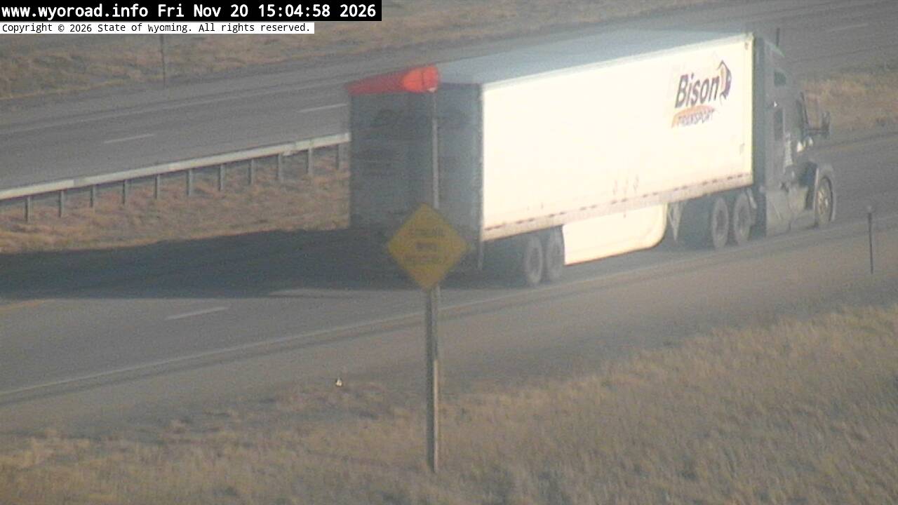
looking north
MM 70.80
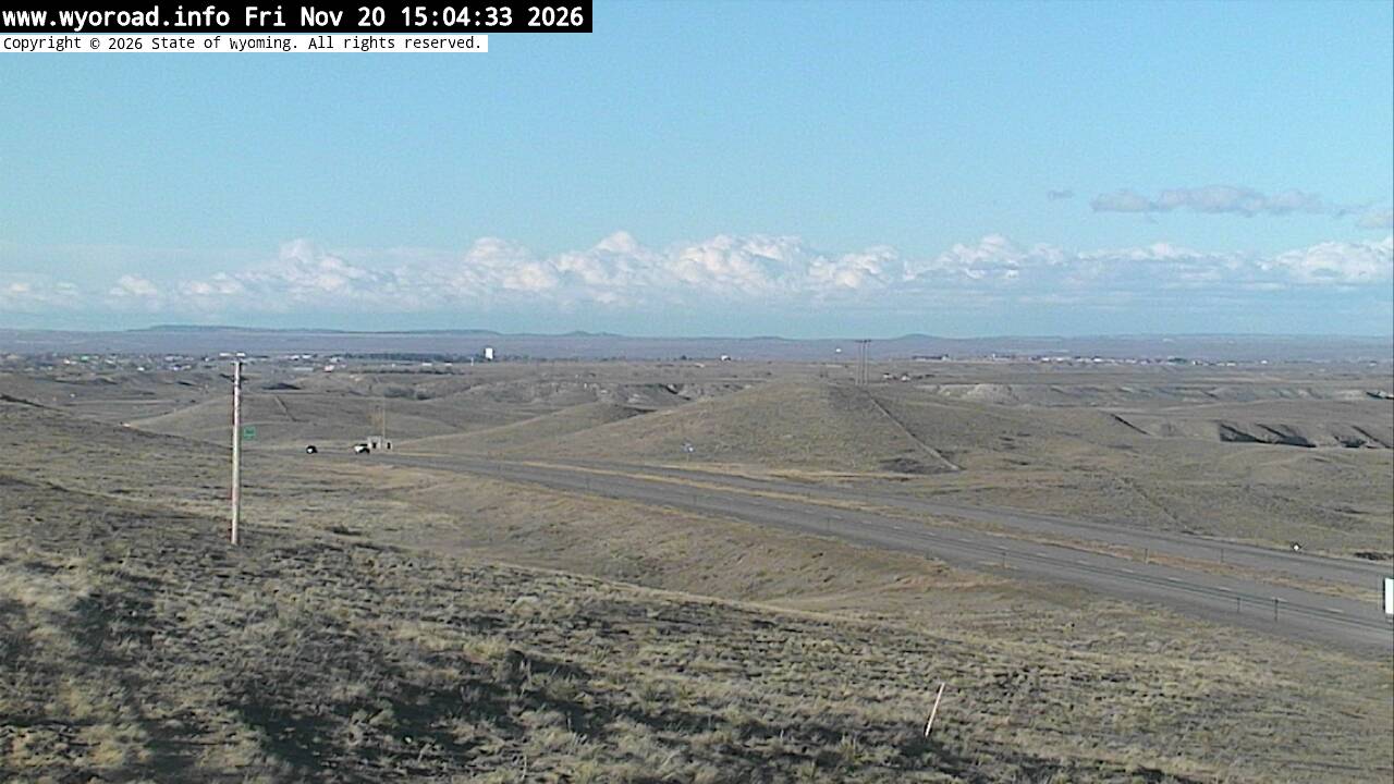
- ⋮ 11 mi
59.4
Chugwater Northlooking south
MM 59.40
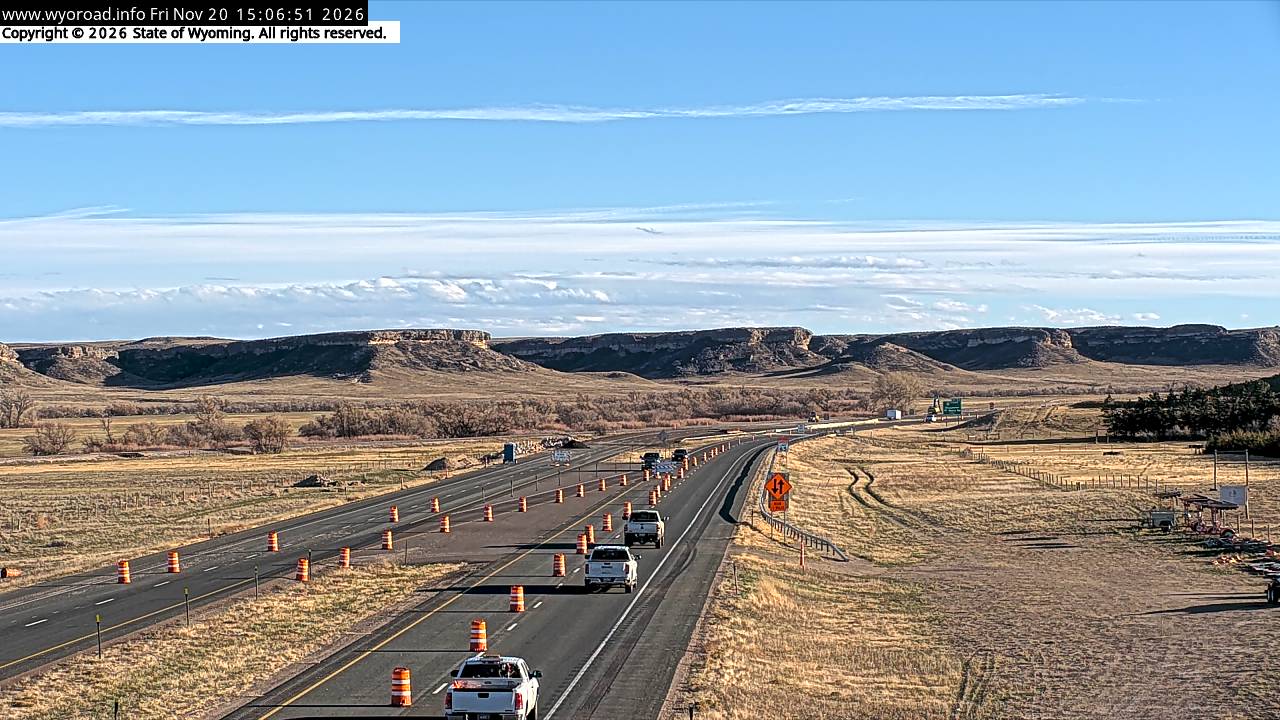
looking north
MM 59.40
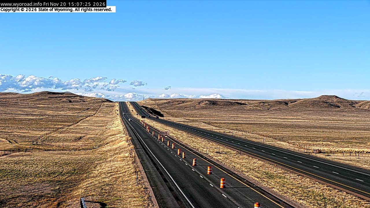
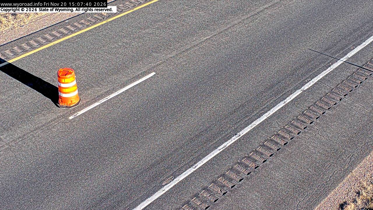
another view
MM 59.40
- ⋮ 13 mi
46.8
Bear Creeklooking south
MM 46.77
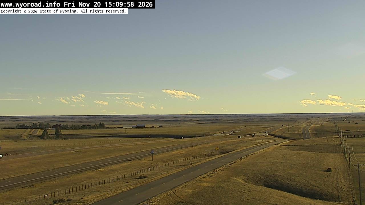
looking north
MM 46.77
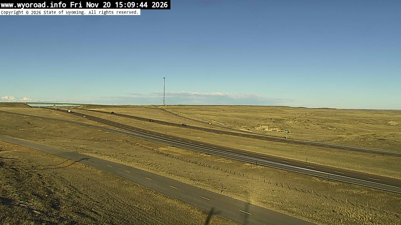
another view
MM 46.77
- ⋮ 19 mi
28.1
Whitakerlooking south
MM 28.10
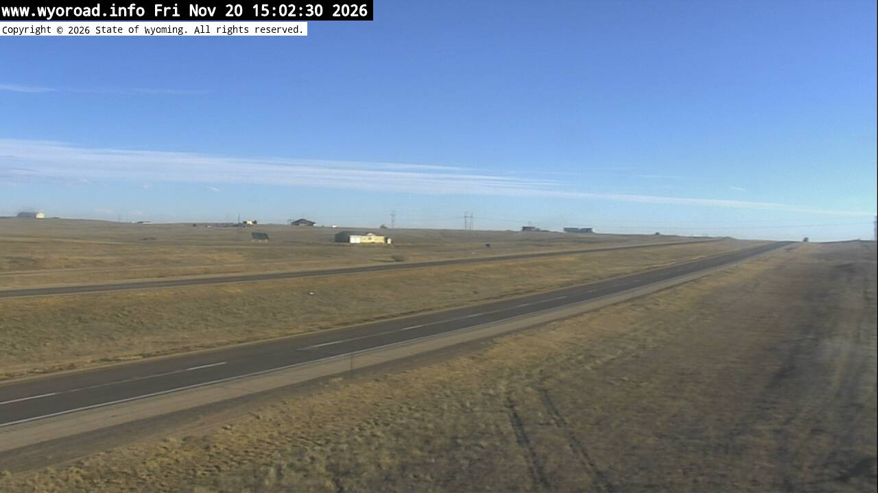
looking north
MM 28.10
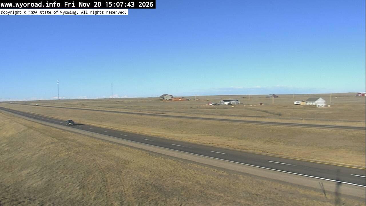
another view
MM 28.10
- ⋮ 12 mi
15.8
Cheyenne Northlooking south
MM 15.80
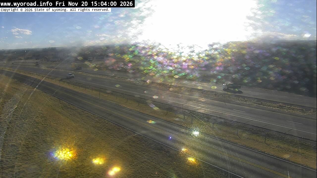
looking north
MM 15.80
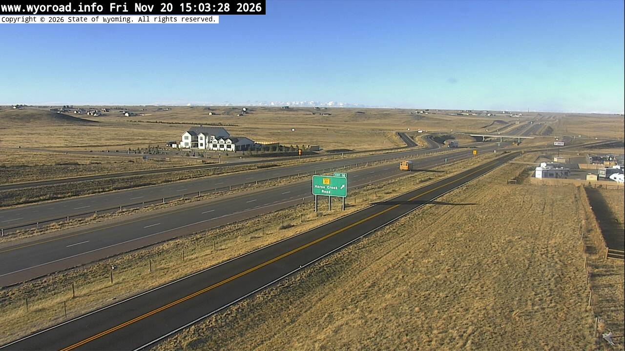
another view
MM 15.80
- ⋮ 8 mi
8.1
College Drivelooking south
MM 8.05
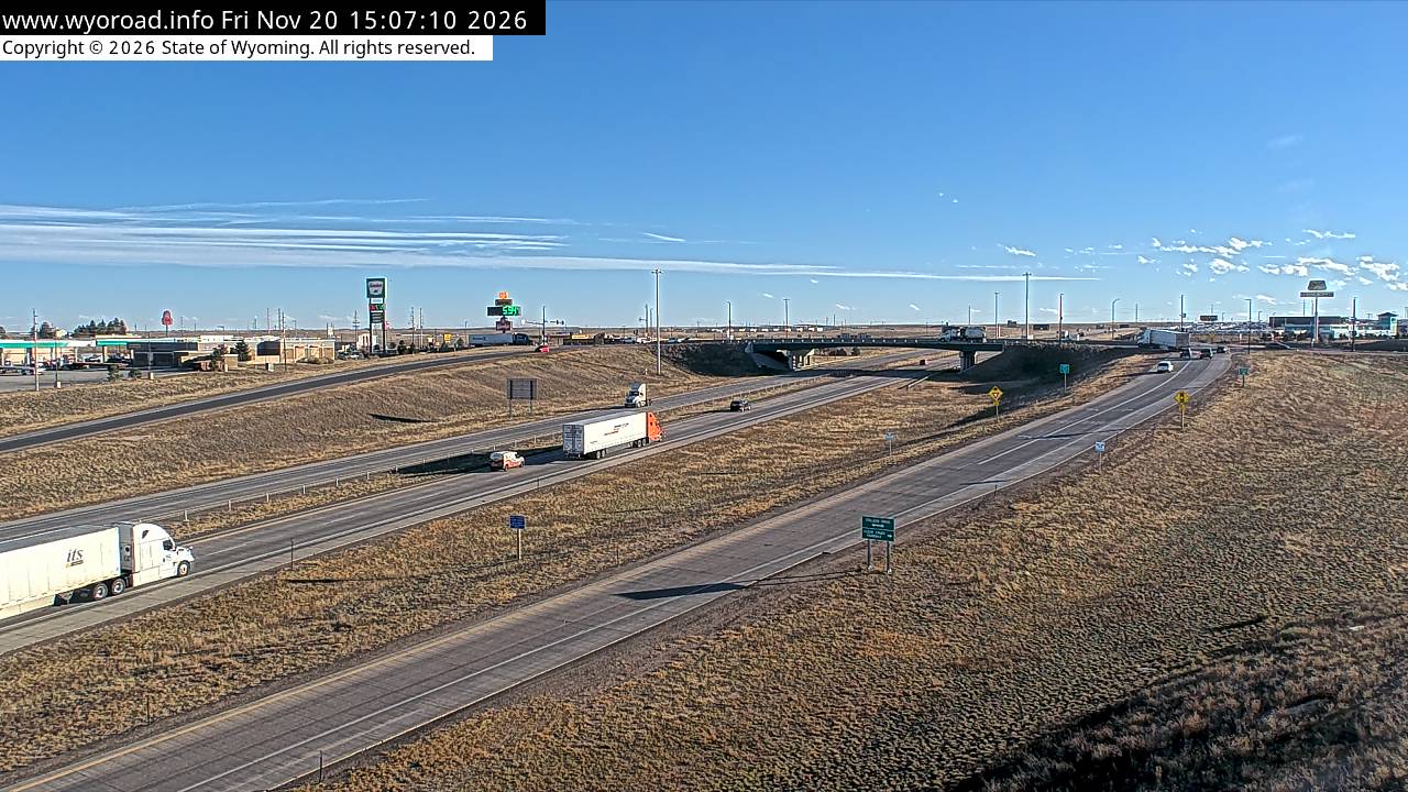
another view
MM 8.05
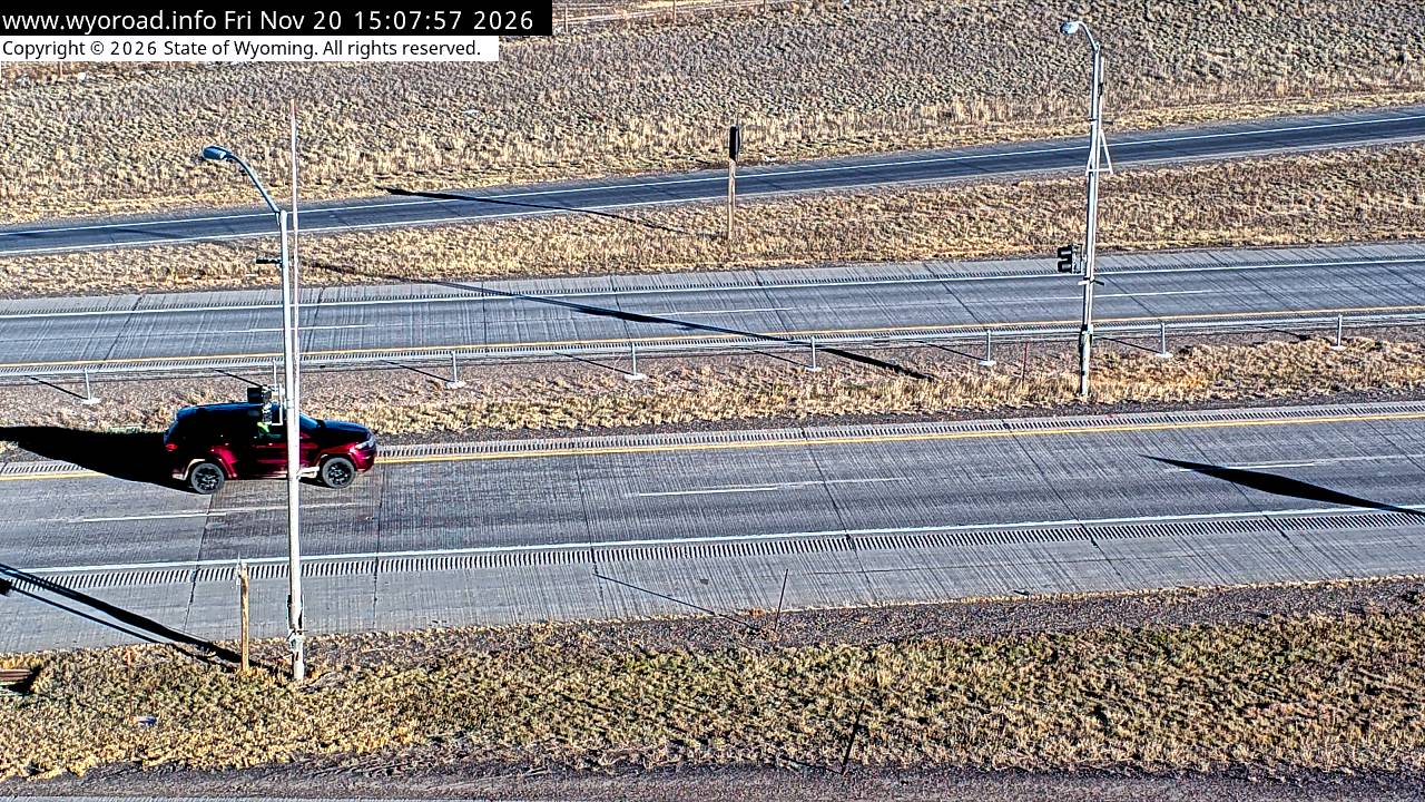
another view
MM 8.05
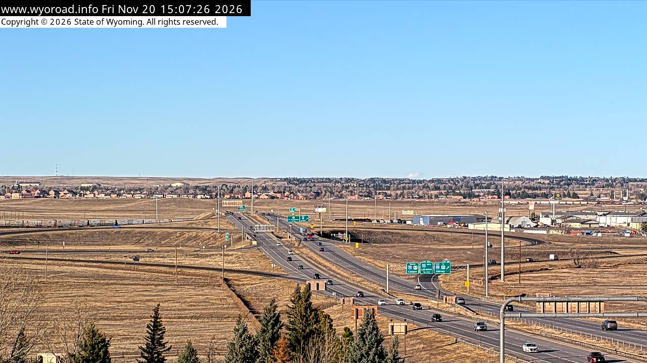
looking north
MM 8.05
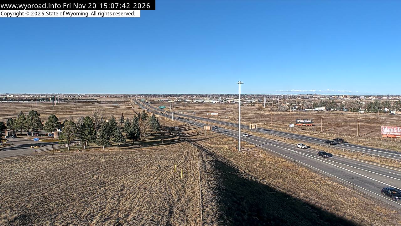
6.4
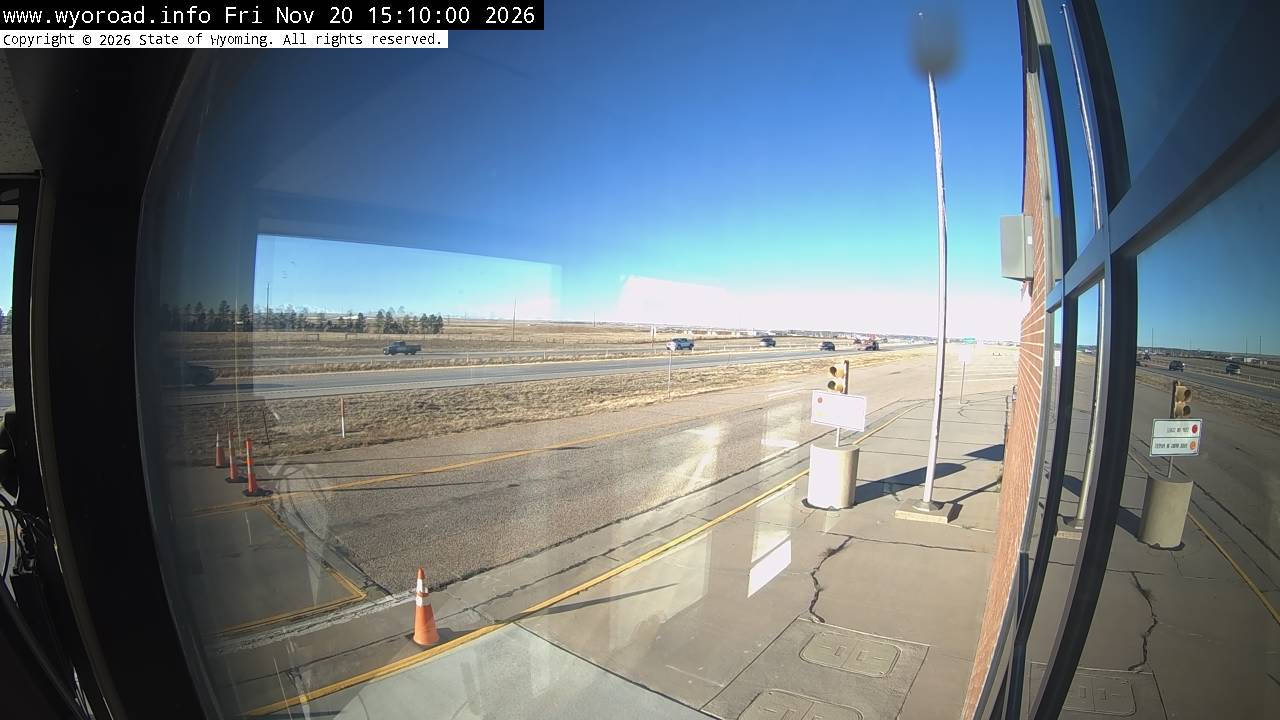
Cheyenne South POE
MM 6.40
CarrCO · 6 cams
3.51M S Cheyenne - MM 3.52
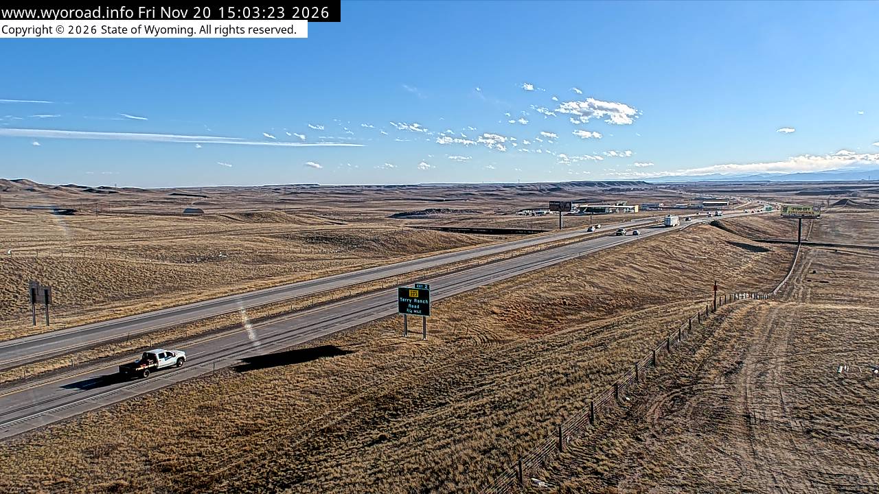
looking north
3.51M S Cheyenne - MM 3.52
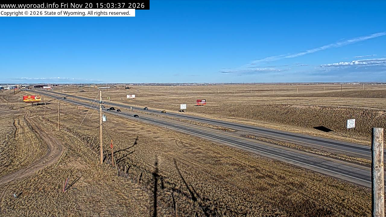
road surface
3.51M S Cheyenne - MM 3.52
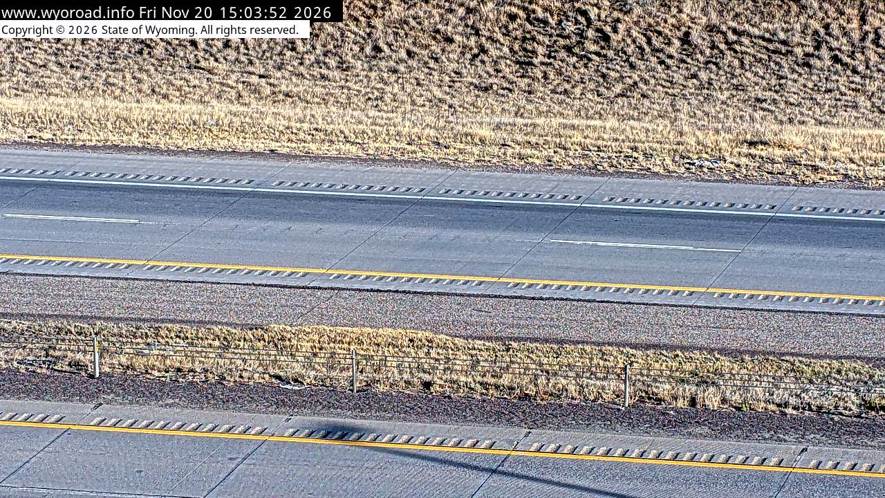
1.3
Colorado State Linelooking south
MM 1.25
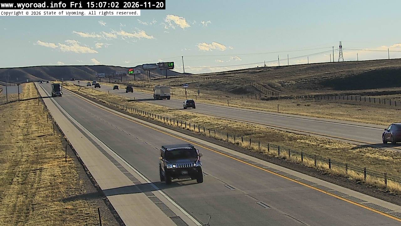
looking north
MM 1.25
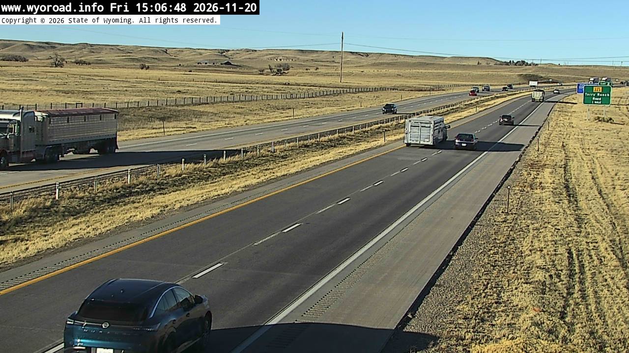
another view
MM 1.25
 JamJumper