Parker - I-25 MP 196.25 NB : 0.1 miles N of E Dry Creek - View north - MM 196.25
Light rail nearby: RTD E Line, Dry Creek Station. I-25 through Denver: crashes and closures right now, by exit ›

A CDOT sign says “CLOSURE RAMP TO I-70 WEST CLOSED / WILL REOPEN MONDAY 11/16 AT 4 AM” since , on I-225 northbound at MM 2.3, 1.2 mile North of South Yosemite Street (5 mi from this camera). From CDOT COtrip, checked 6:52 pm MT.
A CDOT sign says “I-225 NB TO WB I-70 CLOSED FOR MAINT OPERATIONS / WILL REOPEN MONDAY 4AM” since , on I-225 northbound at MM 7.8, 0.1 mile South of East Alameda Avenue (9 mi from this camera).
Earlier The CDOT sign on I-25 NB MM 208.8 said “CRASH US-6 WB WEST OF FEDERAL / RIGHT LANES BLOCKED USE CAUTION” from to about .
Cams nearby
 E County Line RdI-25 · North · 1 mi
 S Dayton StCO-88 · West · 1 mi
 S Boston StCO-88 · West · 1 mi
 E Arapahoe Rd NB I-25 RampCO-88 · West · 1 mi
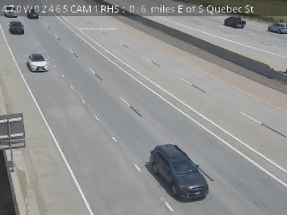 S Quebec StC-470 · West · 1 mi
 S Lima StCO-88 · East · 1 mi
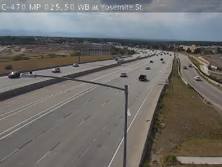 S Yosemite StC-470 · West · 1 mi
 E Arapahoe RdI-25 · North · 2 mi
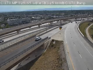 WB C-470C-470 · West · 2 mi
 S Yosemite StC-470 · East · 2 mi
★ My Cams Cameras you star, kept in this browser
More JamJumper:
 JamJumper