Community in Jefferson County, Colorado.
Kept in this browser. No account.
Indian Hills: 10 cams · Colorado: 1,369 cams, 24 passes · JamJumper: 9,493 traffic cams in 22 states · 225 mountain passes & canyons
Right now near Indian Hills: 1 chain or traction law · 1 snowy
 Traction law in effect since 3:07 pmHoosier Pass11,542 ft · 48 mi
 OpenFloyd Hill14 mi
 OpenKenosha Pass9,997 ft · 31 mi
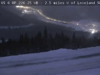 OpenLoveland Pass11,990 ft · 36 mi
All 2 trouble spots and every pass, open or closed, right now ›
A CDOT sign says “EXPRESS LANE CLOSED” since , on I-70 westbound at MM 246.4, 0.2 mile West of Homestead Road Beaver Brook (11 mi from town). From CDOT COtrip, checked 4:37 pm MT.
C-470
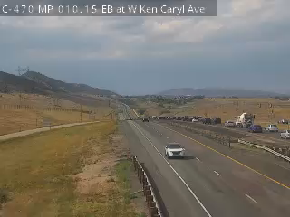
Indian Hills - C-470 MP 010.15 EB at W Ken Caryl Ave - View east - MM 10.15
C-470
Indian Hills - C-470 MP 011.70 EB : 0.8 miles W of S Kipling Pkwy - View east - MM 11.7

43°F, mostly clear, wind 4 mph. Down to 37°F by 4 am.
Road miles by mile marker, rounded.
US 285
Indian Hills - US 285 MP 245.90 SB at Parmalee Gulch Rd in Indian Hills - View south - MM 245.9

US 285
Indian Hills - US 285 MP 245.55 NB at S Turkey Creek Rd at Indian Hills - View north - MM 245.55

US 285
Indian Hills - US 285 MP 245.55 NB at S Turkey Creek Rd at Indian Hills - View south - MM 245.55

US 285
Indian Hills - US 285 MP 245.15 NB at Twin Forks - View north - MM 245.15

US 285
Indian Hills - US 285 MP 244.65 NB : 0.6 miles N of N Turkey Creek Rd - View north - MM 244.65

US 285
Indian Hills - US 285 MP 243.15 SB : 0.9 miles S of N Turkey Creek Rd - View south - MM 243.15

US 285
Indian Hills - US 285 MP 241.10 NB : 0.4 miles N of Doubleheader Ranch Rd - View north - MM 241.1

US 285
Indian Hills - US 285 MP 241.10 NB : 0.4 miles N of Doubleheader Ranch Rd - View south - MM 241.1

Checking Indian Hills often? Save it and it’s one tap from every page: the cams, the passes, the signs.
★ My Cams Cameras you star, kept in this browser
More JamJumper:
 JamJumper


 Evergreen
 Conifer
 Beaver Brook
 Lakewood